ธรรมชาติ
แหล่งน้ำ ธารน้ำแข็ง และธรรมชาติอันกว้างใหญ่ของบาร์เบโดส
ทะเลสาบ น้ำตก ธารน้ำแข็ง อุทยานแห่งชาติ และที่พักบนภูเขา แต่ละแห่งพร้อมที่ตั้ง ขนาด และสภาพอากาศโดยรอบ
ชายหาด7แต่ละแห่งมีหน้าของตัวเอง
เกาะ5แต่ละแห่งมีหน้าของตัวเอง
ถ้ำ1แต่ละแห่งมีหน้าของตัวเอง
แม่น้ำ5แต่ละแห่งมีหน้าของตัวเอง

ภาพ: The original uploader was ROxBo at English Wikipedia. · Public domain · Wikimedia Commonsแจ้งเกี่ยวกับภาพนี้ · ลิงก์ไปยังต้นทาง ไม่จัดเก็บ
ชายหาด
ชายหาดในบาร์เบโดส

ภาพ: The original uploader was ROxBo at English Wikipedia. · Public domain · Wikimedia Commonsแจ้งเกี่ยวกับภาพนี้ · ลิงก์ไปยังต้นทาง ไม่จัดเก็บ
Miami Beach, Barbados
Oistins, Christ Church

ภาพ: Berit from Redhill/Surrey, UK · CC BY 2.0 · Wikimedia Commonsแจ้งเกี่ยวกับภาพนี้ · ลิงก์ไปยังต้นทาง ไม่จัดเก็บ
Worthing Beach
Hastings, Christ Church
5 m

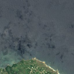
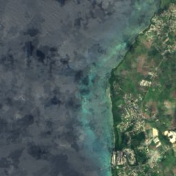
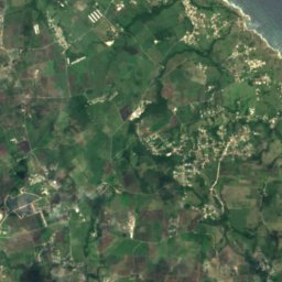
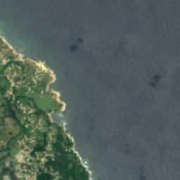
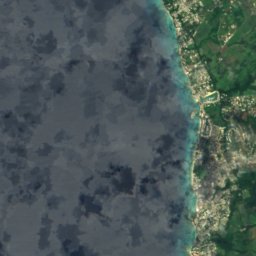
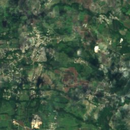
ดาวเทียม: Sentinel-2 cloudless 2016 โดย EOX IT Services GmbH · CC BY 4.0 · มีข้อมูล Copernicus Sentinel (2016) ที่ดัดแปลงแล้ว
Heywoods Beach
Speightstown, Saint Peter
50 m
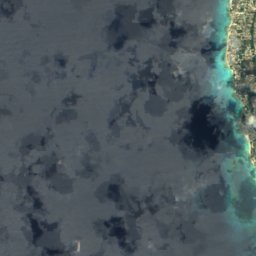
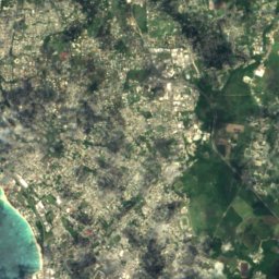
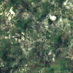
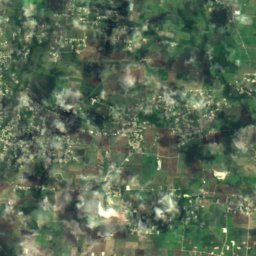
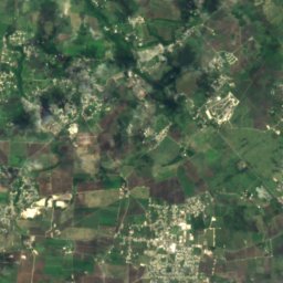
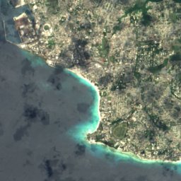
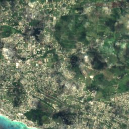
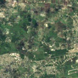
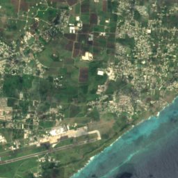
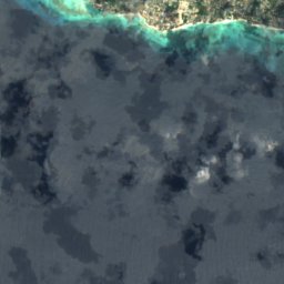
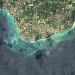
ดาวเทียม: Sentinel-2 cloudless 2016 โดย EOX IT Services GmbH · CC BY 4.0 · มีข้อมูล Copernicus Sentinel (2016) ที่ดัดแปลงแล้ว
Maxwell Coast
Oistins, Christ Church
10 m
ดาวเทียม: Sentinel-2 cloudless 2016 โดย EOX IT Services GmbH · CC BY 4.0 · มีข้อมูล Copernicus Sentinel (2016) ที่ดัดแปลงแล้ว
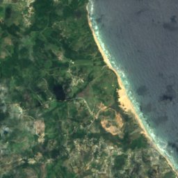
Rockley Beach
Hastings, Christ Church
5 m
ดาวเทียม: Sentinel-2 cloudless 2016 โดย EOX IT Services GmbH · CC BY 4.0 · มีข้อมูล Copernicus Sentinel (2016) ที่ดัดแปลงแล้ว
Morgan Lewis Beach
Greenland, Saint Andrew
10 m
เกาะ
เกาะในบาร์เบโดส

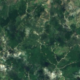
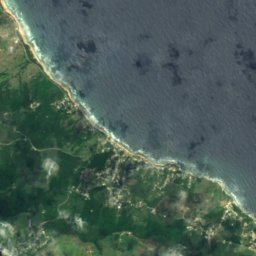
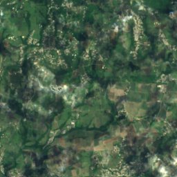
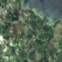
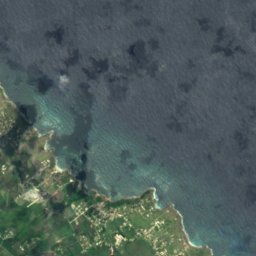
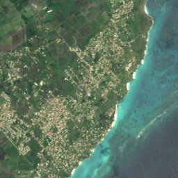
ดาวเทียม: Sentinel-2 cloudless 2016 โดย EOX IT Services GmbH · CC BY 4.0 · มีข้อมูล Copernicus Sentinel (2016) ที่ดัดแปลงแล้ว
Culpepper Island
Church Village, Saint Philip
18 m
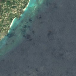
ดาวเทียม: Sentinel-2 cloudless 2016 โดย EOX IT Services GmbH · CC BY 4.0 · มีข้อมูล Copernicus Sentinel (2016) ที่ดัดแปลงแล้ว
Bow Bells Reef
Oistins, Christ Church
ดาวเทียม: Sentinel-2 cloudless 2016 โดย EOX IT Services GmbH · CC BY 4.0 · มีข้อมูล Copernicus Sentinel (2016) ที่ดัดแปลงแล้ว
Cobblers Reef
The Crane, Saint Philip
ดาวเทียม: Sentinel-2 cloudless 2016 โดย EOX IT Services GmbH · CC BY 4.0 · มีข้อมูล Copernicus Sentinel (2016) ที่ดัดแปลงแล้ว
Harrison Reefs
Crab Hill, Saint Lucy
ถ้ำ
ถ้ำในบาร์เบโดส

ภาพ: Berit from Redhill/Surrey, UK · CC BY 2.0 · Wikimedia Commonsแจ้งเกี่ยวกับภาพนี้ · ลิงก์ไปยังต้นทาง ไม่จัดเก็บ
Animal Flower Cave
Crab Hill, Saint Lucy
แม่น้ำ
แม่น้ำในบาร์เบโดส

ภาพ: Kaspar C from Barbados · CC BY-SA 2.0 · Wikimedia Commonsแจ้งเกี่ยวกับภาพนี้ · ลิงก์ไปยังต้นทาง ไม่จัดเก็บ
Long Pond River
Greenland, Saint Andrew
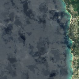
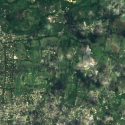
ดาวเทียม: Sentinel-2 cloudless 2016 โดย EOX IT Services GmbH · CC BY 4.0 · มีข้อมูล Copernicus Sentinel (2016) ที่ดัดแปลงแล้ว
Constitution River
Bridgetown, Saint Michael
10 m
ดาวเทียม: Sentinel-2 cloudless 2016 โดย EOX IT Services GmbH · CC BY 4.0 · มีข้อมูล Copernicus Sentinel (2016) ที่ดัดแปลงแล้ว
Indian River
Bridgetown, Saint Michael
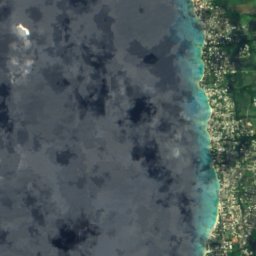
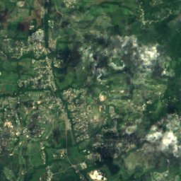


ดาวเทียม: Sentinel-2 cloudless 2016 โดย EOX IT Services GmbH · CC BY 4.0 · มีข้อมูล Copernicus Sentinel (2016) ที่ดัดแปลงแล้ว
Bruce Vale River
Greenland, Saint Andrew
1 m
ดาวเทียม: Sentinel-2 cloudless 2016 โดย EOX IT Services GmbH · CC BY 4.0 · มีข้อมูล Copernicus Sentinel (2016) ที่ดัดแปลงแล้ว
Joes River (Barbabos)
Bathsheba, Saint Joseph