
Photo: Kleomarlo · CC BY-SA 3.0 · Wikimedia Commons
Mount Dulang-dulangReport this photo · linked, not stored
Mount Dulang-dulangReport this photo · linked, not stored

Photo: Kleomarlo · CC BY-SA 4.0 · Wikimedia Commons
Mount KalatunganReport this photo · linked, not stored
Mount KalatunganMount KalatunganReport this photo · linked, not stored
Kitanglad Mountain Range · Northern Mindanao · PhilippinesSummit weather, forecast and climate
Mount Dulang-dulang
2,938 mUltra-prominent peak
Elevation2,938 mabove sea level
Prominence2,440 mindependent height
Isolation131 kmto a higher summit
Summit, Jul14°average high
8.12° N, 124.92° EElevation 2,938 mUTC+8 · Philippine Standard Time
From the valley to the top
- Summit2,938 m
- Mid-mountain2,070 m
- Valley · Kibangay1,195 m
Freezing level in October: above the summit
iThe mountain
Mount Dulang-dulang in brief
Mount Dulang-dulang rises to 2,938 m in the Kitanglad Mountain Range, Northern Mindanao, Philippines. Its topographic prominence — the height it stands above the lowest contour enclosing a higher summit — is 2,440 m, which makes it an ultra-prominent peak.
At the summit, April is the mildest month with average highs of 15°, while nights rarely fall below freezing.
The nearest town in the atlas is Kibangay, 7.9 km to the SW at 1,195 m.
Facts
- Elevation
- 2,938 m · 9,639 ft
- Prominence
- 2,440 m
- Range
- Kitanglad Mountain Range
- Region
- Northern Mindanao
- Country
- Philippines
- Coordinates
- 8.1153, 124.9208
- Nearest airport
- Laguindingan International Airport (CGY) · 75 km
iiForecast
Weather at three heights
Temperatures are adjusted to each height; summits are usually colder and windier than the valley forecast suggests.
Loading the latest forecast…
Loading the latest forecast…
Loading the latest forecast…
iiiSummit climate
The top of Mount Dulang-dulang by month
Summit temperatures and precipitation
Climate normals for the summit area (~1 km grid), station-adjusted| Month | Jan | Feb | Mar | Apr | May | Jun | Jul | Aug | Sep | Oct | Nov | Dec |
|---|---|---|---|---|---|---|---|---|---|---|---|---|
| Average high | 13° | 14° | 14° | 15° | 15° | 15° | 14° | 14° | 14° | 14° | 14° | 14° |
| Average low | 7° | 7° | 7° | 7° | 8° | 8° | 7° | 7° | 7° | 7° | 7° | 7° |
| Precipitation | 159 mm | 116 mm | 119 mm | 130 mm | 260 mm | 385 mm | 407 mm | 365 mm | 410 mm | 312 mm | 196 mm | 129 mm |
| Cloud cover | 60% | 55% | 46% | 44% | 64% | 77% | 78% | 76% | 74% | 73% | 65% | 60% |
| Daylight | 11h 42 | 11h 52 | 12h 04 | 12h 18 | 12h 29 | 12h 35 | 12h 33 | 12h 24 | 12h 10 | 11h 57 | 11h 45 | 11h 39 |
| Month score | 30 | 35 | 42 | 48 | 38 | 29 | 27 | 29 | 30 | 30 | 32 | 31 |
Snow and freezing level
Average height of the 0 °C level from the summit normals (6.5 °C per km); snow months have a summit mean at or below +1 °C| Month | Jan | Feb | Mar | Apr | May | Jun | Jul | Aug | Sep | Oct | Nov | Dec |
|---|---|---|---|---|---|---|---|---|---|---|---|---|
| Freezing level | 4,500 m | 4,500 m | 4,550 m | 4,700 m | 4,700 m | 4,650 m | 4,600 m | 4,600 m | 4,600 m | 4,600 m | 4,600 m | 4,500 m |
| Summit | above 0 °C | above 0 °C | above 0 °C | above 0 °C | above 0 °C | above 0 °C | above 0 °C | above 0 °C | above 0 °C | above 0 °C | above 0 °C | above 0 °C |
ivTerrain
Mount Dulang-dulang in 3D
vNeighbours
Mountains of the PhilippinesPeaks nearby
| Mountain | Elevation | Prominence | Distance | July summit high |
|---|---|---|---|---|
| Mount Kitanglad | 2,899 m | 350 m | 3.2 km N | 15° |
| Mount Kalatungan | 2,824 m | 1,502 m | 22 km SW | 14° |
viBase towns
Where to stay nearby

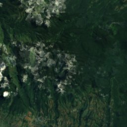
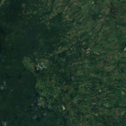
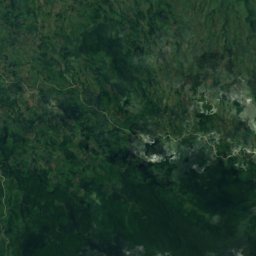
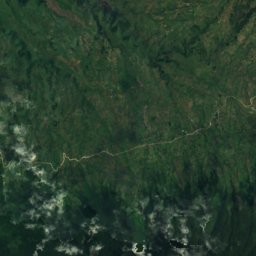
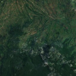
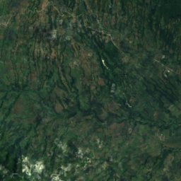
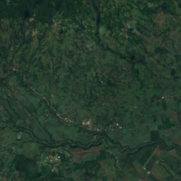
Satellite: Sentinel-2 cloudless 2016 by EOX IT Services GmbH · CC BY 4.0 · Contains modified Copernicus Sentinel data 2016
Basak
Northern Mindanao · 10 km SW
24°Oct high
28wet days
51score
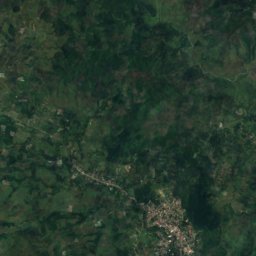
Around here
Kibangay and around
Nature

Satellite: Sentinel-2 cloudless 2016 by EOX IT Services GmbH · CC BY 4.0 · Contains modified Copernicus Sentinel data 2016
Rungkunan National Park
National park
Satellite: Sentinel-2 cloudless 2016 by EOX IT Services GmbH · CC BY 4.0 · Contains modified Copernicus Sentinel data 2016
Lake Napalit
Lake
Mountains
Satellite: Sentinel-2 cloudless 2016 by EOX IT Services GmbH · CC BY 4.0 · Contains modified Copernicus Sentinel data 2016
Mount Kitanglad
2,899 m · Kitanglad Mountain Range
Satellite: Sentinel-2 cloudless 2016 by EOX IT Services GmbH · CC BY 4.0 · Contains modified Copernicus Sentinel data 2016
Pudung Peaks
1,243 m
Heritage

















Satellite: Sentinel-2 cloudless 2016 by EOX IT Services GmbH · CC BY 4.0 · Contains modified Copernicus Sentinel data 2016
Kitanglad Mountain Range
ASEAN Heritage Park · 2004