

Photo: Avi1111 dr. avishai teicher · CC BY-SA 3.0 · Wikimedia Commons
Mitzpe ShelegimReport this photo · linked, not stored
Mitzpe ShelegimMitzpe ShelegimReport this photo · linked, not stored

Photo: Avi1111 dr. avishai teicher · CC BY 3.0 · Wikimedia Commons
Hermonit MountainReport this photo · linked, not stored
Hermonit MountainHermonit MountainReport this photo · linked, not stored

Photo: Scarlight · Public domain · Wikimedia Commons
mount AvitalReport this photo · linked, not stored
mount Avitalmount AvitalReport this photo · linked, not stored
Israeli Volcanic Ridge · Northern District · IsraelSummit weather, forecast and climate
Mount Odem
Volcano1,187 m
Elevation1,187 mabove sea level
Prominence–independent height
Isolation3.3 kmto a higher summit
Summit, Jul29°average high
33.20° N, 35.76° EElevation 1,187 mUTC+3
From the valley to the top
- Summit1,187 m
- Mid-mountain980 m
- Valley · ‘Ein Qunīya766 m
Freezing level in October: above the summit
iThe mountain
Mount Odem in brief
Mount Odem rises to 1,187 m in the Israeli Volcanic Ridge, Northern District, Israel.
At the summit, August is the mildest month with average highs of 29°, while nights rarely fall below freezing.
The nearest town in the atlas is Buq‘ātā, 2.3 km to the E at 1,088 m.
Facts
- Elevation
- 1,187 m · 3,894 ft
- Range
- Israeli Volcanic Ridge
- Region
- Northern District
- Country
- Israel
- Coordinates
- 33.1965, 35.7555
- Nearest airport
- Beirut Rafic Hariri International Airport (BEY) · 74 km
iiForecast
Weather at three heights
Temperatures are adjusted to each height; summits are usually colder and windier than the valley forecast suggests.
Loading the latest forecast…
Loading the latest forecast…
Loading the latest forecast…
iiiSummit climate
The top of Mount Odem by month
Summit temperatures and precipitation
Climate normals for the summit area (~1 km grid), station-adjusted| Month | Jan | Feb | Mar | Apr | May | Jun | Jul | Aug | Sep | Oct | Nov | Dec |
|---|---|---|---|---|---|---|---|---|---|---|---|---|
| Average high | 9° | 10° | 13° | 18° | 23° | 26° | 29° | 29° | 27° | 23° | 16° | 11° |
| Average low | 2° | 2° | 4° | 8° | 11° | 14° | 15° | 16° | 15° | 13° | 8° | 4° |
| Precipitation | 229 mm | 187 mm | 120 mm | 42 mm | 13 mm | 3 mm | 1 mm | 1 mm | 4 mm | 36 mm | 116 mm | 176 mm |
| Cloud cover | 42% | 41% | 36% | 28% | 17% | 6% | 6% | 9% | 10% | 18% | 28% | 38% |
| Daylight | 10h 11 | 11h 00 | 11h 56 | 12h 59 | 13h 52 | 14h 20 | 14h 09 | 13h 24 | 12h 24 | 11h 24 | 10h 28 | 9h 58 |
| Month score | 20 | 20 | 39 | 88 | 96 | 93 | 85 | 84 | 91 | 90 | 58 | 25 |
Snow and freezing level
Average height of the 0 °C level from the summit normals (6.5 °C per km); snow months have a summit mean at or below +1 °C| Month | Jan | Feb | Mar | Apr | May | Jun | Jul | Aug | Sep | Oct | Nov | Dec |
|---|---|---|---|---|---|---|---|---|---|---|---|---|
| Freezing level | 1,950 m | 2,100 m | 2,550 m | 3,150 m | 3,800 m | 4,250 m | 4,550 m | 4,600 m | 4,350 m | 3,900 m | 3,000 m | 2,300 m |
| Summit | above 0 °C | above 0 °C | above 0 °C | above 0 °C | above 0 °C | above 0 °C | above 0 °C | above 0 °C | above 0 °C | above 0 °C | above 0 °C | above 0 °C |
ivTerrain
Mount Odem in 3D
vNeighbours
Mountains of IsraelPeaks nearby
| Mountain | Elevation | Prominence | Distance | July summit high |
|---|---|---|---|---|
| Mount Si'on | 2,381 m | – | 17 km N | 22° |
| Mount Duvdevan | 2,236 m | – | 14 km N | 23° |
| Mitzpe Shelegim | 2,224 m | – | 14 km N | 24° |
| Mount Shaked | 2,012 m | – | 14 km N | 24° |
| mount Havusheet | 1,955 m | – | 12 km N | 25° |
| Mount Shezif | 1,541 m | – | 10 km N | 27° |
| Hermonit Mountain | 1,211 m | – | 3.8 km E | 29° |
| mount Avital | 1,204 m | – | 9.6 km S | 29° |
viBase towns
Where to stay nearby
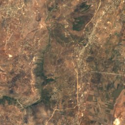
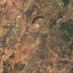
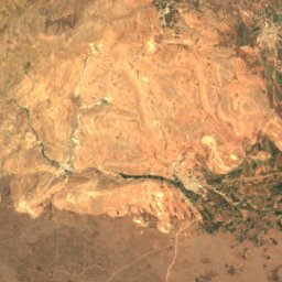
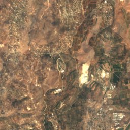
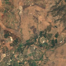
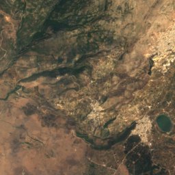
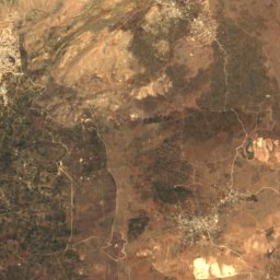
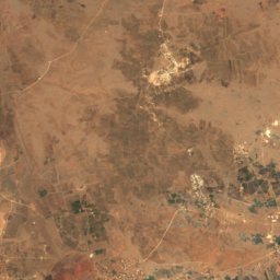
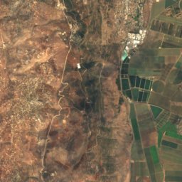
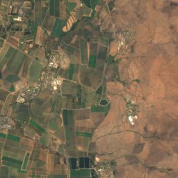
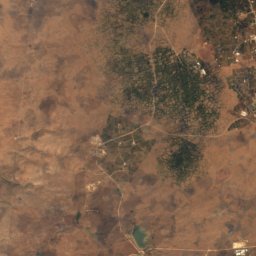
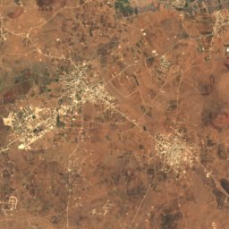
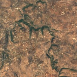
Satellite: Sentinel-2 cloudless 2016 by EOX IT Services GmbH · CC BY 4.0 · Contains modified Copernicus Sentinel data 2016
Buq‘ātā
Quneitra · 2.3 km E
23°Oct high
3wet days
92score
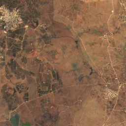
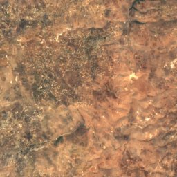
Satellite: Sentinel-2 cloudless 2016 by EOX IT Services GmbH · CC BY 4.0 · Contains modified Copernicus Sentinel data 2016
‘Ein Qunīya
Northern District · 5.1 km NW
26°Oct high
3wet days
87score

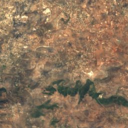
Around here
‘Ein Qunīya and around
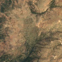
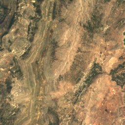
Satellite: Sentinel-2 cloudless 2016 by EOX IT Services GmbH · CC BY 4.0 · Contains modified Copernicus Sentinel data 2016
‘Ein Qunīya
Northern District · Israel
Apr–May · Octbest months
31°July high
766 maltitude
Nature


Mountains
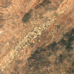
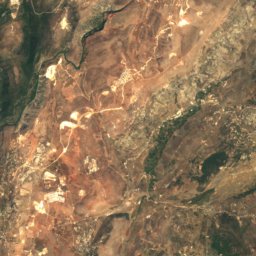
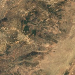
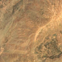
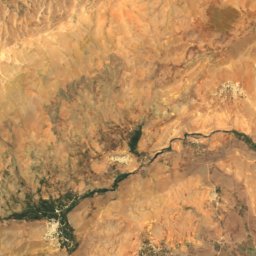
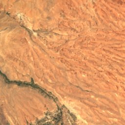
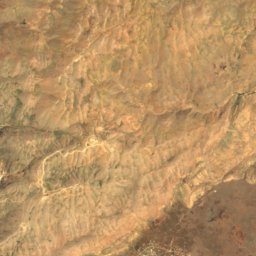
Satellite: Sentinel-2 cloudless 2016 by EOX IT Services GmbH · CC BY 4.0 · Contains modified Copernicus Sentinel data 2016
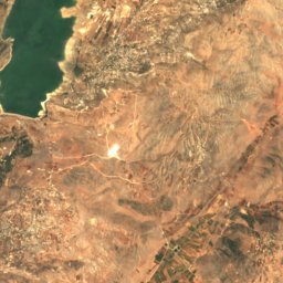
Mount Hermon Summit
2,814 m · Mount Hermon
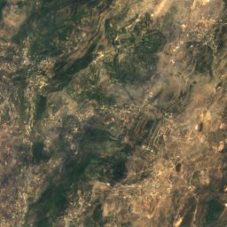
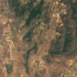
Satellite: Sentinel-2 cloudless 2016 by EOX IT Services GmbH · CC BY 4.0 · Contains modified Copernicus Sentinel data 2016
Mount Si'on
2,381 m · Mount Hermon
Satellite: Sentinel-2 cloudless 2016 by EOX IT Services GmbH · CC BY 4.0 · Contains modified Copernicus Sentinel data 2016
Mount Duvdevan
2,236 m · Mount Hermon
Heritage



Museums

Satellite: Sentinel-2 cloudless 2016 by EOX IT Services GmbH · CC BY 4.0 · Contains modified Copernicus Sentinel data 2016
The Prehistoric Man Museum
1954


The Open Museum of Photography, Tel-Hai
Open-air museum