
Photo: Zehnfinger · CC BY-SA 2.0 de · Wikimedia Commons
Dan RiverReport this photo · linked, not stored
Dan RiverReport this photo · linked, not stored

Photo: Berthold Werner · Public domain · Wikimedia Commons
Banyas waterfallReport this photo · linked, not stored
Banyas waterfallBanyas waterfallReport this photo · linked, not stored

Photo: Hoshvilim · CC BY-SA 4.0 · Wikimedia Commons
Hermon Stream Nature ReserveReport this photo · linked, not stored
Hermon Stream Nature ReserveHermon Stream Nature ReserveReport this photo · linked, not stored

Photo: יונץ at Hebrew Wikipedia · Public domain · Wikimedia Commons
Hurshat TalReport this photo · linked, not stored
Hurshat TalHurshat TalReport this photo · linked, not stored
 Nimrod Fortress
RiverDan, Northern District
Dan River
RiverBest Mar–Apr · Nov
Elevation–above sea level
Length20 kmsource to mouth
Nearest townDan1.0 km
33.25° N, 35.65° EUTC+3 · Israel Daylight Time
When to goDan · weather score
Best timeMar–Apr · Nov
October: high / low31° / 17°
River
Dan River in brief
Dan River is a river in Dan, Northern District, Israel — largest tributary of the Jordan river.
The nearest town in the atlas is Dan, 1.0 km to the S, where the weather is best in March, April and November.
Dan River is 20 km long.
Weather nearby now
Forecast for Dan26°
Partly cloudy now
Today
22 Oct
32°
20°
Fri
23 Oct
33°
20°
Sat
24 Oct
33°
21°
Sun
25 Oct
30°
21°
Mon
26 Oct
31°
21°
Model run 00:00 UTCRefreshed several times a day
The course of the river
As mapped in OpenStreetMap, with the towns of the atlas along its banks.- 1Dafna148 m
- 2Dan174 m
- 3She'ar Yashuv142 m
- 4HaGoshrim109 m
- 5Beit Hillel89 m
- 6Kfar Szold94 m
- 7Amir81 m
- 8Sde Neẖemya76 m
sourcemouth (or where the mapped line leaves the country)
When to go
Climate of DanThe best months around Dan River
Month score in Dan
Comfort, dry days and sunshine · out of 10065
Jan
76
Feb
84
Mar
86
Apr
73
May
66
Jun
58
Jul
58
Aug
61
Sep
67
Oct
85
Nov
77
Dec
Map
Dan River from above
Nature nearbyAll of Israel


Photo: יונץ at Hebrew Wikipedia · Public domain · Wikimedia CommonsReport this photo · linked, not stored

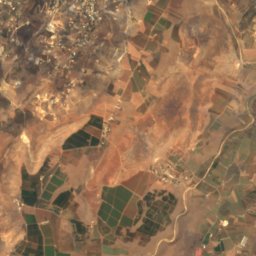
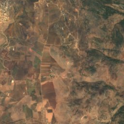
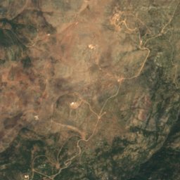
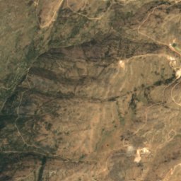
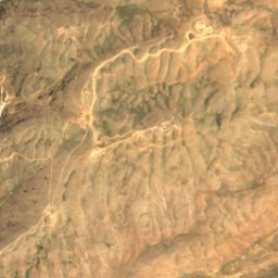
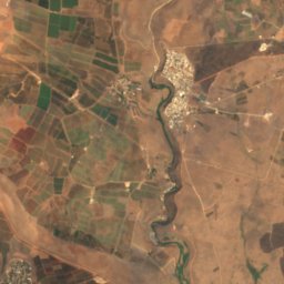
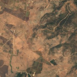
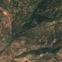
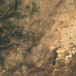
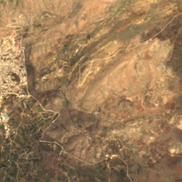
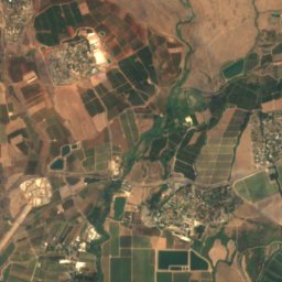
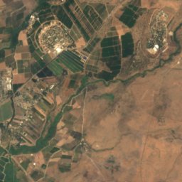
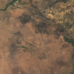
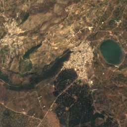
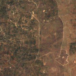
Satellite: Sentinel-2 cloudless 2016 by EOX IT Services GmbH · CC BY 4.0 · Contains modified Copernicus Sentinel data 2016
Summits nearbyMountains of Israel
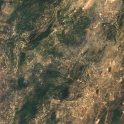
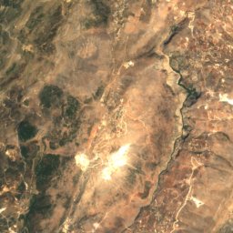
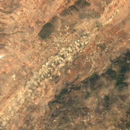
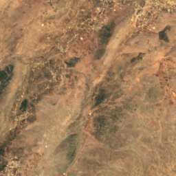
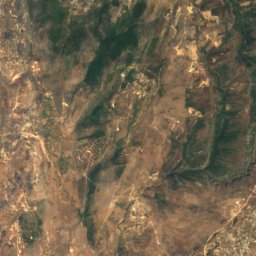
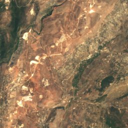
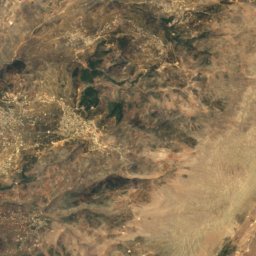
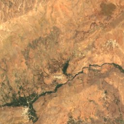
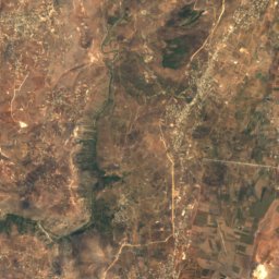
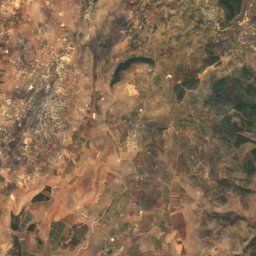
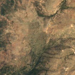
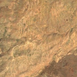
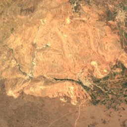
Satellite: Sentinel-2 cloudless 2016 by EOX IT Services GmbH · CC BY 4.0 · Contains modified Copernicus Sentinel data 2016
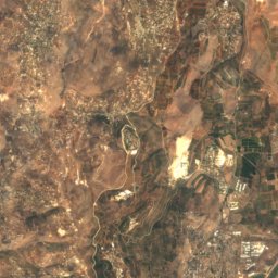
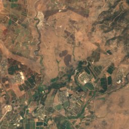
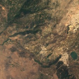
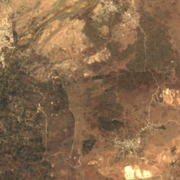
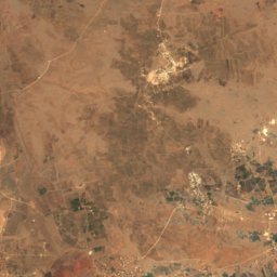
Satellite: Sentinel-2 cloudless 2016 by EOX IT Services GmbH · CC BY 4.0 · Contains modified Copernicus Sentinel data 2016

Photo: Avi1111 dr. avishai teicher · CC BY-SA 3.0 · Wikimedia CommonsReport this photo · linked, not stored
Satellite: Sentinel-2 cloudless 2016 by EOX IT Services GmbH · CC BY 4.0 · Contains modified Copernicus Sentinel data 2016
Satellite: Sentinel-2 cloudless 2016 by EOX IT Services GmbH · CC BY 4.0 · Contains modified Copernicus Sentinel data 2016
Satellite: Sentinel-2 cloudless 2016 by EOX IT Services GmbH · CC BY 4.0 · Contains modified Copernicus Sentinel data 2016
Stay nearby
Towns close by


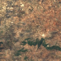
Around here
Dan and around
Nature

Mountains
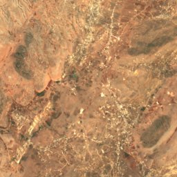
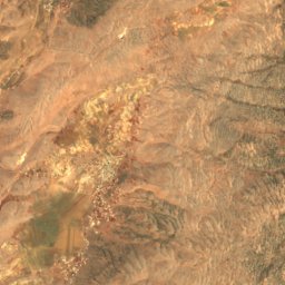
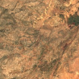
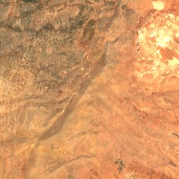
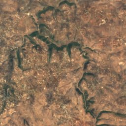
Satellite: Sentinel-2 cloudless 2016 by EOX IT Services GmbH · CC BY 4.0 · Contains modified Copernicus Sentinel data 2016
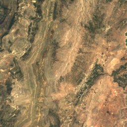
Mount Hermon Summit
2,814 m · Mount Hermon
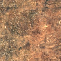
Satellite: Sentinel-2 cloudless 2016 by EOX IT Services GmbH · CC BY 4.0 · Contains modified Copernicus Sentinel data 2016
Mount Si'on
2,381 m · Mount Hermon
Satellite: Sentinel-2 cloudless 2016 by EOX IT Services GmbH · CC BY 4.0 · Contains modified Copernicus Sentinel data 2016
Mount Duvdevan
2,236 m · Mount Hermon
Heritage

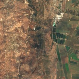
Satellite: Sentinel-2 cloudless 2016 by EOX IT Services GmbH · CC BY 4.0 · Contains modified Copernicus Sentinel data 2016
Dan
Tentative World Heritage Site · 4500 BC


Museums




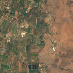
Satellite: Sentinel-2 cloudless 2016 by EOX IT Services GmbH · CC BY 4.0 · Contains modified Copernicus Sentinel data 2016
The Prehistoric Man Museum
1954


The Open Museum of Photography, Tel-Hai
Open-air museum