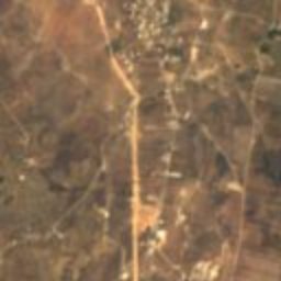




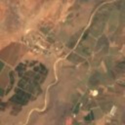

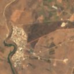



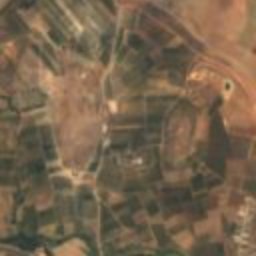

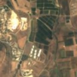
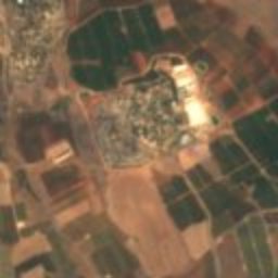



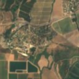
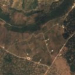
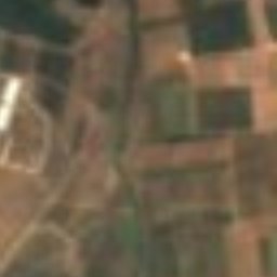
Satellite: Sentinel-2 cloudless 2016 by EOX IT Services GmbH · CC BY 4.0 · Contains modified Copernicus Sentinel data 2016
archaeological siteDan, Northern District
Dan
Tentative World Heritage SiteBuilt 4500 BC
Typearchaeological site
Built4500 BC
Best monthsMar–Apr · Novweather in Dan
33.25° N, 35.65° EUTC+2 · Israel Standard Time
Standing for6,526 years
built 4500 BCtoday 2026
When to goDan · weather score
Best timeMar–Apr · Nov
October: high / low31° / 17°
iAbout
Dan in brief
Dan is an archaeological site in Dan, Northern District, Israel.
It holds the designation Tentative World Heritage Site.
The archaeological site dates from 4500 bc.
For a visit, the weather in Dan is best in March, April and November; in October afternoons average 31°.
Facts
- Type
- archaeological site
- Designation
- Tentative World Heritage Site
- Built
- 4500 BC
- Nearest town
- Dan
- Region
- Northern District
- Coordinates
- 33.24900, 35.65200
iiLocation
Where to find it
iiiWhen to visit
Climate guideWeather in Dan
Month score for sightseeing
Best Mar–Apr · Nov65
Jan
76
Feb
84
Mar
86
Apr
73
May
66
Jun
58
Jul
58
Aug
61
Sep
67
Oct
85
Nov
77
Dec
Around here
Dan and around

Nature


Mountains
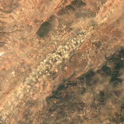
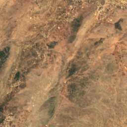
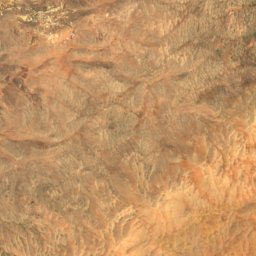
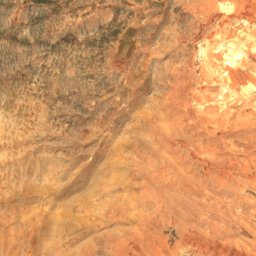
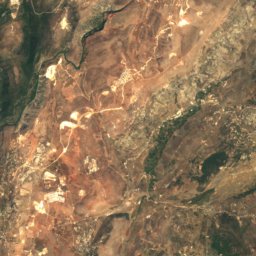
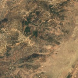
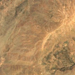
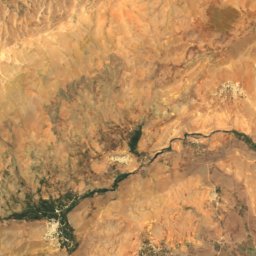
Satellite: Sentinel-2 cloudless 2016 by EOX IT Services GmbH · CC BY 4.0 · Contains modified Copernicus Sentinel data 2016
Mount Hermon Summit
2,814 m · Mount Hermon
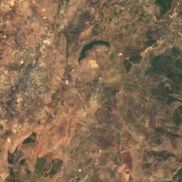
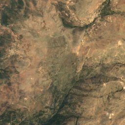
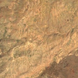
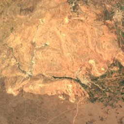
Satellite: Sentinel-2 cloudless 2016 by EOX IT Services GmbH · CC BY 4.0 · Contains modified Copernicus Sentinel data 2016
Mount Si'on
2,381 m · Mount Hermon
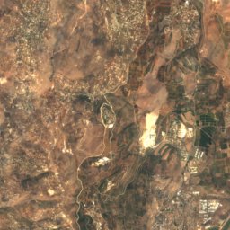
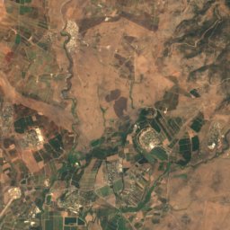
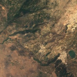
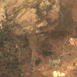
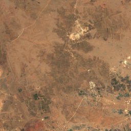
Satellite: Sentinel-2 cloudless 2016 by EOX IT Services GmbH · CC BY 4.0 · Contains modified Copernicus Sentinel data 2016
Mount Duvdevan
2,236 m · Mount Hermon
Heritage






Museums






Satellite: Sentinel-2 cloudless 2016 by EOX IT Services GmbH · CC BY 4.0 · Contains modified Copernicus Sentinel data 2016
The Prehistoric Man Museum
1954


The Open Museum of Photography, Tel-Hai
Open-air museum