


Uganda
Eastern Region
Eastern Region is one of the 4 regions of Uganda; its largest place is Jinja.
Best timeJan–Feb · Dec
Best weather in OctoberKapchorwa 61
October: highs24° – 27°
Rain this month, on average180mm
Mean of its 12 best-known places. Best: Jan–Feb · Dec.
Eastern Region at a glance
The atlas follows 4,081 places here month by month, with 5 mountains and 4 monuments; across the most visited of them, the best months are January, February and December.
When to go to Eastern Region
The best places of every month here, and the average climate of the best-known ones.
| Jan | Feb | Mar | Apr | May | Jun | Jul | Aug | Sep | Oct | Nov | Dec | |
|---|---|---|---|---|---|---|---|---|---|---|---|---|
| Score | 69 | 67 | 51 | 50 | 55 | 61 | 61 | 60 | 58 | 53 | 54 | 62 |
| High | 27° | 28° | 27° | 26° | 25° | 25° | 25° | 25° | 26° | 26° | 25° | 26° |
| Low | 17° | 18° | 18° | 18° | 18° | 17° | 17° | 17° | 17° | 17° | 17° | 17° |
| Rain (mm) | 72 | 74 | 145 | 234 | 204 | 113 | 103 | 128 | 141 | 180 | 181 | 90 |
Places in Eastern Region
The best-known places with their score this month; every town and village is in the A to Z list below.
 54October
Jinja
279k people
25° / 19°133 mm
56OctoberMbale
586k people
26° / 18°295 mm
52OctoberTororo
49k people
26° / 17°182 mm
52OctoberBusia
65k people
26° / 17°188 mm
61October
Kapchorwa
51k people
24° / 15°290 mm
52October
Bugembe
46k people
24° / 18°137 mm
49October
Butaleja
24k people
27° / 18°163 mm
53October
Kakira
36k people
25° / 19°134 mm
34 districts, each with all of its towns and villages
Amuria District132 places · Ogangai
Budaka District36 places · Kamonkoli
Bududa District36 places · Bududa
Bugiri District85 places · Nakivamba
Bukedea District25 places · Bukedea
Bukwo District13 places · Bukwa
Bulambuli District20 places · Tabagonyi

Busia District250 places · 65k · Busia
Butaleja District164 places · 41k · Butaleja
Butebo District7 places · Opwateta
Buyende District73 places · Galiraya
Iganga District236 places · 114k · Iganga

Jinja District186 places · 385k · Jinja
Kaberamaido District145 places · Kaberamaido
Kaliro District117 places · 21k · Kaliro
Kamuli District427 places · 68k · Kamuli
Kapchorwa District10 places · 51k · Kapchorwa
Katakwi District77 places · Ominya
Kibuku District33 places · Tirinyi
Kumi District47 places · 44k · Kumi
Kween District12 places · Binyiny
Luuka District146 places · Luuka Town
Manafwa District287 places · 16k · Manafwa
Mayuge District290 places · 20k · Magamaga

Mbale District114 places · 586k · Mbale
Namayingo District224 places · 53k · Bugiri
Namisindwa District18 places · Situi

Namutumba District144 places · Bulange
Ngora District35 places · Kaleri
Pallisa District27 places · Supa
Serere District98 places · Bugondo
Sironko District21 places · Bulambuli
Soroti District140 places · Otatai

Tororo District406 places · 84k · Tororo
Eastern Region from above
Every place scored for the month you pick: comfortable temperatures, dry days and clear skies.
OctoberMonth scores for Eastern Region
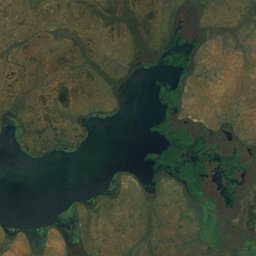
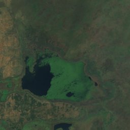
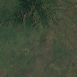
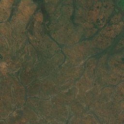
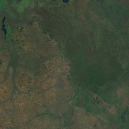
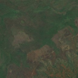
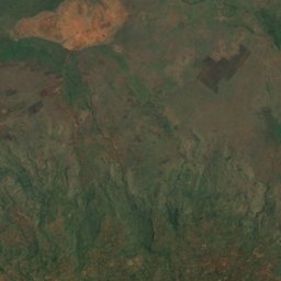
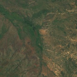
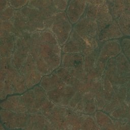
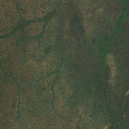
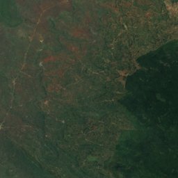
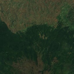
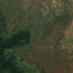
Satellite: Sentinel-2 cloudless 2016 by EOX IT Services GmbH · CC BY 4.0 · Contains modified Copernicus Sentinel data 2016
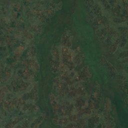
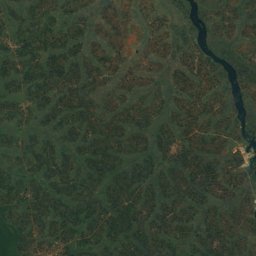
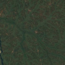
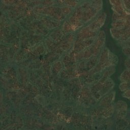
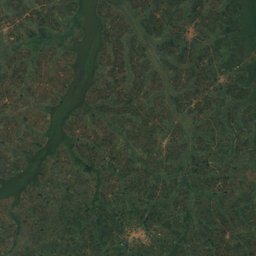
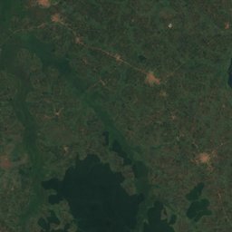
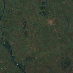
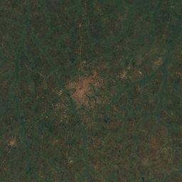
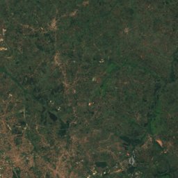
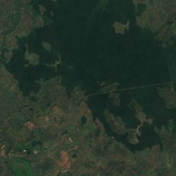
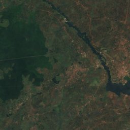
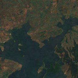
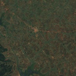
Satellite: Sentinel-2 cloudless 2016 by EOX IT Services GmbH · CC BY 4.0 · Contains modified Copernicus Sentinel data 2016
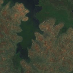
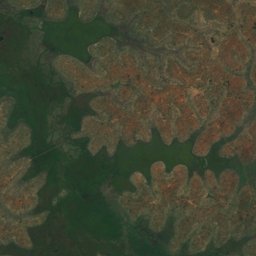


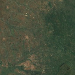
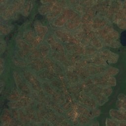
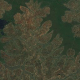
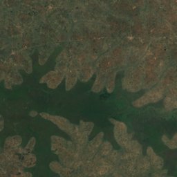
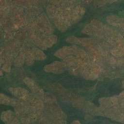
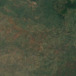
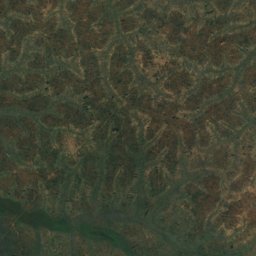
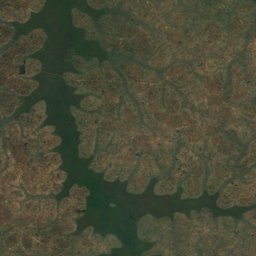
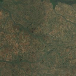
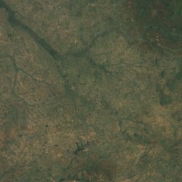
Satellite: Sentinel-2 cloudless 2016 by EOX IT Services GmbH · CC BY 4.0 · Contains modified Copernicus Sentinel data 2016
Satellite: Sentinel-2 cloudless 2016 by EOX IT Services GmbH · CC BY 4.0 · Contains modified Copernicus Sentinel data 2016
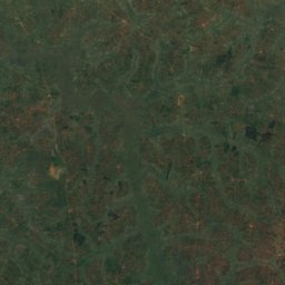
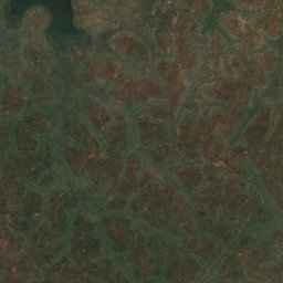
Satellite: Sentinel-2 cloudless 2016 by EOX IT Services GmbH · CC BY 4.0 · Contains modified Copernicus Sentinel data 2016
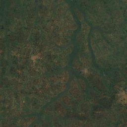
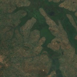
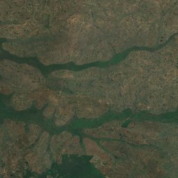
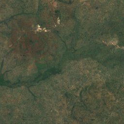
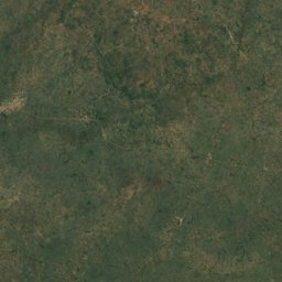
Satellite: Sentinel-2 cloudless 2016 by EOX IT Services GmbH · CC BY 4.0 · Contains modified Copernicus Sentinel data 2016
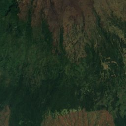
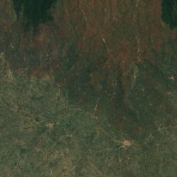
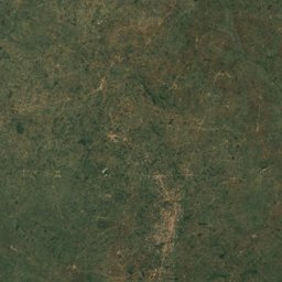
Satellite: Sentinel-2 cloudless 2016 by EOX IT Services GmbH · CC BY 4.0 · Contains modified Copernicus Sentinel data 2016
Nature in Eastern Region

Summit4,321 m
Mount Elgon
Summit1,483 m
Tororo Rock
Waterfall
Sipi Falls
River
River Manafwa
Waterfall
Sisiyi FallsWildlife in October
The birds and mammals of Uganda seen most this month, compared with the rest of their year.


Outdoors in Eastern Region
Culture in Eastern Region


What's on in Eastern Region
Getting to Eastern Region
Entebbe International AirportEBB · Jinja
95 kmSoroti AirportSRT · Jinja
151 kmKisumu International AirportKIS · Jinja
179 kmJinjaJinja
1.9 kmMbaleMbale
2.1 kmMalabaTororo
12 kmTowns in Eastern Region from A to Z
The 12 main places; every village is listed on its district's page.