Skiing
Ski Areas in Germany
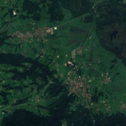
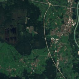
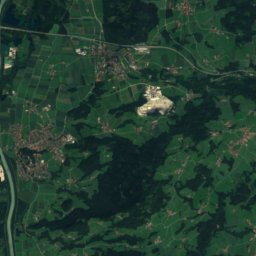
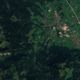
71 ski areas in Deutschland, the largest with 60 km of downhill pistes. Each has its own page with the pistes by difficulty, the lifts and the snow season at the nearest summit.
Satellite: Sentinel-2 cloudless 2016 by EOX IT Services GmbH · CC BY 4.0 · Contains modified Copernicus Sentinel data 2016
Skiliftkarussell Winterberg
Altastenberg
60 km · 31 lifts
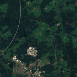
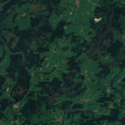
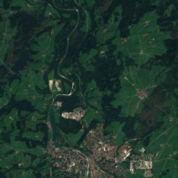
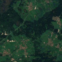
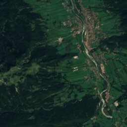
Satellite: Sentinel-2 cloudless 2016 by EOX IT Services GmbH · CC BY 4.0 · Contains modified Copernicus Sentinel data 2016
Brauneck
Lenggries
59 km · 19 lifts
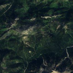
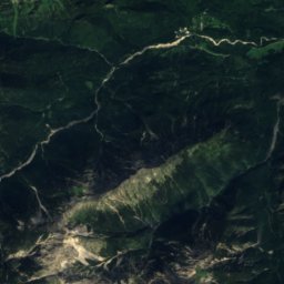
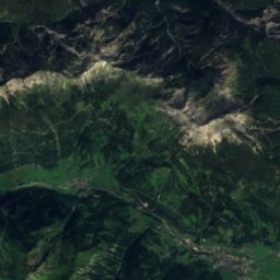
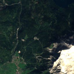
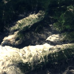
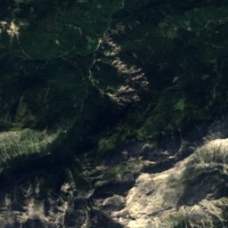
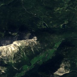
Satellite: Sentinel-2 cloudless 2016 by EOX IT Services GmbH · CC BY 4.0 · Contains modified Copernicus Sentinel data 2016
Skigebiet Garmisch-Classic
Hammersbach
46 km · 18 lifts
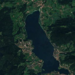
Satellite: Sentinel-2 cloudless 2016 by EOX IT Services GmbH · CC BY 4.0 · Contains modified Copernicus Sentinel data 2016
Spitzingsee-Tegernsee
Rottach-Egern
32 km · 11 lifts
Satellite: Sentinel-2 cloudless 2016 by EOX IT Services GmbH · CC BY 4.0 · Contains modified Copernicus Sentinel data 2016
Sudelfeld - Bayrischzell
Bayrischzell
29 km · 14 lifts
Satellite: Sentinel-2 cloudless 2016 by EOX IT Services GmbH · CC BY 4.0 · Contains modified Copernicus Sentinel data 2016
Balderschwang – Hochschelpen/Riedberger Horn
Balderschwang
28 km · 11 lifts
Satellite: Sentinel-2 cloudless 2016 by EOX IT Services GmbH · CC BY 4.0 · Contains modified Copernicus Sentinel data 2016
Skigebiet Oberwiesenthal
Oberwiesenthal
28 km · 15 lifts
Satellite: Sentinel-2 cloudless 2016 by EOX IT Services GmbH · CC BY 4.0 · Contains modified Copernicus Sentinel data 2016
Skigebiet Feldberg
Feldberg
26 km · 21 lifts
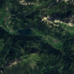
Satellite: Sentinel-2 cloudless 2016 by EOX IT Services GmbH · CC BY 4.0 · Contains modified Copernicus Sentinel data 2016
Hindelang Oberjoch
Bad Hindelang
25 km · 5 lifts
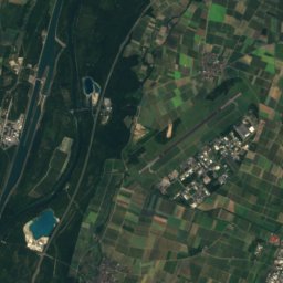
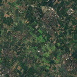
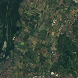
Satellite: Sentinel-2 cloudless 2016 by EOX IT Services GmbH · CC BY 4.0 · Contains modified Copernicus Sentinel data 2016
Skigebiet Münstertal-Wieden
Wieden
23 km · 5 lifts
Satellite: Sentinel-2 cloudless 2016 by EOX IT Services GmbH · CC BY 4.0 · Contains modified Copernicus Sentinel data 2016
Hinterstaufen
Oberstaufen
18 km · 8 lifts
Satellite: Sentinel-2 cloudless 2016 by EOX IT Services GmbH · CC BY 4.0 · Contains modified Copernicus Sentinel data 2016
Ofterschwang/Gunzesried
Ofterschwang
16 km · 7 lifts
Satellite: Sentinel-2 cloudless 2016 by EOX IT Services GmbH · CC BY 4.0 · Contains modified Copernicus Sentinel data 2016
Hörnerbahn Bolsterlang
Bolsterlang
13 km · 6 lifts
Satellite: Sentinel-2 cloudless 2016 by EOX IT Services GmbH · CC BY 4.0 · Contains modified Copernicus Sentinel data 2016
Wintersportgebiet Wurmberg
Braunlage
13 km · 6 lifts
Satellite: Sentinel-2 cloudless 2016 by EOX IT Services GmbH · CC BY 4.0 · Contains modified Copernicus Sentinel data 2016
Großer Arber
Bayerisch Eisenstein
11 km · 10 lifts
Satellite: Sentinel-2 cloudless 2016 by EOX IT Services GmbH · CC BY 4.0 · Contains modified Copernicus Sentinel data 2016
Nesselwang - Alpspitzbahnen
Nesselwang
7.9 km · 8 lifts
Satellite: Sentinel-2 cloudless 2016 by EOX IT Services GmbH · CC BY 4.0 · Contains modified Copernicus Sentinel data 2016
Immenstadt
Immenstadt im Allgäu
7.2 km · 2 lifts
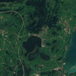
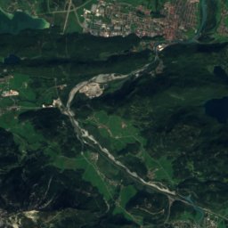
Satellite: Sentinel-2 cloudless 2016 by EOX IT Services GmbH · CC BY 4.0 · Contains modified Copernicus Sentinel data 2016
Skizentrum Pfronten
Pfronten
6.6 km · 7 lifts
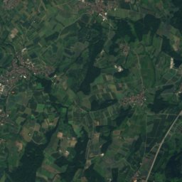
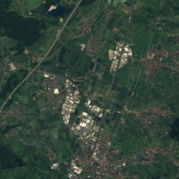
Satellite: Sentinel-2 cloudless 2016 by EOX IT Services GmbH · CC BY 4.0 · Contains modified Copernicus Sentinel data 2016
Skigebiet Mehliskopf
Bühlertal
6.0 km · 5 lifts
Satellite: Sentinel-2 cloudless 2016 by EOX IT Services GmbH · CC BY 4.0 · Contains modified Copernicus Sentinel data 2016
Hohenbogen
Neukirchen beim Heiligen Blut
6.0 km · 2 lifts
Satellite: Sentinel-2 cloudless 2016 by EOX IT Services GmbH · CC BY 4.0 · Contains modified Copernicus Sentinel data 2016
Buron
Wertach
5.6 km · 2 lifts
Satellite: Sentinel-2 cloudless 2016 by EOX IT Services GmbH · CC BY 4.0 · Contains modified Copernicus Sentinel data 2016
Mitterdorf
Philippsreut
5.2 km · 8 lifts
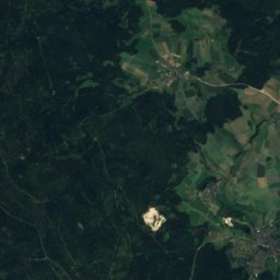
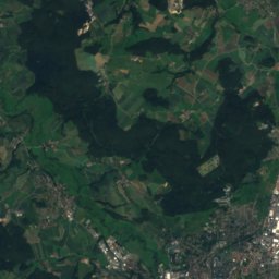
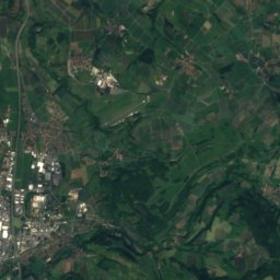
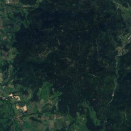
Satellite: Sentinel-2 cloudless 2016 by EOX IT Services GmbH · CC BY 4.0 · Contains modified Copernicus Sentinel data 2016
Skigebiet Ochsenkopf
Bischofsgrün
4.2 km · 7 lifts
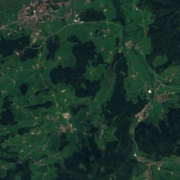
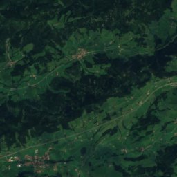
Satellite: Sentinel-2 cloudless 2016 by EOX IT Services GmbH · CC BY 4.0 · Contains modified Copernicus Sentinel data 2016
Skilifte Thaler Höhe
Missen-Wilhams
4.2 km · 4 lifts
All 71 ski areas, A–Z
- Balderschwang – Hochschelpen/Riedberger Horn
- Brauneck
- Buron
- DSV Nordic Aktivzentrum Althütte
- Eckbauer
- Ellegglifte – Faistenoy
- Gohrersberg – Kreuzthal
- Großer Arber
- Herrnberg
- Hesselbacher Gletscher
- Hindelang Oberjoch
- Hinterstaufen
- Hochfelln
- Hohenbogen
- Hörnerbahn Bolsterlang
- Hundseck
- Iberg
- Immenstadt
- Isny / Felderhalde
- Kalte Herberge
- Kirchberglift am Fröbelturm
- Mitterdorf
- Monte Kubota
- Nachwuchsförderzentrum "Reithlift"
- Nesselwang - Alpspitzbahnen
- Ofterschwang/Gunzesried
- Rahmensteinhang
- Sandskigebiet Monte Kaolino
- Schlossberg
- Ski Elstra
- Ski und Snowboardzentrum Fahrenberg
- Skiabfahrt Grainet
- Skiabfahrt Nordhalben
- Skiarena Hahnenbecke
- Skigebiet / Rodelgebiet Laubendorf
- Skigebiet Feldberg
- Skigebiet Garmisch-Classic
- Skigebiet Hofeck
- Skigebiet Mehliskopf
- Skigebiet Mühlwiese
- Skigebiet Münstertal-Wieden
- Skigebiet Oberwiesenthal
- Skigebiet Ochsenkopf
- Skigebiet Spitzenberg und Köpfle
- Skihang am Poppenberg in Brilon
- Skihang Dautphetal-Holzhausen
- Skihang Großbüchelberg
- Skihang Tüppel
- Skilift Altenberg
- Skilift am Rotterhang
- Skilift Beuerberg
- Skilift Burgbernheim
- Skilift Deesbach
- Skilift Erzgebirge Skiclub Olbernhau
- Skilift Kapellenberg
- Skilift Riedlberg
- Skilift Wurmstein
- Skilifte Geiersberg
- Skilifte Thaler Höhe
- Skiliftkarussell Winterberg
- Skiverein Sehmatal e.V. Skilift Neudorf
- Skizentrum Pfronten
- Skizentrum Tännicht Sohland
- Sonnenlifte Röfleuten/Halden
- Spieserlifte
- Spitzingsee-Tegernsee
- Steckenberg
- Sudelfeld - Bayrischzell
- Sulzberg
- Wengen
- Wintersportgebiet Wurmberg