สกี
ลานสกีในเยอรมนี
ในเยอรมนีมีลานสกี 71 แห่ง แห่งที่ใหญ่ที่สุดมีเส้นทางสกี 60 km แต่ละแห่งมีหน้าของตัวเองพร้อมเส้นทางตามระดับความยาก ลิฟต์ และฤดูหิมะบนยอดเขาที่ใกล้ที่สุด
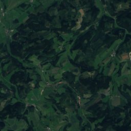
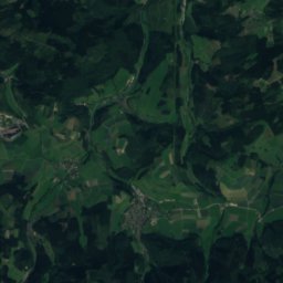
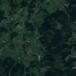
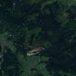
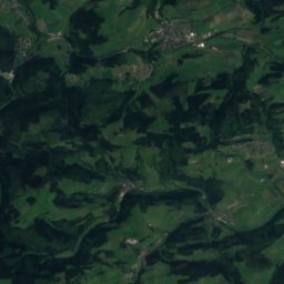
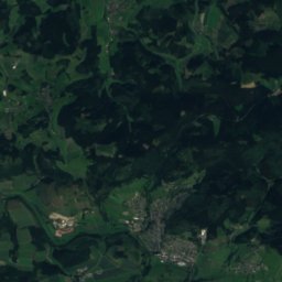
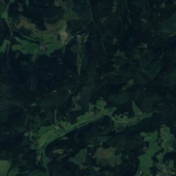
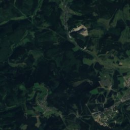
ดาวเทียม: Sentinel-2 cloudless 2016 โดย EOX IT Services GmbH · CC BY 4.0 · มีข้อมูล Copernicus Sentinel (2016) ที่ดัดแปลงแล้ว
Skiliftkarussell Winterberg
Altastenberg
60 km · 31 ลิฟต์
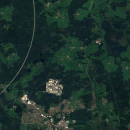
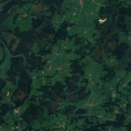
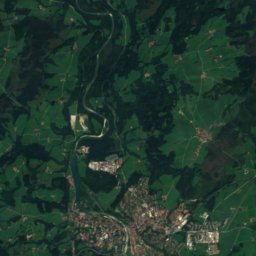
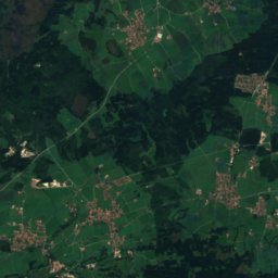
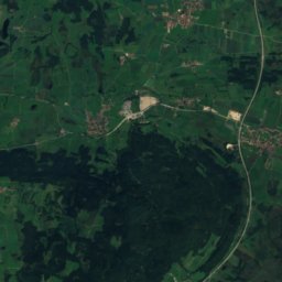
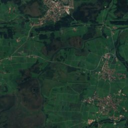
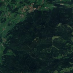
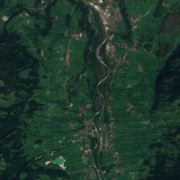
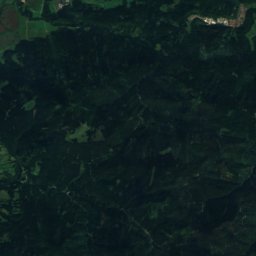
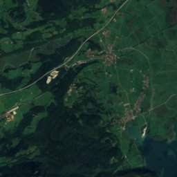
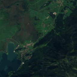
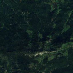
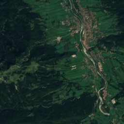
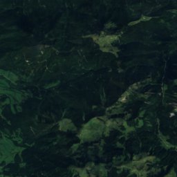
ดาวเทียม: Sentinel-2 cloudless 2016 โดย EOX IT Services GmbH · CC BY 4.0 · มีข้อมูล Copernicus Sentinel (2016) ที่ดัดแปลงแล้ว
Brauneck
Lenggries
59 km · 19 ลิฟต์
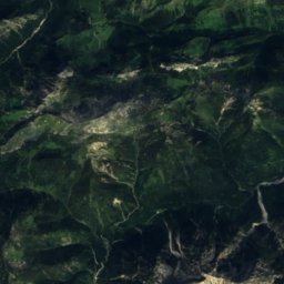
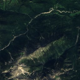
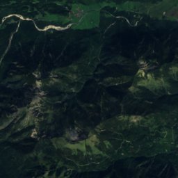
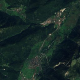
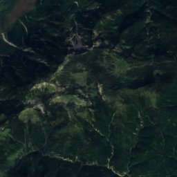
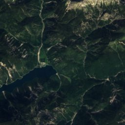
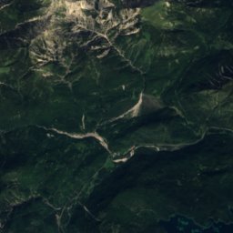
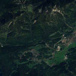
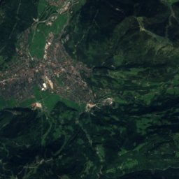
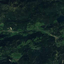
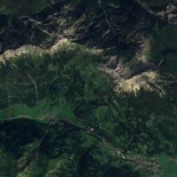
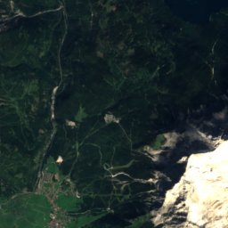
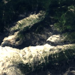
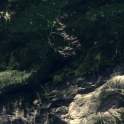
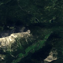
ดาวเทียม: Sentinel-2 cloudless 2016 โดย EOX IT Services GmbH · CC BY 4.0 · มีข้อมูล Copernicus Sentinel (2016) ที่ดัดแปลงแล้ว
Skigebiet Garmisch-Classic
Hammersbach
46 km · 18 ลิฟต์
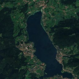
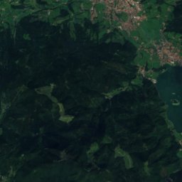
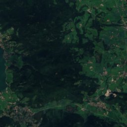
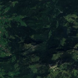
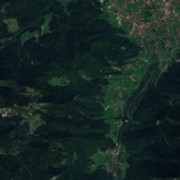
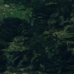
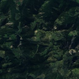
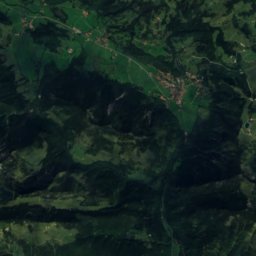
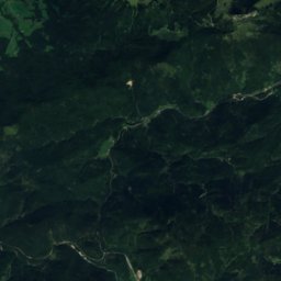
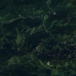
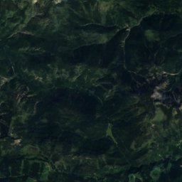
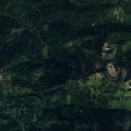
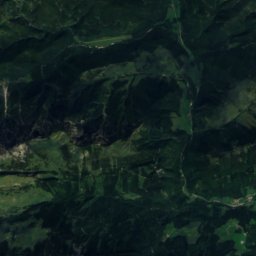
ดาวเทียม: Sentinel-2 cloudless 2016 โดย EOX IT Services GmbH · CC BY 4.0 · มีข้อมูล Copernicus Sentinel (2016) ที่ดัดแปลงแล้ว
Spitzingsee-Tegernsee
Rottach-Egern
32 km · 11 ลิฟต์
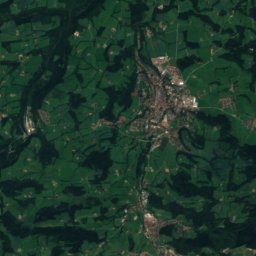
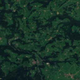
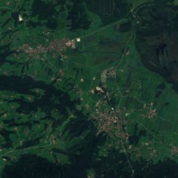
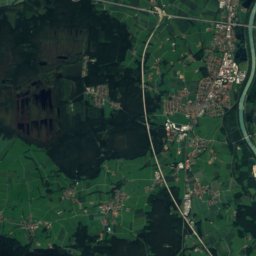
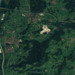
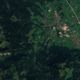
ดาวเทียม: Sentinel-2 cloudless 2016 โดย EOX IT Services GmbH · CC BY 4.0 · มีข้อมูล Copernicus Sentinel (2016) ที่ดัดแปลงแล้ว
Sudelfeld - Bayrischzell
Bayrischzell
29 km · 14 ลิฟต์
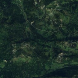
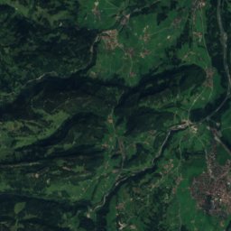
ดาวเทียม: Sentinel-2 cloudless 2016 โดย EOX IT Services GmbH · CC BY 4.0 · มีข้อมูล Copernicus Sentinel (2016) ที่ดัดแปลงแล้ว
Balderschwang – Hochschelpen/Riedberger Horn
Balderschwang
28 km · 11 ลิฟต์
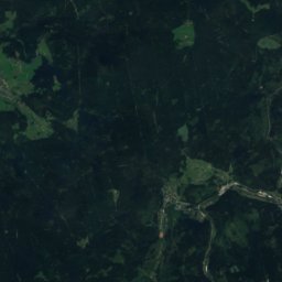
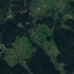
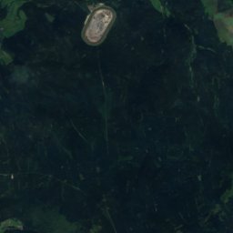
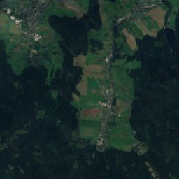
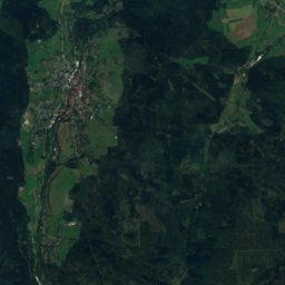
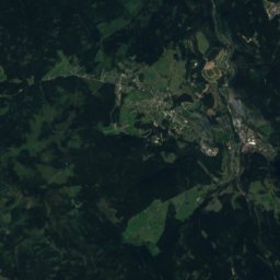
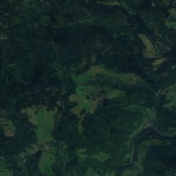
ดาวเทียม: Sentinel-2 cloudless 2016 โดย EOX IT Services GmbH · CC BY 4.0 · มีข้อมูล Copernicus Sentinel (2016) ที่ดัดแปลงแล้ว
Skigebiet Oberwiesenthal
Oberwiesenthal
28 km · 15 ลิฟต์
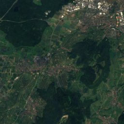
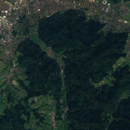
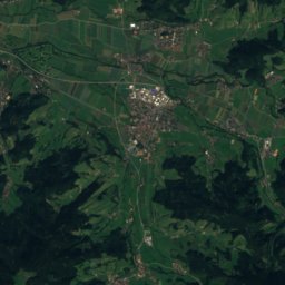
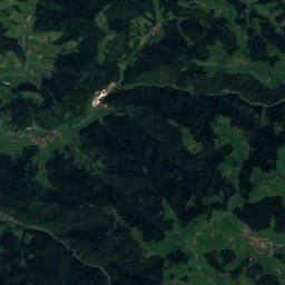
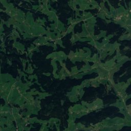
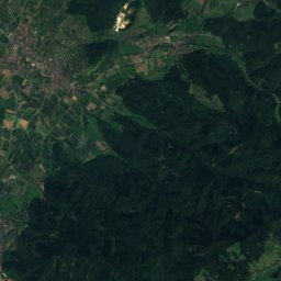
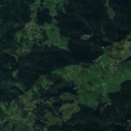
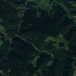
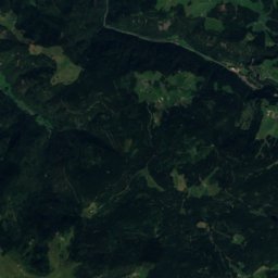
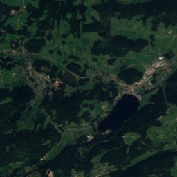
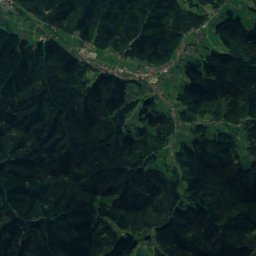
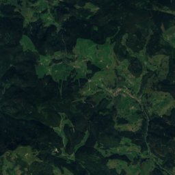
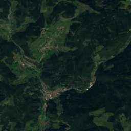
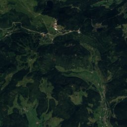
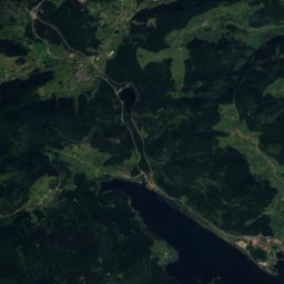
ดาวเทียม: Sentinel-2 cloudless 2016 โดย EOX IT Services GmbH · CC BY 4.0 · มีข้อมูล Copernicus Sentinel (2016) ที่ดัดแปลงแล้ว
Skigebiet Feldberg
เฟ็ลท์แบร์ค
26 km · 21 ลิฟต์
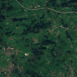
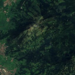
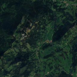
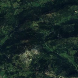
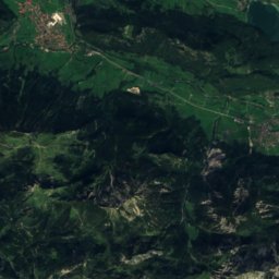
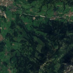
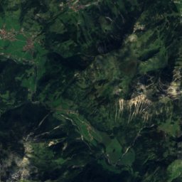
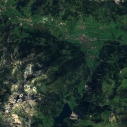
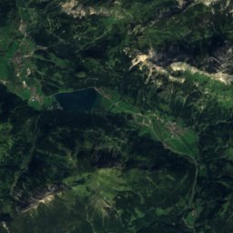
ดาวเทียม: Sentinel-2 cloudless 2016 โดย EOX IT Services GmbH · CC BY 4.0 · มีข้อมูล Copernicus Sentinel (2016) ที่ดัดแปลงแล้ว
Hindelang Oberjoch
Bad Hindelang
25 km · 5 ลิฟต์
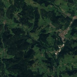
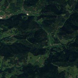
ดาวเทียม: Sentinel-2 cloudless 2016 โดย EOX IT Services GmbH · CC BY 4.0 · มีข้อมูล Copernicus Sentinel (2016) ที่ดัดแปลงแล้ว
Skigebiet Münstertal-Wieden
Wieden
23 km · 5 ลิฟต์
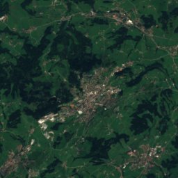
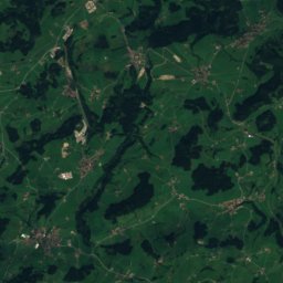
ดาวเทียม: Sentinel-2 cloudless 2016 โดย EOX IT Services GmbH · CC BY 4.0 · มีข้อมูล Copernicus Sentinel (2016) ที่ดัดแปลงแล้ว
Hinterstaufen
Oberstaufen
18 km · 8 ลิฟต์
ดาวเทียม: Sentinel-2 cloudless 2016 โดย EOX IT Services GmbH · CC BY 4.0 · มีข้อมูล Copernicus Sentinel (2016) ที่ดัดแปลงแล้ว
Ofterschwang/Gunzesried
Ofterschwang
16 km · 7 ลิฟต์
ดาวเทียม: Sentinel-2 cloudless 2016 โดย EOX IT Services GmbH · CC BY 4.0 · มีข้อมูล Copernicus Sentinel (2016) ที่ดัดแปลงแล้ว
Hörnerbahn Bolsterlang
Bolsterlang
13 km · 6 ลิฟต์
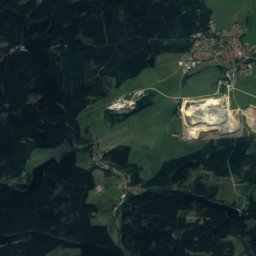
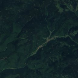
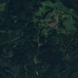
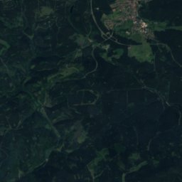
ดาวเทียม: Sentinel-2 cloudless 2016 โดย EOX IT Services GmbH · CC BY 4.0 · มีข้อมูล Copernicus Sentinel (2016) ที่ดัดแปลงแล้ว
Wintersportgebiet Wurmberg
Braunlage
13 km · 6 ลิฟต์
ดาวเทียม: Sentinel-2 cloudless 2016 โดย EOX IT Services GmbH · CC BY 4.0 · มีข้อมูล Copernicus Sentinel (2016) ที่ดัดแปลงแล้ว
Großer Arber
Bayerisch Eisenstein
11 km · 10 ลิฟต์
ดาวเทียม: Sentinel-2 cloudless 2016 โดย EOX IT Services GmbH · CC BY 4.0 · มีข้อมูล Copernicus Sentinel (2016) ที่ดัดแปลงแล้ว
Nesselwang - Alpspitzbahnen
Nesselwang
7.9 km · 8 ลิฟต์
ดาวเทียม: Sentinel-2 cloudless 2016 โดย EOX IT Services GmbH · CC BY 4.0 · มีข้อมูล Copernicus Sentinel (2016) ที่ดัดแปลงแล้ว
Immenstadt
Immenstadt im Allgäu
7.2 km · 2 ลิฟต์
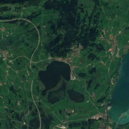
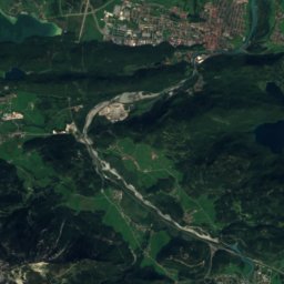
ดาวเทียม: Sentinel-2 cloudless 2016 โดย EOX IT Services GmbH · CC BY 4.0 · มีข้อมูล Copernicus Sentinel (2016) ที่ดัดแปลงแล้ว
Skizentrum Pfronten
Pfronten
6.6 km · 7 ลิฟต์
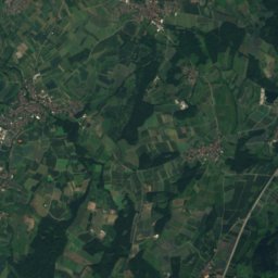
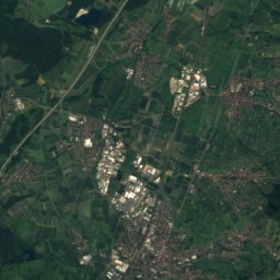
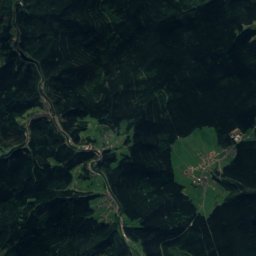
ดาวเทียม: Sentinel-2 cloudless 2016 โดย EOX IT Services GmbH · CC BY 4.0 · มีข้อมูล Copernicus Sentinel (2016) ที่ดัดแปลงแล้ว
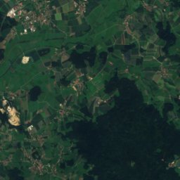
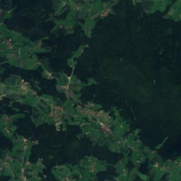
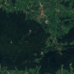
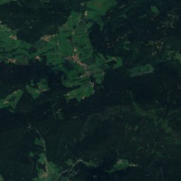
Skigebiet Mehliskopf
Bühlertal
6.0 km · 5 ลิฟต์
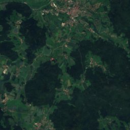
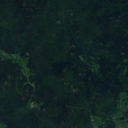
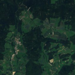
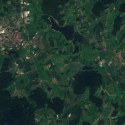
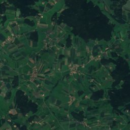
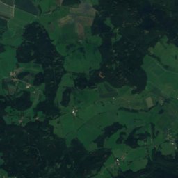
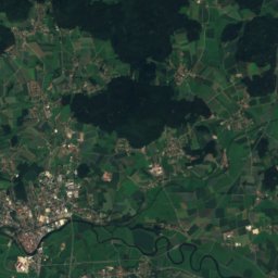
ดาวเทียม: Sentinel-2 cloudless 2016 โดย EOX IT Services GmbH · CC BY 4.0 · มีข้อมูล Copernicus Sentinel (2016) ที่ดัดแปลงแล้ว
Hohenbogen
Neukirchen beim Heiligen Blut
6.0 km · 2 ลิฟต์
ดาวเทียม: Sentinel-2 cloudless 2016 โดย EOX IT Services GmbH · CC BY 4.0 · มีข้อมูล Copernicus Sentinel (2016) ที่ดัดแปลงแล้ว
Buron
Wertach
5.6 km · 2 ลิฟต์
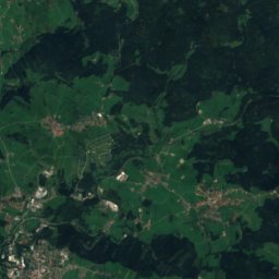
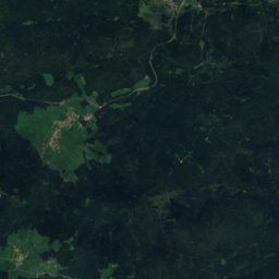
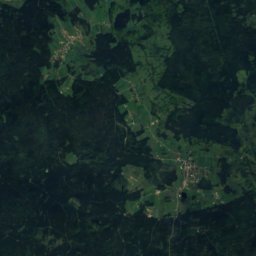
ดาวเทียม: Sentinel-2 cloudless 2016 โดย EOX IT Services GmbH · CC BY 4.0 · มีข้อมูล Copernicus Sentinel (2016) ที่ดัดแปลงแล้ว
Mitterdorf
Philippsreut
5.2 km · 8 ลิฟต์
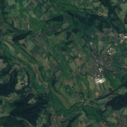
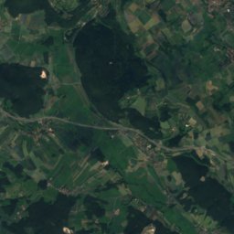
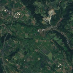
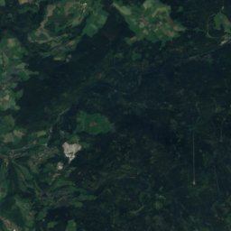
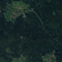
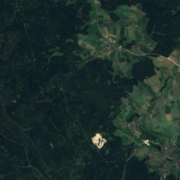
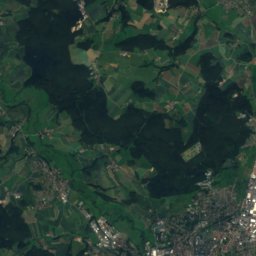
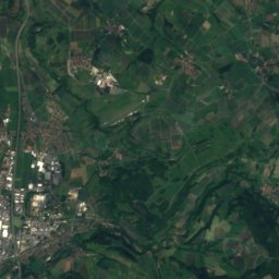
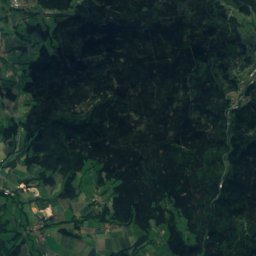
ดาวเทียม: Sentinel-2 cloudless 2016 โดย EOX IT Services GmbH · CC BY 4.0 · มีข้อมูล Copernicus Sentinel (2016) ที่ดัดแปลงแล้ว
Skigebiet Ochsenkopf
Bischofsgrün
4.2 km · 7 ลิฟต์
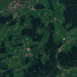
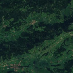
ดาวเทียม: Sentinel-2 cloudless 2016 โดย EOX IT Services GmbH · CC BY 4.0 · มีข้อมูล Copernicus Sentinel (2016) ที่ดัดแปลงแล้ว
Skilifte Thaler Höhe
Missen-Wilhams
4.2 km · 4 ลิฟต์
ลานสกีทั้งหมด 71 แห่ง A–Z
- Balderschwang – Hochschelpen/Riedberger Horn
- Brauneck
- Buron
- DSV Nordic Aktivzentrum Althütte
- Eckbauer
- Ellegglifte – Faistenoy
- Gohrersberg – Kreuzthal
- Großer Arber
- Herrnberg
- Hesselbacher Gletscher
- Hindelang Oberjoch
- Hinterstaufen
- Hochfelln
- Hohenbogen
- Hörnerbahn Bolsterlang
- Hundseck
- Iberg
- Immenstadt
- Isny / Felderhalde
- Kalte Herberge
- Kirchberglift am Fröbelturm
- Mitterdorf
- Monte Kubota
- Nachwuchsförderzentrum "Reithlift"
- Nesselwang - Alpspitzbahnen
- Ofterschwang/Gunzesried
- Rahmensteinhang
- Sandskigebiet Monte Kaolino
- Schlossberg
- Skiabfahrt Grainet
- Skiabfahrt Nordhalben
- Skiarena Hahnenbecke
- Ski Elstra
- Skigebiet Feldberg
- Skigebiet Garmisch-Classic
- Skigebiet Hofeck
- Skigebiet Mehliskopf
- Skigebiet Mühlwiese
- Skigebiet Münstertal-Wieden
- Skigebiet Oberwiesenthal
- Skigebiet Ochsenkopf
- Skigebiet / Rodelgebiet Laubendorf
- Skigebiet Spitzenberg und Köpfle
- Skihang am Poppenberg in Brilon
- Skihang Dautphetal-Holzhausen
- Skihang Großbüchelberg
- Skihang Tüppel
- Skilift Altenberg
- Skilift am Rotterhang
- Skilift Beuerberg
- Skilift Burgbernheim
- Skilift Deesbach
- Skilifte Geiersberg
- Skilift Erzgebirge Skiclub Olbernhau
- Skilifte Thaler Höhe
- Skilift Kapellenberg
- Skiliftkarussell Winterberg
- Skilift Riedlberg
- Skilift Wurmstein
- Ski und Snowboardzentrum Fahrenberg
- Skiverein Sehmatal e.V. Skilift Neudorf
- Skizentrum Pfronten
- Skizentrum Tännicht Sohland
- Sonnenlifte Röfleuten/Halden
- Spieserlifte
- Spitzingsee-Tegernsee
- Steckenberg
- Sudelfeld - Bayrischzell
- Sulzberg
- Wengen
- Wintersportgebiet Wurmberg