Nature
Waters, ice and wild places of Zimbabwe
Lakes, waterfalls, glaciers, national parks and mountain huts, each with its location, its size and the weather of the towns around it.
Lakes20with a page
Waterfalls12with a page
National parks5with a page
Mountain huts1with a page

Lakes
Lakes of Zimbabwe

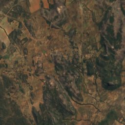
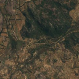
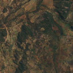
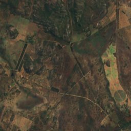
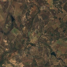
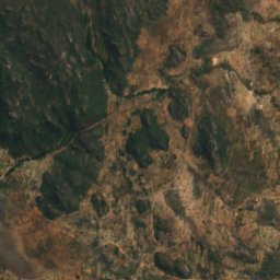
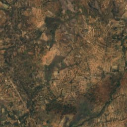
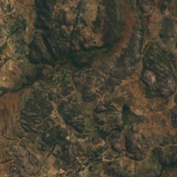
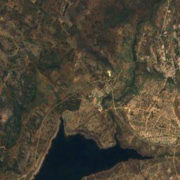
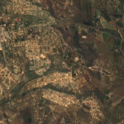
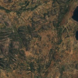
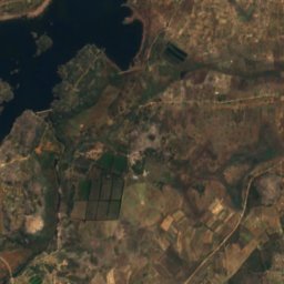
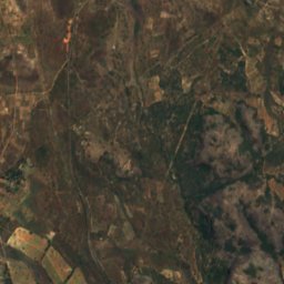
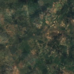
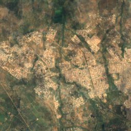
Satellite: Sentinel-2 cloudless 2016 by EOX IT Services GmbH · CC BY 4.0 · Contains modified Copernicus Sentinel data 2016
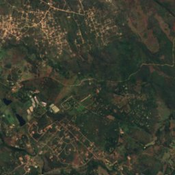
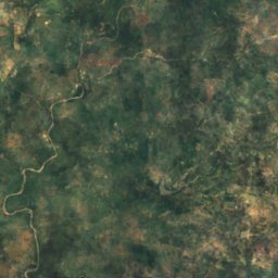
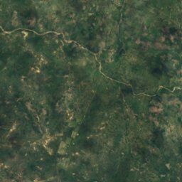
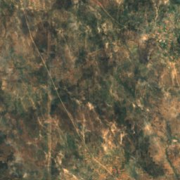
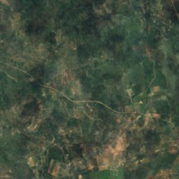
Rusape Dam
Rusape, Manicaland
1,371 m
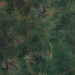
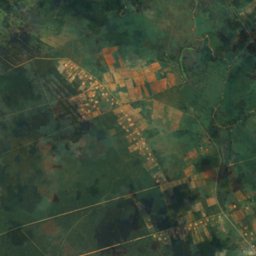
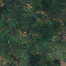
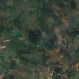
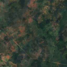
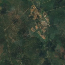
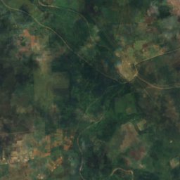
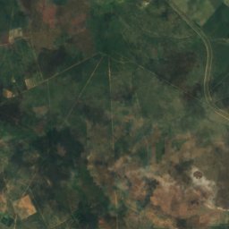
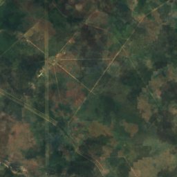
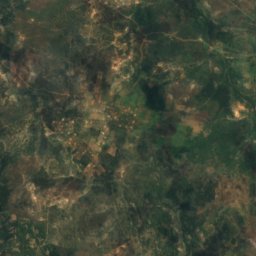
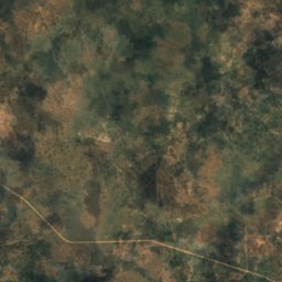
Satellite: Sentinel-2 cloudless 2016 by EOX IT Services GmbH · CC BY 4.0 · Contains modified Copernicus Sentinel data 2016
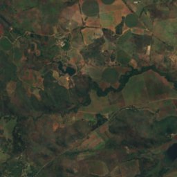
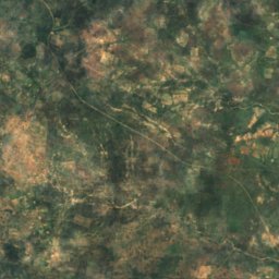
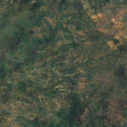
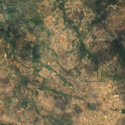
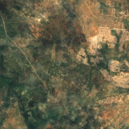
Bonisa Dam
Bulawayo, Bulawayo
1,210 m
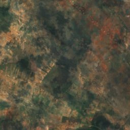
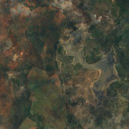
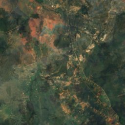
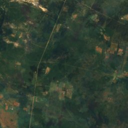
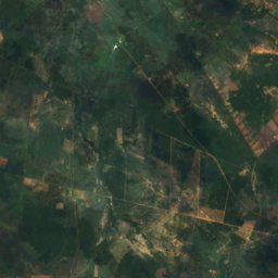
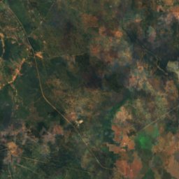
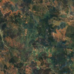
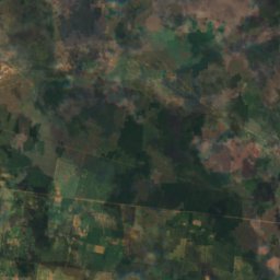
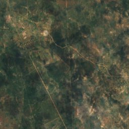
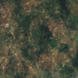
Satellite: Sentinel-2 cloudless 2016 by EOX IT Services GmbH · CC BY 4.0 · Contains modified Copernicus Sentinel data 2016
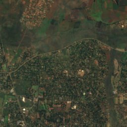
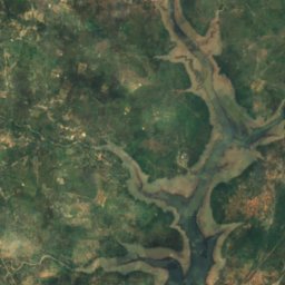
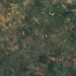
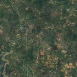
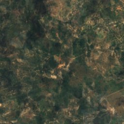
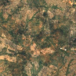
Fundisi Dam
Bulawayo, Bulawayo
1,257 m
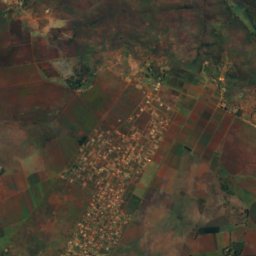
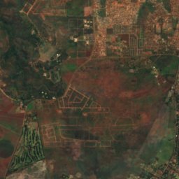
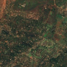
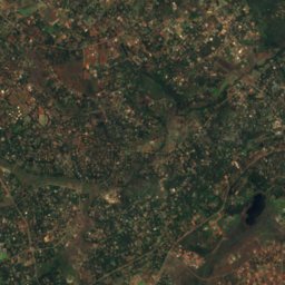
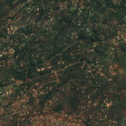
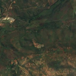
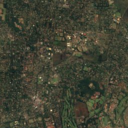
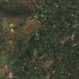
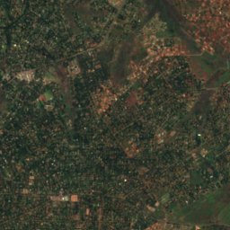
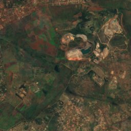
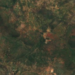
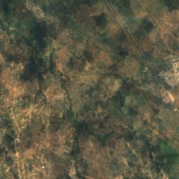
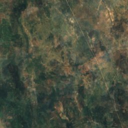
Satellite: Sentinel-2 cloudless 2016 by EOX IT Services GmbH · CC BY 4.0 · Contains modified Copernicus Sentinel data 2016
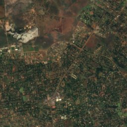
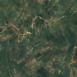
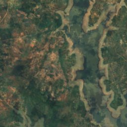
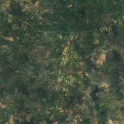
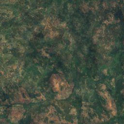
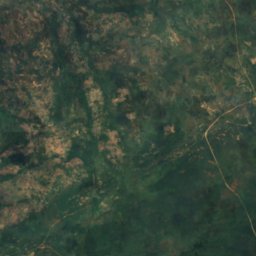
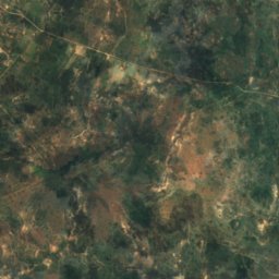
Gletwyn
Harare, Harare
1,479 m
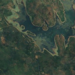
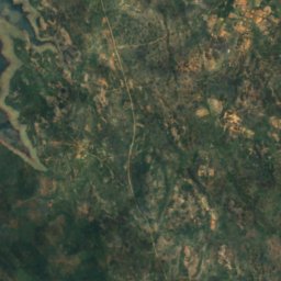
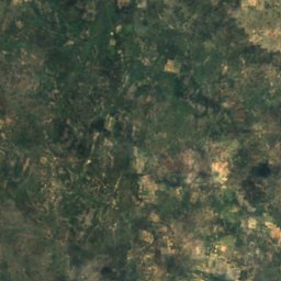
Satellite: Sentinel-2 cloudless 2016 by EOX IT Services GmbH · CC BY 4.0 · Contains modified Copernicus Sentinel data 2016
Insiza Dam
Filabusi, Matabeleland South Province
1,135 m
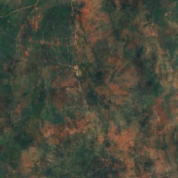
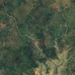
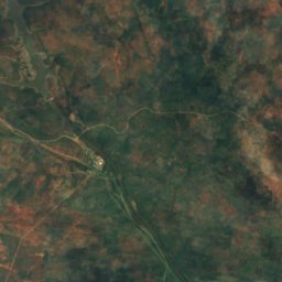
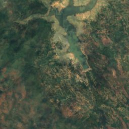
Satellite: Sentinel-2 cloudless 2016 by EOX IT Services GmbH · CC BY 4.0 · Contains modified Copernicus Sentinel data 2016
Inyankuni Dam
Mbalabala, Matabeleland South Province
1,084 m
Waterfalls
Waterfalls of Zimbabwe
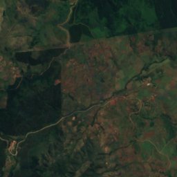
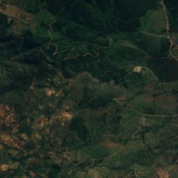
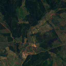
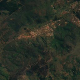
Satellite: Sentinel-2 cloudless 2016 by EOX IT Services GmbH · CC BY 4.0 · Contains modified Copernicus Sentinel data 2016
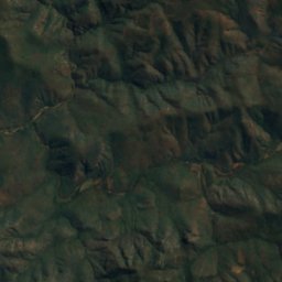
Bridal Veil Falls
Chimanimani, Manicaland

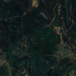
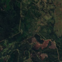
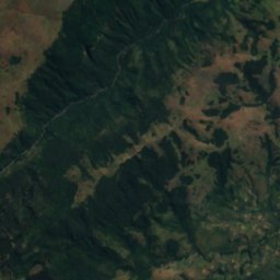
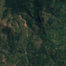
Satellite: Sentinel-2 cloudless 2016 by EOX IT Services GmbH · CC BY 4.0 · Contains modified Copernicus Sentinel data 2016
Pungwe Falls
Nyanga, Manicaland
1,676 m
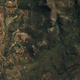
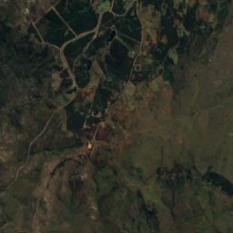
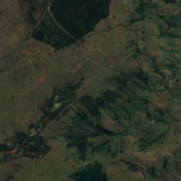
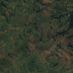
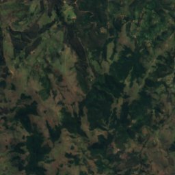
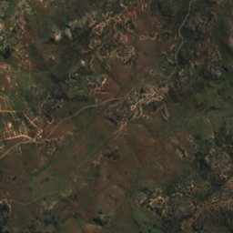
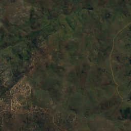
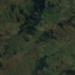
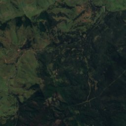
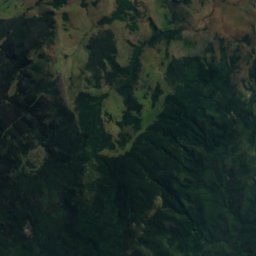
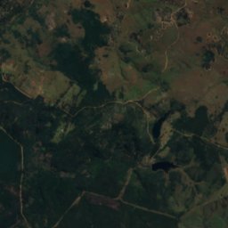
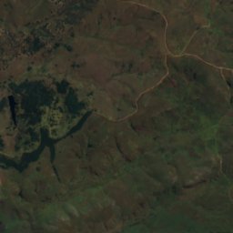
Satellite: Sentinel-2 cloudless 2016 by EOX IT Services GmbH · CC BY 4.0 · Contains modified Copernicus Sentinel data 2016
Nyama Falls
Nyanga, Manicaland
1,973 m
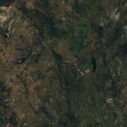
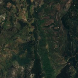
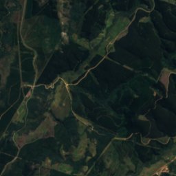
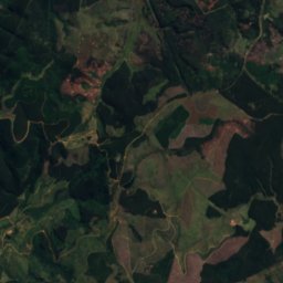
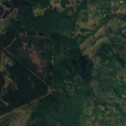
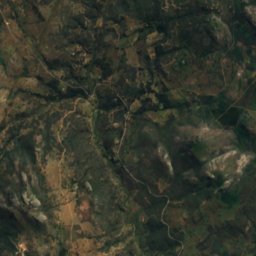
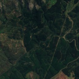
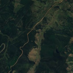
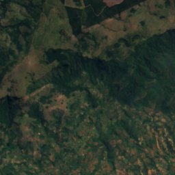
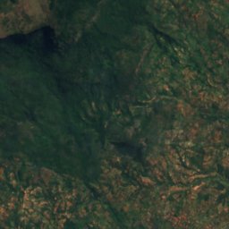
Satellite: Sentinel-2 cloudless 2016 by EOX IT Services GmbH · CC BY 4.0 · Contains modified Copernicus Sentinel data 2016
Chipungu Falls
Nyanga, Manicaland
1,862 m
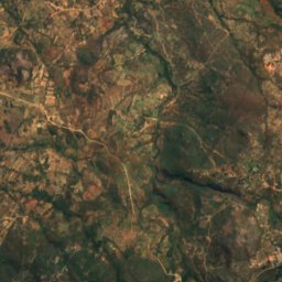
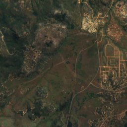
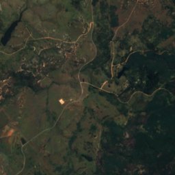
Satellite: Sentinel-2 cloudless 2016 by EOX IT Services GmbH · CC BY 4.0 · Contains modified Copernicus Sentinel data 2016
Chirwe Falls
Nyanga, Manicaland
1,966 m
Satellite: Sentinel-2 cloudless 2016 by EOX IT Services GmbH · CC BY 4.0 · Contains modified Copernicus Sentinel data 2016
Garrezi Falls
Nyanga, Manicaland
1,950 m
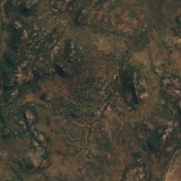
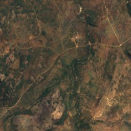
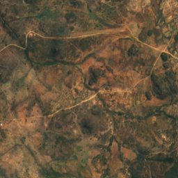
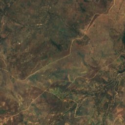
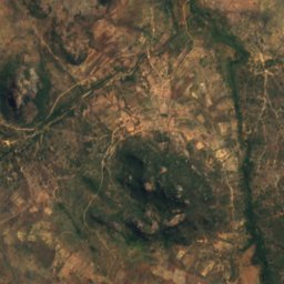
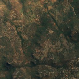
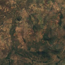
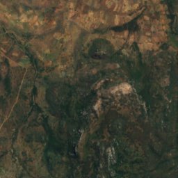
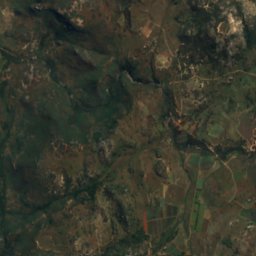
Satellite: Sentinel-2 cloudless 2016 by EOX IT Services GmbH · CC BY 4.0 · Contains modified Copernicus Sentinel data 2016
Inyangombe Falls
Nyanga, Manicaland
1,645 m
Satellite: Sentinel-2 cloudless 2016 by EOX IT Services GmbH · CC BY 4.0 · Contains modified Copernicus Sentinel data 2016
Nueh Falls
Nyanga, Manicaland
1,476 m
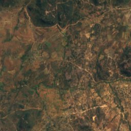
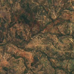
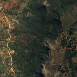
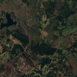
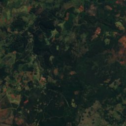
Satellite: Sentinel-2 cloudless 2016 by EOX IT Services GmbH · CC BY 4.0 · Contains modified Copernicus Sentinel data 2016
Nyamziwa Falls
Nyanga, Manicaland
1,873 m
National parks
National parks of Zimbabwe

Photo: Harvey Barrison from Massapequa, NY, USA · CC BY-SA 2.0 · Wikimedia CommonsReport this photo · linked, not stored
Zambezi National Park
Victoria Falls, Matabeleland North
1,044 m


Photo: Harvey Barrison from Massapequa, NY, USA · CC BY-SA 2.0 · Wikimedia CommonsReport this photo · linked, not stored
Victoria Falls National Park
Victoria Falls, Matabeleland North
23 km²
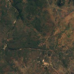
Satellite: Sentinel-2 cloudless 2016 by EOX IT Services GmbH · CC BY 4.0 · Contains modified Copernicus Sentinel data 2016
Nyanga National Park
Nyanga, Manicaland
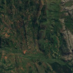
Satellite: Sentinel-2 cloudless 2016 by EOX IT Services GmbH · CC BY 4.0 · Contains modified Copernicus Sentinel data 2016
Chimanimani National Park
Chimanimani, Manicaland
Mountain huts
Mountain huts of Zimbabwe
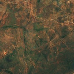
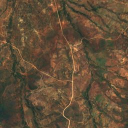
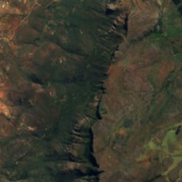
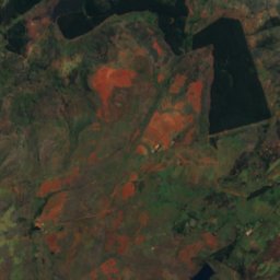
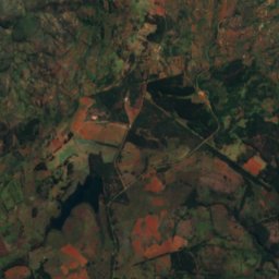
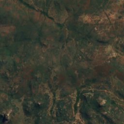
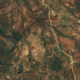
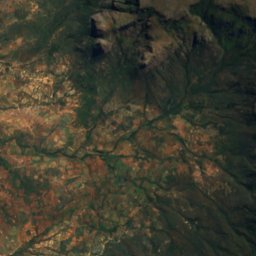
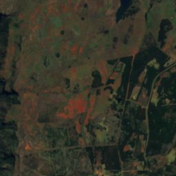
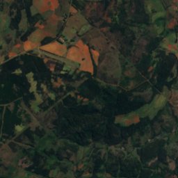
Satellite: Sentinel-2 cloudless 2016 by EOX IT Services GmbH · CC BY 4.0 · Contains modified Copernicus Sentinel data 2016
World's View
Nyanga, Manicaland
2,248 m
Islands
Islands of Zimbabwe

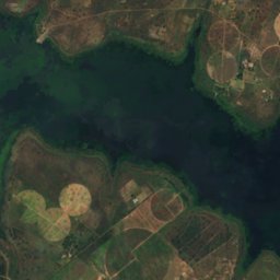
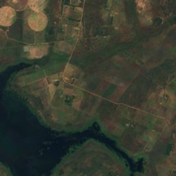
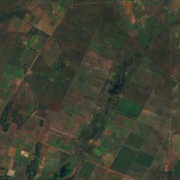
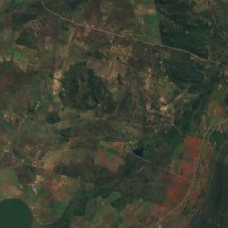
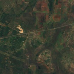
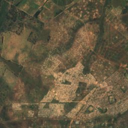
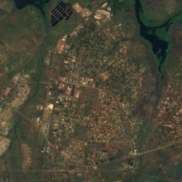
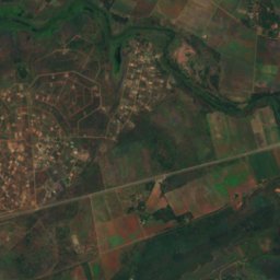
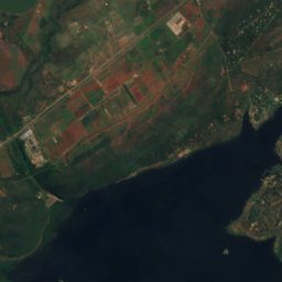
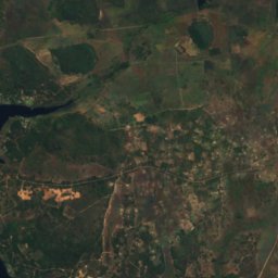
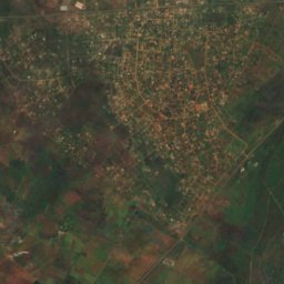
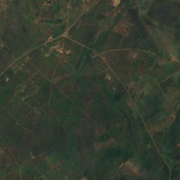
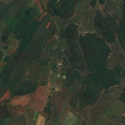
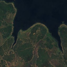
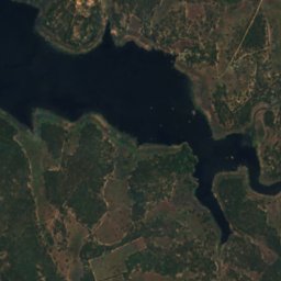
Satellite: Sentinel-2 cloudless 2016 by EOX IT Services GmbH · CC BY 4.0 · Contains modified Copernicus Sentinel data 2016
Remembrance Island
Norton, Mashonaland West
1,366 m
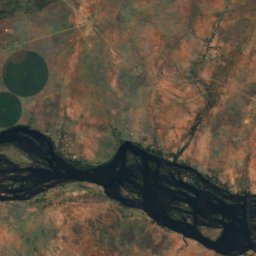
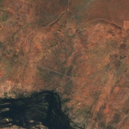
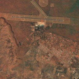
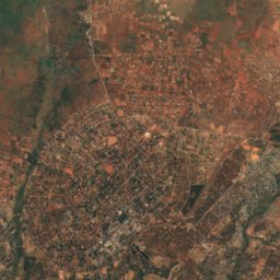
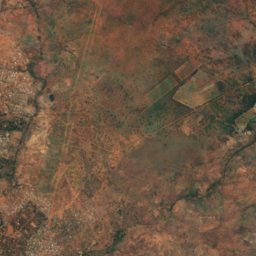
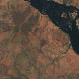
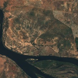
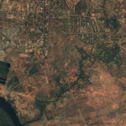
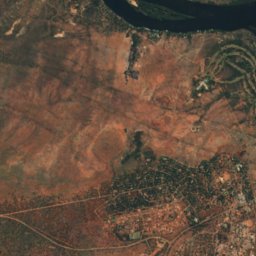
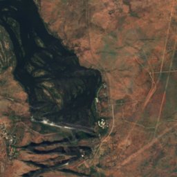
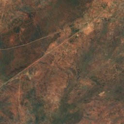
Satellite: Sentinel-2 cloudless 2016 by EOX IT Services GmbH · CC BY 4.0 · Contains modified Copernicus Sentinel data 2016
Kalai Island
Victoria Falls, Matabeleland North
898 m
Satellite: Sentinel-2 cloudless 2016 by EOX IT Services GmbH · CC BY 4.0 · Contains modified Copernicus Sentinel data 2016
Siloka Island
Victoria Falls, Matabeleland North
892 m
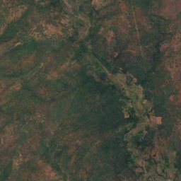
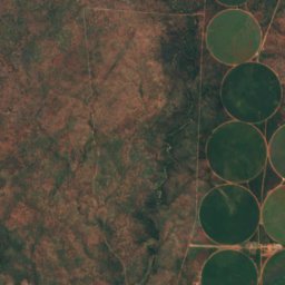
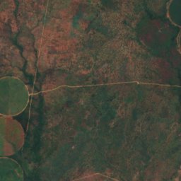
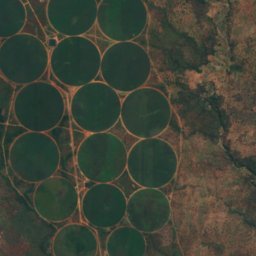
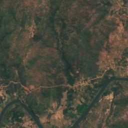
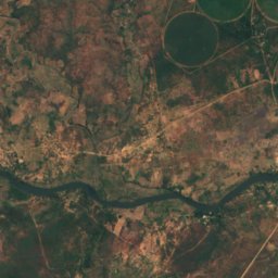
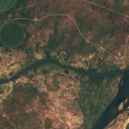
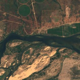
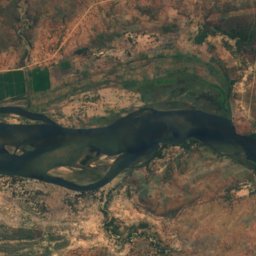
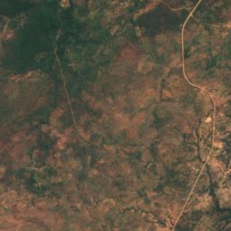
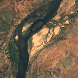
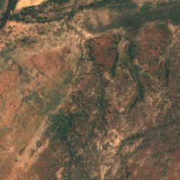
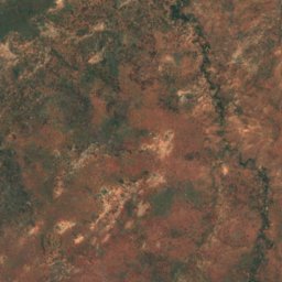
Satellite: Sentinel-2 cloudless 2016 by EOX IT Services GmbH · CC BY 4.0 · Contains modified Copernicus Sentinel data 2016
Kanyemba Island
Chirundu, Mashonaland West
378 m
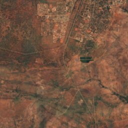
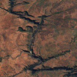
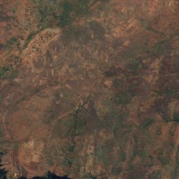
Satellite: Sentinel-2 cloudless 2016 by EOX IT Services GmbH · CC BY 4.0 · Contains modified Copernicus Sentinel data 2016
Cataract Island
Victoria Falls, Matabeleland North
887 m
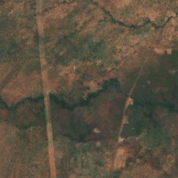
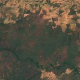
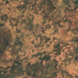
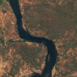
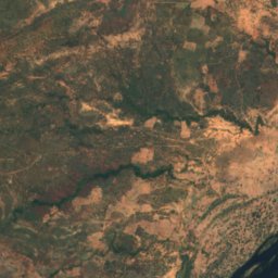
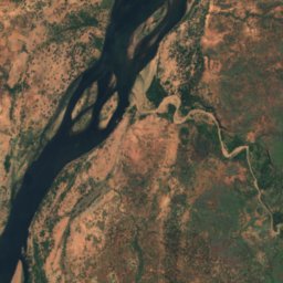
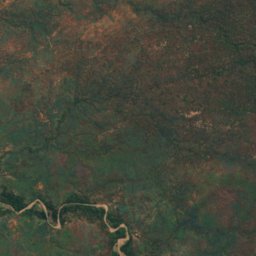
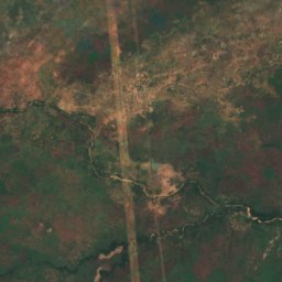
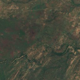
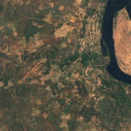
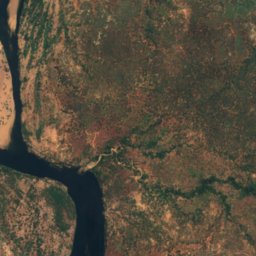
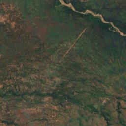
Satellite: Sentinel-2 cloudless 2016 by EOX IT Services GmbH · CC BY 4.0 · Contains modified Copernicus Sentinel data 2016
Chirinde
Kariba, Mashonaland West
376 m
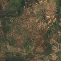
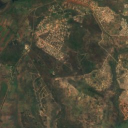
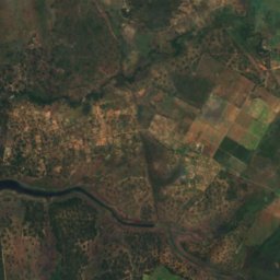
Satellite: Sentinel-2 cloudless 2016 by EOX IT Services GmbH · CC BY 4.0 · Contains modified Copernicus Sentinel data 2016
Dassie Island
Norton, Mashonaland West
1,366 m
Satellite: Sentinel-2 cloudless 2016 by EOX IT Services GmbH · CC BY 4.0 · Contains modified Copernicus Sentinel data 2016
Hydro Island
Norton, Mashonaland West
1,366 m
All 25 islands
- Canary Island
- Cataract Island
- Chirinde
- Dassie Island
- Hydro Island
- Kabwatu Island
- Kalai Island
- Kanyemba Island
- Maile Island
- Mzambara Island
- Namakabwa Island
- Nanvuvu Island
- Nyakarura
- Nyamuomba Island
- Nyangombe Island
- Princess Christian Island
- Princess Elizabeth Island
- Princess Margaret Island
- Princess Marie Louise Island
- Princess Victoria Island
- Redcliff Island
- Remembrance Island
- Siloka Island
- Tsetse Island
- Zebra Island
Caves
Caves of Zimbabwe

Rivers
Rivers of Zimbabwe

Photo: Paulmaz at English Wikipedia · CC BY-SA 3.0 · Wikimedia CommonsReport this photo · linked, not stored
Kafue River
Chirundu, Mashonaland West

Photo: Babakathy at English Wikipedia · Public domain · Wikimedia CommonsReport this photo · linked, not stored
Insiza River
Filabusi, Matabeleland South Province

Photo: Babakathy at English Wikipedia · Public domain · Wikimedia CommonsReport this photo · linked, not stored
Mtshabezi River
Gwanda, Matabeleland South Province
895 m
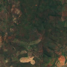
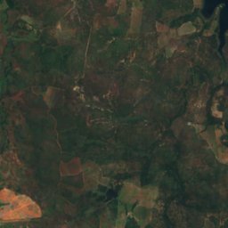
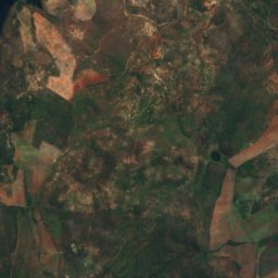
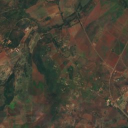
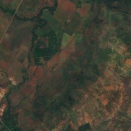
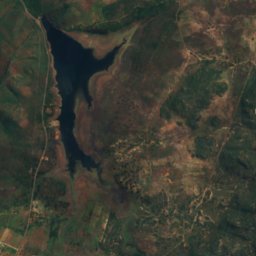
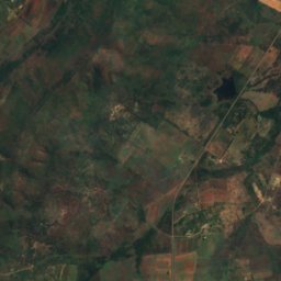
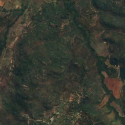
Satellite: Sentinel-2 cloudless 2016 by EOX IT Services GmbH · CC BY 4.0 · Contains modified Copernicus Sentinel data 2016
Mazowe River
Mazowe, Mashonaland Central
Satellite: Sentinel-2 cloudless 2016 by EOX IT Services GmbH · CC BY 4.0 · Contains modified Copernicus Sentinel data 2016
Kwekwe River
Bulawayo, Bulawayo
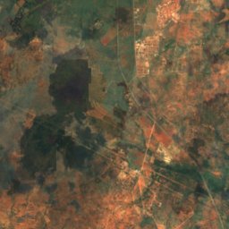
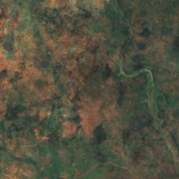
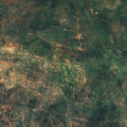
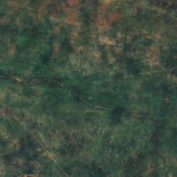
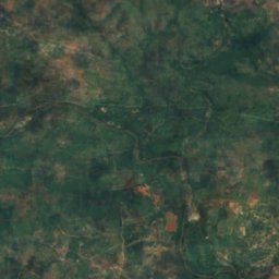
Satellite: Sentinel-2 cloudless 2016 by EOX IT Services GmbH · CC BY 4.0 · Contains modified Copernicus Sentinel data 2016
Ncema River
Mbalabala, Matabeleland South Province
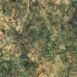
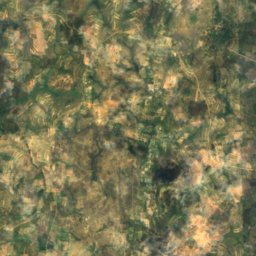
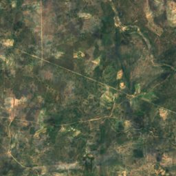
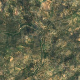
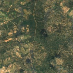
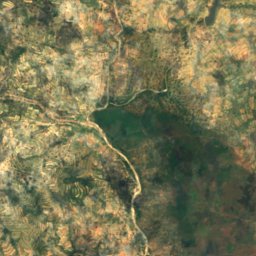
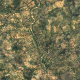
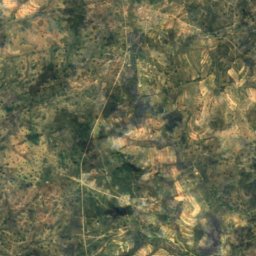
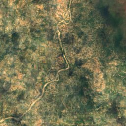
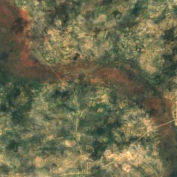
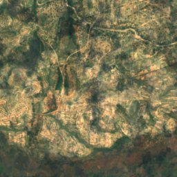
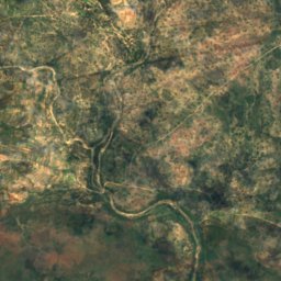
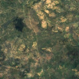
Satellite: Sentinel-2 cloudless 2016 by EOX IT Services GmbH · CC BY 4.0 · Contains modified Copernicus Sentinel data 2016
Tokwane River
Mashava, Masvingo Province
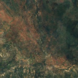
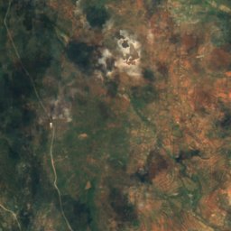
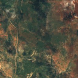
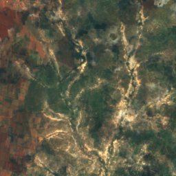
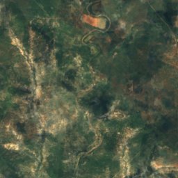
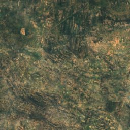
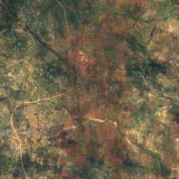
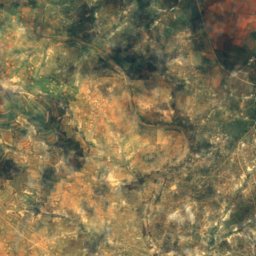
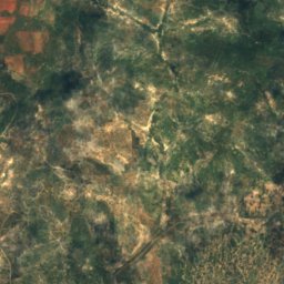
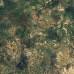
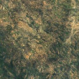
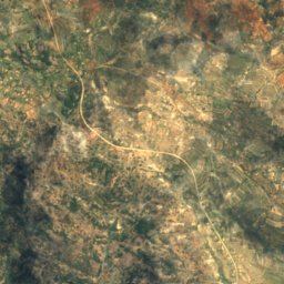
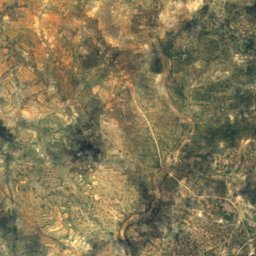
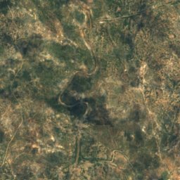


Satellite: Sentinel-2 cloudless 2016 by EOX IT Services GmbH · CC BY 4.0 · Contains modified Copernicus Sentinel data 2016
Inkankezi River
Filabusi, Matabeleland South Province
Satellite: Sentinel-2 cloudless 2016 by EOX IT Services GmbH · CC BY 4.0 · Contains modified Copernicus Sentinel data 2016
Mpopoma (Kame)
Bulawayo, Bulawayo