자연
짐바브웨의 물가, 빙하, 야생
호수, 폭포, 빙하, 국립공원, 산장. 각각의 위치, 규모, 주변 날씨를 소개합니다.
호수20곳(개별 페이지 있음)
폭포12곳(개별 페이지 있음)
국립공원5곳(개별 페이지 있음)
산장1곳(개별 페이지 있음)

호수
짐바브웨의 호수

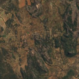
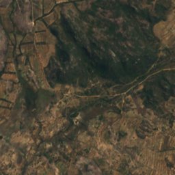
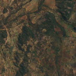
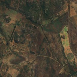
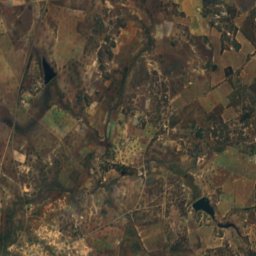
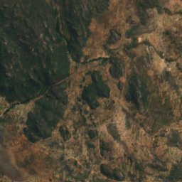
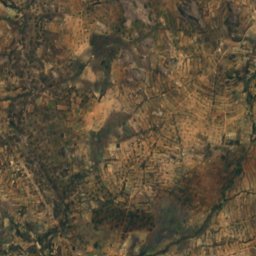
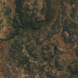
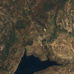
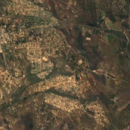
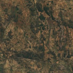
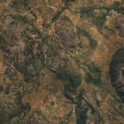
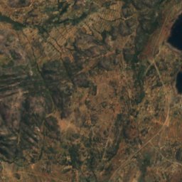
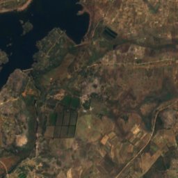
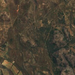
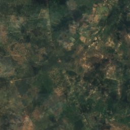
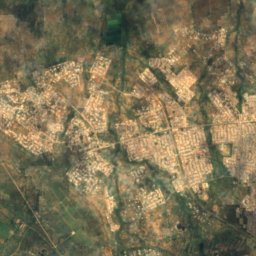
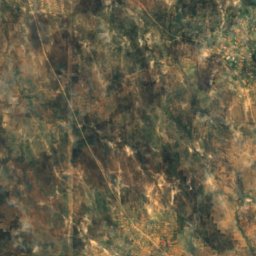
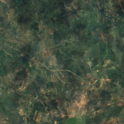
위성: Sentinel-2 cloudless 2016(EOX IT Services GmbH) · CC BY 4.0 · 수정된 Copernicus Sentinel 데이터(2016) 포함
Rusape Dam
Rusape, Manicaland
1,371 m
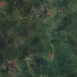
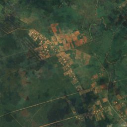
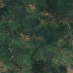
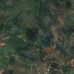
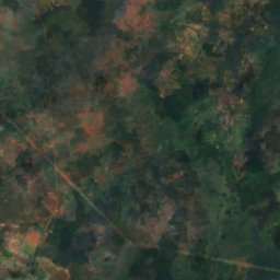
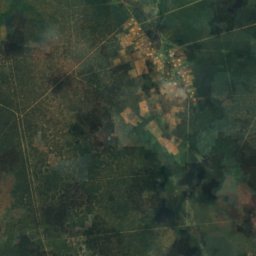
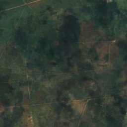
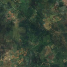
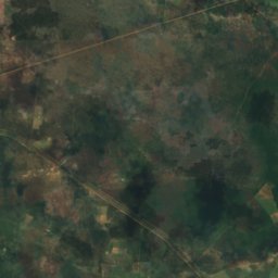
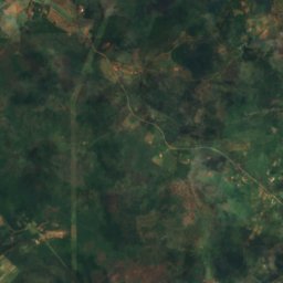
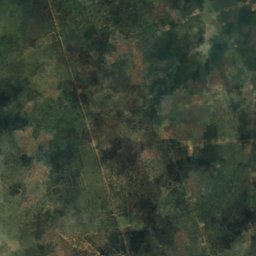
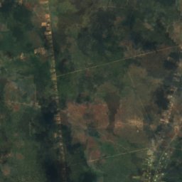
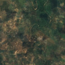
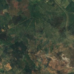
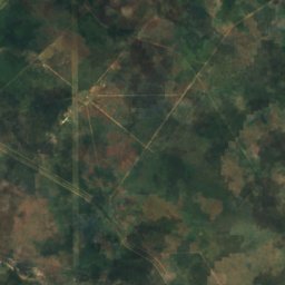
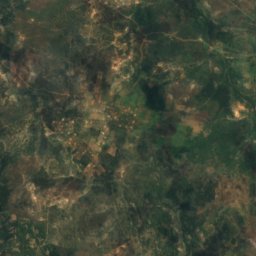
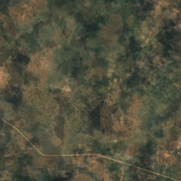
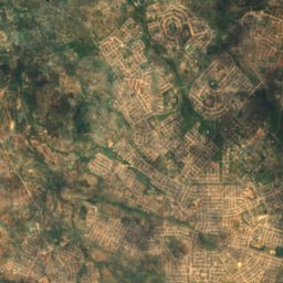
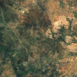
위성: Sentinel-2 cloudless 2016(EOX IT Services GmbH) · CC BY 4.0 · 수정된 Copernicus Sentinel 데이터(2016) 포함
Bonisa Dam
Bulawayo, Bulawayo
1,210 m
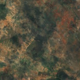
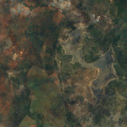
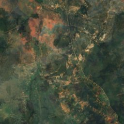
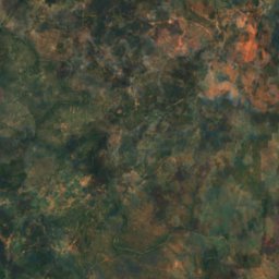
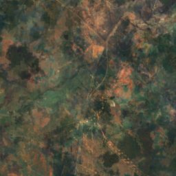
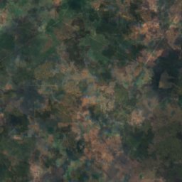
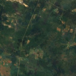
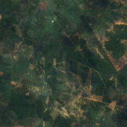
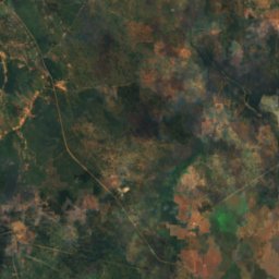
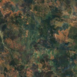
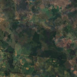
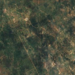
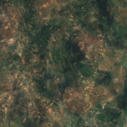
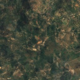
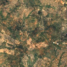
위성: Sentinel-2 cloudless 2016(EOX IT Services GmbH) · CC BY 4.0 · 수정된 Copernicus Sentinel 데이터(2016) 포함
Fundisi Dam
Bulawayo, Bulawayo
1,257 m
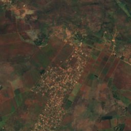
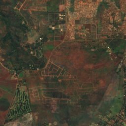
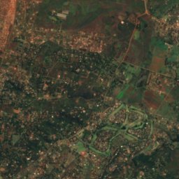
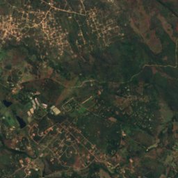
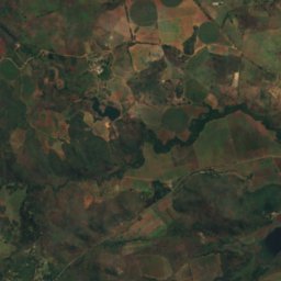
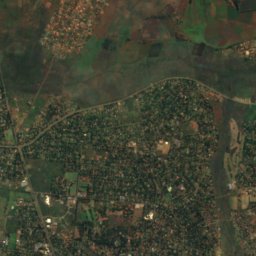
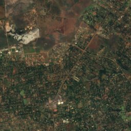
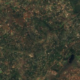
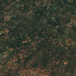
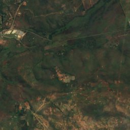
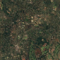
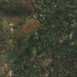
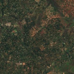
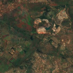
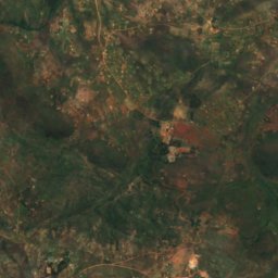
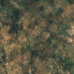
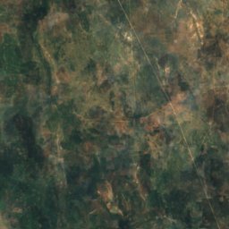
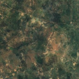
위성: Sentinel-2 cloudless 2016(EOX IT Services GmbH) · CC BY 4.0 · 수정된 Copernicus Sentinel 데이터(2016) 포함
Gletwyn
Harare, Harare
1,479 m
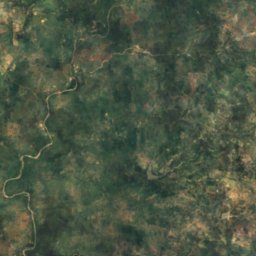
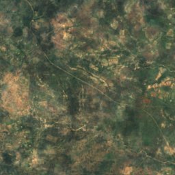
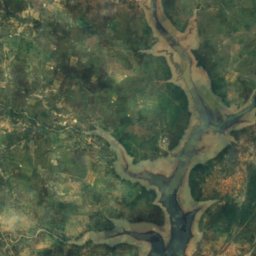
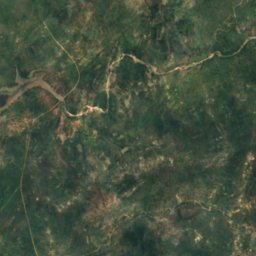
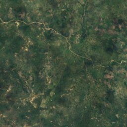
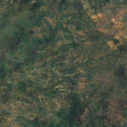
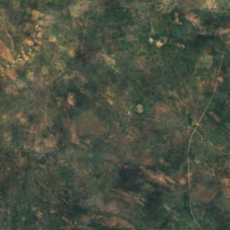
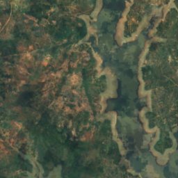
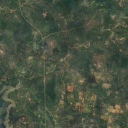
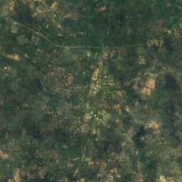
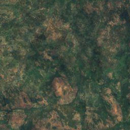
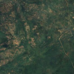
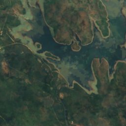
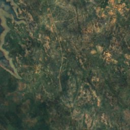
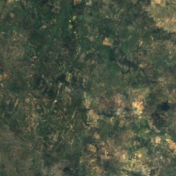
위성: Sentinel-2 cloudless 2016(EOX IT Services GmbH) · CC BY 4.0 · 수정된 Copernicus Sentinel 데이터(2016) 포함
Insiza Dam
Filabusi, Matabeleland South Province
1,135 m
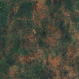
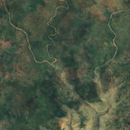
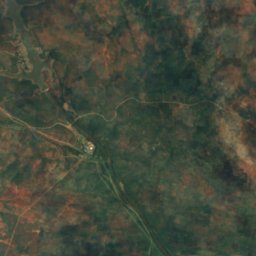
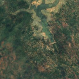
위성: Sentinel-2 cloudless 2016(EOX IT Services GmbH) · CC BY 4.0 · 수정된 Copernicus Sentinel 데이터(2016) 포함
Inyankuni Dam
Mbalabala, Matabeleland South Province
1,084 m
폭포
짐바브웨의 폭포
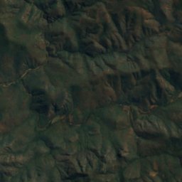
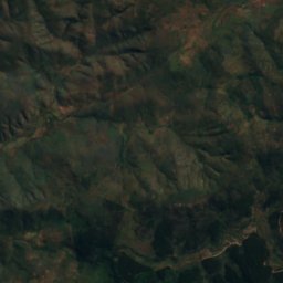
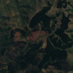
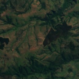
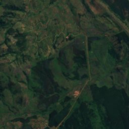
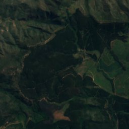
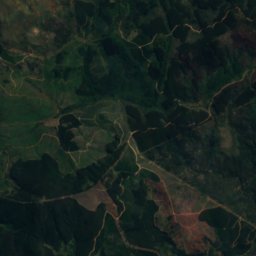
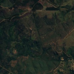
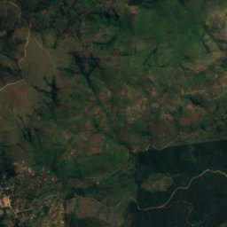
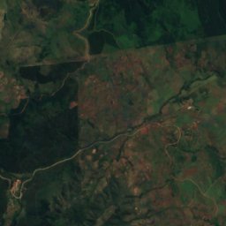
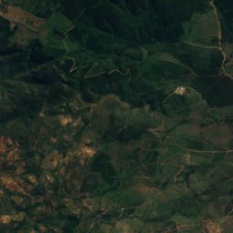
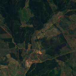
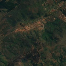
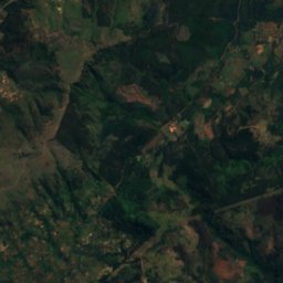
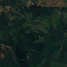
위성: Sentinel-2 cloudless 2016(EOX IT Services GmbH) · CC BY 4.0 · 수정된 Copernicus Sentinel 데이터(2016) 포함
Bridal Veil Falls
Chimanimani, Manicaland
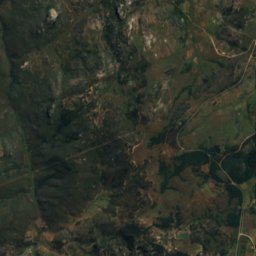
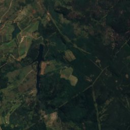
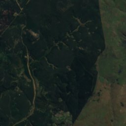
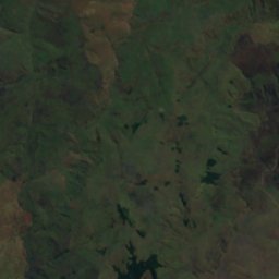
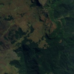
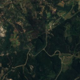
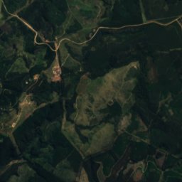
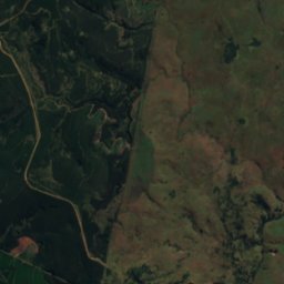
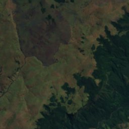
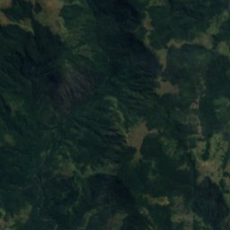

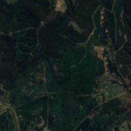
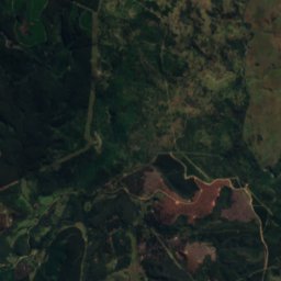
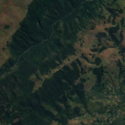
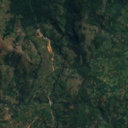
위성: Sentinel-2 cloudless 2016(EOX IT Services GmbH) · CC BY 4.0 · 수정된 Copernicus Sentinel 데이터(2016) 포함
Pungwe Falls
Nyanga, Manicaland
1,676 m
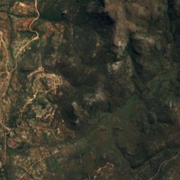
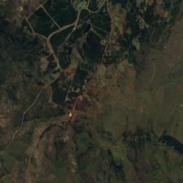
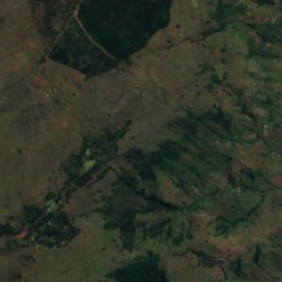
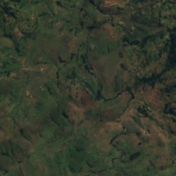
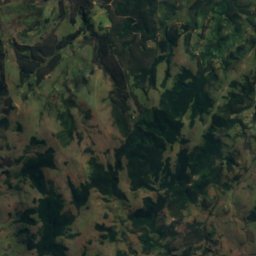
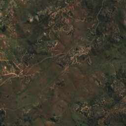
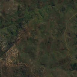
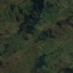
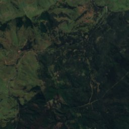
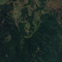
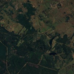
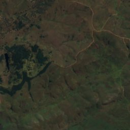
위성: Sentinel-2 cloudless 2016(EOX IT Services GmbH) · CC BY 4.0 · 수정된 Copernicus Sentinel 데이터(2016) 포함
Nyama Falls
Nyanga, Manicaland
1,973 m
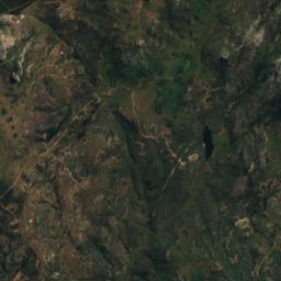
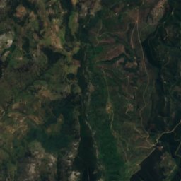
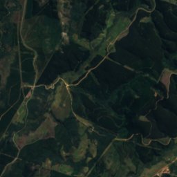
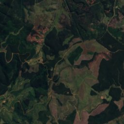
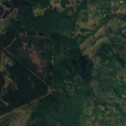
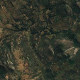
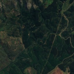
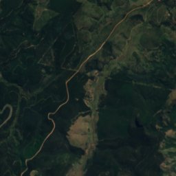
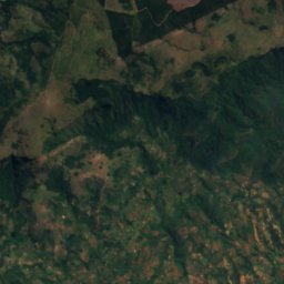
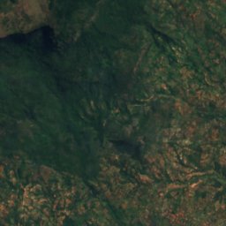
위성: Sentinel-2 cloudless 2016(EOX IT Services GmbH) · CC BY 4.0 · 수정된 Copernicus Sentinel 데이터(2016) 포함
Chipungu Falls
Nyanga, Manicaland
1,862 m
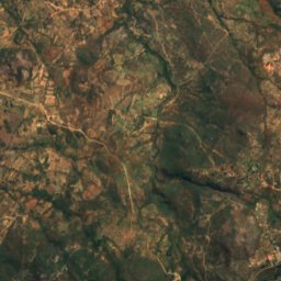
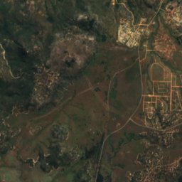
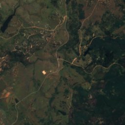
위성: Sentinel-2 cloudless 2016(EOX IT Services GmbH) · CC BY 4.0 · 수정된 Copernicus Sentinel 데이터(2016) 포함
Chirwe Falls
Nyanga, Manicaland
1,966 m
위성: Sentinel-2 cloudless 2016(EOX IT Services GmbH) · CC BY 4.0 · 수정된 Copernicus Sentinel 데이터(2016) 포함
Garrezi Falls
Nyanga, Manicaland
1,950 m
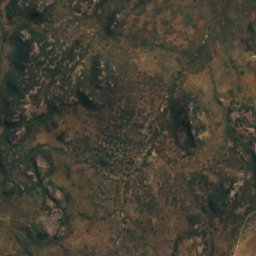
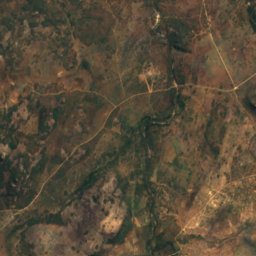
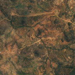
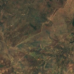
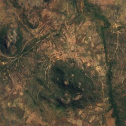
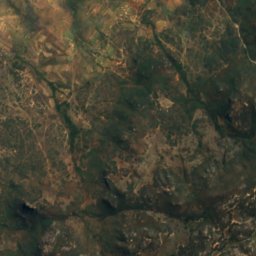
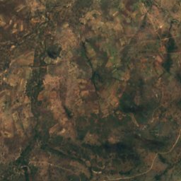
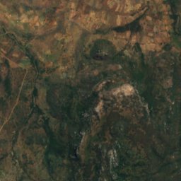
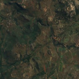
위성: Sentinel-2 cloudless 2016(EOX IT Services GmbH) · CC BY 4.0 · 수정된 Copernicus Sentinel 데이터(2016) 포함
Inyangombe Falls
Nyanga, Manicaland
1,645 m
위성: Sentinel-2 cloudless 2016(EOX IT Services GmbH) · CC BY 4.0 · 수정된 Copernicus Sentinel 데이터(2016) 포함
Nueh Falls
Nyanga, Manicaland
1,476 m
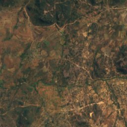
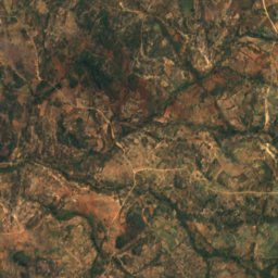
위성: Sentinel-2 cloudless 2016(EOX IT Services GmbH) · CC BY 4.0 · 수정된 Copernicus Sentinel 데이터(2016) 포함
Nyamziwa Falls
Nyanga, Manicaland
1,873 m
국립공원
짐바브웨의 국립공원


위성: Sentinel-2 cloudless 2016(EOX IT Services GmbH) · CC BY 4.0 · 수정된 Copernicus Sentinel 데이터(2016) 포함
Nyanga National Park
Nyanga, Manicaland
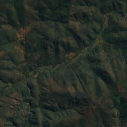
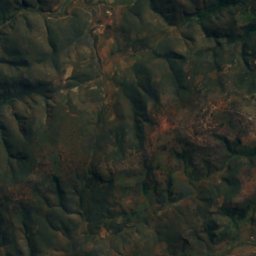
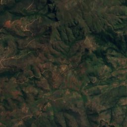
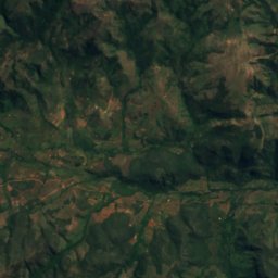
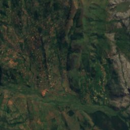
위성: Sentinel-2 cloudless 2016(EOX IT Services GmbH) · CC BY 4.0 · 수정된 Copernicus Sentinel 데이터(2016) 포함
Chimanimani National Park
Chimanimani, Manicaland
산장
짐바브웨의 산장
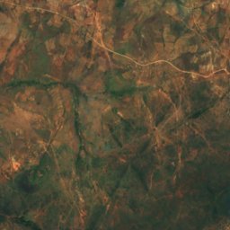
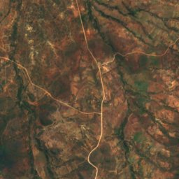
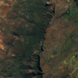
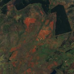
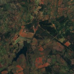
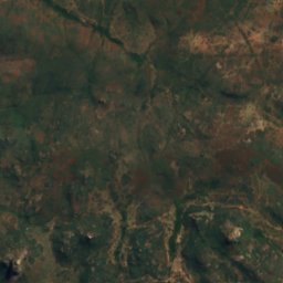
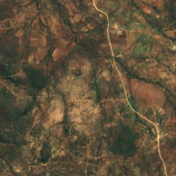
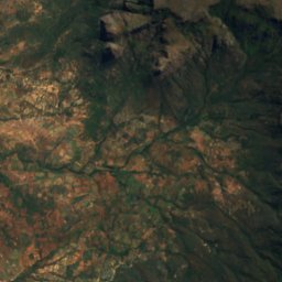
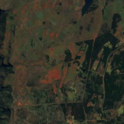
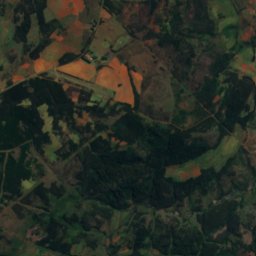
위성: Sentinel-2 cloudless 2016(EOX IT Services GmbH) · CC BY 4.0 · 수정된 Copernicus Sentinel 데이터(2016) 포함
World's View
Nyanga, Manicaland
2,248 m
섬
짐바브웨의 섬

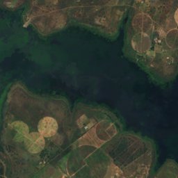
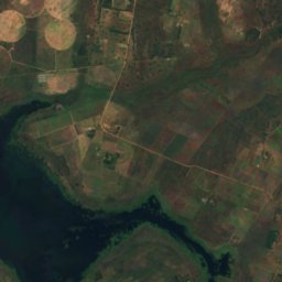
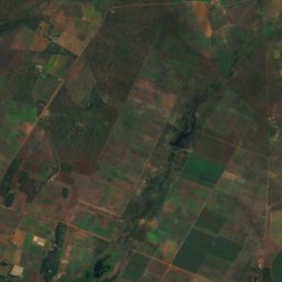
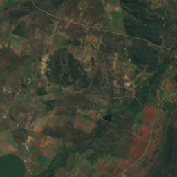
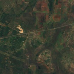
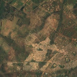
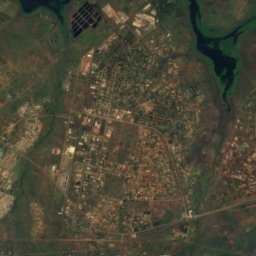
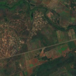
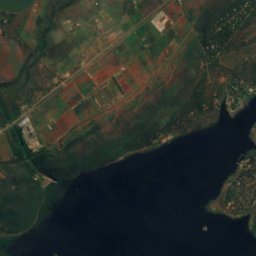
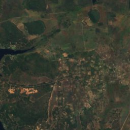
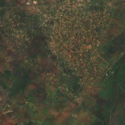
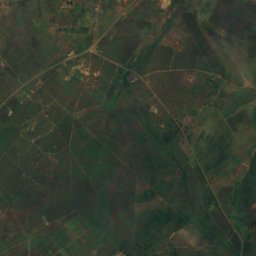
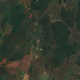
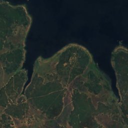
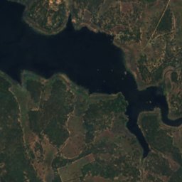
위성: Sentinel-2 cloudless 2016(EOX IT Services GmbH) · CC BY 4.0 · 수정된 Copernicus Sentinel 데이터(2016) 포함
Remembrance Island
Norton, Mashonaland West
1,366 m
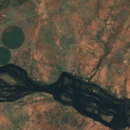
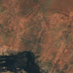
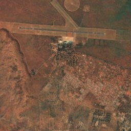
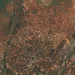
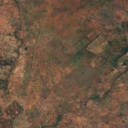
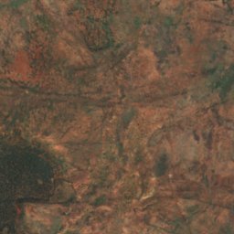
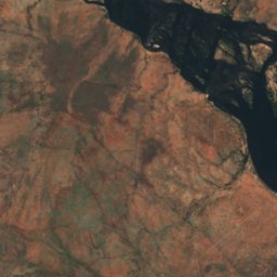
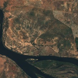
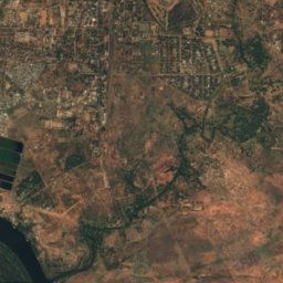
위성: Sentinel-2 cloudless 2016(EOX IT Services GmbH) · CC BY 4.0 · 수정된 Copernicus Sentinel 데이터(2016) 포함
Kalai Island
Victoria Falls, Matabeleland North
898 m
위성: Sentinel-2 cloudless 2016(EOX IT Services GmbH) · CC BY 4.0 · 수정된 Copernicus Sentinel 데이터(2016) 포함
Siloka Island
Victoria Falls, Matabeleland North
892 m
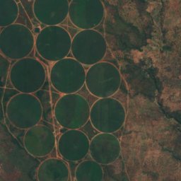
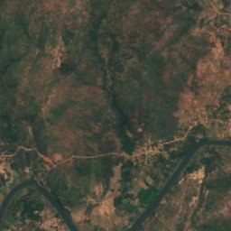
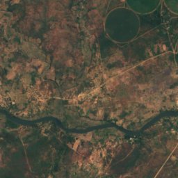
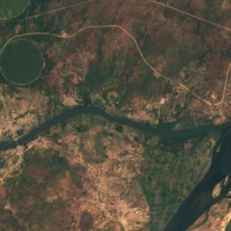
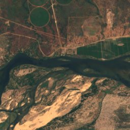
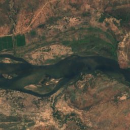
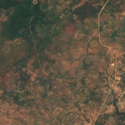
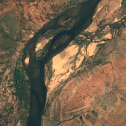
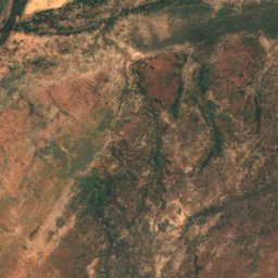
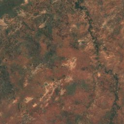
위성: Sentinel-2 cloudless 2016(EOX IT Services GmbH) · CC BY 4.0 · 수정된 Copernicus Sentinel 데이터(2016) 포함
Kanyemba Island
Chirundu, Mashonaland West
378 m
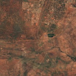
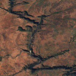
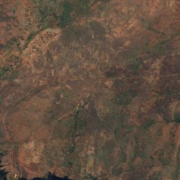
위성: Sentinel-2 cloudless 2016(EOX IT Services GmbH) · CC BY 4.0 · 수정된 Copernicus Sentinel 데이터(2016) 포함
Cataract Island
Victoria Falls, Matabeleland North
887 m
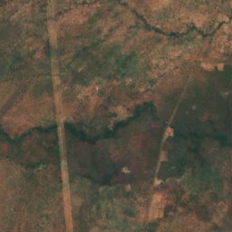
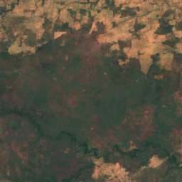
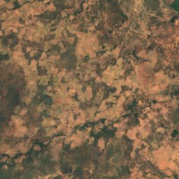
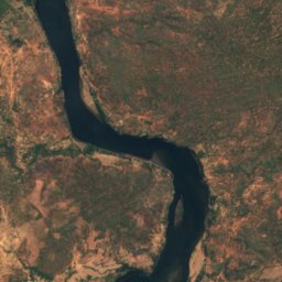
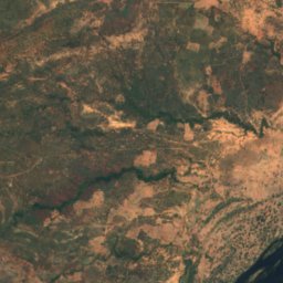
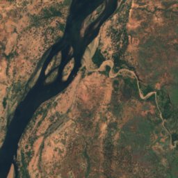
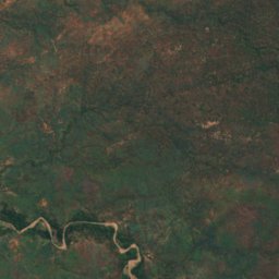
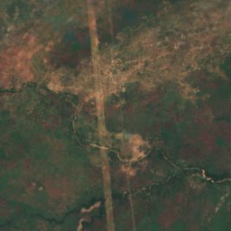
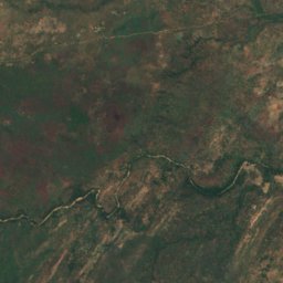
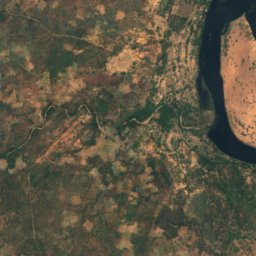
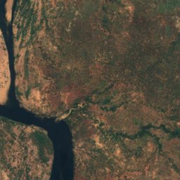
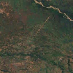
위성: Sentinel-2 cloudless 2016(EOX IT Services GmbH) · CC BY 4.0 · 수정된 Copernicus Sentinel 데이터(2016) 포함
Chirinde
Kariba, Mashonaland West
376 m
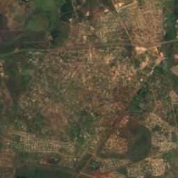
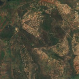
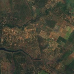
위성: Sentinel-2 cloudless 2016(EOX IT Services GmbH) · CC BY 4.0 · 수정된 Copernicus Sentinel 데이터(2016) 포함
Dassie Island
Norton, Mashonaland West
1,366 m
위성: Sentinel-2 cloudless 2016(EOX IT Services GmbH) · CC BY 4.0 · 수정된 Copernicus Sentinel 데이터(2016) 포함
Hydro Island
Norton, Mashonaland West
1,366 m
전체 목록: 섬 25곳
- Canary Island
- Cataract Island
- Chirinde
- Dassie Island
- Hydro Island
- Kabwatu Island
- Kalai Island
- Kanyemba Island
- Maile Island
- Mzambara Island
- Namakabwa Island
- Nanvuvu Island
- Nyakarura
- Nyamuomba Island
- Nyangombe Island
- Princess Christian Island
- Princess Elizabeth Island
- Princess Margaret Island
- Princess Marie Louise Island
- Princess Victoria Island
- Redcliff Island
- Remembrance Island
- Siloka Island
- Tsetse Island
- Zebra Island
동굴
짐바브웨의 동굴

강
짐바브웨의 강


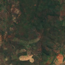
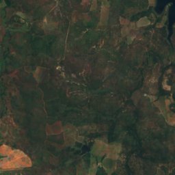
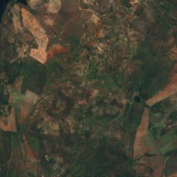
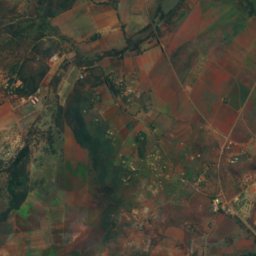
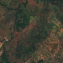
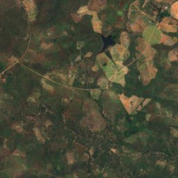
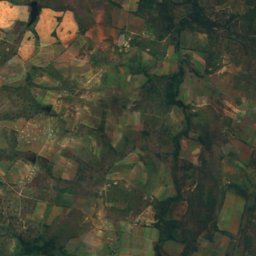
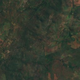
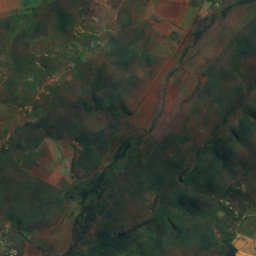
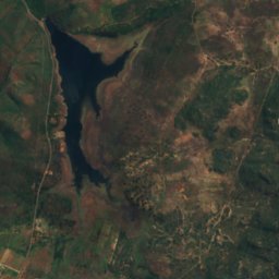
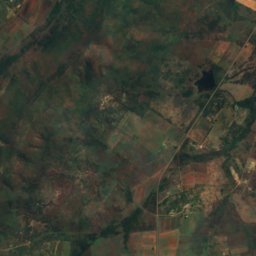
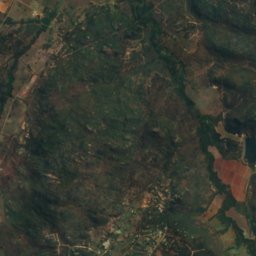
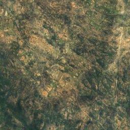
위성: Sentinel-2 cloudless 2016(EOX IT Services GmbH) · CC BY 4.0 · 수정된 Copernicus Sentinel 데이터(2016) 포함
Mazowe River
Mazowe, Mashonaland Central
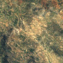
위성: Sentinel-2 cloudless 2016(EOX IT Services GmbH) · CC BY 4.0 · 수정된 Copernicus Sentinel 데이터(2016) 포함
Kwekwe River
Bulawayo, Bulawayo
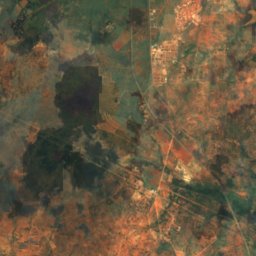
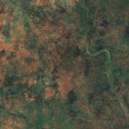
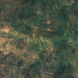
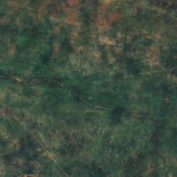
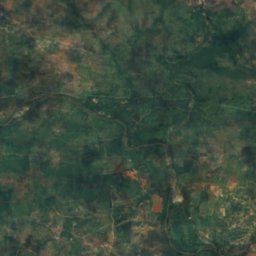
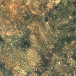
위성: Sentinel-2 cloudless 2016(EOX IT Services GmbH) · CC BY 4.0 · 수정된 Copernicus Sentinel 데이터(2016) 포함
Ncema River
Mbalabala, Matabeleland South Province
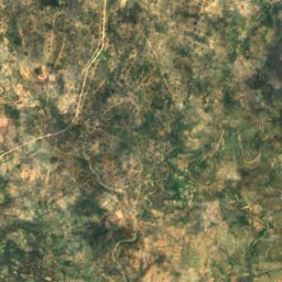
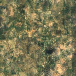
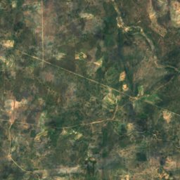
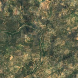
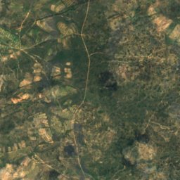
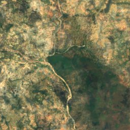
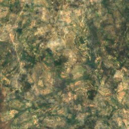
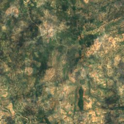
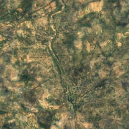
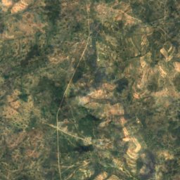
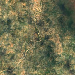
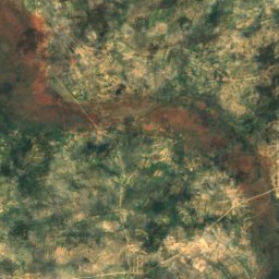
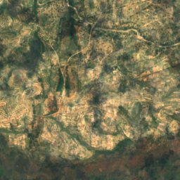
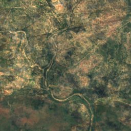
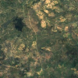
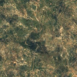
위성: Sentinel-2 cloudless 2016(EOX IT Services GmbH) · CC BY 4.0 · 수정된 Copernicus Sentinel 데이터(2016) 포함
Tokwane River
Mashava, Masvingo Province
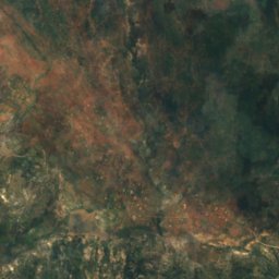
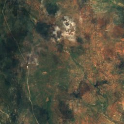
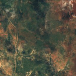
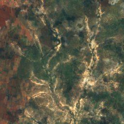
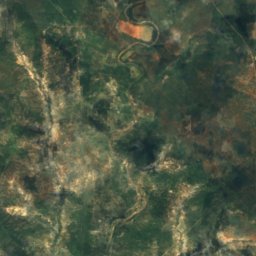
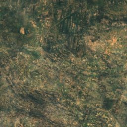
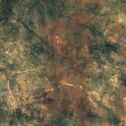
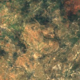
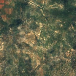
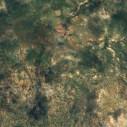


위성: Sentinel-2 cloudless 2016(EOX IT Services GmbH) · CC BY 4.0 · 수정된 Copernicus Sentinel 데이터(2016) 포함
Inkankezi River
Filabusi, Matabeleland South Province
위성: Sentinel-2 cloudless 2016(EOX IT Services GmbH) · CC BY 4.0 · 수정된 Copernicus Sentinel 데이터(2016) 포함
Mpopoma (Kame)
Bulawayo, Bulawayo