الطبيعة
المياه والأنهار الجليدية والبرية في زيمبابوي
البحيرات والشلالات والأنهار الجليدية والحدائق الوطنية والمآوي الجبلية، لكل منها موقعه وحجمه والطقس في جواره.
البحيرات20لكل منها صفحتها
الشلالات12لكل منها صفحتها
الحدائق الوطنية5لكل منها صفحتها
المآوي الجبلية1لكل منها صفحتها

البحيرات
البحيرات في زيمبابوي

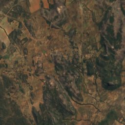
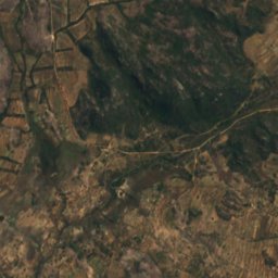
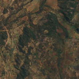
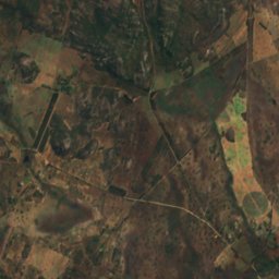
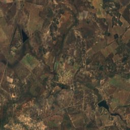
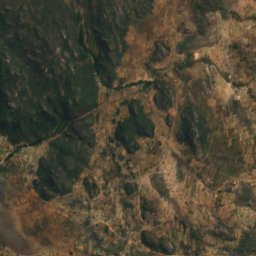
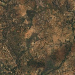
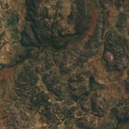
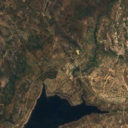
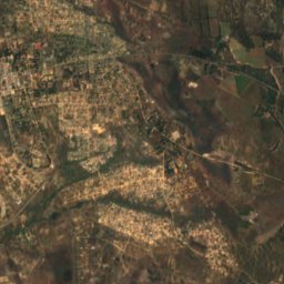
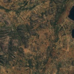
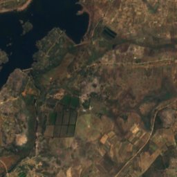
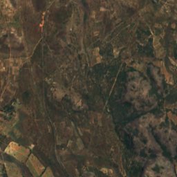
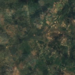
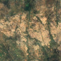
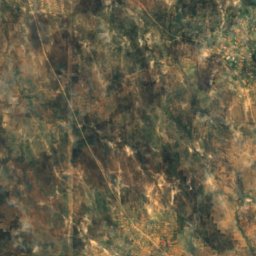
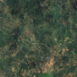
القمر الصناعي: Sentinel-2 cloudless 2016 من EOX IT Services GmbH · CC BY 4.0 · يتضمن بيانات Copernicus Sentinel (2016) معدّلة
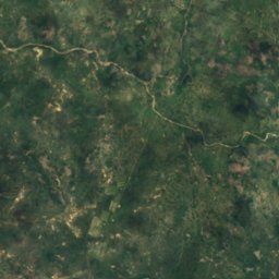
Rusape Dam
Rusape, Manicaland
1,371 م
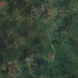
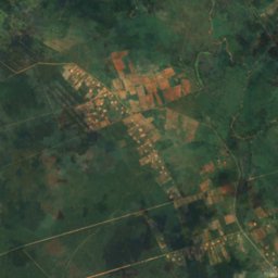
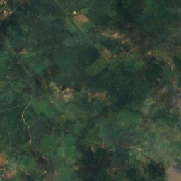
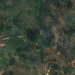
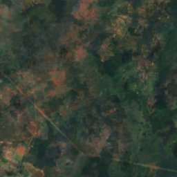
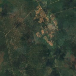
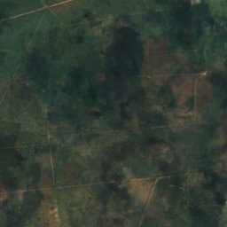
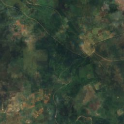
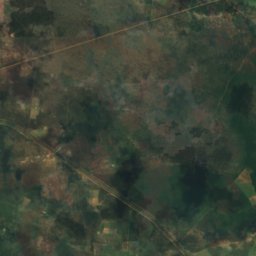
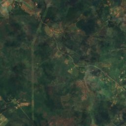
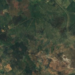
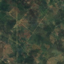
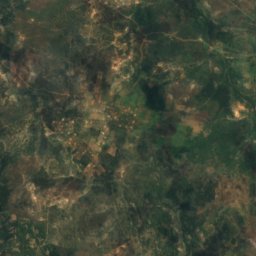
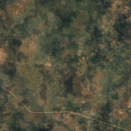
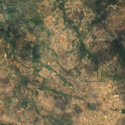
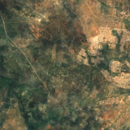
القمر الصناعي: Sentinel-2 cloudless 2016 من EOX IT Services GmbH · CC BY 4.0 · يتضمن بيانات Copernicus Sentinel (2016) معدّلة
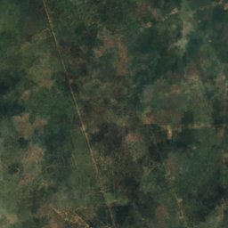
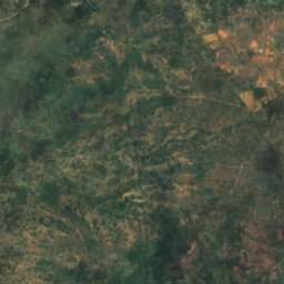
Bonisa Dam
Bulawayo, Bulawayo
1,210 م
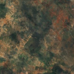
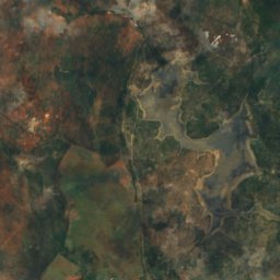
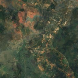
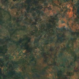
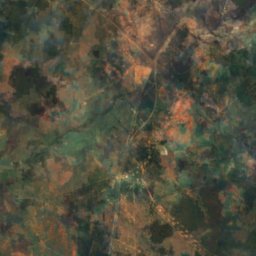
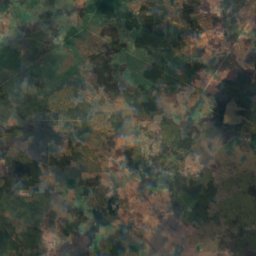
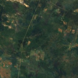
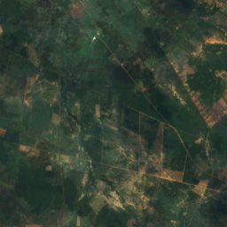
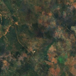
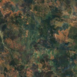
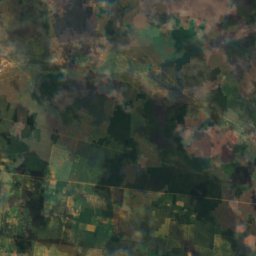
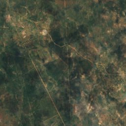
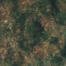
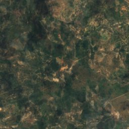
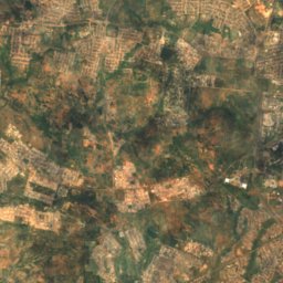
القمر الصناعي: Sentinel-2 cloudless 2016 من EOX IT Services GmbH · CC BY 4.0 · يتضمن بيانات Copernicus Sentinel (2016) معدّلة
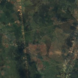
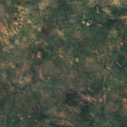
Fundisi Dam
Bulawayo, Bulawayo
1,257 م
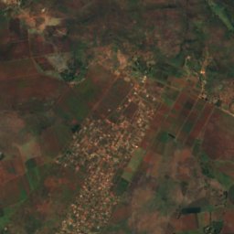
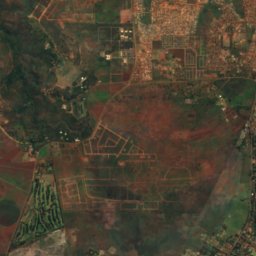
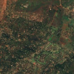
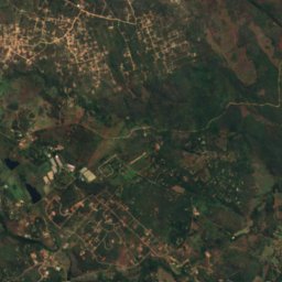
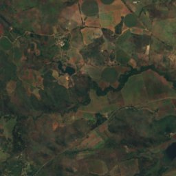
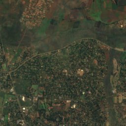
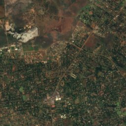
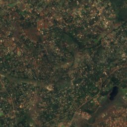
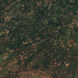
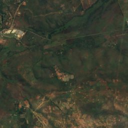
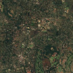
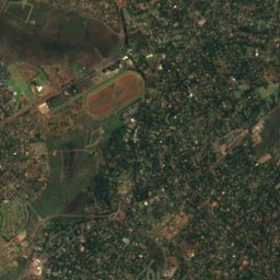
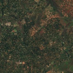
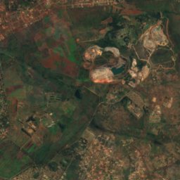
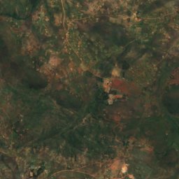
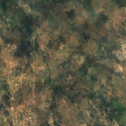
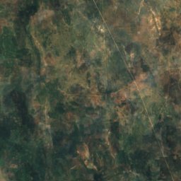
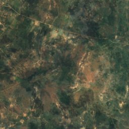
القمر الصناعي: Sentinel-2 cloudless 2016 من EOX IT Services GmbH · CC BY 4.0 · يتضمن بيانات Copernicus Sentinel (2016) معدّلة
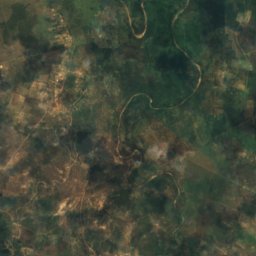
Gletwyn
Harare, Harare
1,479 م
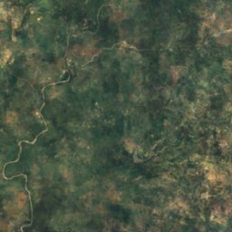
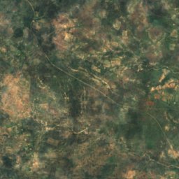
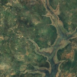
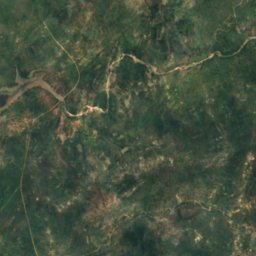
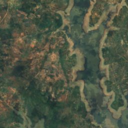
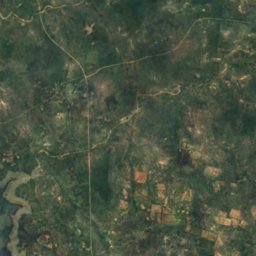
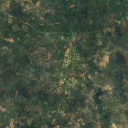
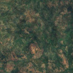
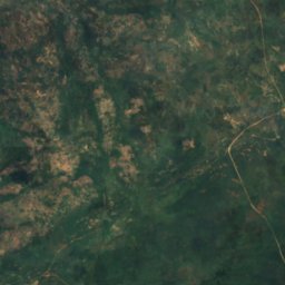
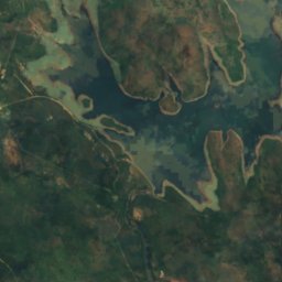
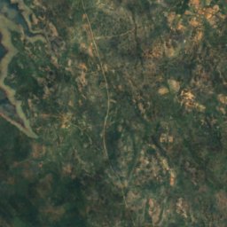
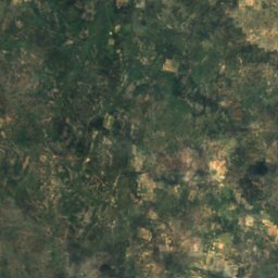
القمر الصناعي: Sentinel-2 cloudless 2016 من EOX IT Services GmbH · CC BY 4.0 · يتضمن بيانات Copernicus Sentinel (2016) معدّلة
Insiza Dam
Filabusi, Matabeleland South Province
1,135 م
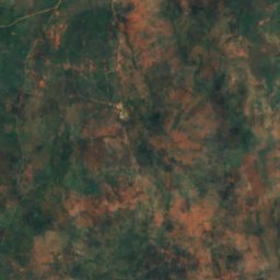
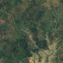
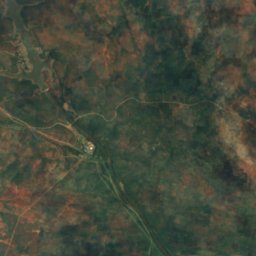
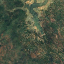
القمر الصناعي: Sentinel-2 cloudless 2016 من EOX IT Services GmbH · CC BY 4.0 · يتضمن بيانات Copernicus Sentinel (2016) معدّلة
Inyankuni Dam
Mbalabala, Matabeleland South Province
1,084 م
الشلالات
الشلالات في زيمبابوي
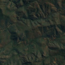
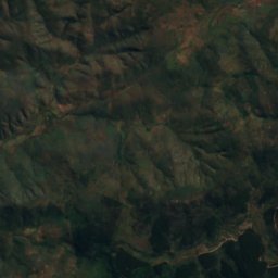
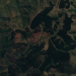
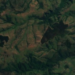
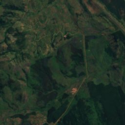
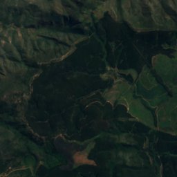
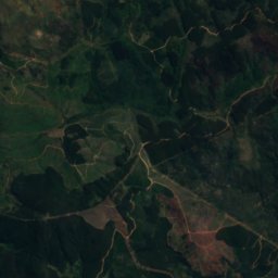
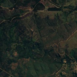
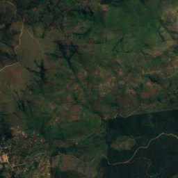
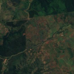
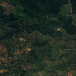
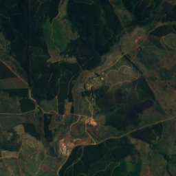
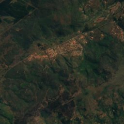
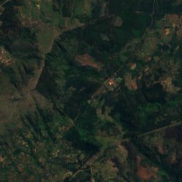
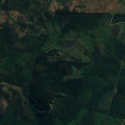
القمر الصناعي: Sentinel-2 cloudless 2016 من EOX IT Services GmbH · CC BY 4.0 · يتضمن بيانات Copernicus Sentinel (2016) معدّلة
Bridal Veil Falls
Chimanimani, Manicaland
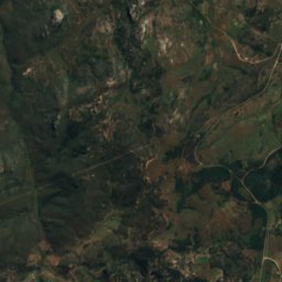
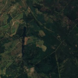
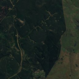
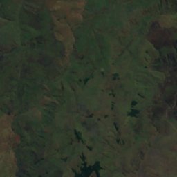
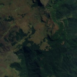
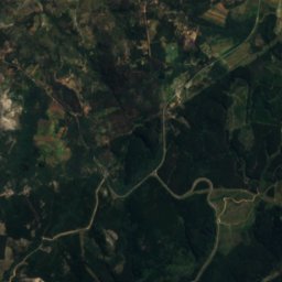
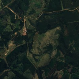
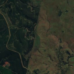
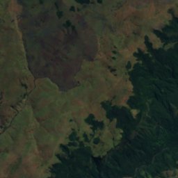
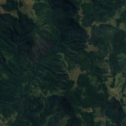

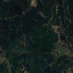
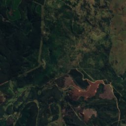
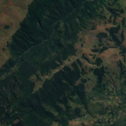
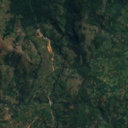
القمر الصناعي: Sentinel-2 cloudless 2016 من EOX IT Services GmbH · CC BY 4.0 · يتضمن بيانات Copernicus Sentinel (2016) معدّلة
Pungwe Falls
Nyanga, Manicaland
1,676 م
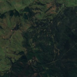
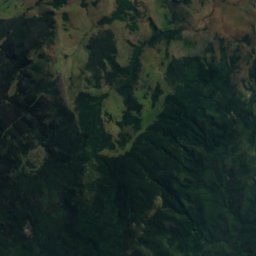
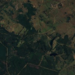
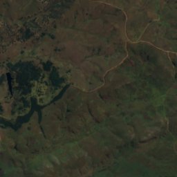
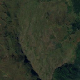
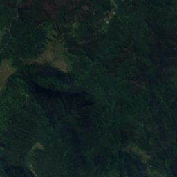
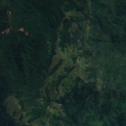
القمر الصناعي: Sentinel-2 cloudless 2016 من EOX IT Services GmbH · CC BY 4.0 · يتضمن بيانات Copernicus Sentinel (2016) معدّلة
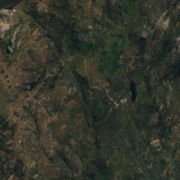
Nyama Falls
Nyanga, Manicaland
1,973 م
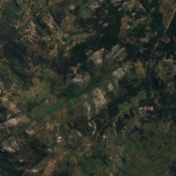
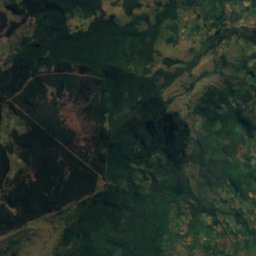
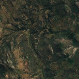
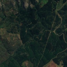
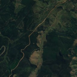
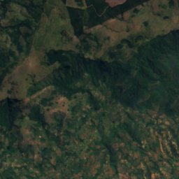
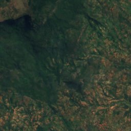
القمر الصناعي: Sentinel-2 cloudless 2016 من EOX IT Services GmbH · CC BY 4.0 · يتضمن بيانات Copernicus Sentinel (2016) معدّلة
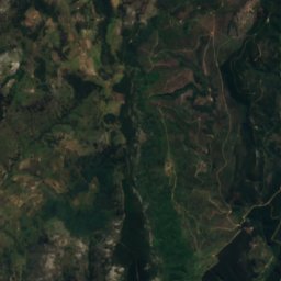
Chipungu Falls
Nyanga, Manicaland
1,862 م
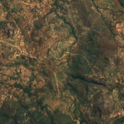
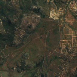
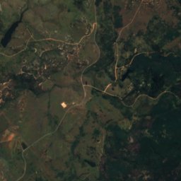
القمر الصناعي: Sentinel-2 cloudless 2016 من EOX IT Services GmbH · CC BY 4.0 · يتضمن بيانات Copernicus Sentinel (2016) معدّلة
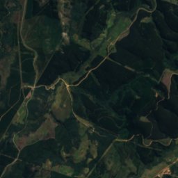
Chirwe Falls
Nyanga, Manicaland
1,966 م
القمر الصناعي: Sentinel-2 cloudless 2016 من EOX IT Services GmbH · CC BY 4.0 · يتضمن بيانات Copernicus Sentinel (2016) معدّلة
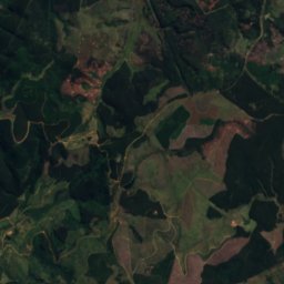
Garrezi Falls
Nyanga, Manicaland
1,950 م
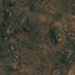
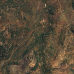
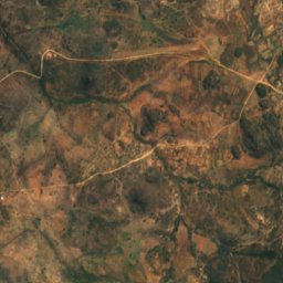
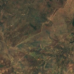
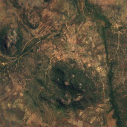
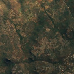
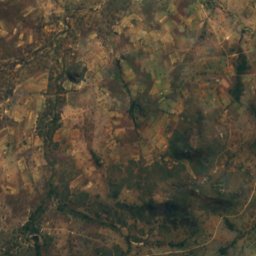
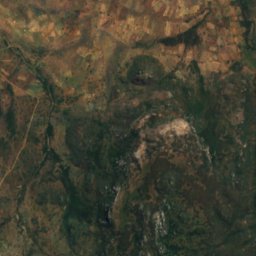
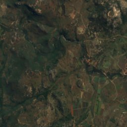
القمر الصناعي: Sentinel-2 cloudless 2016 من EOX IT Services GmbH · CC BY 4.0 · يتضمن بيانات Copernicus Sentinel (2016) معدّلة
Inyangombe Falls
Nyanga, Manicaland
1,645 م
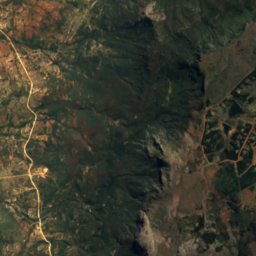
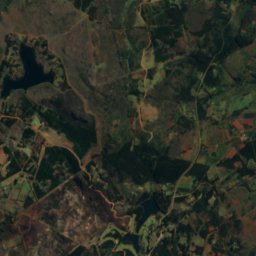
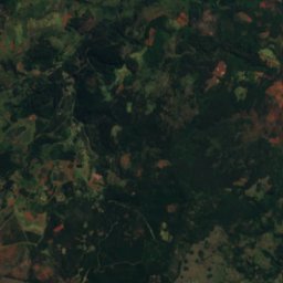
القمر الصناعي: Sentinel-2 cloudless 2016 من EOX IT Services GmbH · CC BY 4.0 · يتضمن بيانات Copernicus Sentinel (2016) معدّلة
Nueh Falls
Nyanga, Manicaland
1,476 م
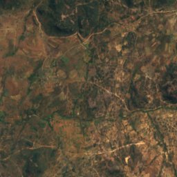
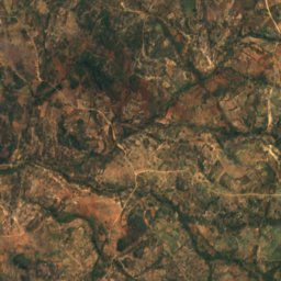
القمر الصناعي: Sentinel-2 cloudless 2016 من EOX IT Services GmbH · CC BY 4.0 · يتضمن بيانات Copernicus Sentinel (2016) معدّلة
Nyamziwa Falls
Nyanga, Manicaland
1,873 م
الحدائق الوطنية
الحدائق الوطنية في زيمبابوي

الصورة: Harvey Barrison from Massapequa, NY, USA · CC BY-SA 2.0 · Wikimedia Commonsأبلغ عن هذه الصورة · بالرابط، دون تخزين
متنزه زامبيزي الوطني
Victoria Falls, Matabeleland North
1,044 م


الصورة: Harvey Barrison from Massapequa, NY, USA · CC BY-SA 2.0 · Wikimedia Commonsأبلغ عن هذه الصورة · بالرابط، دون تخزين
متنزه شلالات فكتوريا الوطني
Victoria Falls, Matabeleland North
23 km²
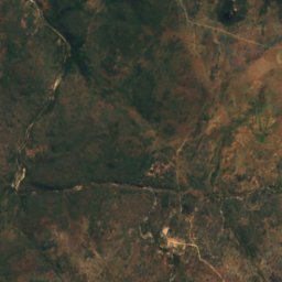
القمر الصناعي: Sentinel-2 cloudless 2016 من EOX IT Services GmbH · CC BY 4.0 · يتضمن بيانات Copernicus Sentinel (2016) معدّلة
Nyanga National Park
Nyanga, Manicaland
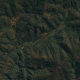
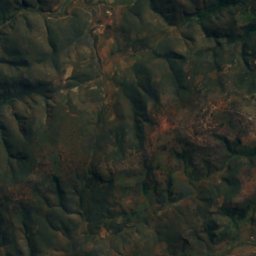
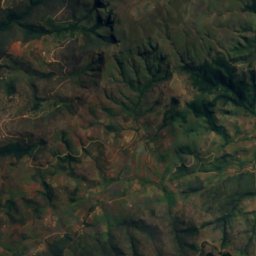
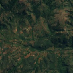
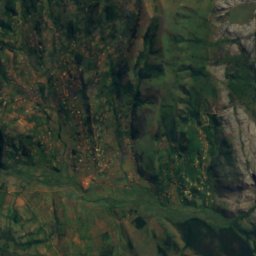
القمر الصناعي: Sentinel-2 cloudless 2016 من EOX IT Services GmbH · CC BY 4.0 · يتضمن بيانات Copernicus Sentinel (2016) معدّلة
Chimanimani National Park
Chimanimani, Manicaland
المآوي الجبلية
المآوي الجبلية في زيمبابوي
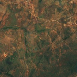
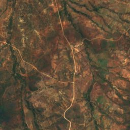
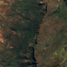
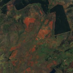
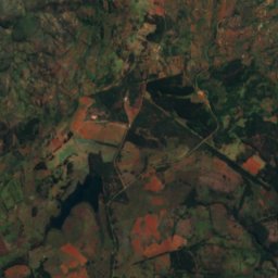
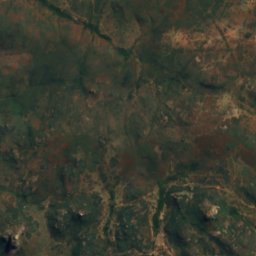
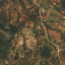
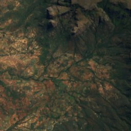
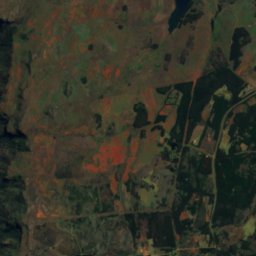
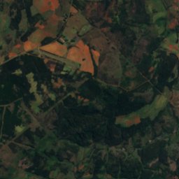
القمر الصناعي: Sentinel-2 cloudless 2016 من EOX IT Services GmbH · CC BY 4.0 · يتضمن بيانات Copernicus Sentinel (2016) معدّلة
World's View
Nyanga, Manicaland
2,248 م
الجزر
الجزر في زيمبابوي

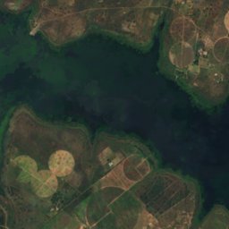
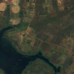
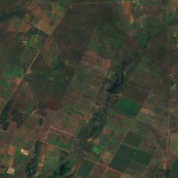
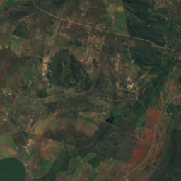
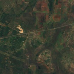
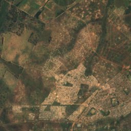
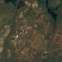
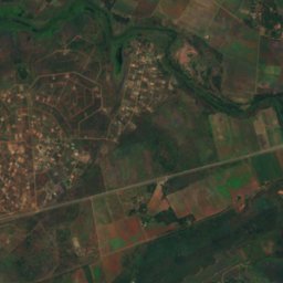
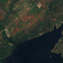
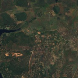
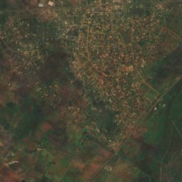
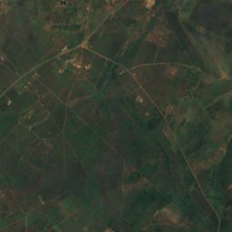
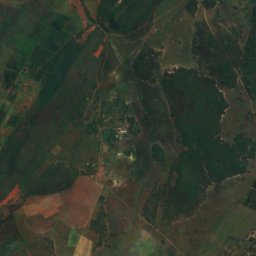
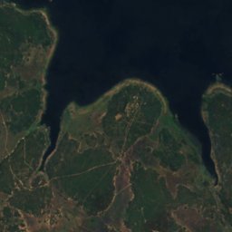
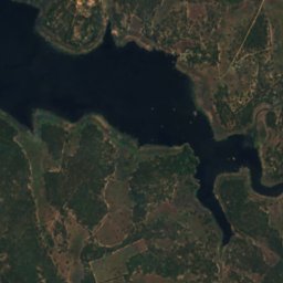
القمر الصناعي: Sentinel-2 cloudless 2016 من EOX IT Services GmbH · CC BY 4.0 · يتضمن بيانات Copernicus Sentinel (2016) معدّلة
Remembrance Island
Norton, Mashonaland West
1,366 م
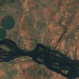
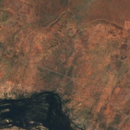
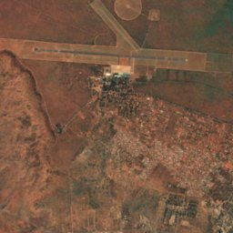
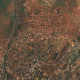
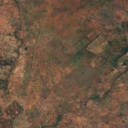
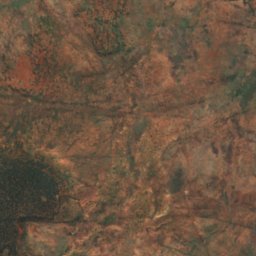
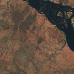
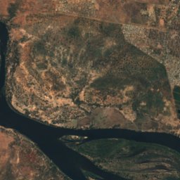
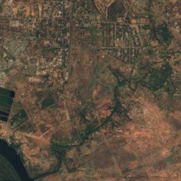
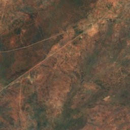
القمر الصناعي: Sentinel-2 cloudless 2016 من EOX IT Services GmbH · CC BY 4.0 · يتضمن بيانات Copernicus Sentinel (2016) معدّلة
Kalai Island
Victoria Falls, Matabeleland North
898 م
القمر الصناعي: Sentinel-2 cloudless 2016 من EOX IT Services GmbH · CC BY 4.0 · يتضمن بيانات Copernicus Sentinel (2016) معدّلة
Siloka Island
Victoria Falls, Matabeleland North
892 م
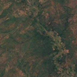
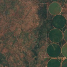
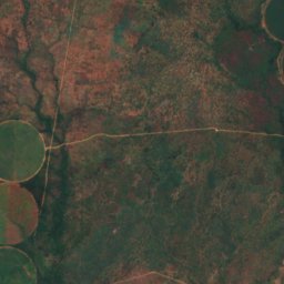
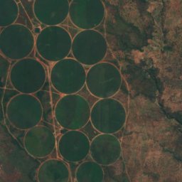
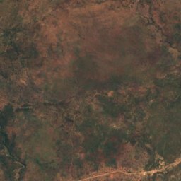
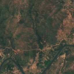
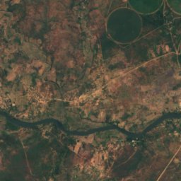
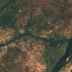
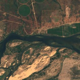
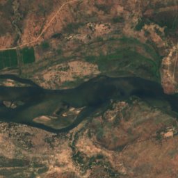
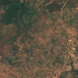
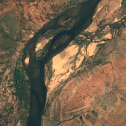
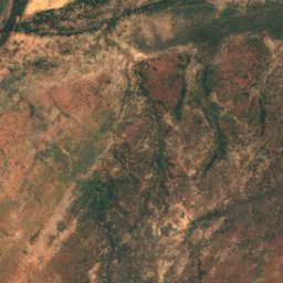
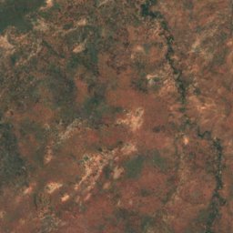
القمر الصناعي: Sentinel-2 cloudless 2016 من EOX IT Services GmbH · CC BY 4.0 · يتضمن بيانات Copernicus Sentinel (2016) معدّلة
Kanyemba Island
Chirundu, Mashonaland West
378 م
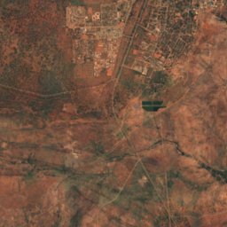
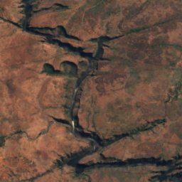
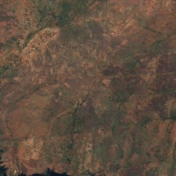
القمر الصناعي: Sentinel-2 cloudless 2016 من EOX IT Services GmbH · CC BY 4.0 · يتضمن بيانات Copernicus Sentinel (2016) معدّلة
Cataract Island
Victoria Falls, Matabeleland North
887 م
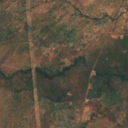
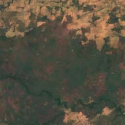
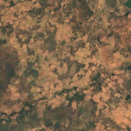
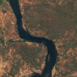
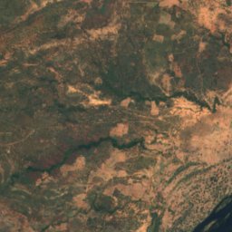
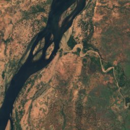
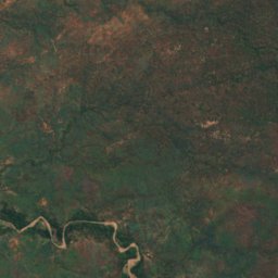
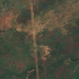
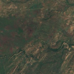
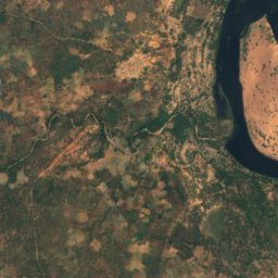
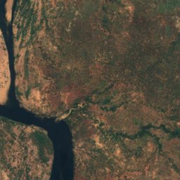
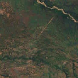
القمر الصناعي: Sentinel-2 cloudless 2016 من EOX IT Services GmbH · CC BY 4.0 · يتضمن بيانات Copernicus Sentinel (2016) معدّلة
Chirinde
Kariba, Mashonaland West
376 م
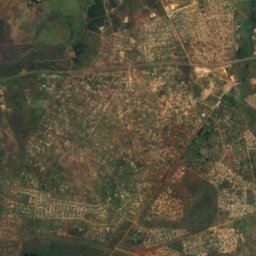
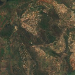
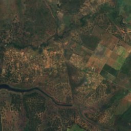
القمر الصناعي: Sentinel-2 cloudless 2016 من EOX IT Services GmbH · CC BY 4.0 · يتضمن بيانات Copernicus Sentinel (2016) معدّلة
Dassie Island
Norton, Mashonaland West
1,366 م
القمر الصناعي: Sentinel-2 cloudless 2016 من EOX IT Services GmbH · CC BY 4.0 · يتضمن بيانات Copernicus Sentinel (2016) معدّلة
Hydro Island
Norton, Mashonaland West
1,366 م
القائمة الكاملة: الجزر (25)
- Canary Island
- Cataract Island
- Chirinde
- Dassie Island
- Hydro Island
- Kabwatu Island
- Kalai Island
- Kanyemba Island
- Maile Island
- Mzambara Island
- Namakabwa Island
- Nanvuvu Island
- Nyakarura
- Nyamuomba Island
- Nyangombe Island
- Princess Christian Island
- Princess Elizabeth Island
- Princess Margaret Island
- Princess Marie Louise Island
- Princess Victoria Island
- Redcliff Island
- Remembrance Island
- Siloka Island
- Tsetse Island
- Zebra Island
الكهوف
الكهوف في زيمبابوي

الأنهار
الأنهار في زيمبابوي

الصورة: Paulmaz at English Wikipedia · CC BY-SA 3.0 · Wikimedia Commonsأبلغ عن هذه الصورة · بالرابط، دون تخزين
نهر كافوي
Chirundu, Mashonaland West

الصورة: Babakathy at English Wikipedia · Public domain · Wikimedia Commonsأبلغ عن هذه الصورة · بالرابط، دون تخزين
Insiza River
Filabusi, Matabeleland South Province

الصورة: Babakathy at English Wikipedia · Public domain · Wikimedia Commonsأبلغ عن هذه الصورة · بالرابط، دون تخزين
Mtshabezi River
Gwanda, Matabeleland South Province
895 م
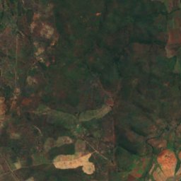
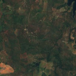
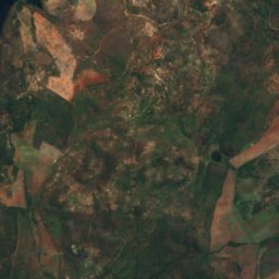
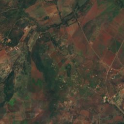
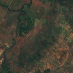
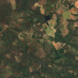
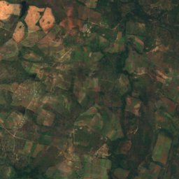
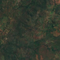
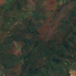
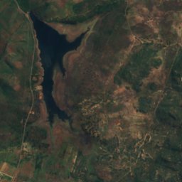
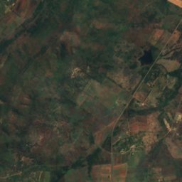
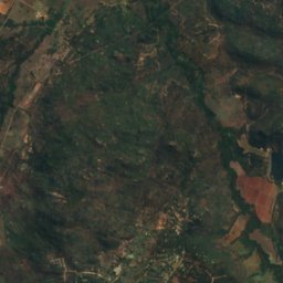
القمر الصناعي: Sentinel-2 cloudless 2016 من EOX IT Services GmbH · CC BY 4.0 · يتضمن بيانات Copernicus Sentinel (2016) معدّلة
Mazowe River
Mazowe, Mashonaland Central
القمر الصناعي: Sentinel-2 cloudless 2016 من EOX IT Services GmbH · CC BY 4.0 · يتضمن بيانات Copernicus Sentinel (2016) معدّلة
Kwekwe River
Bulawayo, Bulawayo
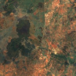
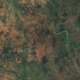
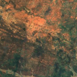
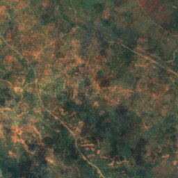
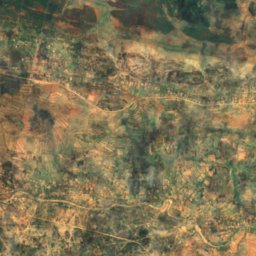
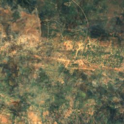
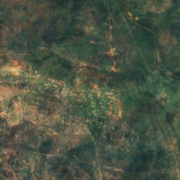
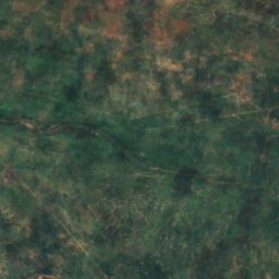
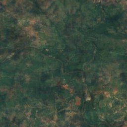
القمر الصناعي: Sentinel-2 cloudless 2016 من EOX IT Services GmbH · CC BY 4.0 · يتضمن بيانات Copernicus Sentinel (2016) معدّلة
Ncema River
Mbalabala, Matabeleland South Province
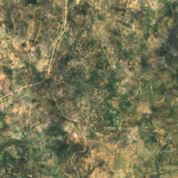
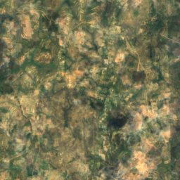
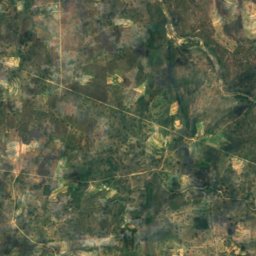
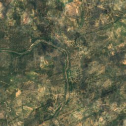
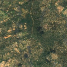
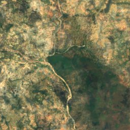
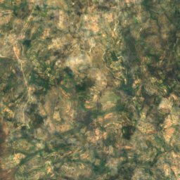
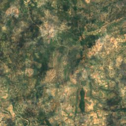
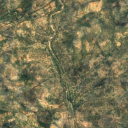
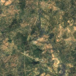
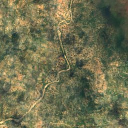
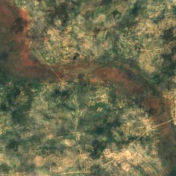
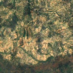
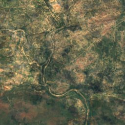
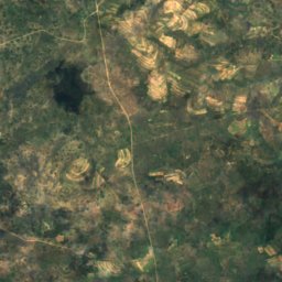
القمر الصناعي: Sentinel-2 cloudless 2016 من EOX IT Services GmbH · CC BY 4.0 · يتضمن بيانات Copernicus Sentinel (2016) معدّلة
Tokwane River
Mashava, Masvingo Province
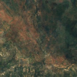
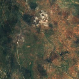
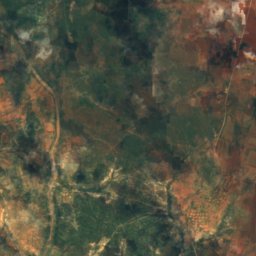
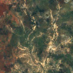
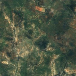
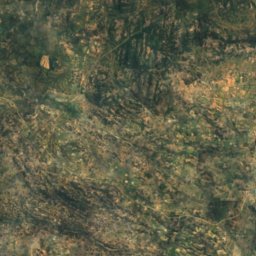
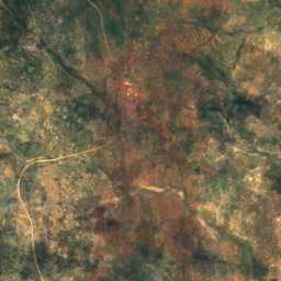
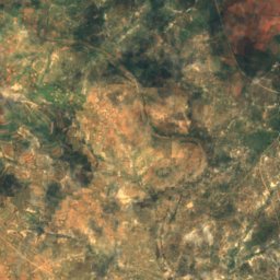
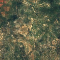
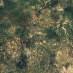
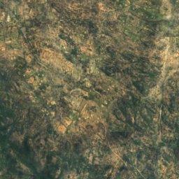
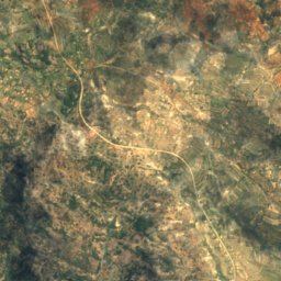
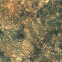
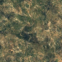
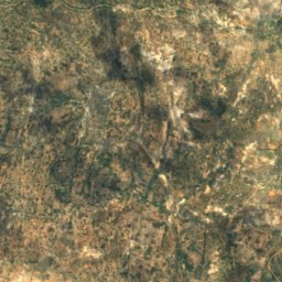


القمر الصناعي: Sentinel-2 cloudless 2016 من EOX IT Services GmbH · CC BY 4.0 · يتضمن بيانات Copernicus Sentinel (2016) معدّلة
Inkankezi River
Filabusi, Matabeleland South Province
القمر الصناعي: Sentinel-2 cloudless 2016 من EOX IT Services GmbH · CC BY 4.0 · يتضمن بيانات Copernicus Sentinel (2016) معدّلة
Mpopoma (Kame)
Bulawayo, Bulawayo