
Photo: YoTuT from United States · CC BY 2.0 · Wikimedia Commons
Mabira ForestReport this photo · linked, not stored
Mabira ForestReport this photo · linked, not stored
forest reserveBuikwe, Central Region
Mabira Forest
National Cultural Site of Uganda
Typeforest reserve
Built–
Best monthsJan–Feb · Julweather in Buikwe
0.40° N, 33.02° EUTC+3 · East Africa Time
When to goBuikwe · weather score
Best timeJan–Feb · Jul
October: high / low24° / 18°
iAbout
Mabira Forest in brief
Mabira Forest is a forest reserve in Buikwe, Central Region, Uganda. Protected area.
It holds the designation National Cultural Site of Uganda.
For a visit, the weather in Buikwe is best in January, February and July; in October afternoons average 24°.
Facts
- Type
- forest reserve
- Designation
- National Cultural Site of Uganda
- Nearest town
- Buikwe
- Region
- Central Region
- Coordinates
- 0.39833, 33.01640
iiLocation
Where to find it
iiiWhen to visit
Climate guideWeather in Buikwe
Month score for sightseeing
Best Jan–Feb · Jul64
Jan
63
Feb
55
Mar
50
Apr
54
May
61
Jun
62
Jul
61
Aug
58
Sep
52
Oct
52
Nov
58
Dec
Around here
Buikwe and around

Photo: YoTuT from United States · CC BY 2.0 · Wikimedia CommonsReport this photo · linked, not stored
Buikwe
Central Region · Uganda
Jan–Feb · Julbest months
23°July high
1,230 maltitude
Nature
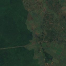
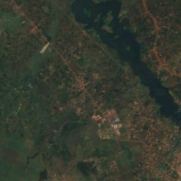
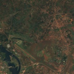
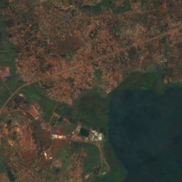
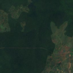
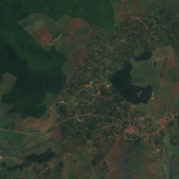
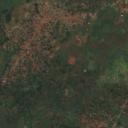
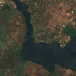
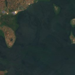
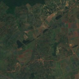
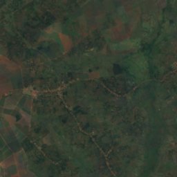
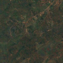
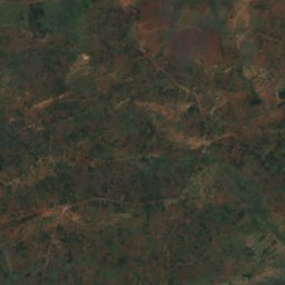
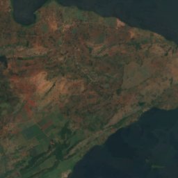
Satellite: Sentinel-2 cloudless 2016 by EOX IT Services GmbH · CC BY 4.0 · Contains modified Copernicus Sentinel data 2016
White Nile
River · 350 m
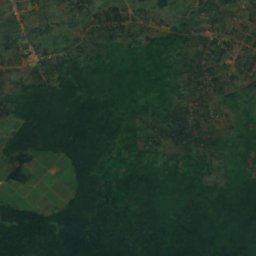
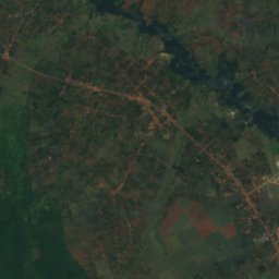
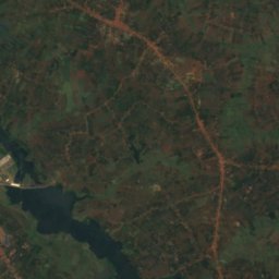
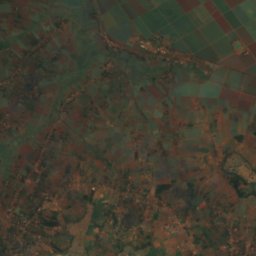
Satellite: Sentinel-2 cloudless 2016 by EOX IT Services GmbH · CC BY 4.0 · Contains modified Copernicus Sentinel data 2016
Owen Falls
Waterfall


