

Photo: These images were created by Amonet. When reusing, please credit the author as: · CC BY-SA 3.0 · Wikimedia Commons
SihoťReport this photo · linked, not stored
SihoťSihoťReport this photo · linked, not stored
 Lake IV

Photo: Wizzard · Public domain · Wikimedia Commons
Malý DraždiakReport this photo · linked, not stored
Malý DraždiakMalý DraždiakReport this photo · linked, not stored

Photo: Wizzard · CC BY-SA 3.0 · Wikimedia Commons
Veľký DraždiakReport this photo · linked, not stored
Veľký DraždiakVeľký DraždiakReport this photo · linked, not stored
RiverKarlova Ves, Bratislava Region
Vydrica
RiverBest Apr–May · Sep
Elevation–above sea level
Length17 kmsource to mouth
Nearest townKarlova Ves1.8 km
48.14° N, 17.07° EUTC+2 · Central European Summer Time
When to goKarlova Ves · weather score
Best timeApr–May · Sep
October: high / low15° / 7°
River
Vydrica in brief
Vydrica is a river in Karlova Ves, Bratislava Region, Slovakia.
The nearest town in the atlas is Karlova Ves, 1.8 km to the NW, where the weather is best in April, May and September.
Vydrica is 17 km long.
Weather nearby now
Forecast for Karlova Ves13°
Sunny now
Today
22 Oct
14°
6°
6 mm
Fri
23 Oct
15°
5°
Sat
24 Oct
12°
5°
Sun
25 Oct
13°
4°
4 mm
Mon
26 Oct
15°
5°
Model run 00:00 UTCRefreshed several times a day
Map
Vydrica from above
Nature nearbyAll of Slovakia

Photo: These images were created by Amonet. When reusing, please credit the author as: · CC BY-SA 3.0 · Wikimedia CommonsReport this photo · linked, not stored


Photo: Rado Bahna~commonswiki · Public domain · Wikimedia CommonsReport this photo · linked, not stored
Summits nearbyMountains of Slovakia

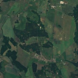
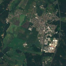
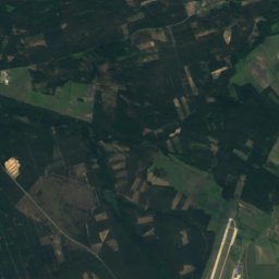
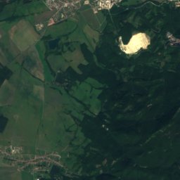
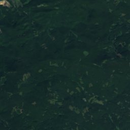
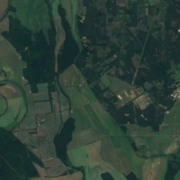
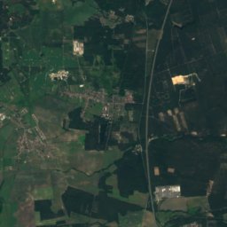
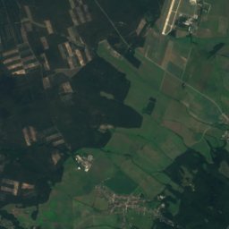
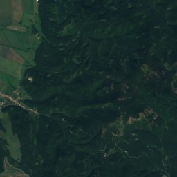
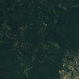
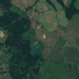
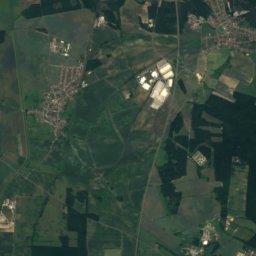
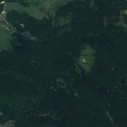
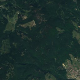
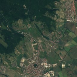
Satellite: Sentinel-2 cloudless 2016 by EOX IT Services GmbH · CC BY 4.0 · Contains modified Copernicus Sentinel data 2016

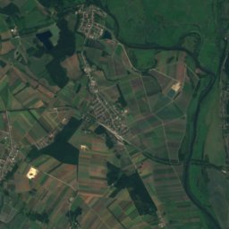
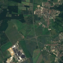
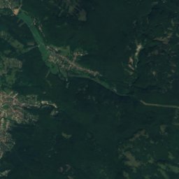
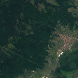
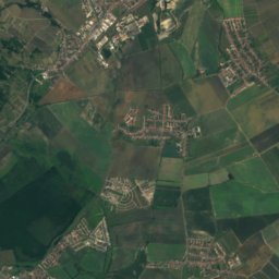
Satellite: Sentinel-2 cloudless 2016 by EOX IT Services GmbH · CC BY 4.0 · Contains modified Copernicus Sentinel data 2016


Stay nearby
Towns close by


Photo: Rob Hurson from Kentstown, Ireland · CC BY-SA 2.0 · Wikimedia CommonsReport this photo · linked, not stored
Bratislava
Bratislava Region · 2.5 km E
15°Oct high
8wet days
64score


Around here
Karlova Ves and around
Nature
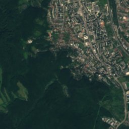
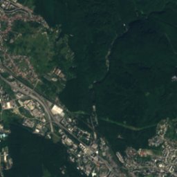
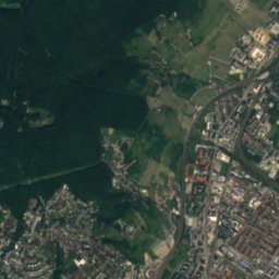
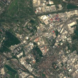
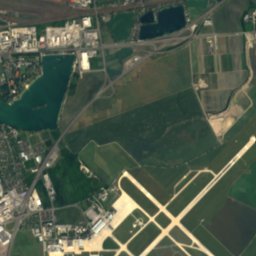
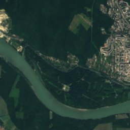
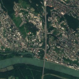
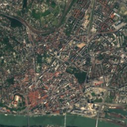
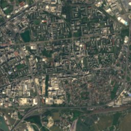
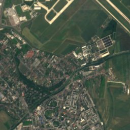
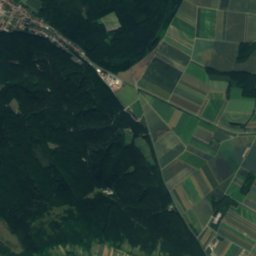
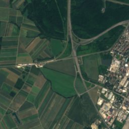
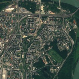
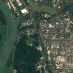
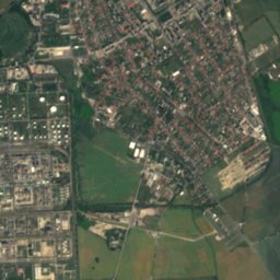
Satellite: Sentinel-2 cloudless 2016 by EOX IT Services GmbH · CC BY 4.0 · Contains modified Copernicus Sentinel data 2016
Little Danube
River
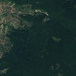
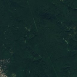
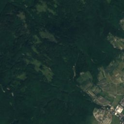
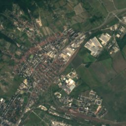
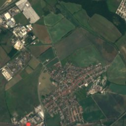
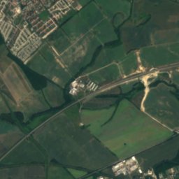
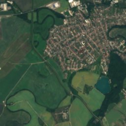
Satellite: Sentinel-2 cloudless 2016 by EOX IT Services GmbH · CC BY 4.0 · Contains modified Copernicus Sentinel data 2016
Zlaté Piesky
Lake · 128 m

Mountains
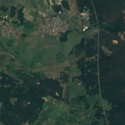
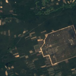
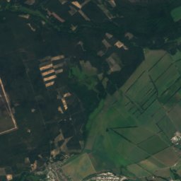
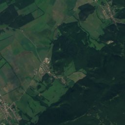
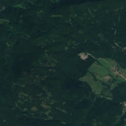
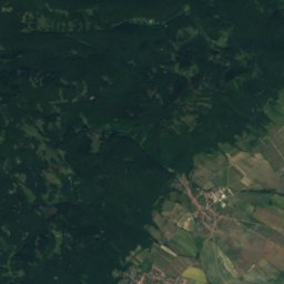
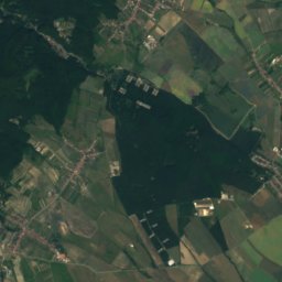
Satellite: Sentinel-2 cloudless 2016 by EOX IT Services GmbH · CC BY 4.0 · Contains modified Copernicus Sentinel data 2016
Vysoká (Little Carpathians)
754 m · Little Carpathians
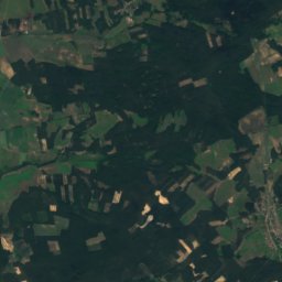
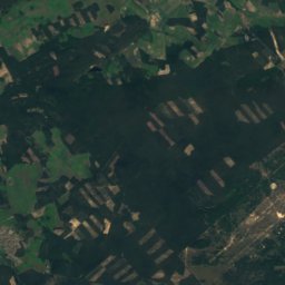
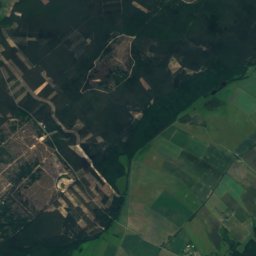
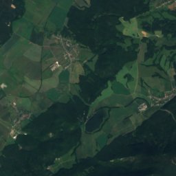
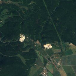
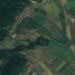
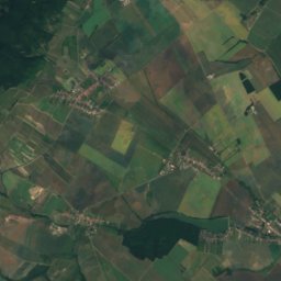
Satellite: Sentinel-2 cloudless 2016 by EOX IT Services GmbH · CC BY 4.0 · Contains modified Copernicus Sentinel data 2016
Vápenná
752 m · Little Carpathians
Satellite: Sentinel-2 cloudless 2016 by EOX IT Services GmbH · CC BY 4.0 · Contains modified Copernicus Sentinel data 2016
Čertov kopec
752 m · Little Carpathians
Heritage

Albrecht, Mudroňova, Bratislava
Cultural Heritage Monuments of Slovakia

Church of St. Elisabeth
Cultural Heritage Monuments of Slovakia · 2000


