
Photo: Wizzard · CC BY-SA 3.0 · Wikimedia Commons
Veľký DraždiakReport this photo · linked, not stored
Veľký DraždiakReport this photo · linked, not stored

Photo: Wizzard · Public domain · Wikimedia Commons
Malý DraždiakReport this photo · linked, not stored
Malý DraždiakMalý DraždiakReport this photo · linked, not stored
 Vydrica

Photo: Rado Bahna~commonswiki · Public domain · Wikimedia Commons
Štrkovecké jazeroReport this photo · linked, not stored
Štrkovecké jazeroŠtrkovecké jazeroReport this photo · linked, not stored

Photo: These images were created by Amonet. When reusing, please credit the author as: · CC BY-SA 3.0 · Wikimedia Commons
SihoťReport this photo · linked, not stored
SihoťSihoťReport this photo · linked, not stored
LakePetržalka, Bratislava Region
Veľký Draždiak
Lake131 m elevationBest Apr–May · Sep
Elevation131 mabove sea level
Area0.2 km²surface
Nearest townPetržalka2.5 km
48.10° N, 17.11° EElevation 131 mUTC+2 · Central European Summer Time
When to goPetržalka · weather score
Best timeApr–May · Sep
October: high / low16° / 7°
Lake
Veľký Draždiak in brief
Veľký Draždiak is a lake in Petržalka, Bratislava Region, Slovakia.
It lies at 131 m above sea level and covers about 0.2 km².
The nearest town in the atlas is Petržalka, 2.5 km to the NE, where the weather is best in April, May and September.
Weather nearby now
Forecast for Petržalka14°
Sunny now
Today
22 Oct
14°
7°
7 mm
Fri
23 Oct
16°
4°
Sat
24 Oct
12°
7°
Sun
25 Oct
13°
3°
4 mm
Mon
26 Oct
16°
7°
Model run 00:00 UTCRefreshed several times a day
The lake's water
Surface, average depth and volume of the lake, and the length of its shore.Surface0.2 km²
Average depth2 m
Volume0 million m³
Shoreline1.8 km
Map
Veľký Draždiak from above
Nature nearbyAll of Slovakia

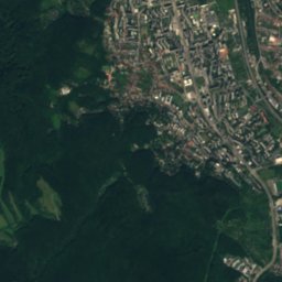
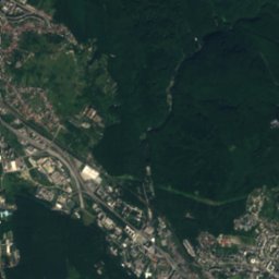
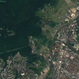
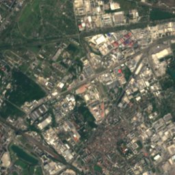
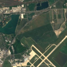
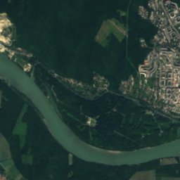
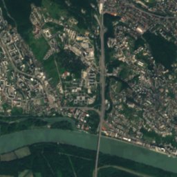
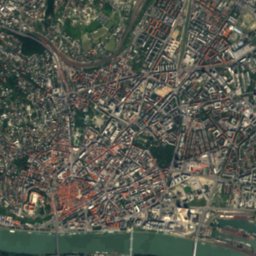
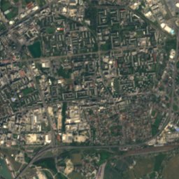
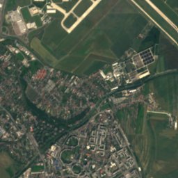
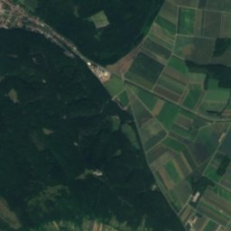
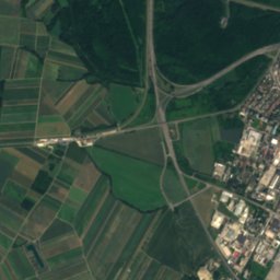
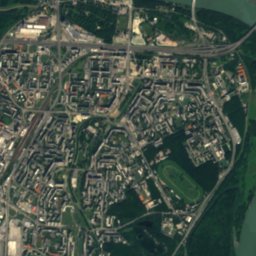
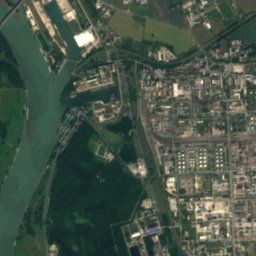
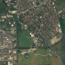
Satellite: Sentinel-2 cloudless 2016 by EOX IT Services GmbH · CC BY 4.0 · Contains modified Copernicus Sentinel data 2016


Photo: Rado Bahna~commonswiki · Public domain · Wikimedia CommonsReport this photo · linked, not stored

Photo: These images were created by Amonet. When reusing, please credit the author as: · CC BY-SA 3.0 · Wikimedia CommonsReport this photo · linked, not stored

Summits nearbyMountains of Slovakia


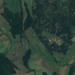
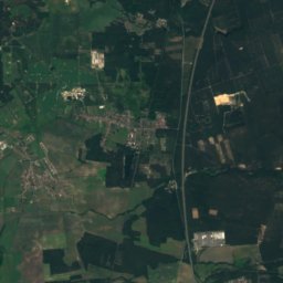
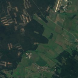
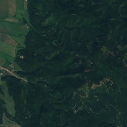
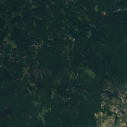
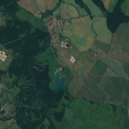
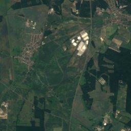
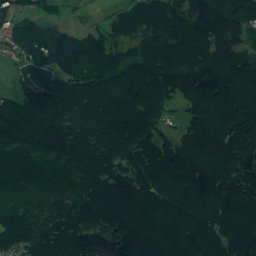
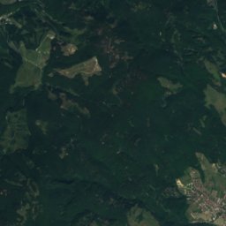
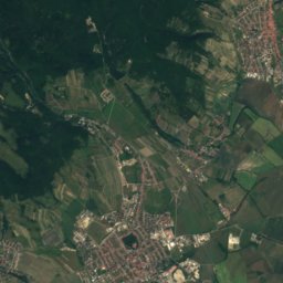
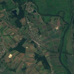
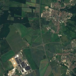
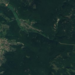
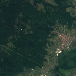
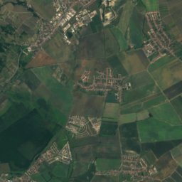
Satellite: Sentinel-2 cloudless 2016 by EOX IT Services GmbH · CC BY 4.0 · Contains modified Copernicus Sentinel data 2016


Stay nearby
Towns close by


Photo: Rob Hurson from Kentstown, Ireland · CC BY-SA 2.0 · Wikimedia CommonsReport this photo · linked, not stored
Bratislava
Bratislava Region · 4.9 km N
15°Oct high
8wet days
64score
Around here
Petržalka and around
Nature
Satellite: Sentinel-2 cloudless 2016 by EOX IT Services GmbH · CC BY 4.0 · Contains modified Copernicus Sentinel data 2016
Little Danube
River
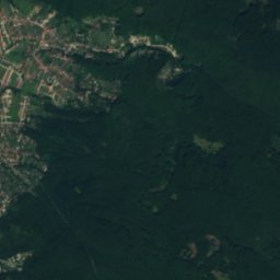
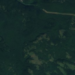
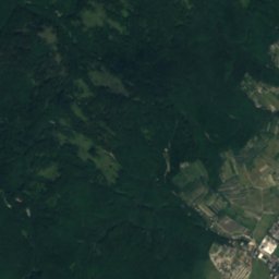
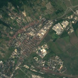
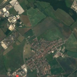
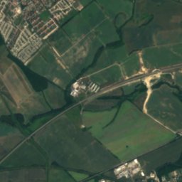
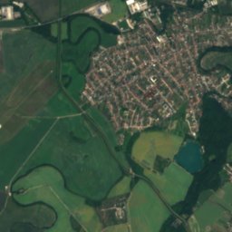
Satellite: Sentinel-2 cloudless 2016 by EOX IT Services GmbH · CC BY 4.0 · Contains modified Copernicus Sentinel data 2016
Zlaté Piesky
Lake · 128 m
Mountains
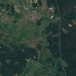
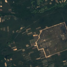
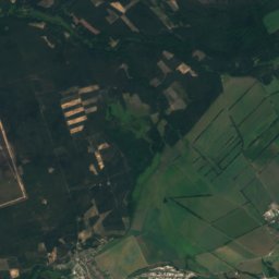
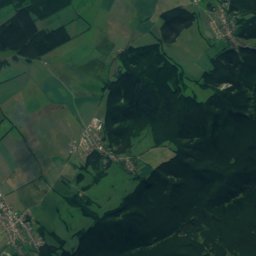
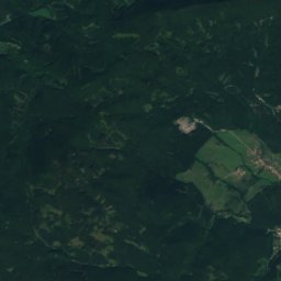
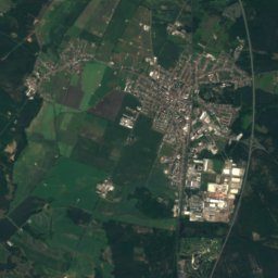
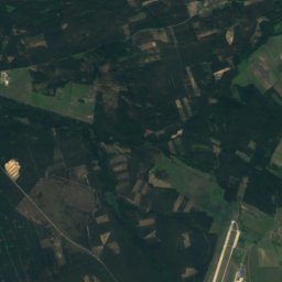
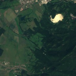
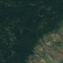
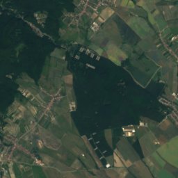
Satellite: Sentinel-2 cloudless 2016 by EOX IT Services GmbH · CC BY 4.0 · Contains modified Copernicus Sentinel data 2016
Vysoká (Little Carpathians)
754 m · Little Carpathians
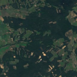
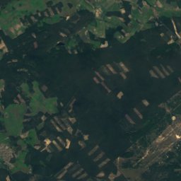
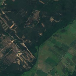
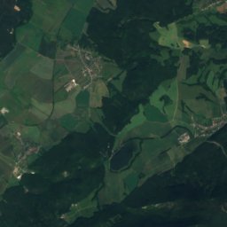
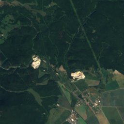
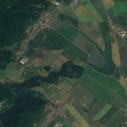
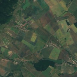
Satellite: Sentinel-2 cloudless 2016 by EOX IT Services GmbH · CC BY 4.0 · Contains modified Copernicus Sentinel data 2016
Vápenná
752 m · Little Carpathians
Satellite: Sentinel-2 cloudless 2016 by EOX IT Services GmbH · CC BY 4.0 · Contains modified Copernicus Sentinel data 2016
Čertov kopec
752 m · Little Carpathians
Heritage

Church of St. Elisabeth
Cultural Heritage Monuments of Slovakia · 2000


