Skip to content
Destinations
Weather & climate
Nature
Outdoors
Culture
Events
Sky & live
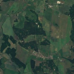
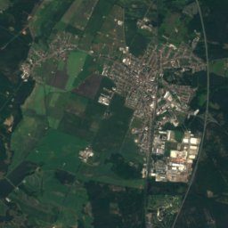
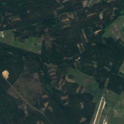
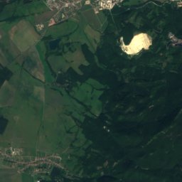
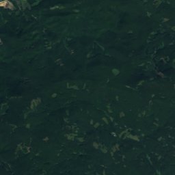
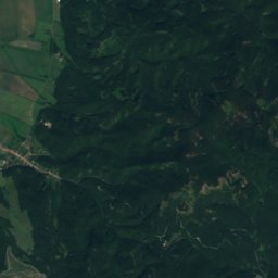
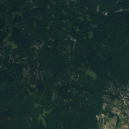
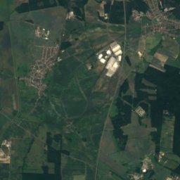
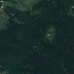
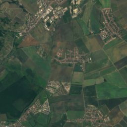
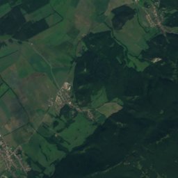
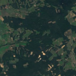
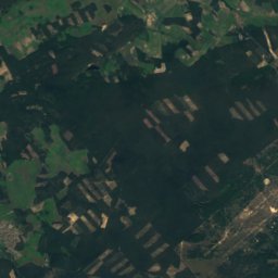
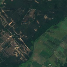
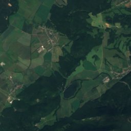
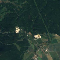
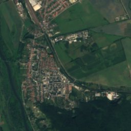
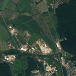
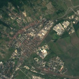
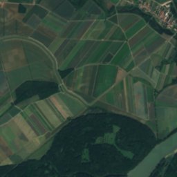
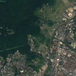
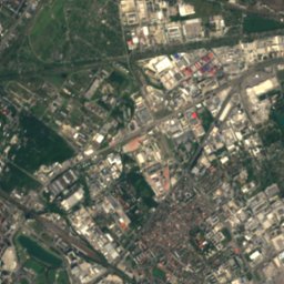
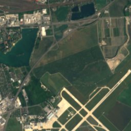
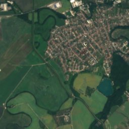
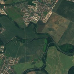
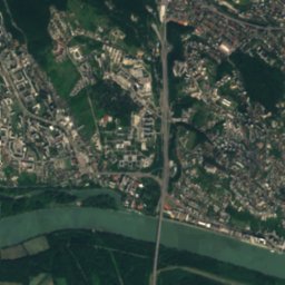
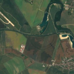
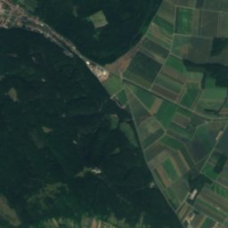
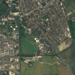
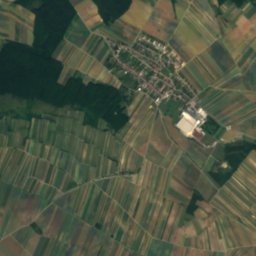
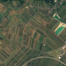
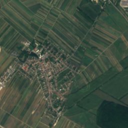
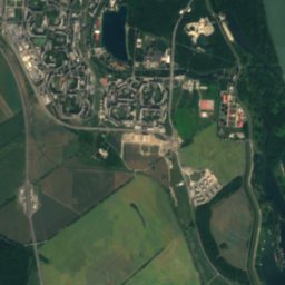
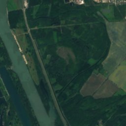
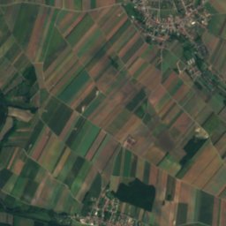
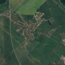
Satellite: Sentinel-2 cloudless 2016 by EOX IT Services GmbH · CC BY 4.0 · Contains modified Copernicus Sentinel data 2016
Malý Draždiak
Photo: Wizzard · Public domain · Wikimedia Commons
Malý DraždiakReport this photo · linked, not stored
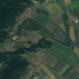
Malý Draždiak
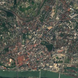
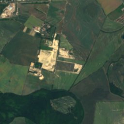
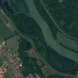
Štrkovecké jazero
Photo: Rado Bahna~commonswiki · Public domain · Wikimedia Commons
Štrkovecké jazeroReport this photo · linked, not stored
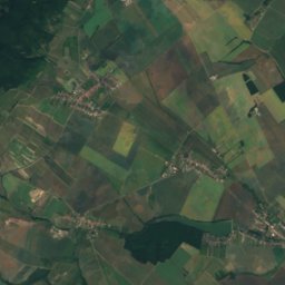
Štrkovecké jazero
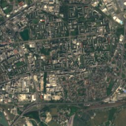
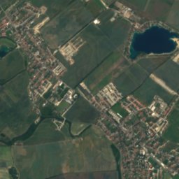
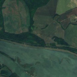
Veľký Draždiak
Photo: Wizzard · CC BY-SA 3.0 · Wikimedia Commons
Veľký DraždiakReport this photo · linked, not stored
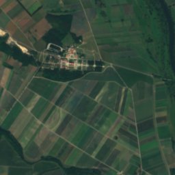
Veľký Draždiak
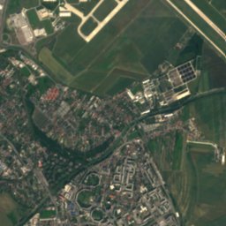
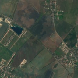
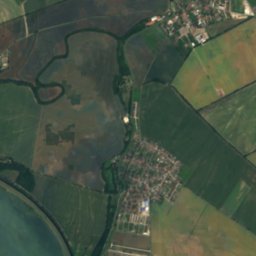
Kuchajda
Photo: Svetovid · CC BY-SA 3.0 · Wikimedia Commons
KuchajdaReport this photo · linked, not stored
Kuchajda
RiverPetržalka, Bratislava Region

Little Danube

RiverBest Apr–May · Sep
Elevation–above sea level
Length128 kmsource to mouth
Nearest townPetržalka1.8 km
48.13° N, 17.15° EUTC+2 · Central European Summer Time
When to goPetržalka · weather score
JanFebMarAprMayJunJulAugSepOctNovDec65October
Best timeApr–May · Sep
October: high / low16° / 7°
River

Little Danube in brief

Little Danube is a river in Petržalka, Bratislava Region, Slovakia.

The nearest town in the atlas is Petržalka, 1.8 km to the W, where the weather is best in April, May and September.

Little Danube is 128 km long.

Petržalka: weather and travel guide

Weather nearby now

Forecast for Petržalka
14°
Sunny now
Wind12 km/h
Humidity51%
Cloud cover9%
Today
22 Oct
14°
7°
7 mm
Fri
23 Oct
16°
4°
Sat
24 Oct
12°
7°
Sun
25 Oct
13°
3°
4 mm
Mon
26 Oct
16°
7°

Model run 00:00 UTCRefreshed several times a day

The course of the river

As mapped in OpenStreetMap, with the towns of the atlas along its banks.
1234567891011121314
  1. 1Petržalka141 m
  2. 2Podunajské Biskupice133 m
  3. 3Vrakuňa134 m
  4. 4Most pri Bratislave130 m
  5. 5Malinovo129 m
  6. 6Bernolákovo141 m
  7. 7Tomášov127 m
  8. 8Vlky126 m
  9. 9Hrubý Šúr124 m
  10. 10Kostolná pri Dunaji124 m
  11. 11Jelka121 m
  12. 12Trstice109 m
  13. 13Topoľníky110 m
  14. 14Kolárovo109 m
sourcemouth (or where the mapped line leaves the country)
When to go

The best months around Little Danube

Climate of Petržalka

Month score in Petržalka

Comfort, dry days and sunshine · out of 100
Map

Little Danube from above

Nature nearbyAll of Slovakia
Photo: Wizzard · Public domain · Wikimedia CommonsReport this photo · linked, not stored
Malý DraždiakLake3.1 kmSWMalý Draždiak
Photo: Rado Bahna~commonswiki · Public domain · Wikimedia CommonsReport this photo · linked, not stored
Štrkovecké jazeroLake3.3 kmNŠtrkovecké jazero
Photo: Wizzard · CC BY-SA 3.0 · Wikimedia CommonsReport this photo · linked, not stored
Veľký DraždiakLake4.0 kmSWVeľký Draždiak
Photo: Svetovid · CC BY-SA 3.0 · Wikimedia CommonsReport this photo · linked, not stored
KuchajdaLake4.6 kmNKuchajda
Photo: Wizzard · CC BY-SA 3.0 · Wikimedia CommonsReport this photo · linked, not stored
VydricaRiver6.0 kmWVydrica
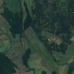
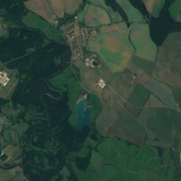
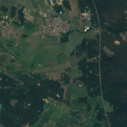
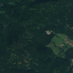
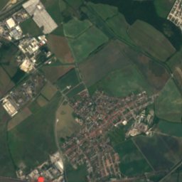
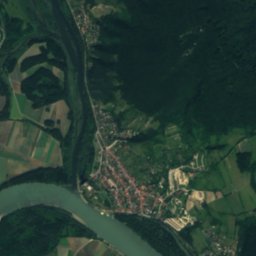
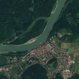
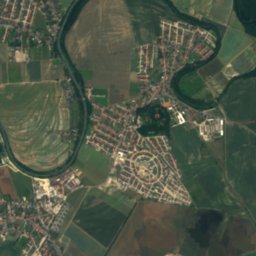
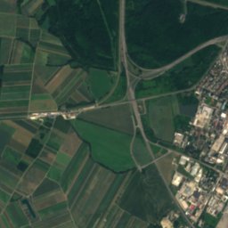
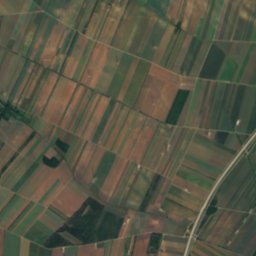
Satellite: Sentinel-2 cloudless 2016 by EOX IT Services GmbH · CC BY 4.0 · Contains modified Copernicus Sentinel data 2016
Zlaté PieskyLake6.9 kmNEZlaté Piesky
Summits nearbyMountains of Slovakia
Photo: Lure · CC BY-SA 4.0 · Wikimedia CommonsReport this photo · linked, not stored
Somár20 km N650 mJuly 25°Somár
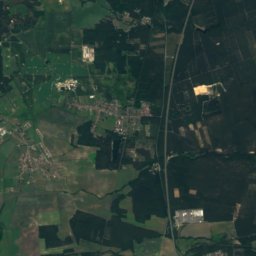
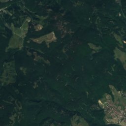
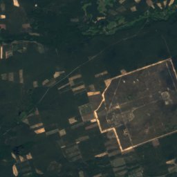
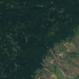
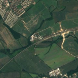
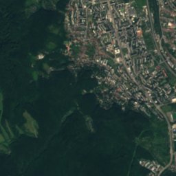
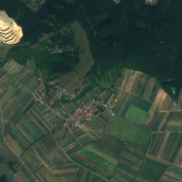
Satellite: Sentinel-2 cloudless 2016 by EOX IT Services GmbH · CC BY 4.0 · Contains modified Copernicus Sentinel data 2016
Konské hlavy23 km N649 mJuly 25°Konské hlavy
Photo: Tomáš Bartovič · CC BY 4.0 · Wikimedia CommonsReport this photo · linked, not stored
Veľký Javorník, Bratislava Region15 km N594 mJuly 25°Veľký Javorník, Bratislava Region
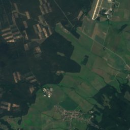
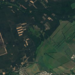
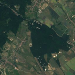
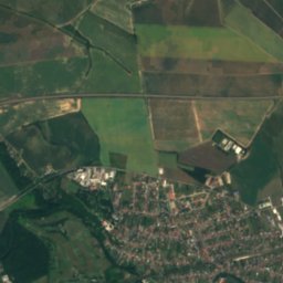
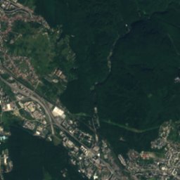
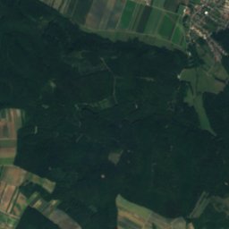
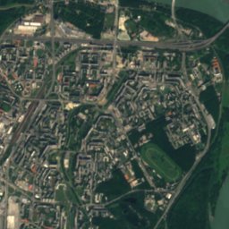
Satellite: Sentinel-2 cloudless 2016 by EOX IT Services GmbH · CC BY 4.0 · Contains modified Copernicus Sentinel data 2016
Malý Javorník, Bratislava Region14 km N584 mJuly 25°Malý Javorník, Bratislava Region
Photo: Svetovid · CC BY-SA 3.0 · Wikimedia CommonsReport this photo · linked, not stored
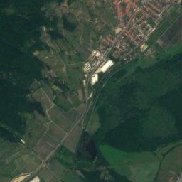
Devínska Kobyla13 km NW514 mJuly 26°Devínska Kobyla
Photo: Geof · CC BY-SA 3.0 · Wikimedia CommonsReport this photo · linked, not stored
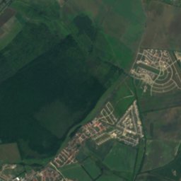
Hundsheimer Berg16 km W480 mJuly 26°Hundsheimer Berg
Stay nearby

Towns close by

Petržalka
Photo: Marc Ryckaert (MJJR) · CC BY 3.0 · Wikimedia CommonsReport this photo · linked, not stored

Petržalka

Bratislava Region · 1.8 km W
16°Oct high
8wet days
65score
Petržalka
Bratislava
Photo: Rob Hurson from Kentstown, Ireland · CC BY-SA 2.0 · Wikimedia CommonsReport this photo · linked, not stored

Bratislava

Bratislava Region · 4.0 km NW
15°Oct high
8wet days
64score
Bratislava
Podunajské Biskupice
Photo: ANDREJ NEUHERZ · CC BY-SA 3.0 · Wikimedia CommonsReport this photo · linked, not stored

Podunajské Biskupice

Bratislava Region · 4.4 km E
16°Oct high
8wet days
66score
Podunajské Biskupice
Vrakuňa
Photo: Wizzard · CC BY-SA 3.0 · Wikimedia CommonsReport this photo · linked, not stored

Vrakuňa

Bratislava Region · 4.4 km E
16°Oct high
8wet days
65score
Vrakuňa
Around here

Petržalka and around

Petržalka
Photo: Marc Ryckaert (MJJR) · CC BY 3.0 · Wikimedia CommonsReport this photo · linked, not stored

Petržalka

Bratislava Region · Slovakia
Apr–May · Sepbest months
28°July high
141 maltitude
Petržalka

Nature

Vydrica
Photo: Wizzard · CC BY-SA 3.0 · Wikimedia CommonsReport this photo · linked, not stored
4.7 km NW

Vydrica

River
Vydrica
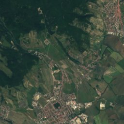
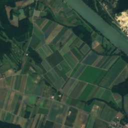
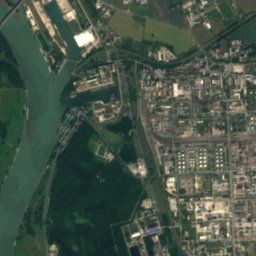
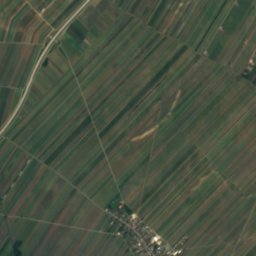
Satellite: Sentinel-2 cloudless 2016 by EOX IT Services GmbH · CC BY 4.0 · Contains modified Copernicus Sentinel data 2016
8.2 km NE

Zlaté Piesky

Lake · 128 m
Zlaté Piesky
Kuchajda
Photo: Svetovid · CC BY-SA 3.0 · Wikimedia CommonsReport this photo · linked, not stored
5.3 km N

Kuchajda

Lake
Kuchajda

Mountains

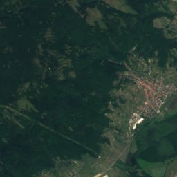
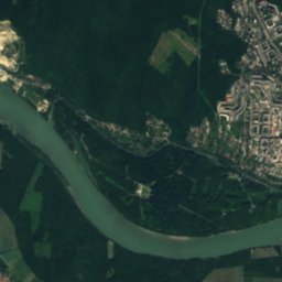
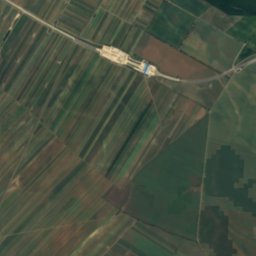
Satellite: Sentinel-2 cloudless 2016 by EOX IT Services GmbH · CC BY 4.0 · Contains modified Copernicus Sentinel data 2016
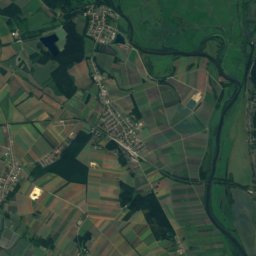
33 km N

Vysoká (Little Carpathians)

754 m · Little Carpathians
Vysoká (Little Carpathians)
Satellite: Sentinel-2 cloudless 2016 by EOX IT Services GmbH · CC BY 4.0 · Contains modified Copernicus Sentinel data 2016
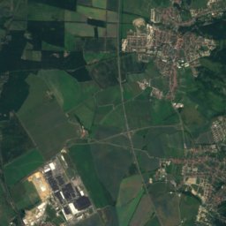
39 km N

Vápenná

752 m · Little Carpathians
Vápenná
Satellite: Sentinel-2 cloudless 2016 by EOX IT Services GmbH · CC BY 4.0 · Contains modified Copernicus Sentinel data 2016
29 km N

Čertov kopec

752 m · Little Carpathians
Čertov kopec

Heritage

Church of St. Elisabeth
Photo: Thomas Ledl · CC BY-SA 4.0 · Wikimedia CommonsReport this photo · linked, not stored
2.4 km N

Church of St. Elisabeth

Cultural Heritage Monuments of Slovakia · 2000
Church of St. Elisabeth
Primate's Palace
Photo: Diego Delso · CC BY-SA 4.0 · Wikimedia CommonsReport this photo · linked, not stored
2.7 km NW

Primate's Palace

Cultural Heritage Monuments of Slovakia · 1781
Primate's Palace
Bratislava Castle
Photo: C.Stadler/Bwag · CC BY-SA 4.0 · Wikimedia CommonsReport this photo · linked, not stored
3.0 km NW

Bratislava Castle

Cultural Heritage Monuments of Slovakia · 1431
Bratislava Castle

Museums

Slovak National Museum
Photo: Mister No · CC BY 3.0 · Wikimedia CommonsReport this photo · linked, not stored
2.2 km NW

Slovak National Museum

1961
Slovak National Museum
Slovak National Gallery
Photo: MelchiorSK · CC BY-SA 4.0 · Wikimedia CommonsReport this photo · linked, not stored
2.4 km NW

Slovak National Gallery

1948
Slovak National Gallery
Bratislava City Museum
Photo: Unknown author · CC BY-SA 3.0 · Wikimedia CommonsReport this photo · linked, not stored
2.7 km NW

Bratislava City Museum

City museum · 1868
Bratislava City Museum