
Photo: Sundar1 · CC BY-SA 3.0 · Wikimedia Commons
Trishuli RiverReport this photo · linked, not stored
Trishuli RiverReport this photo · linked, not stored

Photo: Q-lieb-in · CC BY-SA 4.0 · Wikimedia Commons
Langtang National ParkReport this photo · linked, not stored
Langtang National ParkLangtang National ParkReport this photo · linked, not stored

Photo: Stefanos Nikologianis · CC BY 2.0 · Wikimedia Commons
Langtang LirungReport this photo · linked, not stored
Langtang LirungLangtang LirungReport this photo · linked, not stored

Photo: Shree Krishna Dhital · CC BY-SA 3.0 · Wikimedia Commons
Gheṅge LiruReport this photo · linked, not stored
Gheṅge LiruGheṅge LiruReport this photo · linked, not stored

Photo: Anil Simkhada · CC BY-SA 3.0 · Wikimedia Commons
Naya KangaReport this photo · linked, not stored
Naya KangaNaya KangaReport this photo · linked, not stored
RiverBriddhim, Bagmati Province
Trishuli River
RiverBest Apr · Oct–Nov
Elevation–above sea level
Length163 kmsource to mouth
Nearest townBriddhim5.0 km
28.16° N, 85.34° EUTC+5:45 · Nepal Time
When to goBriddhim · weather score
Best timeApr · Oct–Nov
October: high / low16° / 6°
River
Trishuli River in brief
Trishuli River is a river in Briddhim, Bagmati Province, Nepal.
The nearest town in the atlas is Briddhim, 5.0 km to the NE, where the weather is best in April, October and November.
Trishuli River is 163 km long.
Weather nearby now
Forecast for Briddhim8°
Clear now
Today
22 Oct
18°
7°
Fri
23 Oct
17°
6°
Sat
24 Oct
17°
5°
Sun
25 Oct
18°
4°
Mon
26 Oct
18°
8°
Model run 00:00 UTCRefreshed several times a day
The course of the river
As mapped in OpenStreetMap, with the towns of the atlas along its banks.sourcemouth (or where the mapped line leaves the country)
When to go
Climate of BriddhimThe best months around Trishuli River
Month score in Briddhim
Comfort, dry days and sunshine · out of 10054
Jan
53
Feb
56
Mar
68
Apr
68
May
57
Jun
47
Jul
48
Aug
59
Sep
74
Oct
72
Nov
59
Dec
Map
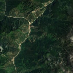
Trishuli River from above
Nature nearbyAll of Nepal
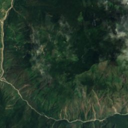
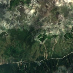
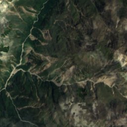
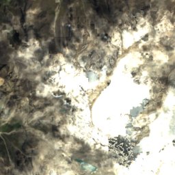
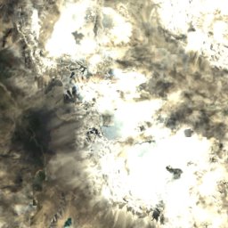
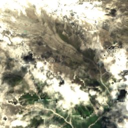
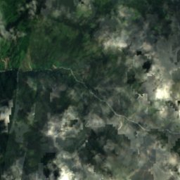
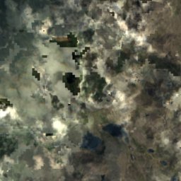
Satellite: Sentinel-2 cloudless 2016 by EOX IT Services GmbH · CC BY 4.0 · Contains modified Copernicus Sentinel data 2016

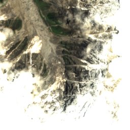
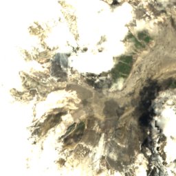
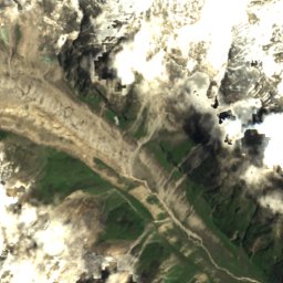
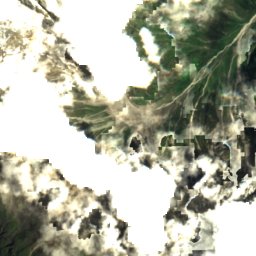
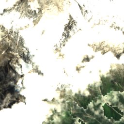
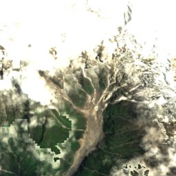
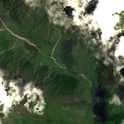
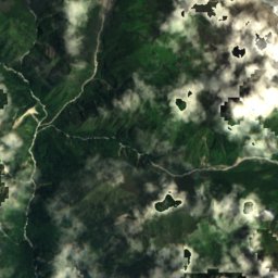
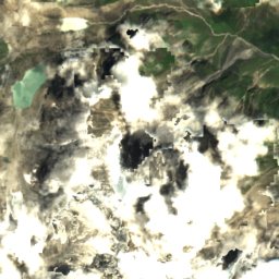
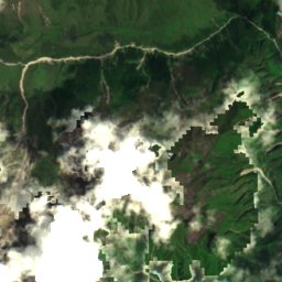
Satellite: Sentinel-2 cloudless 2016 by EOX IT Services GmbH · CC BY 4.0 · Contains modified Copernicus Sentinel data 2016
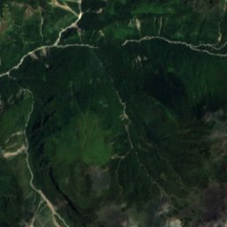
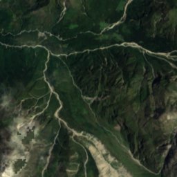
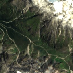
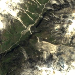
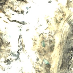
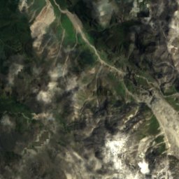
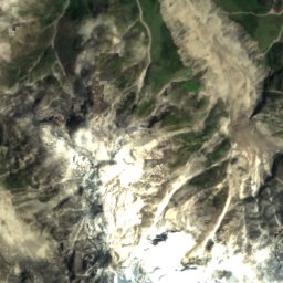
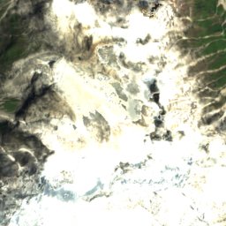
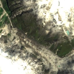
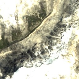
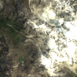
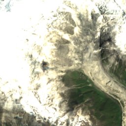
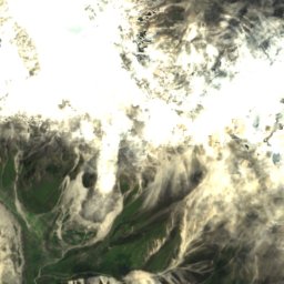
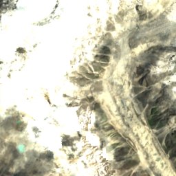
Satellite: Sentinel-2 cloudless 2016 by EOX IT Services GmbH · CC BY 4.0 · Contains modified Copernicus Sentinel data 2016
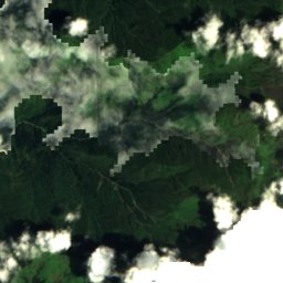
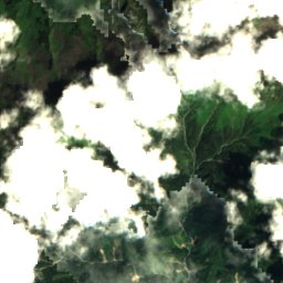
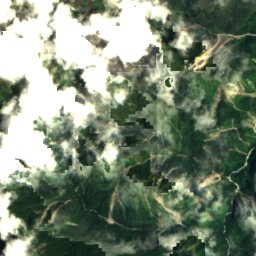
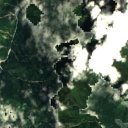
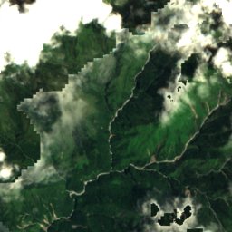
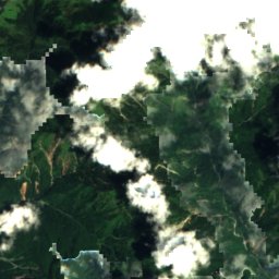
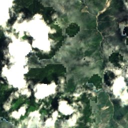
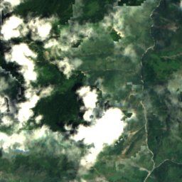
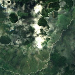
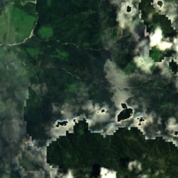
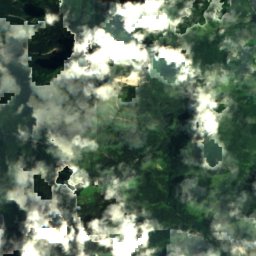
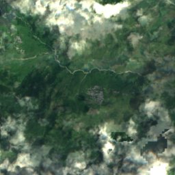
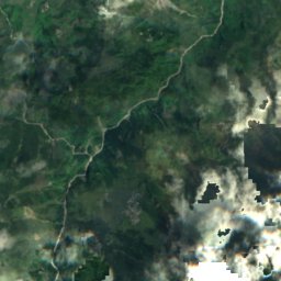
Satellite: Sentinel-2 cloudless 2016 by EOX IT Services GmbH · CC BY 4.0 · Contains modified Copernicus Sentinel data 2016
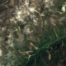
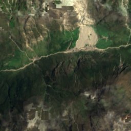
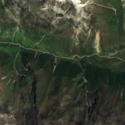
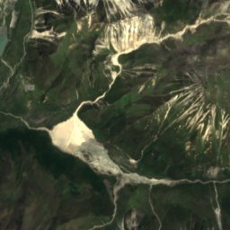
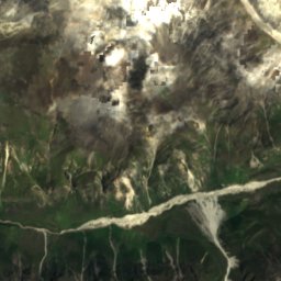
Satellite: Sentinel-2 cloudless 2016 by EOX IT Services GmbH · CC BY 4.0 · Contains modified Copernicus Sentinel data 2016
Summits nearbyMountains of Nepal

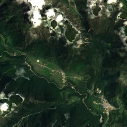
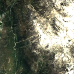
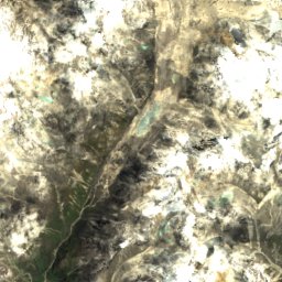
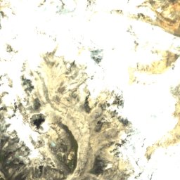
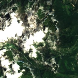
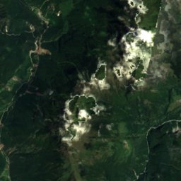
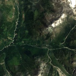
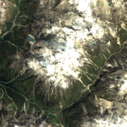
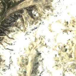
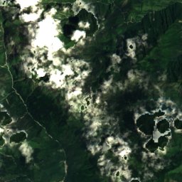
Satellite: Sentinel-2 cloudless 2016 by EOX IT Services GmbH · CC BY 4.0 · Contains modified Copernicus Sentinel data 2016

Photo: Shree Krishna Dhital · CC BY-SA 3.0 · Wikimedia CommonsReport this photo · linked, not stored
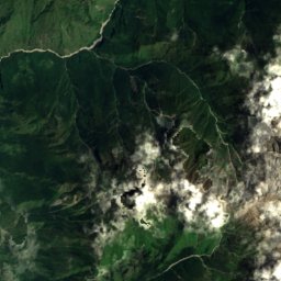
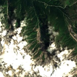
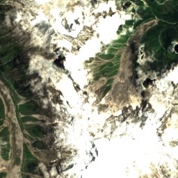
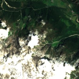
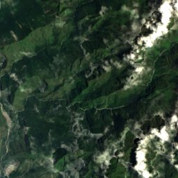
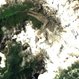
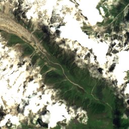
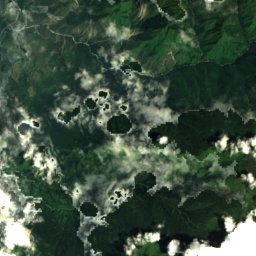
Satellite: Sentinel-2 cloudless 2016 by EOX IT Services GmbH · CC BY 4.0 · Contains modified Copernicus Sentinel data 2016


Photo: Finnish Scouts Nepal Expedition 2010 · CC BY 3.0 · Wikimedia CommonsReport this photo · linked, not stored


Around here
Briddhim and around
Nature
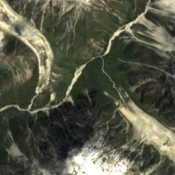
Satellite: Sentinel-2 cloudless 2016 by EOX IT Services GmbH · CC BY 4.0 · Contains modified Copernicus Sentinel data 2016
Yala Glacier
Glacier
Satellite: Sentinel-2 cloudless 2016 by EOX IT Services GmbH · CC BY 4.0 · Contains modified Copernicus Sentinel data 2016
Gaṇesh Kuṇḍ
Lake
Mountains


Photo: GerthMichael at German Wikipedia · CC BY-SA 3.0 · Wikimedia CommonsReport this photo · linked, not stored
Langtang Ri
7,205 m · Langtang Himal


