


Nepal
Bagmati Province
Bagmati Province is one of the 7 regions of Nepal; its largest place is Kirtipur.
Best timeFeb · Nov–Dec
Best weather in OctoberChari̇̄koṭ 87
October: highs19° – 29°
Rain this month, on average72mm
Mean of its 20 best-known places. Best: Feb · Nov–Dec.
Bagmati Province at a glance
The atlas follows 13,997 places here month by month, with 39 mountains and 17 monuments; across the most visited of them, the best months are February, November and December.
When to go to Bagmati Province
The best places of every month here, and the average climate of the best-known ones.
| Jan | Feb | Mar | Apr | May | Jun | Jul | Aug | Sep | Oct | Nov | Dec | |
|---|---|---|---|---|---|---|---|---|---|---|---|---|
| Score | 83 | 88 | 87 | 76 | 59 | 53 | 45 | 46 | 57 | 82 | 97 | 89 |
| High | 16° | 18° | 22° | 26° | 26° | 26° | 25° | 25° | 25° | 23° | 20° | 17° |
| Low | 5° | 7° | 10° | 13° | 16° | 19° | 20° | 20° | 19° | 15° | 10° | 7° |
| Rain (mm) | 20 | 24 | 35 | 68 | 158 | 298 | 549 | 480 | 311 | 72 | 10 | 14 |
Places in Bagmati Province
The best-known places with their score this month; every town and village is in the A to Z list below.
84OctoberKirtipur
66k people
22° / 14°59 mm
84OctoberKathmandu
846k people
23° / 15°55 mm
84OctoberLalitpur
513k people
23° / 15°55 mm
84OctoberPanauti
27k people
22° / 13°64 mm
84OctoberMadhyapur Thimi
83k people
23° / 14°56 mm
 67October
Bharatpur
369k people
29° / 19°78 mm
 84October
Banepa
68k people
22° / 13°60 mm
 71October
Hetauda
85k people
28° / 20°83 mm
13 districts, each with all of its towns and villages

Bhaktapur197 places · 169k · Madhyapur Thimi

Chitwan1,038 places · 369k · Bharatpur
Dhading1,609 places · 90 · Naubise

Dolakha1,091 places · 41k · Chari̇̄koṭ
Kathmandu659 places · 959k · Kirtipur

Kavrepalanchok1,356 places · 121k · Panauti

Lalitpur486 places · 513k · Lalitpur

Makwanpur1,692 places · 85k · Hetauda

Nuwakot1,276 places · 27k · Bidur

Ramechhap989 places · 5,222 · Ramechhap

Rasuwa285 places · Briddhim

Sindhuli1,967 places · 87k · Hariharpur Gadhi

Sindhupalchowk1,349 places · 7,552 · Kodari
More towns and villages of Bagmati Province · 3
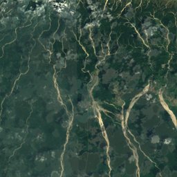
Bagmati Province from above
Every place scored for the month you pick: comfortable temperatures, dry days and clear skies.
OctoberMonth scores for Bagmati Province

Photo: User: Bgabel at wikivoyage shared · CC BY-SA 3.0 · Wikimedia CommonsReport this photo · linked, not stored


Photo: Ralf Lotys (Sicherlich) · CC BY 3.0 · Wikimedia CommonsReport this photo · linked, not stored


Photo: Nagarkot Panoramic Hiking Trail · CC BY-SA 3.0 · Wikimedia CommonsReport this photo · linked, not stored

Photo: This illustration was made by (User:Royonx) and released under the license(s) st · CC0 · Wikimedia CommonsReport this photo · linked, not stored
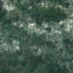
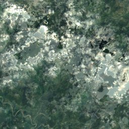
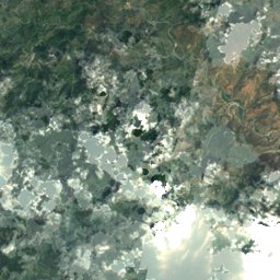
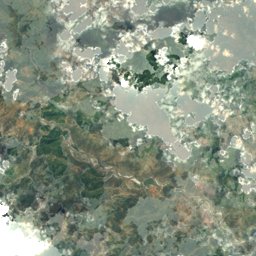
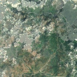
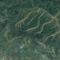
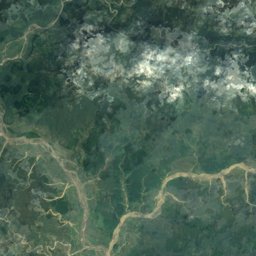
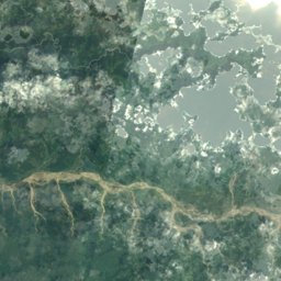
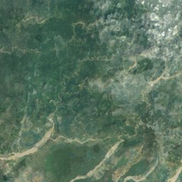
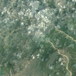
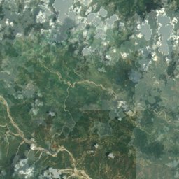
Satellite: Sentinel-2 cloudless 2016 by EOX IT Services GmbH · CC BY 4.0 · Contains modified Copernicus Sentinel data 2016
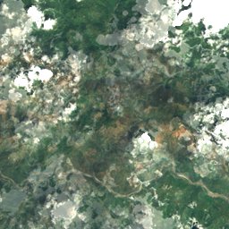
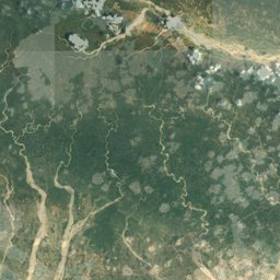
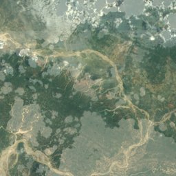
Satellite: Sentinel-2 cloudless 2016 by EOX IT Services GmbH · CC BY 4.0 · Contains modified Copernicus Sentinel data 2016
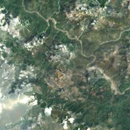
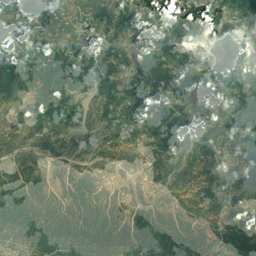
Satellite: Sentinel-2 cloudless 2016 by EOX IT Services GmbH · CC BY 4.0 · Contains modified Copernicus Sentinel data 2016
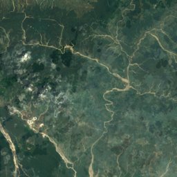
Satellite: Sentinel-2 cloudless 2016 by EOX IT Services GmbH · CC BY 4.0 · Contains modified Copernicus Sentinel data 2016
Satellite: Sentinel-2 cloudless 2016 by EOX IT Services GmbH · CC BY 4.0 · Contains modified Copernicus Sentinel data 2016
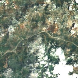
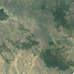
Satellite: Sentinel-2 cloudless 2016 by EOX IT Services GmbH · CC BY 4.0 · Contains modified Copernicus Sentinel data 2016
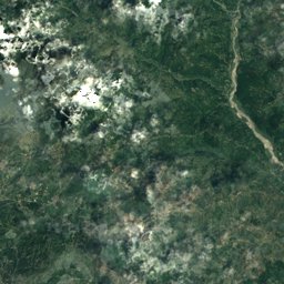
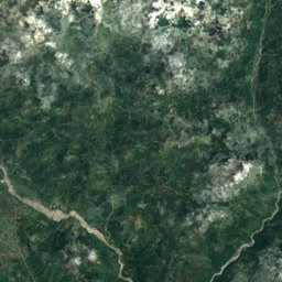
Satellite: Sentinel-2 cloudless 2016 by EOX IT Services GmbH · CC BY 4.0 · Contains modified Copernicus Sentinel data 2016
Satellite: Sentinel-2 cloudless 2016 by EOX IT Services GmbH · CC BY 4.0 · Contains modified Copernicus Sentinel data 2016
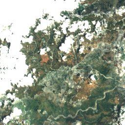
Satellite: Sentinel-2 cloudless 2016 by EOX IT Services GmbH · CC BY 4.0 · Contains modified Copernicus Sentinel data 2016
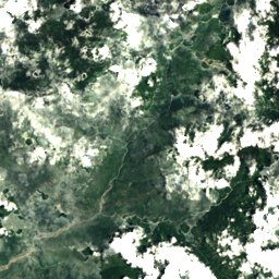
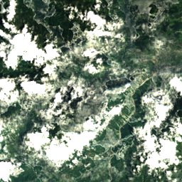
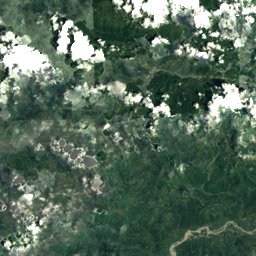
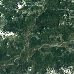
Satellite: Sentinel-2 cloudless 2016 by EOX IT Services GmbH · CC BY 4.0 · Contains modified Copernicus Sentinel data 2016
Satellite: Sentinel-2 cloudless 2016 by EOX IT Services GmbH · CC BY 4.0 · Contains modified Copernicus Sentinel data 2016

Nature in Bagmati Province

Summit7,227 m
Langtang Lirung
Summit7,205 m
Langtang Ri
Summit7,118 m
Ganesh NW
National park
Chitwan National Park
River
Bagmati River
River
Trishuli RiverWildlife in October
The birds and mammals of Nepal seen most this month, compared with the rest of their year.


Outdoors in Bagmati Province
Culture in Bagmati Province


What's on in Bagmati Province
Getting to Bagmati Province
Tribhuvan International AirportKTM · Kirtipur
8.5 kmJanakpur AirportJKR · Kirtipur
125 kmPokhara International AirportPHH · Kirtipur
136 kmTowns in Bagmati Province from A to Z
The 47 main places; every village is listed on its district's page.