
group of lakesBriddhim, Bagmati Province
Gosaikunda
Ramsar siteBuilt 2007
Typegroup of lakes
Built2007
Best monthsApr · Oct–Novweather in Briddhim
28.08° N, 85.41° EUTC+5:45 · Nepal Time
Standing for19 years
built 2007today 2026
When to goBriddhim · weather score
Best timeApr · Oct–Nov
October: high / low16° / 6°
iAbout
Gosaikunda in brief
Gosaikunda is a group of lakes in Briddhim, Bagmati Province, Nepal.
It holds the designation Ramsar site.
The group of lakes dates from 2007.
For a visit, the weather in Briddhim is best in April, October and November; in October afternoons average 16°.
Facts
- Type
- group of lakes
- Designation
- Ramsar site
- Built
- 2007
- Nearest town
- Briddhim
- Region
- Bagmati Province
- Coordinates
- 28.08275, 85.41361
iiLocation
Where to find it
iiiWhen to visit
Climate guideWeather in Briddhim
Month score for sightseeing
Best Apr · Oct–Nov54
Jan
53
Feb
56
Mar
68
Apr
68
May
57
Jun
47
Jul
48
Aug
59
Sep
74
Oct
72
Nov
59
Dec
Around here
Briddhim and around

Nature


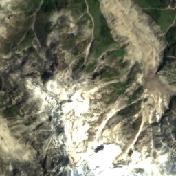
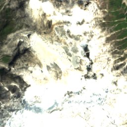
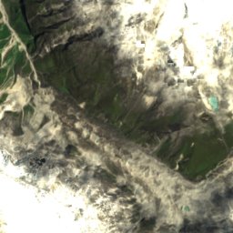
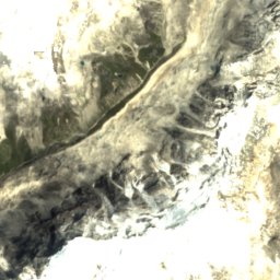
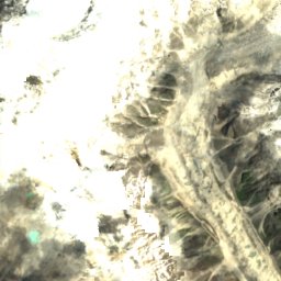
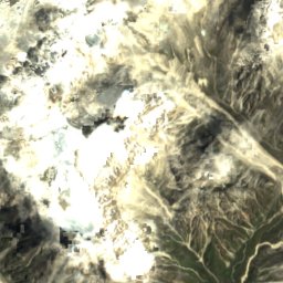
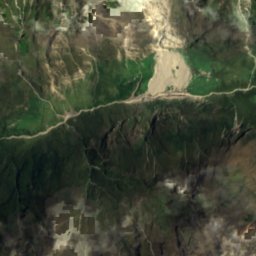
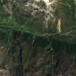
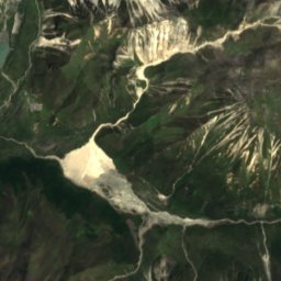
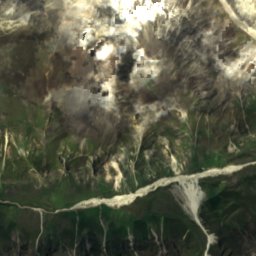
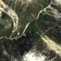
Satellite: Sentinel-2 cloudless 2016 by EOX IT Services GmbH · CC BY 4.0 · Contains modified Copernicus Sentinel data 2016
Yala Glacier
Glacier
Mountains


Photo: GerthMichael at German Wikipedia · CC BY-SA 3.0 · Wikimedia CommonsReport this photo · linked, not stored

Langtang Ri
7,205 m · Langtang Himal