
Photo: Salvatore Silvestri at Italian Wikipedia · Public domain · Wikimedia Commons
SarnoReport this photo · linked, not stored
SarnoReport this photo · linked, not stored

Photo: Paskwiki · CC BY-SA 3.0 · Wikimedia Commons
Scoglio di RoviglianoReport this photo · linked, not stored
Scoglio di RoviglianoScoglio di RoviglianoReport this photo · linked, not stored

Photo: Lobufalo · CC BY-SA 3.0 · Wikimedia Commons
Vesuvius National ParkReport this photo · linked, not stored
Vesuvius National ParkVesuvius National ParkReport this photo · linked, not stored

Photo: Francesco Cosentino · CC BY-SA 4.0 · Wikimedia Commons
Monte Sant'Angelo a Tre PizziReport this photo · linked, not stored
Monte Sant'Angelo a Tre PizziMonte Sant'Angelo a Tre PizziReport this photo · linked, not stored

Photo: pietro scerrato · CC BY 3.0 · Wikimedia Commons
Mount VesuviusReport this photo · linked, not stored
Mount VesuviusMount VesuviusReport this photo · linked, not stored
RiverTorre Annunziata, Campania
Sarno
RiverBest Apr–May · Oct
Elevation–above sea level
Length30 kmsource to mouth
Nearest townTorre Annunziata2.5 km
40.73° N, 14.47° EUTC+2 · Central European Summer Time
When to goTorre Annunziata · weather score
Best timeApr–May · Oct
October: high / low23° / 15°
River
Sarno in brief
Sarno is a river in Torre Annunziata, Campania, Italy.
The nearest town in the atlas is Torre Annunziata, 2.5 km to the NW, where the weather is best in April, May and October.
Sarno is 30 km long.
Weather nearby now
Forecast for Torre Annunziata20°
Partly cloudy now
Today
22 Oct
23°
14°
5 mm
Fri
23 Oct
23°
12°
Sat
24 Oct
23°
11°
6 mm
Sun
25 Oct
21°
10°
2 mm
Mon
26 Oct
23°
11°
Model run 00:00 UTCRefreshed several times a day
The course of the river
As mapped in OpenStreetMap, with the towns of the atlas along its banks.- 1Sarno30 m
- 2San Valentino Torio22 m
- 3Striano22 m
- 4Poggiomarino26 m
- 5San Marzano sul Sarno20 m
- 6San Lorenzo18 m
- 7Angri32 m
- 8Scafati12 m
- 9Pompei14 m
sourcemouth (or where the mapped line leaves the country)
When to go
Climate of Torre AnnunziataThe best months around Sarno
Month score in Torre Annunziata
Comfort, dry days and sunshine · out of 10047
Jan
55
Feb
67
Mar
75
Apr
79
May
73
Jun
68
Jul
61
Aug
67
Sep
77
Oct
70
Nov
53
Dec
Map
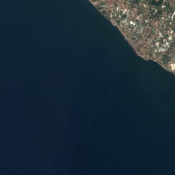
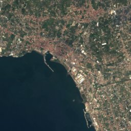
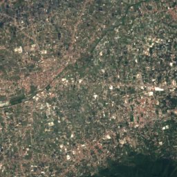
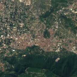
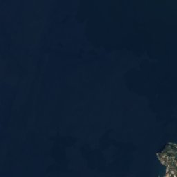
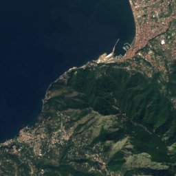
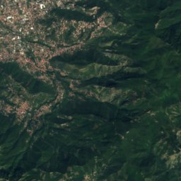
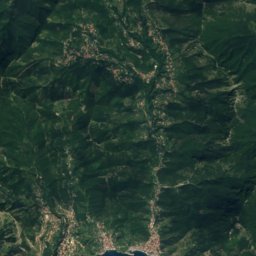
Sarno from above
Nature nearbyAll of Italy

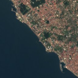
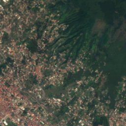
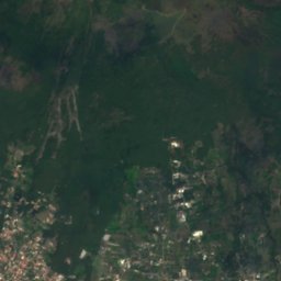
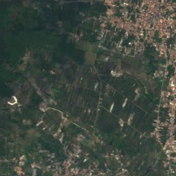
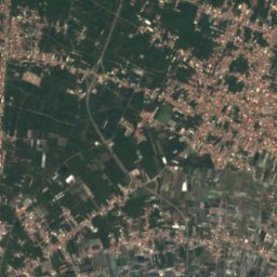

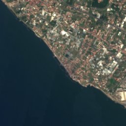
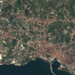
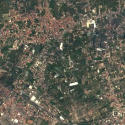
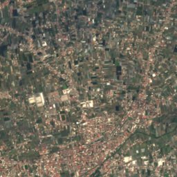



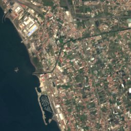
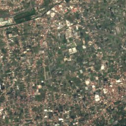
Satellite: Sentinel-2 cloudless 2016 by EOX IT Services GmbH · CC BY 4.0 · Contains modified Copernicus Sentinel data 2016
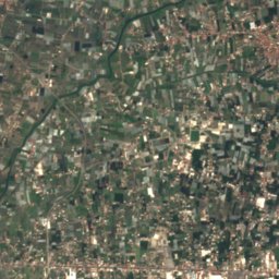
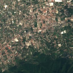

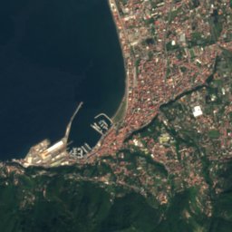
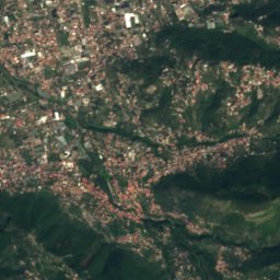
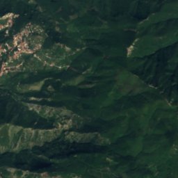
Satellite: Sentinel-2 cloudless 2016 by EOX IT Services GmbH · CC BY 4.0 · Contains modified Copernicus Sentinel data 2016





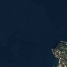
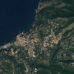
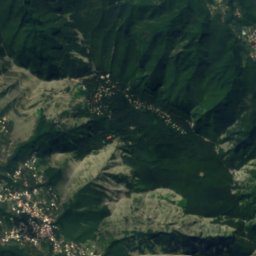
Satellite: Sentinel-2 cloudless 2016 by EOX IT Services GmbH · CC BY 4.0 · Contains modified Copernicus Sentinel data 2016
Satellite: Sentinel-2 cloudless 2016 by EOX IT Services GmbH · CC BY 4.0 · Contains modified Copernicus Sentinel data 2016

Summits nearbyMountains of Italy



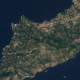
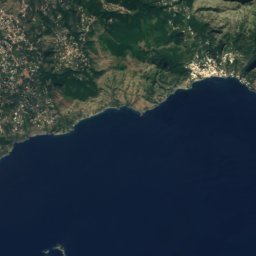
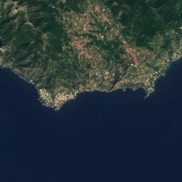
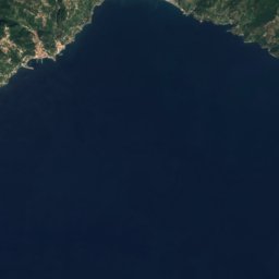
Satellite: Sentinel-2 cloudless 2016 by EOX IT Services GmbH · CC BY 4.0 · Contains modified Copernicus Sentinel data 2016
Satellite: Sentinel-2 cloudless 2016 by EOX IT Services GmbH · CC BY 4.0 · Contains modified Copernicus Sentinel data 2016


Photo: NASA/ISS Expedition 4 crew member · Public domain · Wikimedia CommonsReport this photo · linked, not stored
Stay nearby
Towns close by

Photo: ho visto nina volare from Italy · CC BY-SA 2.0 · Wikimedia CommonsReport this photo · linked, not stored
Torre Annunziata
Campania · 2.5 km NW
23°Oct high
10wet days
77score


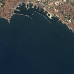
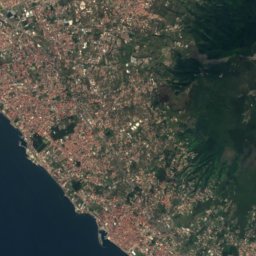
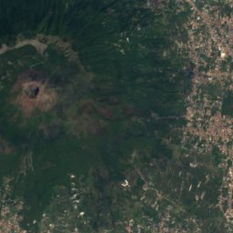
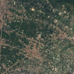
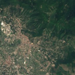
Satellite: Sentinel-2 cloudless 2016 by EOX IT Services GmbH · CC BY 4.0 · Contains modified Copernicus Sentinel data 2016
Santa Maria la Carità
Campania · 4.1 km SE
23°Oct high
10wet days
77score
Around here
Torre Annunziata and around
Photo: ho visto nina volare from Italy · CC BY-SA 2.0 · Wikimedia CommonsReport this photo · linked, not stored
Torre Annunziata
Campania · Italy
Apr–May · Octbest months
30°July high
9 maltitude
Nature

Photo: Unknown authorUnknown author · Public domain · Wikimedia CommonsReport this photo · linked, not stored
Grotta dello Smeraldo
Cave
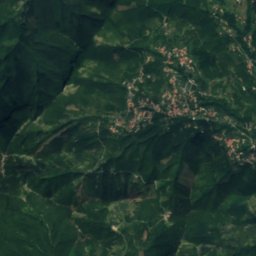
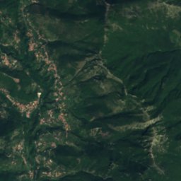
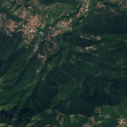
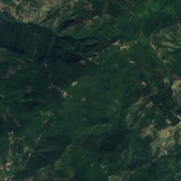
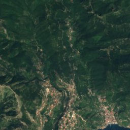
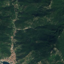
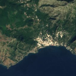
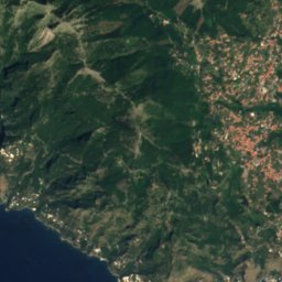
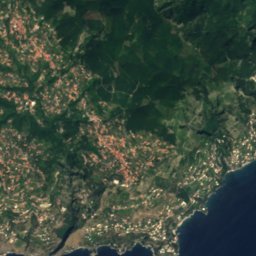
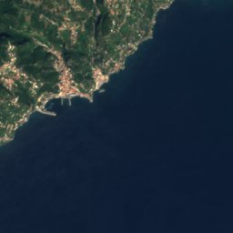
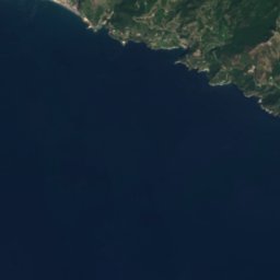
Satellite: Sentinel-2 cloudless 2016 by EOX IT Services GmbH · CC BY 4.0 · Contains modified Copernicus Sentinel data 2016
Dragone River
River
Mountains

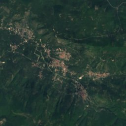
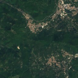
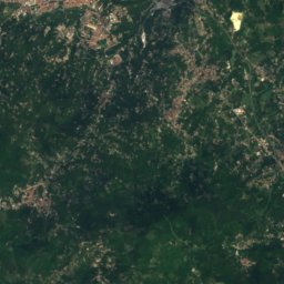
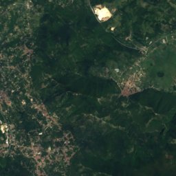
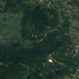
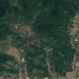
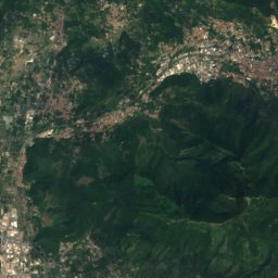
Satellite: Sentinel-2 cloudless 2016 by EOX IT Services GmbH · CC BY 4.0 · Contains modified Copernicus Sentinel data 2016
Pizzo San Michele
1,567 m · Monti Picentini
Satellite: Sentinel-2 cloudless 2016 by EOX IT Services GmbH · CC BY 4.0 · Contains modified Copernicus Sentinel data 2016
Monte Garofano
1,495 m · Monti Picentini
Heritage
Satellite: Sentinel-2 cloudless 2016 by EOX IT Services GmbH · CC BY 4.0 · Contains modified Copernicus Sentinel data 2016
Villa Poppaea
part of UNESCO World Heritage Site · 49 BC


Museums




Satellite: Sentinel-2 cloudless 2016 by EOX IT Services GmbH · CC BY 4.0 · Contains modified Copernicus Sentinel data 2016
Museo Gracco di arte contemporanea e fotografia
Museum of modern art