
Photo: NASA/ISS Expedition 4 crew member · Public domain · Wikimedia Commons
Mount SommaReport this photo · linked, not stored
Mount SommaReport this photo · linked, not stored

Photo: Francesco Cosentino · CC BY-SA 4.0 · Wikimedia Commons
Monte Sant'Angelo a Tre PizziReport this photo · linked, not stored
Monte Sant'Angelo a Tre PizziMonte Sant'Angelo a Tre PizziReport this photo · linked, not stored

Photo: pietro scerrato · CC BY 3.0 · Wikimedia Commons
Mount VesuviusReport this photo · linked, not stored
Mount VesuviusMount VesuviusReport this photo · linked, not stored
Somma-Vesuvius complex · Campania · ItalySummit weather, forecast and climate
Mount Somma
Volcano1,132 m
Elevation1,132 mabove sea level
Prominence–independent height
Isolation0.3 kmto a higher summit
Summit, Jul21°average high
40.82° N, 14.43° EElevation 1,132 mUTC+2 · Central European Summer Time
From the valley to the top
- Summit1,132 m
- Mid-mountain650 m
- Valley · Massa di Somma166 m
Freezing level in October: above the summit
iThe mountain
Mount Somma in brief
Mount Somma rises to 1,132 m in the Somma-Vesuvius complex, Campania, Italy.
At the summit, August is the mildest month with average highs of 21°, while nights rarely fall below freezing.
The nearest town in the atlas is Massa di Somma, 5.0 km to the NW at 166 m.
iiForecast
Weather at three heights
Temperatures are adjusted to each height; summits are usually colder and windier than the valley forecast suggests.
Loading the latest forecast…
Loading the latest forecast…
Loading the latest forecast…
iiiSummit climate
The top of Mount Somma by month
Summit temperatures and precipitation
Climate normals for the summit area (~1 km grid), station-adjusted| Month | Jan | Feb | Mar | Apr | May | Jun | Jul | Aug | Sep | Oct | Nov | Dec |
|---|---|---|---|---|---|---|---|---|---|---|---|---|
| Average high | 5° | 5° | 7° | 9° | 14° | 18° | 21° | 21° | 17° | 14° | 10° | 6° |
| Average low | 2° | 1° | 3° | 5° | 9° | 14° | 16° | 17° | 13° | 11° | 7° | 3° |
| Precipitation | 139 mm | 114 mm | 121 mm | 126 mm | 64 mm | 51 mm | 32 mm | 35 mm | 132 mm | 160 mm | 219 mm | 174 mm |
| Cloud cover | 41% | 37% | 37% | 34% | 27% | 18% | 8% | 10% | 23% | 32% | 38% | 40% |
| Daylight | 9h 34 | 10h 39 | 11h 54 | 13h 17 | 14h 27 | 15h 05 | 14h 50 | 13h 50 | 12h 30 | 11h 10 | 9h 56 | 9h 16 |
| Month score | 20 | 24 | 22 | 23 | 60 | 85 | 91 | 90 | 62 | 44 | 22 | 21 |
Snow and freezing level
Average height of the 0 °C level from the summit normals (6.5 °C per km); snow months have a summit mean at or below +1 °C| Month | Jan | Feb | Mar | Apr | May | Jun | Jul | Aug | Sep | Oct | Nov | Dec |
|---|---|---|---|---|---|---|---|---|---|---|---|---|
| Freezing level | 1,700 m | 1,600 m | 1,900 m | 2,250 m | 2,900 m | 3,550 m | 4,000 m | 4,100 m | 3,450 m | 3,000 m | 2,350 m | 1,850 m |
| Summit | above 0 °C | above 0 °C | above 0 °C | above 0 °C | above 0 °C | above 0 °C | above 0 °C | above 0 °C | above 0 °C | above 0 °C | above 0 °C | above 0 °C |
ivTerrain
Mount Somma in 3D
vNeighbours
Mountains of ItalyPeaks nearby
| Mountain | Elevation | Prominence | Distance | July summit high |
|---|---|---|---|---|
| Monte Sant'Angelo a Tre Pizzi | 1,444 m | – | 20 km S | 20° |
| Monte di Mezzo, Campania | 1,425 m | – | 21 km S | 20° |
| Monte Caliello | 1,359 m | – | 21 km S | 20° |
| Mount Vesuvius | 1,281 m | 1,232 m | 0.3 km E | 21° |
| Monte Faito | 1,131 m | – | 21 km S | 20° |
| Colle Umberto | 886 m | – | 1.5 km NW | 23° |
| Cognoli d'Ottaviano | 879 m | – | 1.9 km NE | 22° |
| Monte Litto | 700 m | – | 25 km NE | 25° |
viBase towns
Where to stay nearby


Photo: Lusb at Italian Wikipedia · Public domain · Wikimedia CommonsReport this photo · linked, not stored
Ottaviano
Campania · 5.5 km NE
23°Oct high
10wet days
77score

Photo: Lusb at Italian Wikipedia · Public domain · Wikimedia CommonsReport this photo · linked, not stored
Sant'Anastasia
Campania · 5.6 km N
23°Oct high
10wet days
77score
Around here
Massa di Somma and around
Nature


Photo: Salvatore Silvestri at Italian Wikipedia · Public domain · Wikimedia CommonsReport this photo · linked, not stored
Sarno
River

Mountains
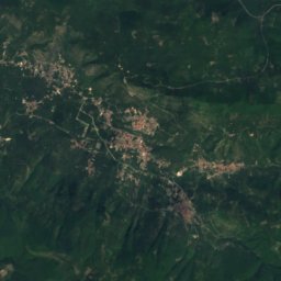
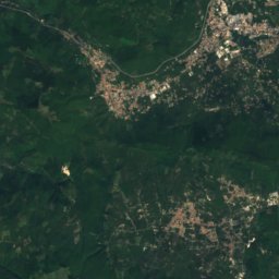
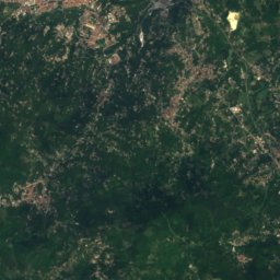
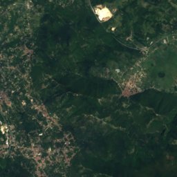
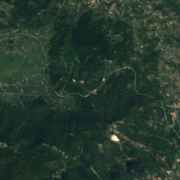
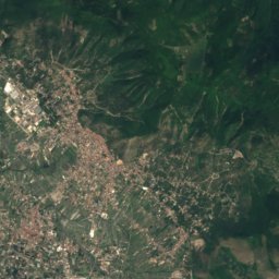
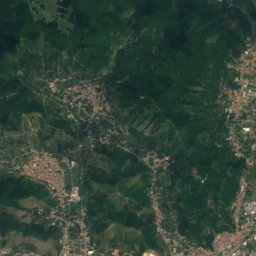
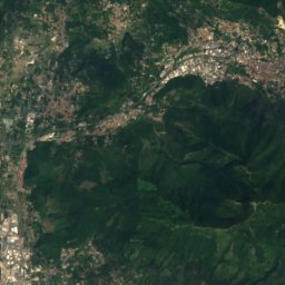
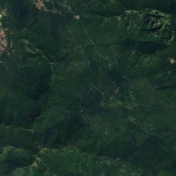
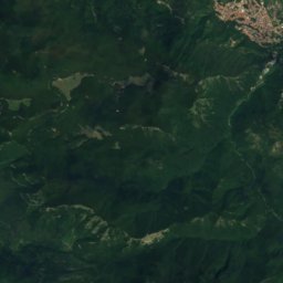
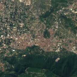
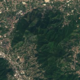
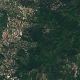
Satellite: Sentinel-2 cloudless 2016 by EOX IT Services GmbH · CC BY 4.0 · Contains modified Copernicus Sentinel data 2016
Pizzo San Michele
1,567 m · Monti Picentini

Heritage


San Giacomo degli Spagnoli
part of UNESCO World Heritage Site · 1540
Museums



Satellite: Sentinel-2 cloudless 2016 by EOX IT Services GmbH · CC BY 4.0 · Contains modified Copernicus Sentinel data 2016
Museo dell'Osservatorio vesuviano
Natural history museum


