

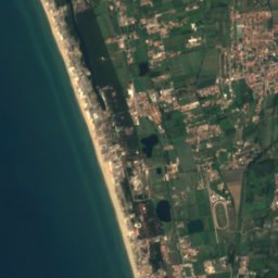
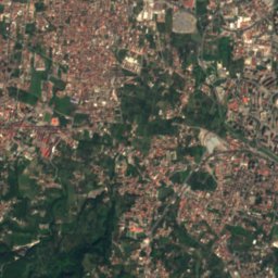
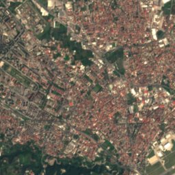
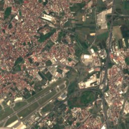


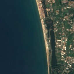
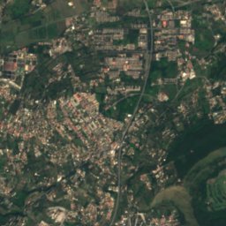
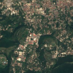
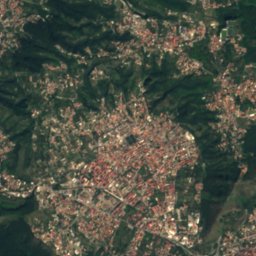
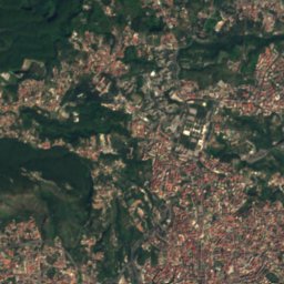
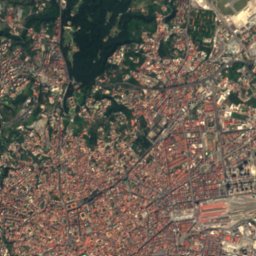
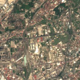


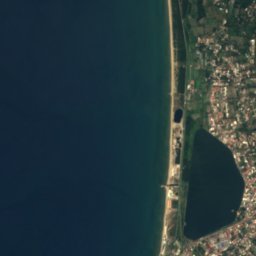
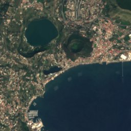
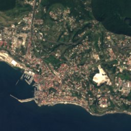
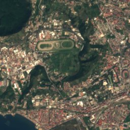
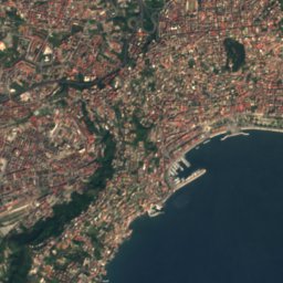
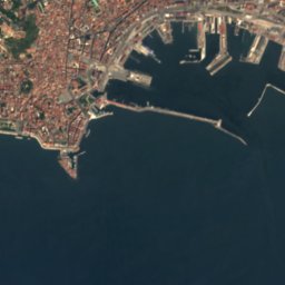



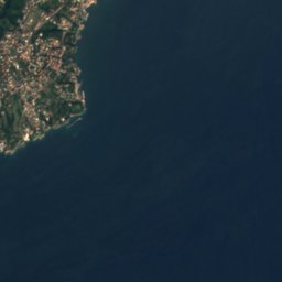



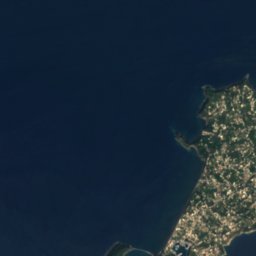
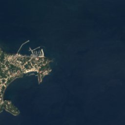
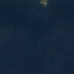





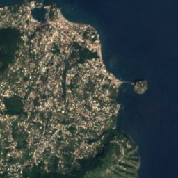
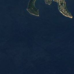







Satellite: Sentinel-2 cloudless 2016 by EOX IT Services GmbH · CC BY 4.0 · Contains modified Copernicus Sentinel data 2016

Photo: Gianfranco Vitolo · CC BY 2.0 · Wikimedia Commons
Gaiola IslandReport this photo · linked, not stored
Gaiola IslandGaiola IslandReport this photo · linked, not stored

Photo: Unknown author · CC BY 4.0 · Wikimedia Commons
Cave of DogsReport this photo · linked, not stored
Cave of DogsCave of DogsReport this photo · linked, not stored
 Pennata
 Lago Miseno
IslandPosillipo, Campania
Nisida
Island109 m elevationBest May–Jun · Oct
Elevation109 mabove sea level
Area0.7 km²surface
Nearest townPosillipo3.6 km
40.80° N, 14.16° EElevation 109 mUTC+2 · Central European Summer Time
When to goPosillipo · weather score
Best timeMay–Jun · Oct
October: high / low23° / 15°
Island
Nisida in brief
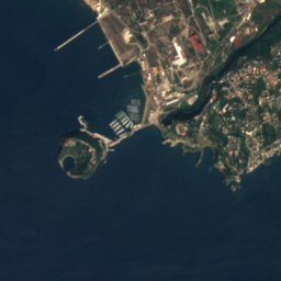
Nisida is an island in Posillipo, Campania, Italy — volcanic islet, north of Naples.
It lies at 109 m above sea level and covers about 0.7 km².
The nearest town in the atlas is Posillipo, 3.6 km to the NE, where the weather is best in May, June and October.
Weather nearby now
Forecast for Posillipo20°
Partly cloudy now
Today
22 Oct
23°
17°
1 mm
Fri
23 Oct
23°
15°
Sat
24 Oct
23°
12°
4 mm
Sun
25 Oct
20°
12°
Mon
26 Oct
23°
14°
Model run 00:00 UTCRefreshed several times a day
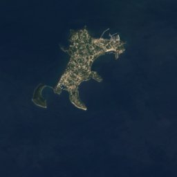
The island from above
0.7 km² · coastline as mapped in OpenStreetMapWhen to go
Climate of PosillipoThe best months around Nisida
Month score in Posillipo
Comfort, dry days and sunshine · out of 10046
Jan
52
Feb
63
Mar
75
Apr
79
May
80
Jun
75
Jul
67
Aug
70
Sep
77
Oct
68
Nov
52
Dec
Map
Nisida from above
Nature nearbyAll of Italy

Satellite: Sentinel-2 cloudless 2016 by EOX IT Services GmbH · CC BY 4.0 · Contains modified Copernicus Sentinel data 2016


Satellite: Sentinel-2 cloudless 2016 by EOX IT Services GmbH · CC BY 4.0 · Contains modified Copernicus Sentinel data 2016

Summits nearbyMountains of Italy


Photo: NASA/ISS Expedition 4 crew member · Public domain · Wikimedia CommonsReport this photo · linked, not stored
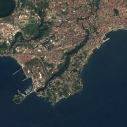
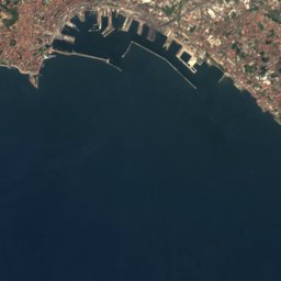
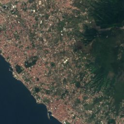
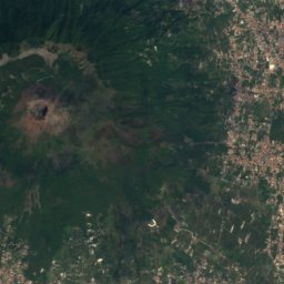
Satellite: Sentinel-2 cloudless 2016 by EOX IT Services GmbH · CC BY 4.0 · Contains modified Copernicus Sentinel data 2016
Satellite: Sentinel-2 cloudless 2016 by EOX IT Services GmbH · CC BY 4.0 · Contains modified Copernicus Sentinel data 2016









Satellite: Sentinel-2 cloudless 2016 by EOX IT Services GmbH · CC BY 4.0 · Contains modified Copernicus Sentinel data 2016
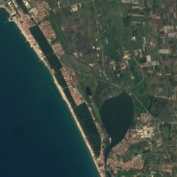

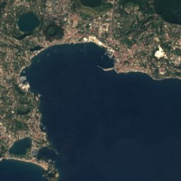
Satellite: Sentinel-2 cloudless 2016 by EOX IT Services GmbH · CC BY 4.0 · Contains modified Copernicus Sentinel data 2016
Stay nearby
Towns close by


Photo: Denghiù at Italian Wikipedia · Public domain · Wikimedia CommonsReport this photo · linked, not stored
Bacoli
Campania · 7.6 km W
23°Oct high
10wet days
77score


Around here
Posillipo and around
Nature
Satellite: Sentinel-2 cloudless 2016 by EOX IT Services GmbH · CC BY 4.0 · Contains modified Copernicus Sentinel data 2016
Lucrinus Lacus
Lake
Mountains



Satellite: Sentinel-2 cloudless 2016 by EOX IT Services GmbH · CC BY 4.0 · Contains modified Copernicus Sentinel data 2016
Monte di Mezzo, Campania
1,425 m · Monti Lattari
Satellite: Sentinel-2 cloudless 2016 by EOX IT Services GmbH · CC BY 4.0 · Contains modified Copernicus Sentinel data 2016
Monte Caliello
1,359 m · Monti Lattari
Heritage

Satellite: Sentinel-2 cloudless 2016 by EOX IT Services GmbH · CC BY 4.0 · Contains modified Copernicus Sentinel data 2016
Crypta Neapolitana
Italian national heritage · 36 BC


Santa Maria del Parto a Mergellina, Naples
Italian national heritage · 1504
Museums


Photo: http://www.everyfoto.com · CC BY-SA 3.0 · Wikimedia CommonsReport this photo · linked, not stored
Museo Nazionale della Ceramica Duca di Martina
Art museum · 1927


