Skip to content
Destinations
Weather & climate
Nature
Outdoors
Culture
Events
Sky & live
Lake Maninjau
Photo: Slimguy · CC BY-SA 2.0 de · Wikimedia Commons
Lake ManinjauReport this photo · linked, not stored
Anai valley
Photo: Rhmtdns · CC BY-SA 4.0 · Wikimedia Commons
Anai valleyReport this photo · linked, not stored
Anai valley
Singgalang
Photo: Adri45an · CC BY 4.0 · Wikimedia Commons
SinggalangReport this photo · linked, not stored
Singgalang
Mount Tandikat
Photo: Michael J. Lowe · CC BY-SA 2.5 · Wikimedia Commons
Mount TandikatReport this photo · linked, not stored
Mount Tandikat
LakeBukittinggi, West Sumatra

Lake Maninjau

Lake459 m elevationBest Jun–Aug
Elevation459 mabove sea level
Area100 km²surface
Nearest townBukittinggi19 km
0.32° S, 100.20° EElevation 459 mUTC+7 · Western Indonesia Time
When to goBukittinggi · weather score
JanFebMarAprMayJunJulAugSepOctNovDec47October
Best timeJun–Aug
October: high / low25° / 18°
Lake

Lake Maninjau in brief

Lake Maninjau is a lake in Bukittinggi, West Sumatra, Indonesia — crater lake.

It lies at 459 m above sea level and covers about 100 km².

The nearest town in the atlas is Bukittinggi, 19 km to the E, where the weather is best in June, July and August.

Bukittinggi: weather and travel guide

Weather nearby now

Forecast for Bukittinggi
21°
Rain now
Wind2 km/h
Humidity98%
Cloud cover100%
Today
22 Oct
27°
21°
4 mm
Fri
23 Oct
23°
19°
24 mm
Sat
24 Oct
22°
20°
29 mm
Sun
25 Oct
23°
19°
17 mm
Mon
26 Oct
21°
19°
22 mm

Model run 00:00 UTCRefreshed several times a day

When to go

The best months around Lake Maninjau

Climate of Bukittinggi

Month score in Bukittinggi

Comfort, dry days and sunshine · out of 100
Map

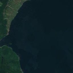
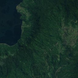
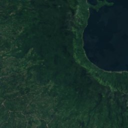
Lake Maninjau from above

Nature nearbyAll of Indonesia
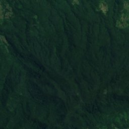
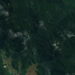
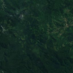
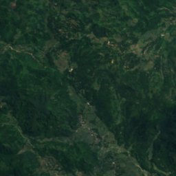
Satellite: Sentinel-2 cloudless 2016 by EOX IT Services GmbH · CC BY 4.0 · Contains modified Copernicus Sentinel data 2016
Inyiak JanunCave13 kmNEInyiak Janun
Photo: Rhmtdns · CC BY-SA 4.0 · Wikimedia CommonsReport this photo · linked, not stored
Anai valleyWaterfall24 kmSEAnai valley
Photo: Adri45an · CC BY 4.0 · Wikimedia CommonsReport this photo · linked, not stored
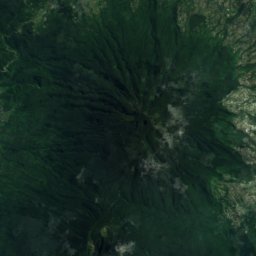
Singgalang17 km SE2,877 mJuly 15°Singgalang
Photo: Michael J. Lowe · CC BY-SA 2.5 · Wikimedia CommonsReport this photo · linked, not stored
Mount Tandikat18 km SE2,438 mJuly 17°Mount Tandikat
Stay nearby

Towns close by
Satellite: Sentinel-2 cloudless 2016 by EOX IT Services GmbH · CC BY 4.0 · Contains modified Copernicus Sentinel data 2016

Bukittinggi

West Sumatra · 19 km E
25°Oct high
447mm rain
47score
Bukittinggi
Padang Panjang
Photo: Fendry mappariza · CC BY-SA 3.0 · Wikimedia CommonsReport this photo · linked, not stored

Padang Panjang

West Sumatra · 28 km SE
25°Oct high
497mm rain
47score
Padang Panjang
Around here

Bukittinggi and around

Satellite: Sentinel-2 cloudless 2016 by EOX IT Services GmbH · CC BY 4.0 · Contains modified Copernicus Sentinel data 2016

Bukittinggi

West Sumatra · Indonesia
Jun–Augbest months
25°July high
927 maltitude
Bukittinggi

Nature

Satellite: Sentinel-2 cloudless 2016 by EOX IT Services GmbH · CC BY 4.0 · Contains modified Copernicus Sentinel data 2016
8.7 km NW

Inyiak Janun

Cave
Inyiak Janun
Anai valley
Photo: Rhmtdns · CC BY-SA 4.0 · Wikimedia CommonsReport this photo · linked, not stored
20 km S

Anai valley

Waterfall
Anai valley
Satellite: Sentinel-2 cloudless 2016 by EOX IT Services GmbH · CC BY 4.0 · Contains modified Copernicus Sentinel data 2016
21 km N

Ngalau Saribu

Cave
Ngalau Saribu

Mountains

Marapi
Photo: Dody.bukittinggi · CC BY-SA 4.0 · Wikimedia CommonsReport this photo · linked, not stored
14 km SE

Marapi

2,891 m · Barisan Mountains
Marapi
Singgalang
Photo: Adri45an · CC BY 4.0 · Wikimedia CommonsReport this photo · linked, not stored
10 km SW

Singgalang

2,877 m · Barisan Mountains
Singgalang
Mount Tandikat
Photo: Michael J. Lowe · CC BY-SA 2.5 · Wikimedia CommonsReport this photo · linked, not stored
15 km SW

Mount Tandikat

2,438 m · Barisan Mountains
Mount Tandikat

Museums

Tri Daya Eka Dharma Museum
Photo: sbamueller · CC BY-SA 2.0 · Wikimedia CommonsReport this photo · linked, not stored
0.5 km NW

Tri Daya Eka Dharma Museum

1973
Tri Daya Eka Dharma Museum
Bung Hatta Birth House
Photo: Crisco 1492 · CC BY-SA 4.0 · Wikimedia CommonsReport this photo · linked, not stored
1.0 km N

Bung Hatta Birth House

1860
Bung Hatta Birth House
Bundo Kanduang Museum
Photo: Herusutimbul · CC BY-SA 4.0 · Wikimedia CommonsReport this photo · linked, not stored
0.9 km N

Bundo Kanduang Museum

1935
Bundo Kanduang Museum