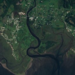
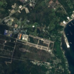
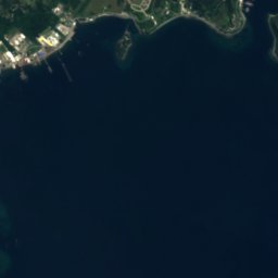
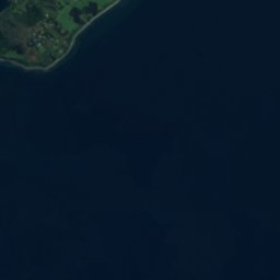


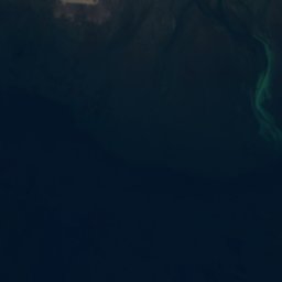
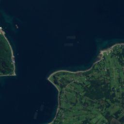
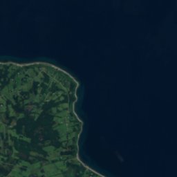












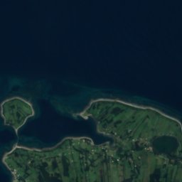
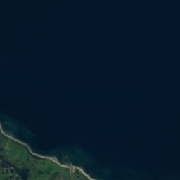


Satellite: Sentinel-2 cloudless 2016 by EOX IT Services GmbH · CC BY 4.0 · Contains modified Copernicus Sentinel data 2016
IslandPuerto Montt, Los Lagos Region
Capehuapi
IslandBest Jan–Feb · Dec
Elevation–above sea level
Area0.2 km²surface
Nearest townPuerto Montt15 km
41.60° S, 72.99° WUTC−3 · Chile Summer Time
When to goPuerto Montt · weather score
Best timeJan–Feb · Dec
October: high / low14° / 8°
Island
Capehuapi in brief
Capehuapi is an island in Puerto Montt, Los Lagos Region, Chile — island.
It covers about 0.2 km².
The nearest town is Puerto Montt, 15 km to the N, where the weather is best in January, February and December.
Weather nearby now
Forecast for Puerto Montt16°
Sunny now
Today
26 Oct
17°
12°
Tue
27 Oct
16°
12°
2 mm
Wed
28 Oct
17°
11°
Thu
29 Oct
20°
9°
Fri
30 Oct
16°
11°
Model run 12:00 UTCRefreshed several times a day
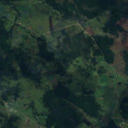
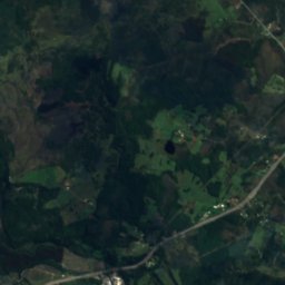
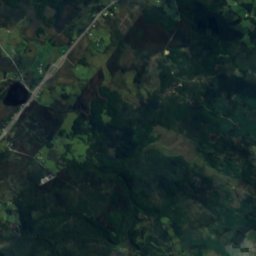
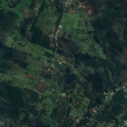
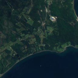
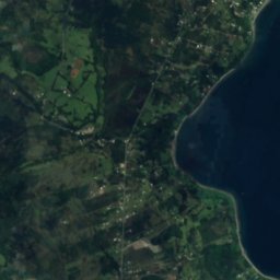
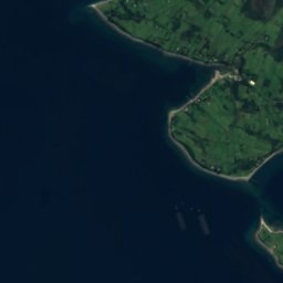
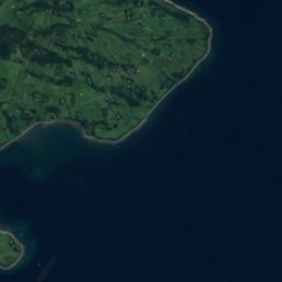
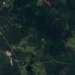
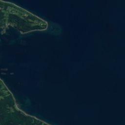
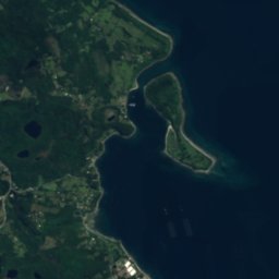
The island from above
0.2 km² · coastline as mapped in OpenStreetMapMap
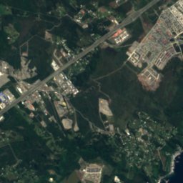
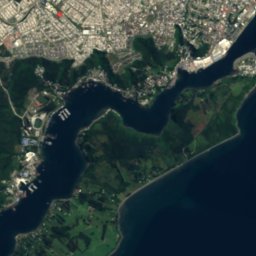
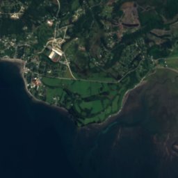
Capehuapi from above
Nature nearbyAll of Chile
Satellite: Sentinel-2 cloudless 2016 by EOX IT Services GmbH · CC BY 4.0 · Contains modified Copernicus Sentinel data 2016
Satellite: Sentinel-2 cloudless 2016 by EOX IT Services GmbH · CC BY 4.0 · Contains modified Copernicus Sentinel data 2016
Satellite: Sentinel-2 cloudless 2016 by EOX IT Services GmbH · CC BY 4.0 · Contains modified Copernicus Sentinel data 2016
Satellite: Sentinel-2 cloudless 2016 by EOX IT Services GmbH · CC BY 4.0 · Contains modified Copernicus Sentinel data 2016
Satellite: Sentinel-2 cloudless 2016 by EOX IT Services GmbH · CC BY 4.0 · Contains modified Copernicus Sentinel data 2016
Satellite: Sentinel-2 cloudless 2016 by EOX IT Services GmbH · CC BY 4.0 · Contains modified Copernicus Sentinel data 2016
Stay nearby
Towns close by

Photo: Montaje realizado por Wikiedro. · CC BY-SA 4.0 · Wikimedia CommonsReport this photo · linked, not stored
Puerto Montt
Los Lagos Region · 15 km N
14°Oct high
6wet days
58score

Photo: Rodolfo Ditzel Lacoa · CC BY-SA 3.0 · Wikimedia CommonsReport this photo · linked, not stored
Calbuco
Los Lagos Region · 22 km SW
12°Oct high
6wet days
49score

Around here
Puerto Montt and around
Photo: Montaje realizado por Wikiedro. · CC BY-SA 4.0 · Wikimedia CommonsReport this photo · linked, not stored
Puerto Montt
Los Lagos Region · Chile
Jan–Feb · Decbest months
10°July high
11 maltitude
Nature
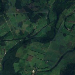
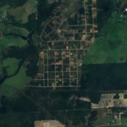
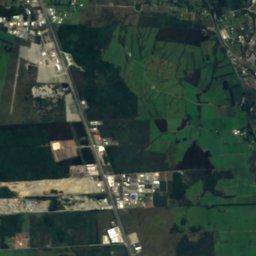
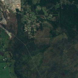
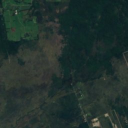
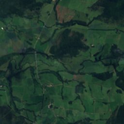
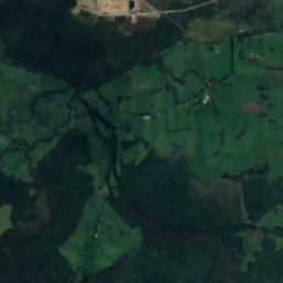
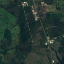
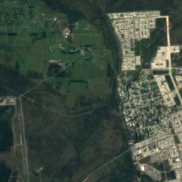
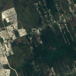
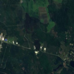
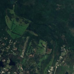
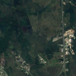
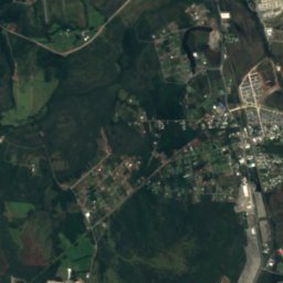
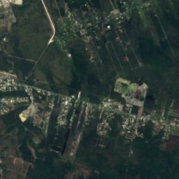
Satellite: Sentinel-2 cloudless 2016 by EOX IT Services GmbH · CC BY 4.0 · Contains modified Copernicus Sentinel data 2016
Estero Arrayán
River · 102 m
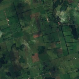
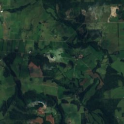
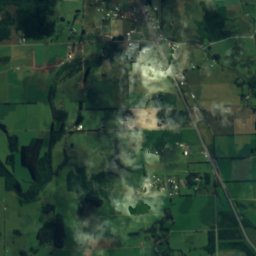
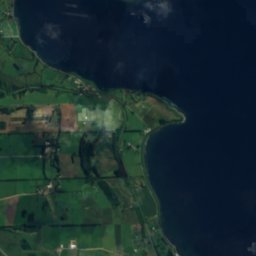

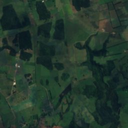
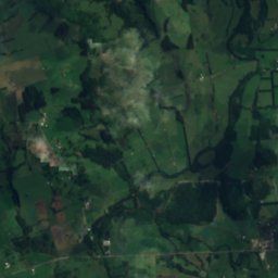
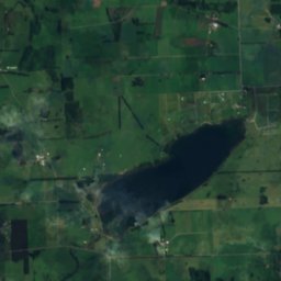
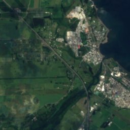
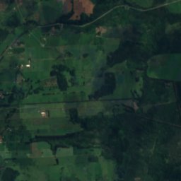
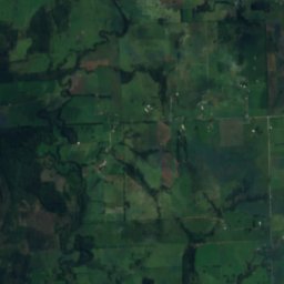
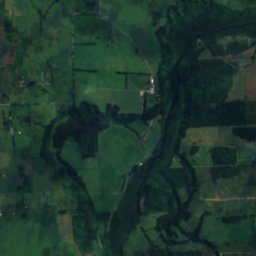
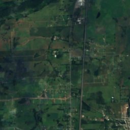
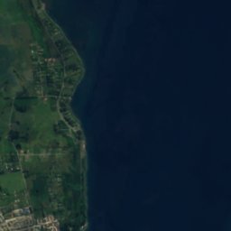
Satellite: Sentinel-2 cloudless 2016 by EOX IT Services GmbH · CC BY 4.0 · Contains modified Copernicus Sentinel data 2016
Laguna Pichilaguna
Lake · 110 m

Photo: Ministerio Bienes Nacionales · CC BY 2.0 · Wikimedia CommonsReport this photo · linked, not stored
Tenglo Island
Island · 27 m
Mountains

Heritage

Photo: Rodolfo Ditzel Lacoa · CC BY-SA 3.0 · Wikimedia CommonsReport this photo · linked, not stored
Torre campanario del colegio San Francisco Javier
Historical Monument of Chile

Photo: Rodolfo Ditzel Lacoa · CC BY-SA 3.0 · Wikimedia CommonsReport this photo · linked, not stored
Casa Pauly
Historical Monument of Chile

Museums


Satellite: Sentinel-2 cloudless 2016 by EOX IT Services GmbH · CC BY 4.0 · Contains modified Copernicus Sentinel data 2016
Historical Museum of Puerto Montt
Art museum


Satellite: Sentinel-2 cloudless 2016 by EOX IT Services GmbH · CC BY 4.0 · Contains modified Copernicus Sentinel data 2016
Museo de Piedras de Monte Verde
2000