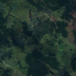
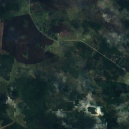
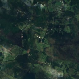
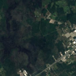















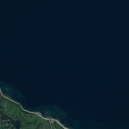


위성: Sentinel-2 cloudless 2016(EOX IT Services GmbH) · CC BY 4.0 · 수정된 Copernicus Sentinel 데이터(2016) 포함
섬푸에르토몬트, Los Lagos Region
Capehuapi
섬최적 1월–2월 · 12월
고도–해발
면적0.2 km²총면적
가장 가까운 지점푸에르토몬트15 km
남위 41.60°, 서경 72.99°UTC−3 · 칠레 하계 표준시
여행 시기푸에르토몬트 · 날씨 점수
최적 시기1월–2월 · 12월
10월: 최고 / 최저14° / 8°
섬
Capehuapi 개요
Capehuapi는 칠레(Los Lagos Region)에 있는 섬입니다.
면적 약 0.2 km²입니다.
가장 가까운 지점은 북쪽으로 15 km 떨어진 푸에르토몬트입니다. 그곳의 날씨가 가장 쾌적한 달은 1월, 2월, 12월입니다.
주변의 현재 날씨
푸에르토몬트의 일기 예보11°
현재 날씨: 구름 조금
오늘
10월 24일
17°
9°
일
10월 25일
17°
10°
월
10월 26일
17°
11°
1 mm
화
10월 27일
16°
11°
3 mm
수
10월 28일
18°
11°
모델 계산 시각 12:00 UTC하루 여러 번 갱신
하늘에서 본 섬
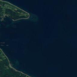
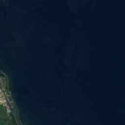
0.2 km² · OpenStreetMap 지도 데이터 기준 해안선지도
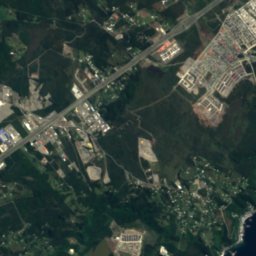
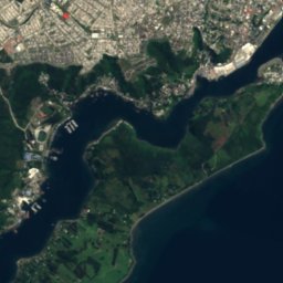
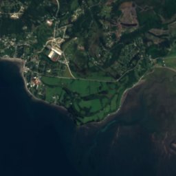
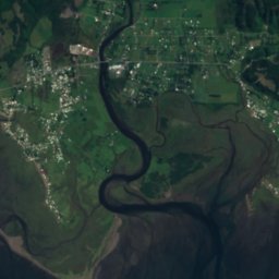
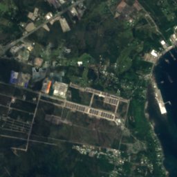
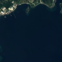
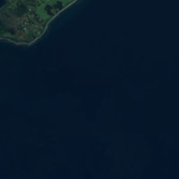
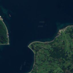
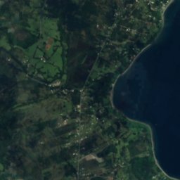
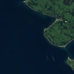
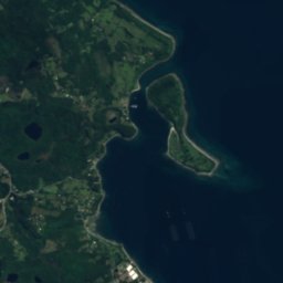
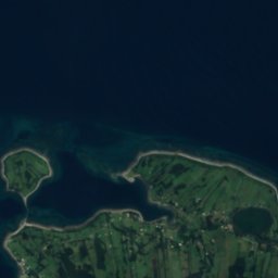
Capehuapi 하늘에서
주변 자연전국
위성: Sentinel-2 cloudless 2016(EOX IT Services GmbH) · CC BY 4.0 · 수정된 Copernicus Sentinel 데이터(2016) 포함
위성: Sentinel-2 cloudless 2016(EOX IT Services GmbH) · CC BY 4.0 · 수정된 Copernicus Sentinel 데이터(2016) 포함
위성: Sentinel-2 cloudless 2016(EOX IT Services GmbH) · CC BY 4.0 · 수정된 Copernicus Sentinel 데이터(2016) 포함
위성: Sentinel-2 cloudless 2016(EOX IT Services GmbH) · CC BY 4.0 · 수정된 Copernicus Sentinel 데이터(2016) 포함
위성: Sentinel-2 cloudless 2016(EOX IT Services GmbH) · CC BY 4.0 · 수정된 Copernicus Sentinel 데이터(2016) 포함
위성: Sentinel-2 cloudless 2016(EOX IT Services GmbH) · CC BY 4.0 · 수정된 Copernicus Sentinel 데이터(2016) 포함


주변
푸에르토몬트 일대
자연
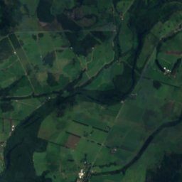
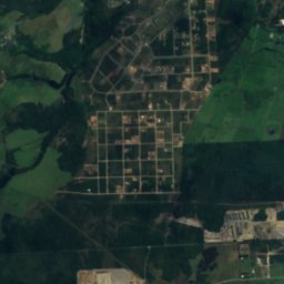
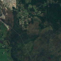
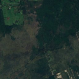
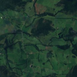
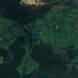
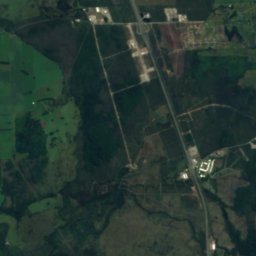
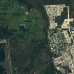
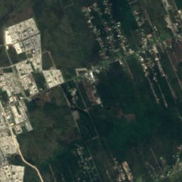
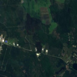
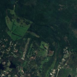
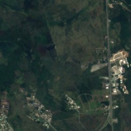
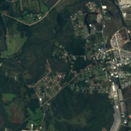
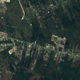
위성: Sentinel-2 cloudless 2016(EOX IT Services GmbH) · CC BY 4.0 · 수정된 Copernicus Sentinel 데이터(2016) 포함
Estero Arrayán
강 · 102 m
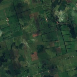
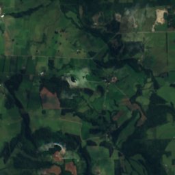
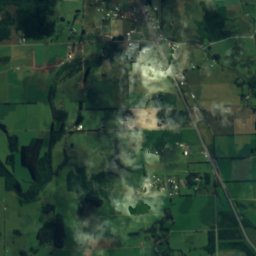
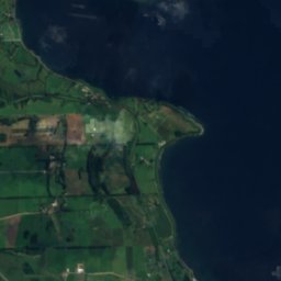

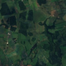
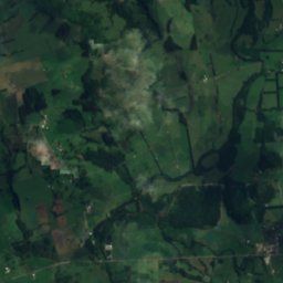
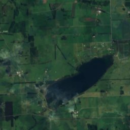
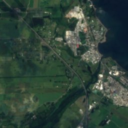
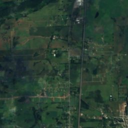
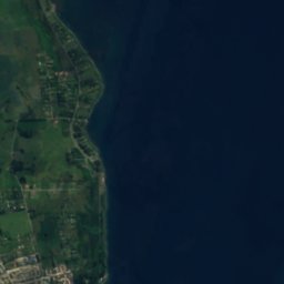
위성: Sentinel-2 cloudless 2016(EOX IT Services GmbH) · CC BY 4.0 · 수정된 Copernicus Sentinel 데이터(2016) 포함
Laguna Pichilaguna
호수 · 110 m

산

유산

Torre campanario del colegio San Francisco Javier


박물관·미술관


위성: Sentinel-2 cloudless 2016(EOX IT Services GmbH) · CC BY 4.0 · 수정된 Copernicus Sentinel 데이터(2016) 포함
Historical Museum of Puerto Montt
미술관


위성: Sentinel-2 cloudless 2016(EOX IT Services GmbH) · CC BY 4.0 · 수정된 Copernicus Sentinel 데이터(2016) 포함
Museo de Piedras de Monte Verde
2000