












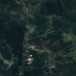
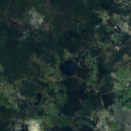
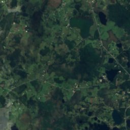
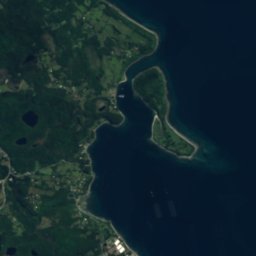

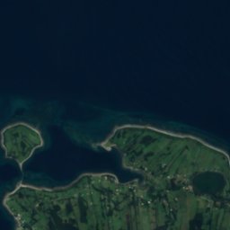
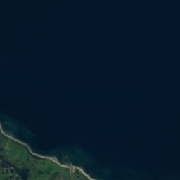


Satellite: Sentinel-2 cloudless 2016 by EOX IT Services GmbH · CC BY 4.0 · Contains modified Copernicus Sentinel data 2016
IslandPuerto Montt, Los Lagos Region
Isla Capenguapi
IslandBest Jan–Feb · Dec
Elevation–above sea level
Area–surface
Nearest townPuerto Montt15 km
41.60° S, 73.00° WUTC−3 · Chile Summer Time
When to goPuerto Montt · weather score
Best timeJan–Feb · Dec
October: high / low14° / 8°
Island
Isla Capenguapi in brief
Isla Capenguapi is an island in Puerto Montt, Los Lagos Region, Chile.
The nearest town in the atlas is Puerto Montt, 15 km to the N, where the weather is best in January, February and December.
Weather nearby now
Forecast for Puerto Montt13°
Cloudy now
Today
22 Oct
19°
13°
10 mm
Fri
23 Oct
18°
11°
12 mm
Sat
24 Oct
17°
11°
2 mm
Sun
25 Oct
16°
10°
Mon
26 Oct
17°
11°
1 mm
Model run 12:00 UTCRefreshed several times a day
Map
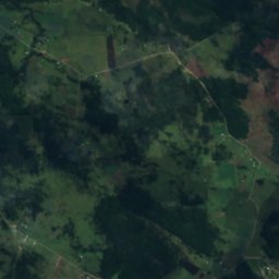
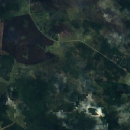
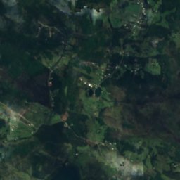
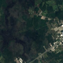
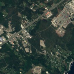
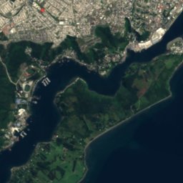
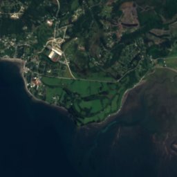
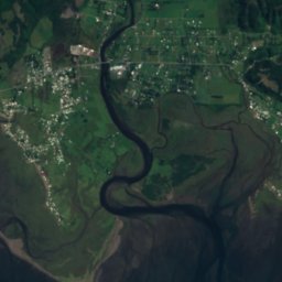
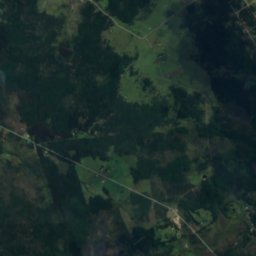
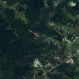
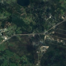
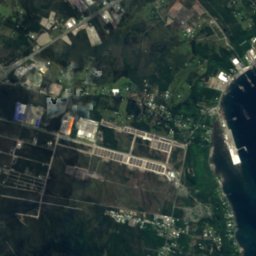
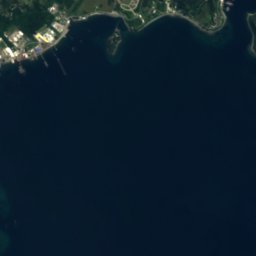
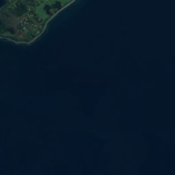
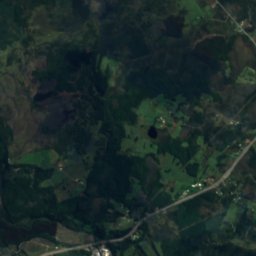
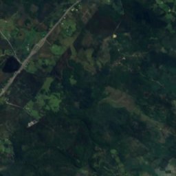
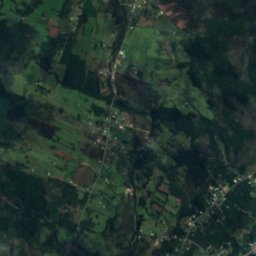
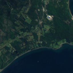
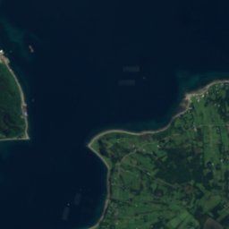
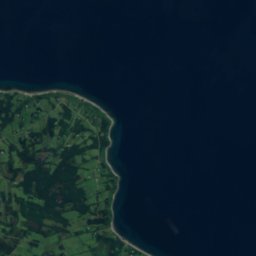
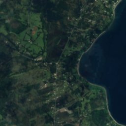
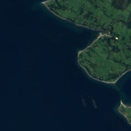
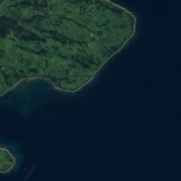
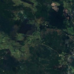
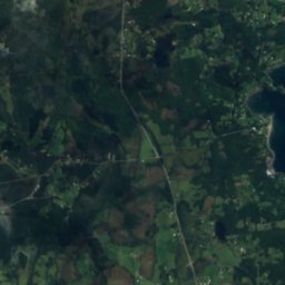
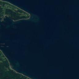
Isla Capenguapi from above
Nature nearbyAll of Chile
Satellite: Sentinel-2 cloudless 2016 by EOX IT Services GmbH · CC BY 4.0 · Contains modified Copernicus Sentinel data 2016
Satellite: Sentinel-2 cloudless 2016 by EOX IT Services GmbH · CC BY 4.0 · Contains modified Copernicus Sentinel data 2016
Satellite: Sentinel-2 cloudless 2016 by EOX IT Services GmbH · CC BY 4.0 · Contains modified Copernicus Sentinel data 2016
Satellite: Sentinel-2 cloudless 2016 by EOX IT Services GmbH · CC BY 4.0 · Contains modified Copernicus Sentinel data 2016
Satellite: Sentinel-2 cloudless 2016 by EOX IT Services GmbH · CC BY 4.0 · Contains modified Copernicus Sentinel data 2016
Satellite: Sentinel-2 cloudless 2016 by EOX IT Services GmbH · CC BY 4.0 · Contains modified Copernicus Sentinel data 2016
Stay nearby
Towns close by

Photo: Montaje realizado por Wikiedro. · CC BY-SA 4.0 · Wikimedia CommonsReport this photo · linked, not stored
Puerto Montt
Los Lagos Region · 15 km N
14°Oct high
6wet days
58score

Photo: Rodolfo Ditzel Lacoa · CC BY-SA 3.0 · Wikimedia CommonsReport this photo · linked, not stored
Calbuco
Los Lagos Region · 22 km SW
12°Oct high
6wet days
49score

Around here
Puerto Montt and around
Photo: Montaje realizado por Wikiedro. · CC BY-SA 4.0 · Wikimedia CommonsReport this photo · linked, not stored
Puerto Montt
Los Lagos Region · Chile
Jan–Feb · Decbest months
10°July high
11 maltitude
Nature
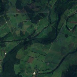
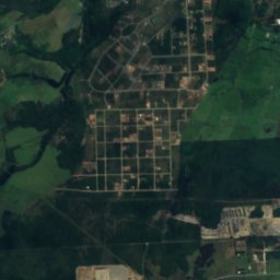
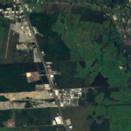
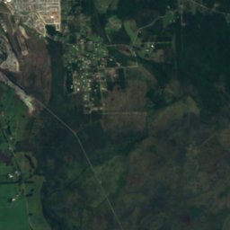
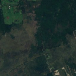
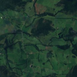
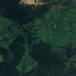
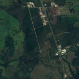
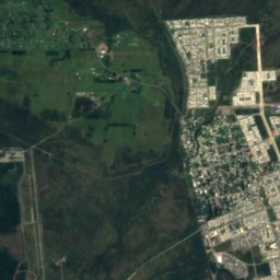
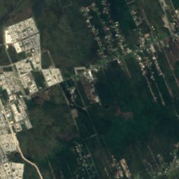
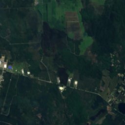
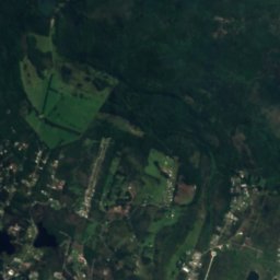
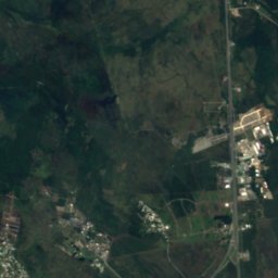
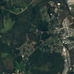
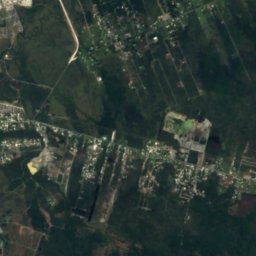
Satellite: Sentinel-2 cloudless 2016 by EOX IT Services GmbH · CC BY 4.0 · Contains modified Copernicus Sentinel data 2016
Estero Arrayán
River · 102 m
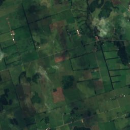
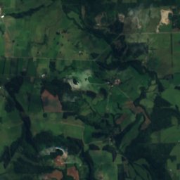
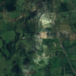
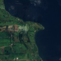

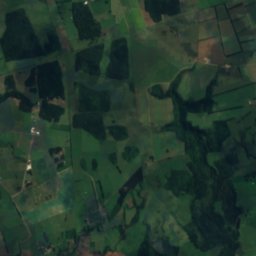
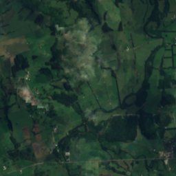
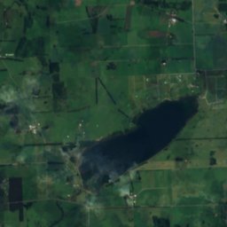
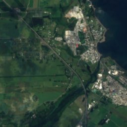
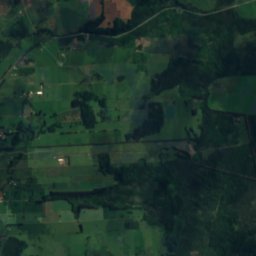
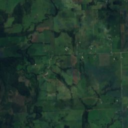
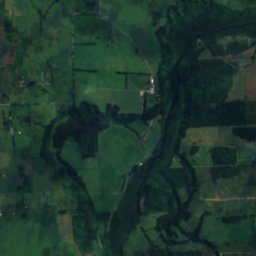
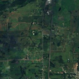
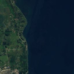
Satellite: Sentinel-2 cloudless 2016 by EOX IT Services GmbH · CC BY 4.0 · Contains modified Copernicus Sentinel data 2016
Laguna Pichilaguna
Lake · 110 m

Photo: Ministerio Bienes Nacionales · CC BY 2.0 · Wikimedia CommonsReport this photo · linked, not stored
Tenglo Island
Island · 27 m
Mountains

Heritage

Photo: Rodolfo Ditzel Lacoa · CC BY-SA 3.0 · Wikimedia CommonsReport this photo · linked, not stored
Torre campanario del colegio San Francisco Javier
Historical Monument of Chile

Photo: Rodolfo Ditzel Lacoa · CC BY-SA 3.0 · Wikimedia CommonsReport this photo · linked, not stored
Casa Pauly
Historical Monument of Chile

Museums
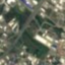
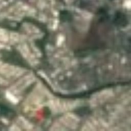
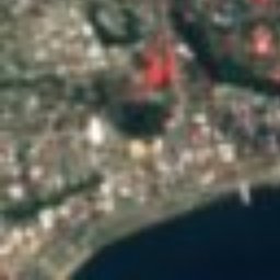


Satellite: Sentinel-2 cloudless 2016 by EOX IT Services GmbH · CC BY 4.0 · Contains modified Copernicus Sentinel data 2016
Historical Museum of Puerto Montt
Art museum


Satellite: Sentinel-2 cloudless 2016 by EOX IT Services GmbH · CC BY 4.0 · Contains modified Copernicus Sentinel data 2016
Museo de Piedras de Monte Verde
2000