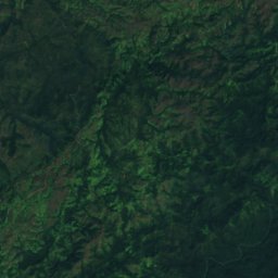
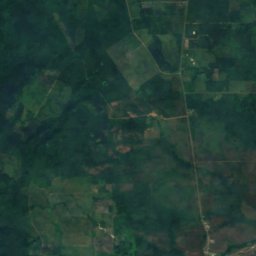
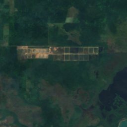
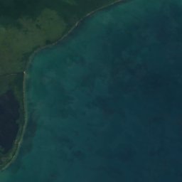
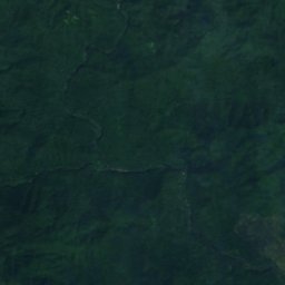
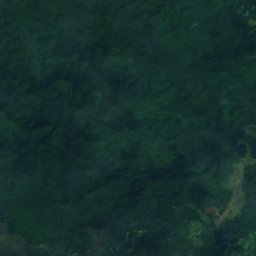
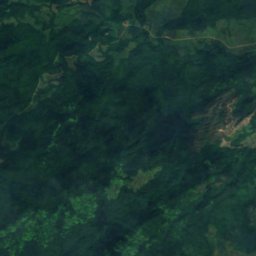
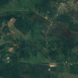
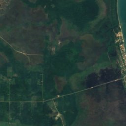
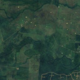
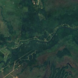
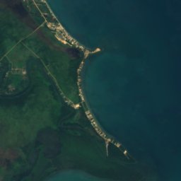
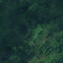
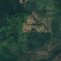
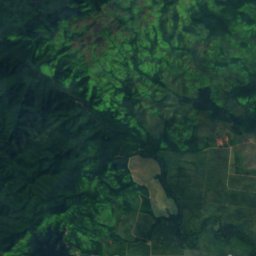

Satellite: Sentinel-2 cloudless 2016 by EOX IT Services GmbH · CC BY 4.0 · Contains modified Copernicus Sentinel data 2016
WaterfallSilk Grass, Southern District
Hellgate Run
Waterfall44 m elevationBest Feb–Apr
Elevation44 mabove sea level
Height–of the falls
Nearest townSilk Grass11 km
16.82° N, 88.41° WElevation 44 mUTC−6 · Central Standard Time
When to goSilk Grass · weather score
Best timeFeb–Apr
October: high / low30° / 24°
Waterfall
Hellgate Run in brief
Hellgate Run is a waterfall in Silk Grass, Southern District, Belize.
It lies at 44 m above sea level.
The nearest town in the atlas is Silk Grass, 11 km to the NE, where the weather is best in February, March and April.
Weather nearby now
Forecast for Silk Grass27°
Showers now
Today
22 Oct
30°
24°
8 mm
Fri
23 Oct
31°
23°
5 mm
Sat
24 Oct
31°
22°
1 mm
Sun
25 Oct
32°
23°
Mon
26 Oct
32°
22°
Model run 12:00 UTCRefreshed several times a day
When to go
Climate of Silk GrassThe best months around Hellgate Run
Month score in Silk Grass
Comfort, dry days and sunshine · out of 10057
Jan
61
Feb
61
Mar
64
Apr
42
May
33
Jun
37
Jul
37
Aug
32
Sep
39
Oct
50
Nov
56
Dec
Map
Hellgate Run from above
Nature nearbyAll of Belize
Satellite: Sentinel-2 cloudless 2016 by EOX IT Services GmbH · CC BY 4.0 · Contains modified Copernicus Sentinel data 2016
Satellite: Sentinel-2 cloudless 2016 by EOX IT Services GmbH · CC BY 4.0 · Contains modified Copernicus Sentinel data 2016
Satellite: Sentinel-2 cloudless 2016 by EOX IT Services GmbH · CC BY 4.0 · Contains modified Copernicus Sentinel data 2016
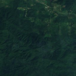
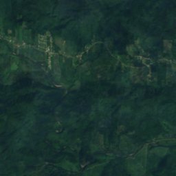
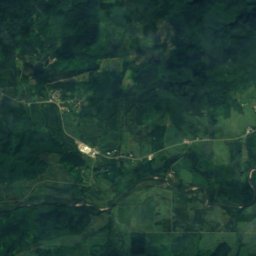
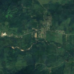
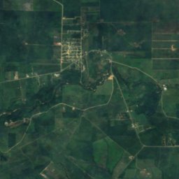
Satellite: Sentinel-2 cloudless 2016 by EOX IT Services GmbH · CC BY 4.0 · Contains modified Copernicus Sentinel data 2016
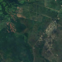
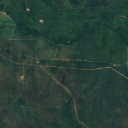
Satellite: Sentinel-2 cloudless 2016 by EOX IT Services GmbH · CC BY 4.0 · Contains modified Copernicus Sentinel data 2016
Satellite: Sentinel-2 cloudless 2016 by EOX IT Services GmbH · CC BY 4.0 · Contains modified Copernicus Sentinel data 2016
Summits nearbyMountains of Belize
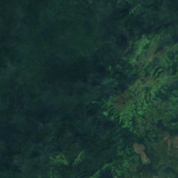
Satellite: Sentinel-2 cloudless 2016 by EOX IT Services GmbH · CC BY 4.0 · Contains modified Copernicus Sentinel data 2016
Satellite: Sentinel-2 cloudless 2016 by EOX IT Services GmbH · CC BY 4.0 · Contains modified Copernicus Sentinel data 2016
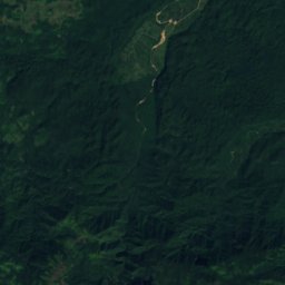
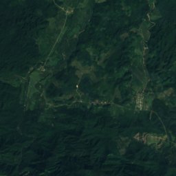
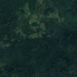
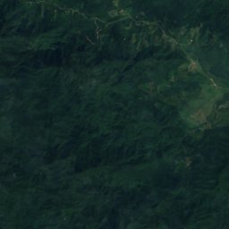
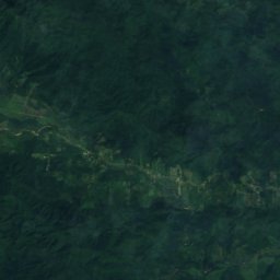
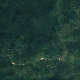
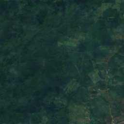
Satellite: Sentinel-2 cloudless 2016 by EOX IT Services GmbH · CC BY 4.0 · Contains modified Copernicus Sentinel data 2016
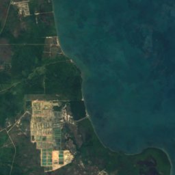
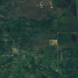
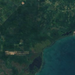
Satellite: Sentinel-2 cloudless 2016 by EOX IT Services GmbH · CC BY 4.0 · Contains modified Copernicus Sentinel data 2016
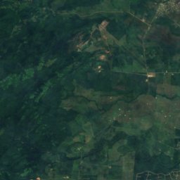
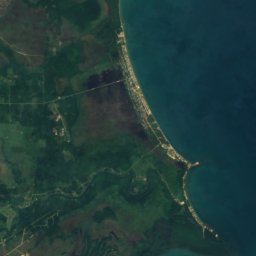
Satellite: Sentinel-2 cloudless 2016 by EOX IT Services GmbH · CC BY 4.0 · Contains modified Copernicus Sentinel data 2016

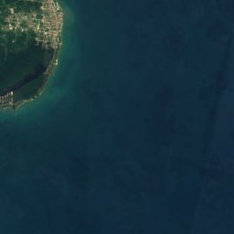
Satellite: Sentinel-2 cloudless 2016 by EOX IT Services GmbH · CC BY 4.0 · Contains modified Copernicus Sentinel data 2016
Stay nearby
Towns close by
Satellite: Sentinel-2 cloudless 2016 by EOX IT Services GmbH · CC BY 4.0 · Contains modified Copernicus Sentinel data 2016
Silk Grass
Southern District · 11 km NE
30°Oct high
25wet days
39score
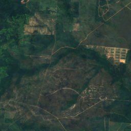
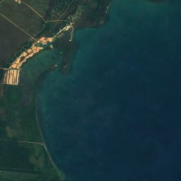
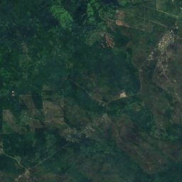
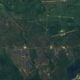
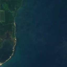
Satellite: Sentinel-2 cloudless 2016 by EOX IT Services GmbH · CC BY 4.0 · Contains modified Copernicus Sentinel data 2016
Santa Cruz
Southern District · 14 km S
30°Oct high
25wet days
38score

Photo: Flickr user Walter Rodriguez · CC BY 2.0 · Wikimedia CommonsReport this photo · linked, not stored
Hopkins
Southern District · 14 km E
30°Oct high
25wet days
40score
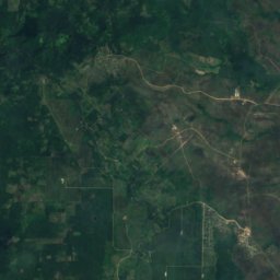
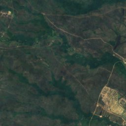
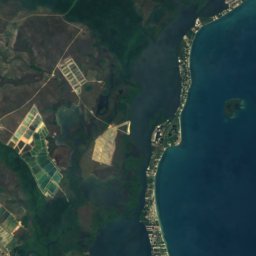

Satellite: Sentinel-2 cloudless 2016 by EOX IT Services GmbH · CC BY 4.0 · Contains modified Copernicus Sentinel data 2016
Santa Rosa Village
Southern District · 18 km S
30°Oct high
25wet days
38score
Around here
Silk Grass and around
Satellite: Sentinel-2 cloudless 2016 by EOX IT Services GmbH · CC BY 4.0 · Contains modified Copernicus Sentinel data 2016
Silk Grass
Southern District · Belize
Feb–Aprbest months
31°July high
17 maltitude
Nature
Satellite: Sentinel-2 cloudless 2016 by EOX IT Services GmbH · CC BY 4.0 · Contains modified Copernicus Sentinel data 2016
Mayflower Bocawina National Park
National park
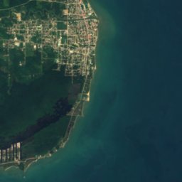


Satellite: Sentinel-2 cloudless 2016 by EOX IT Services GmbH · CC BY 4.0 · Contains modified Copernicus Sentinel data 2016
Freshwater Creek Lagoon
Lake · 2 m
Satellite: Sentinel-2 cloudless 2016 by EOX IT Services GmbH · CC BY 4.0 · Contains modified Copernicus Sentinel data 2016
Commerce Bight Lagoon
Lake · 3 m
Mountains
Satellite: Sentinel-2 cloudless 2016 by EOX IT Services GmbH · CC BY 4.0 · Contains modified Copernicus Sentinel data 2016
Victoria Peak
1,120 m · Maya Mountains