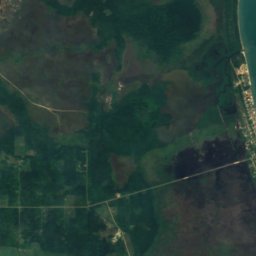
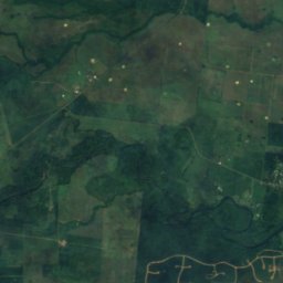
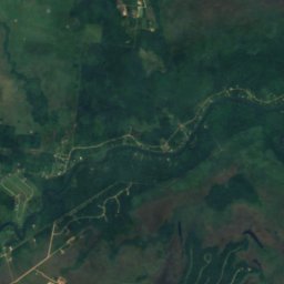
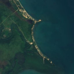
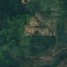
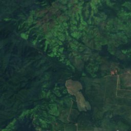

Satellit: Sentinel-2 cloudless 2016 by EOX IT Services GmbH · CC BY 4.0 · Contains modified Copernicus Sentinel data 2016
WasserfallSilk Grass, Southern District
Hellgate Run
Wasserfall44 m HöheAm besten Feb.–Apr.
Höhe44 müber dem Meer
Fallhöhe–des Wasserfalls
Nächster OrtSilk Grass11 km
16,82° N, 88,41° WHöhe 44 mUTC−6 · Nordamerikanische Zentral-Normalzeit
ReisezeitSilk Grass · Wetterwertung
Beste ZeitFeb.–Apr.
Oktober: Max. / Min.30° / 24°
Wasserfall
Hellgate Run in Kürze
Hellgate Run ist ein Wasserfall in Silk Grass, Southern District, Belize.
Er liegt 44 m über dem Meer.
Der nächste Ort ist Silk Grass, 11 km nordöstlich; dort ist das Wetter im Februar, März und April am besten.
Wetter in der Nähe
Vorhersage für Silk Grass25°
Klar – jetzt
Heute
26. Okt.
33°
23°
Di
27. Okt.
33°
23°
2 mm
Mi
28. Okt.
32°
23°
1 mm
Do
29. Okt.
32°
23°
1 mm
Fr
30. Okt.
33°
23°
Modelllauf 12:00 UTCMehrmals täglich aktualisiert
Reisezeit
Klima in Silk GrassDie besten Monate rund um Hellgate Run
Monats-Score in Silk Grass
Komfort, trockene Tage und Sonne · von 10057
Jan.
61
Feb.
61
März
64
Apr.
42
Mai
33
Juni
37
Juli
37
Aug.
32
Sep.
39
Okt.
50
Nov.
56
Dez.
Karte
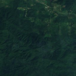
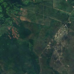
Hellgate Run von oben
Natur in der NäheAlles in Belize
Satellit: Sentinel-2 cloudless 2016 by EOX IT Services GmbH · CC BY 4.0 · Contains modified Copernicus Sentinel data 2016
Satellit: Sentinel-2 cloudless 2016 by EOX IT Services GmbH · CC BY 4.0 · Contains modified Copernicus Sentinel data 2016
Satellit: Sentinel-2 cloudless 2016 by EOX IT Services GmbH · CC BY 4.0 · Contains modified Copernicus Sentinel data 2016
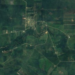
Satellit: Sentinel-2 cloudless 2016 by EOX IT Services GmbH · CC BY 4.0 · Contains modified Copernicus Sentinel data 2016
Satellit: Sentinel-2 cloudless 2016 by EOX IT Services GmbH · CC BY 4.0 · Contains modified Copernicus Sentinel data 2016
Satellit: Sentinel-2 cloudless 2016 by EOX IT Services GmbH · CC BY 4.0 · Contains modified Copernicus Sentinel data 2016
Gipfel in der NäheBerge in Belize
Satellit: Sentinel-2 cloudless 2016 by EOX IT Services GmbH · CC BY 4.0 · Contains modified Copernicus Sentinel data 2016
Satellit: Sentinel-2 cloudless 2016 by EOX IT Services GmbH · CC BY 4.0 · Contains modified Copernicus Sentinel data 2016
Satellit: Sentinel-2 cloudless 2016 by EOX IT Services GmbH · CC BY 4.0 · Contains modified Copernicus Sentinel data 2016
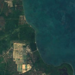
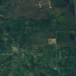
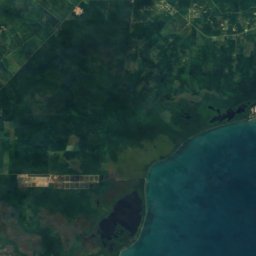
Satellit: Sentinel-2 cloudless 2016 by EOX IT Services GmbH · CC BY 4.0 · Contains modified Copernicus Sentinel data 2016
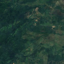
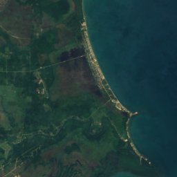
Satellit: Sentinel-2 cloudless 2016 by EOX IT Services GmbH · CC BY 4.0 · Contains modified Copernicus Sentinel data 2016

Satellit: Sentinel-2 cloudless 2016 by EOX IT Services GmbH · CC BY 4.0 · Contains modified Copernicus Sentinel data 2016
Übernachten
Orte ganz in der Nähe
Satellit: Sentinel-2 cloudless 2016 by EOX IT Services GmbH · CC BY 4.0 · Contains modified Copernicus Sentinel data 2016
Silk Grass
Southern District · 11 km NO
30°max. Okt.
25Regentage
39Score
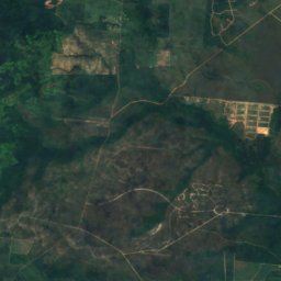
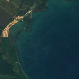
Satellit: Sentinel-2 cloudless 2016 by EOX IT Services GmbH · CC BY 4.0 · Contains modified Copernicus Sentinel data 2016
Santa Cruz
Southern District · 14 km S
30°max. Okt.
25Regentage
38Score

Foto: Flickr user Walter Rodriguez · CC BY 2.0 · Wikimedia CommonsFoto melden · verlinkt, nicht gespeichert
Hopkins
Southern District · 14 km O
30°max. Okt.
25Regentage
40Score

Satellit: Sentinel-2 cloudless 2016 by EOX IT Services GmbH · CC BY 4.0 · Contains modified Copernicus Sentinel data 2016
Santa Rosa Village
Southern District · 18 km S
30°max. Okt.
25Regentage
38Score
In der Umgebung
Silk Grass und Umgebung
Satellit: Sentinel-2 cloudless 2016 by EOX IT Services GmbH · CC BY 4.0 · Contains modified Copernicus Sentinel data 2016
Silk Grass
Southern District · Belize
Feb.–Apr.beste Monate
31°max. im Juli
17 mHöhe
Natur
Satellit: Sentinel-2 cloudless 2016 by EOX IT Services GmbH · CC BY 4.0 · Contains modified Copernicus Sentinel data 2016
Mayflower Bocawina National Park
Nationalpark


Satellit: Sentinel-2 cloudless 2016 by EOX IT Services GmbH · CC BY 4.0 · Contains modified Copernicus Sentinel data 2016
Freshwater Creek Lagoon
See · 2 m
Satellit: Sentinel-2 cloudless 2016 by EOX IT Services GmbH · CC BY 4.0 · Contains modified Copernicus Sentinel data 2016
Commerce Bight Lagoon
See · 3 m
Berge
Satellit: Sentinel-2 cloudless 2016 by EOX IT Services GmbH · CC BY 4.0 · Contains modified Copernicus Sentinel data 2016
Victoria Peak
1.120 m · Maya Mountains