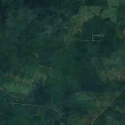
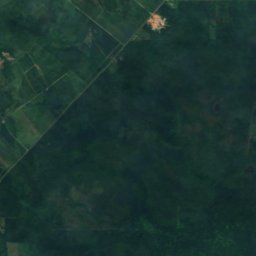
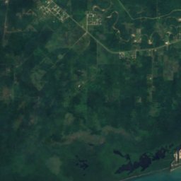
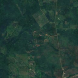
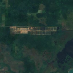
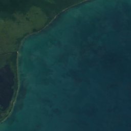
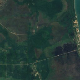
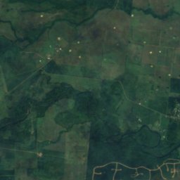
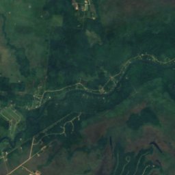
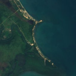
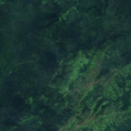
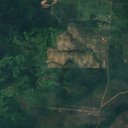
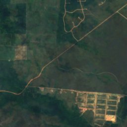
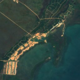
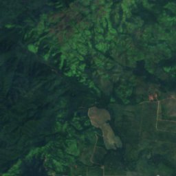
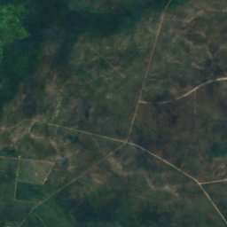
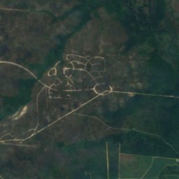
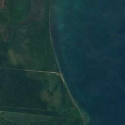

衛星: Sentinel-2 cloudless 2016(EOX IT Services GmbH) · CC BY 4.0 · 改変したCopernicus Sentinelデータ(2016年)を含みます
滝Silk Grass, Southern District
Hellgate Run
滝標高44 mベスト 2月–4月
標高44 m海抜
落差–滝
最寄りの地点Silk Grass11 km
北緯16.82°、西経88.41°標高 44 mUTC−6 · 米国中部標準時
旅行時期Silk Grass · 天気スコア
ベストシーズン2月–4月
10月:最高 / 最低30° / 24°
滝
Hellgate Run 概要
Hellgate Runはベリーズ(Southern District)にある滝です。
標高44 mです。
最も近い地点は、北東に11 km離れたSilk Grassです。そこで天気が最も快適なのは2月、3月、4月です。
周辺の現在の天気
Silk Grassの天気予報26°
現在の天気:曇り
今日
10月25日
33°
23°
月
10月26日
33°
23°
1 mm
火
10月27日
31°
24°
1 mm
水
10月28日
33°
23°
木
10月29日
32°
23°
1 mm
モデル計算時刻 12:00 UTC1 日に数回更新
いつ行くか
Silk Grassの気候Hellgate Run:ベストシーズン
Silk Grassの月別評価
快適さ、雨の降らない日数、日照 · 100 点満点57
1月
61
2月
61
3月
64
4月
42
5月
33
6月
37
7月
37
8月
32
9月
39
10月
50
11月
56
12月
地図
Hellgate Run 上空から
周辺の自然全国
衛星: Sentinel-2 cloudless 2016(EOX IT Services GmbH) · CC BY 4.0 · 改変したCopernicus Sentinelデータ(2016年)を含みます
衛星: Sentinel-2 cloudless 2016(EOX IT Services GmbH) · CC BY 4.0 · 改変したCopernicus Sentinelデータ(2016年)を含みます
衛星: Sentinel-2 cloudless 2016(EOX IT Services GmbH) · CC BY 4.0 · 改変したCopernicus Sentinelデータ(2016年)を含みます
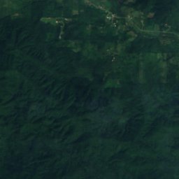
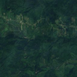
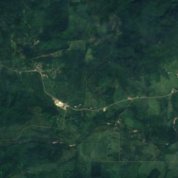
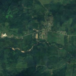
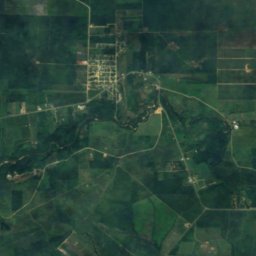
衛星: Sentinel-2 cloudless 2016(EOX IT Services GmbH) · CC BY 4.0 · 改変したCopernicus Sentinelデータ(2016年)を含みます
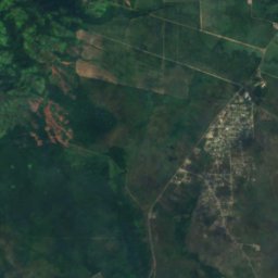
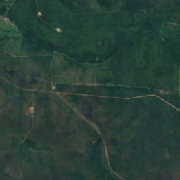
衛星: Sentinel-2 cloudless 2016(EOX IT Services GmbH) · CC BY 4.0 · 改変したCopernicus Sentinelデータ(2016年)を含みます
衛星: Sentinel-2 cloudless 2016(EOX IT Services GmbH) · CC BY 4.0 · 改変したCopernicus Sentinelデータ(2016年)を含みます
周辺の山頂ベリーズの山
衛星: Sentinel-2 cloudless 2016(EOX IT Services GmbH) · CC BY 4.0 · 改変したCopernicus Sentinelデータ(2016年)を含みます
衛星: Sentinel-2 cloudless 2016(EOX IT Services GmbH) · CC BY 4.0 · 改変したCopernicus Sentinelデータ(2016年)を含みます
衛星: Sentinel-2 cloudless 2016(EOX IT Services GmbH) · CC BY 4.0 · 改変したCopernicus Sentinelデータ(2016年)を含みます
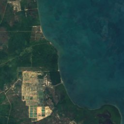
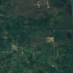
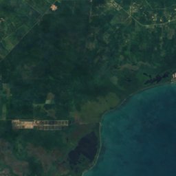
衛星: Sentinel-2 cloudless 2016(EOX IT Services GmbH) · CC BY 4.0 · 改変したCopernicus Sentinelデータ(2016年)を含みます
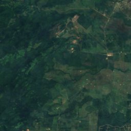
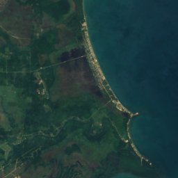
衛星: Sentinel-2 cloudless 2016(EOX IT Services GmbH) · CC BY 4.0 · 改変したCopernicus Sentinelデータ(2016年)を含みます

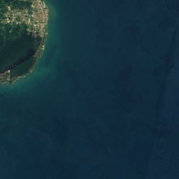
衛星: Sentinel-2 cloudless 2016(EOX IT Services GmbH) · CC BY 4.0 · 改変したCopernicus Sentinelデータ(2016年)を含みます
近くに泊まる
すぐ近くの地点
衛星: Sentinel-2 cloudless 2016(EOX IT Services GmbH) · CC BY 4.0 · 改変したCopernicus Sentinelデータ(2016年)を含みます
Silk Grass
Southern District · 11 km 北東
30°10月の最高
25雨の日
39スコア
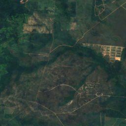
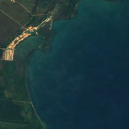
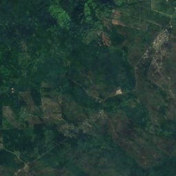
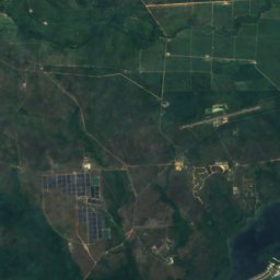
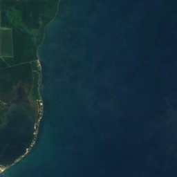
衛星: Sentinel-2 cloudless 2016(EOX IT Services GmbH) · CC BY 4.0 · 改変したCopernicus Sentinelデータ(2016年)を含みます
Santa Cruz
Southern District · 14 km 南
30°10月の最高
25雨の日
38スコア

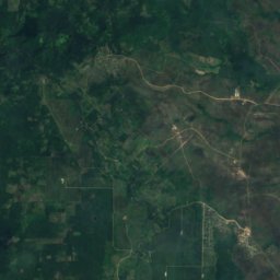
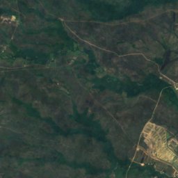
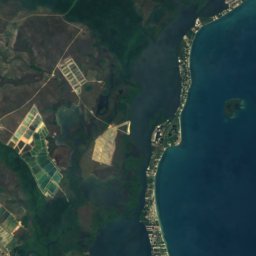

衛星: Sentinel-2 cloudless 2016(EOX IT Services GmbH) · CC BY 4.0 · 改変したCopernicus Sentinelデータ(2016年)を含みます
Santa Rosa Village
Southern District · 18 km 南
30°10月の最高
25雨の日
38スコア
周辺
Silk Grassとその周辺
衛星: Sentinel-2 cloudless 2016(EOX IT Services GmbH) · CC BY 4.0 · 改変したCopernicus Sentinelデータ(2016年)を含みます
Silk Grass
Southern District · ベリーズ
2月–4月ベストシーズン
31°7月の最高気温
17 m標高
自然
衛星: Sentinel-2 cloudless 2016(EOX IT Services GmbH) · CC BY 4.0 · 改変したCopernicus Sentinelデータ(2016年)を含みます
Mayflower Bocawina National Park
国立公園
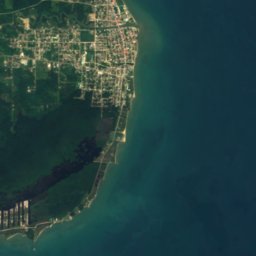


衛星: Sentinel-2 cloudless 2016(EOX IT Services GmbH) · CC BY 4.0 · 改変したCopernicus Sentinelデータ(2016年)を含みます
Freshwater Creek Lagoon
湖 · 2 m
衛星: Sentinel-2 cloudless 2016(EOX IT Services GmbH) · CC BY 4.0 · 改変したCopernicus Sentinelデータ(2016年)を含みます
Commerce Bight Lagoon
湖 · 3 m