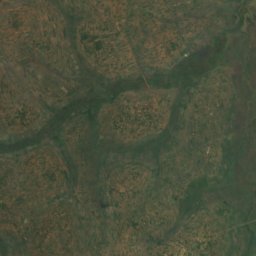
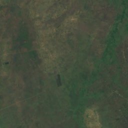
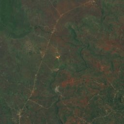
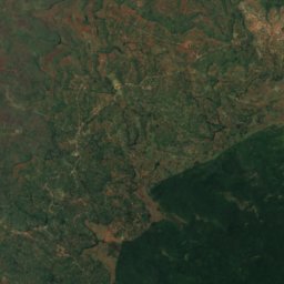
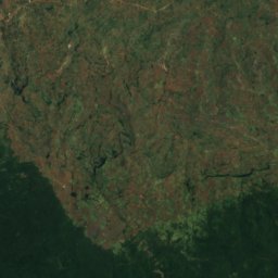
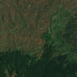
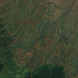
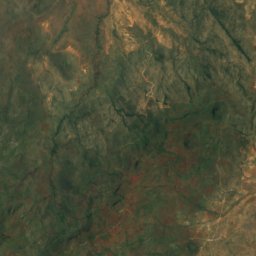
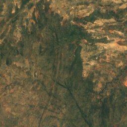
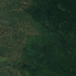
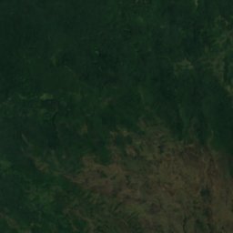
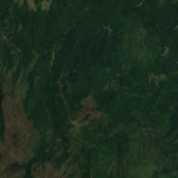
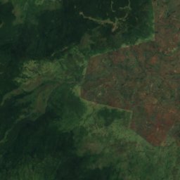
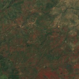
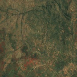
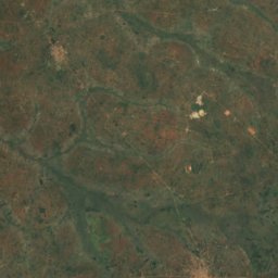
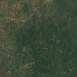
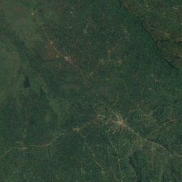
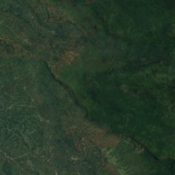
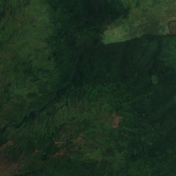
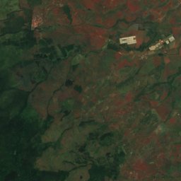
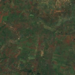
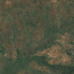
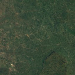
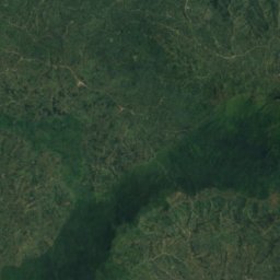
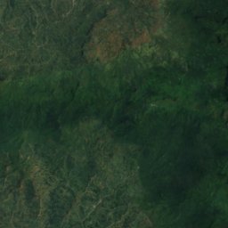
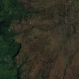
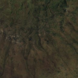
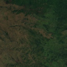
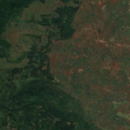
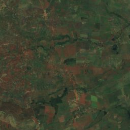
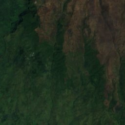
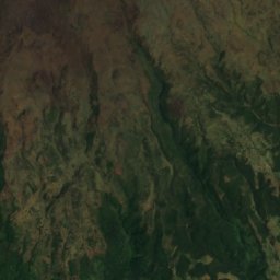
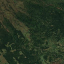
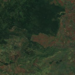
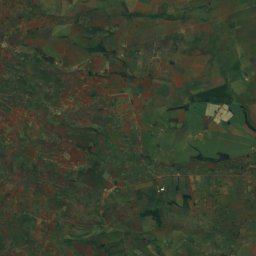
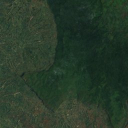
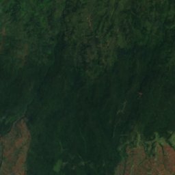
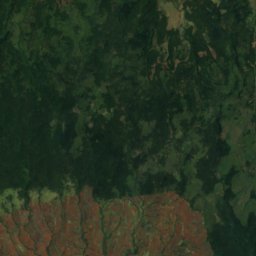
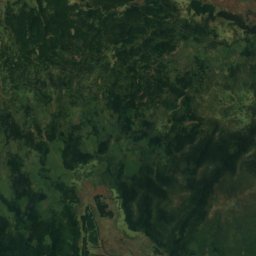

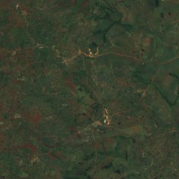
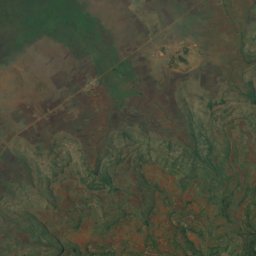
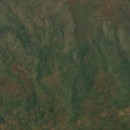
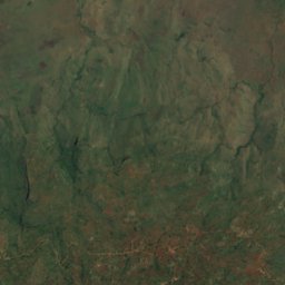
Satellite: Sentinel-2 cloudless 2016 by EOX IT Services GmbH · CC BY 4.0 · Contains modified Copernicus Sentinel data 2016

Photo: Image courtesy: NASA/JPL-Caltech · Public domain · Wikimedia Commons
Mount ElgonReport this photo · linked, not stored
Mount ElgonMount ElgonReport this photo · linked, not stored
Eastern Region · UgandaSummit weather, forecast and climate
Jacksons Summit
4,321 m
Elevation4,321 mabove sea level
Prominence–independent height
Isolation–to a higher summit
Summit, Jul8°average high
1.10° N, 34.53° EElevation 4,321 mUTC+3 · East Africa Time
From the valley to the top
- Summit4,321 m
- Mid-mountain3,120 m
- Valley · Kapchorwa1,915 m
Freezing level in October: above the summit
iThe mountain
Jacksons Summit in brief
Jacksons Summit rises to 4,321 m, Eastern Region, Uganda.
At the summit, February is the mildest month with average highs of 13°, while nights rarely fall below freezing.
The nearest town in the atlas is Kapchorwa, 34 km to the N at 1,915 m.
Facts
- Elevation
- 4,321 m · 14,177 ft
- Region
- Eastern Region
- Country
- Uganda
- Coordinates
- 1.1028, 34.5258
- Nearest airport
- Eldoret International Airport (EDL) · 111 km
iiForecast
Weather at three heights
Temperatures are adjusted to each height; summits are usually colder and windier than the valley forecast suggests.
Loading the latest forecast…
Loading the latest forecast…
Loading the latest forecast…
iiiSummit climate
The top of Jacksons Summit by month
Summit temperatures and precipitation
Climate normals for the summit area (~1 km grid), station-adjusted| Month | Jan | Feb | Mar | Apr | May | Jun | Jul | Aug | Sep | Oct | Nov | Dec |
|---|---|---|---|---|---|---|---|---|---|---|---|---|
| Average high | 12° | 13° | 13° | 11° | 10° | 9° | 8° | 8° | 10° | 10° | 10° | 11° |
| Average low | 3° | 4° | 4° | 4° | 3° | 2° | 2° | 2° | 3° | 3° | 3° | 3° |
| Precipitation | 173 mm | 181 mm | 388 mm | 599 mm | 527 mm | 362 mm | 443 mm | 532 mm | 445 mm | 512 mm | 436 mm | 203 mm |
| Cloud cover | 40% | 43% | 54% | 72% | 61% | 52% | 58% | 57% | 51% | 64% | 65% | 46% |
| Daylight | 12h 04 | 12h 05 | 12h 06 | 12h 08 | 12h 10 | 12h 11 | 12h 11 | 12h 09 | 12h 07 | 12h 05 | 12h 04 | 12h 03 |
| Month score | 29 | 34 | 28 | 11 | 12 | 16 | 13 | 14 | 16 | 11 | 10 | 21 |
Snow and freezing level
Average height of the 0 °C level from the summit normals (6.5 °C per km); snow months have a summit mean at or below +1 °C| Month | Jan | Feb | Mar | Apr | May | Jun | Jul | Aug | Sep | Oct | Nov | Dec |
|---|---|---|---|---|---|---|---|---|---|---|---|---|
| Freezing level | 5,450 m | 5,600 m | 5,600 m | 5,450 m | 5,350 m | 5,200 m | 5,050 m | 5,100 m | 5,250 m | 5,300 m | 5,250 m | 5,350 m |
| Summit | above 0 °C | above 0 °C | above 0 °C | above 0 °C | above 0 °C | above 0 °C | above 0 °C | above 0 °C | above 0 °C | above 0 °C | above 0 °C | above 0 °C |
ivTerrain
Jacksons Summit in 3D
vNeighbours
Mountains of UgandaPeaks nearby
| Mountain | Elevation | Prominence | Distance | July summit high |
|---|---|---|---|---|
| Mount Elgon | 4,321 m | 2,458 m | 1.8 km N | 8° |
| Wagagai | 4,234 m | – | 1.8 km NE | 9° |
| Mubiyi | 4,209 m | – | 5.6 km NE | 10° |
Around here
Kapchorwa and around
Nature


Mountains
Photo: Image courtesy: NASA/JPL-Caltech · Public domain · Wikimedia CommonsReport this photo · linked, not stored
Mount Elgon
4,321 m