
Photo: YPS · CC BY-SA 3.0 · Wikimedia Commons
Kloster GermerodeReport this photo · linked, not stored
Kloster GermerodeReport this photo · linked, not stored

Photo: Heinz K. S. · CC BY-SA 4.0 · Wikimedia Commons
Vockeröder LindengruppeReport this photo · linked, not stored
Vockeröder LindengruppeVockeröder LindengruppeReport this photo · linked, not stored

Photo: Heinz K. S. · CC BY-SA 4.0 · Wikimedia Commons
Evangelische Kirche AlberodeReport this photo · linked, not stored
Evangelische Kirche AlberodeEvangelische Kirche AlberodeReport this photo · linked, not stored

Photo: Foto von Hydro bei Wikipedia · CC BY-SA 4.0 · Wikimedia Commons
Kirche RodebachReport this photo · linked, not stored
Kirche RodebachKirche RodebachReport this photo · linked, not stored

Photo: Carlos-X · CC0 · Wikimedia Commons
Evangelische Kirche AbterodeReport this photo · linked, not stored
Evangelische Kirche AbterodeEvangelische Kirche AbterodeReport this photo · linked, not stored
religious communityWaldkappel, Hesse
Kloster Germerode
cultural heritage monument in HesseBuilt 1200
Typereligious community
Built1200
Best monthsMay · Aug–Sepweather in Waldkappel
51.19° N, 9.90° EUTC+1 · Central European Standard Time
Standing for826 years
built 1200today 2026
When to goWaldkappel · weather score
Best timeMay · Aug–Sep
October: high / low13° / 5°
iAbout
Kloster Germerode in brief
Kloster Germerode is a religious community in Waldkappel, Hesse, Germany. Monastery.
It holds the designation cultural heritage monument in Hesse.
The religious community dates from 1200.
For a visit, the weather in Waldkappel is best in May, August and September; in October afternoons average 13°.
Facts
- Type
- religious community
- Designation
- cultural heritage monument in Hesse
- Built
- 1200
- Nearest town
- Waldkappel
- Region
- Hesse
- Coordinates
- 51.19360, 9.90240
iiLocation
Where to find it
iiiWhen to visit
Climate guideWeather in Waldkappel
Month score for sightseeing
Best May · Aug–Sep15
Jan
21
Feb
22
Mar
53
Apr
65
May
64
Jun
65
Jul
66
Aug
70
Sep
39
Oct
16
Nov
13
Dec
ivNearby
All monuments in GermanyMore heritage close by
Evangelische Kirche Alberode
2.8 km SE
cultural heritage monument in Hesse
Photo: Foto von Hydro bei Wikipedia · CC BY-SA 4.0 · Wikimedia CommonsReport this photo · linked, not stored
Kirche Rodebach
3.0 km SW
cultural heritage monument in Hesse
Evangelische Kirche Abterode
3.0 km NE
cultural heritage monument in Hesse


Evangelische Kirche Wolfterode
3.4 km N
cultural heritage monument in Hesse
Around here
Waldkappel and around

Nature


Mountains
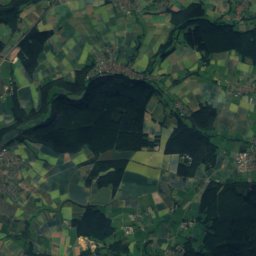
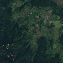
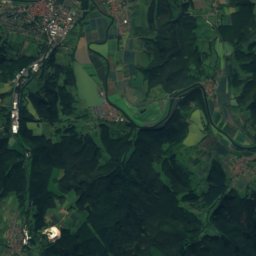
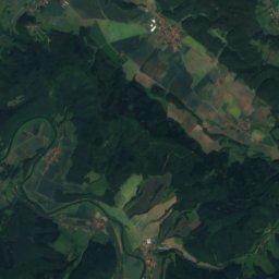
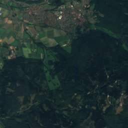
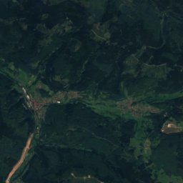
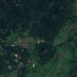
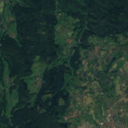
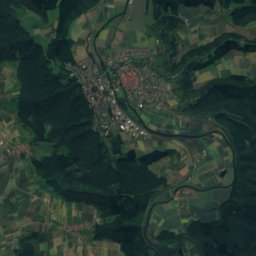
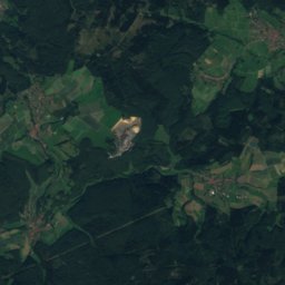
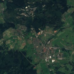
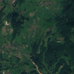
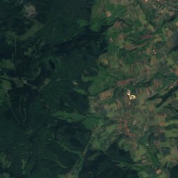
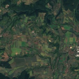
Satellite: Sentinel-2 cloudless 2016 by EOX IT Services GmbH · CC BY 4.0 · Contains modified Copernicus Sentinel data 2016
Kasseler Kuppe
754 m

Photo: © Heinrich Stürzl / Wikimedia Commons · CC BY-SA 4.0 · Wikimedia CommonsReport this photo · linked, not stored
Hoher Meissner
753 m

Heritage


Museums

Satellite: Sentinel-2 cloudless 2016 by EOX IT Services GmbH · CC BY 4.0 · Contains modified Copernicus Sentinel data 2016
Cornberger Sandsteinmuseum



Satellite: Sentinel-2 cloudless 2016 by EOX IT Services GmbH · CC BY 4.0 · Contains modified Copernicus Sentinel data 2016