
Photo: GeorgDerReisende · CC BY-SA 4.0 · Wikimedia Commons
EssebachReport this photo · linked, not stored
EssebachReport this photo · linked, not stored
 Losse

Photo: GeorgDerReisende · CC BY-SA 4.0 · Wikimedia Commons
MännerwasserReport this photo · linked, not stored
MännerwasserMännerwasserReport this photo · linked, not stored
 Frau-Holle-Teich

Photo: © Heinrich Stürzl / Wikimedia Commons · CC BY-SA 4.0 · Wikimedia Commons
Hoher MeissnerReport this photo · linked, not stored
Hoher MeissnerHoher MeissnerReport this photo · linked, not stored
RiverHessisch Lichtenau, Hesse
Essebach
River223 m elevationBest Jul–Sep
Elevation223 mabove sea level
Length12 kmsource to mouth
Nearest townHessisch Lichtenau2.0 km
51.18° N, 9.73° EElevation 223 mUTC+1 · Central European Standard Time
When to goHessisch Lichtenau · weather score
Best timeJul–Sep
October: high / low13° / 5°
River
Essebach in brief
Essebach is a river in Hessisch Lichtenau, Hesse, Germany.
It lies at 223 m above sea level.
The nearest town is Hessisch Lichtenau, 2.0 km to the N, where the weather is best in July, August and September.
Essebach is 12 km long.
Weather nearby now
Forecast for Hessisch Lichtenau9°
Cloudy now
Today
26 Oct
11°
6°
Tue
27 Oct
15°
7°
Wed
28 Oct
13°
5°
1 mm
Thu
29 Oct
13°
2°
Fri
30 Oct
12°
3°
Model run 12:00 UTCRefreshed several times a day
When to go
Climate of Hessisch LichtenauThe best months around Essebach
Month score in Hessisch Lichtenau
Comfort, dry days and sunshine · out of 10012
Jan
18
Feb
20
Mar
46
Apr
61
May
62
Jun
63
Jul
65
Aug
68
Sep
33
Oct
13
Nov
10
Dec
Map
Essebach from above
Nature nearbyAll of Germany

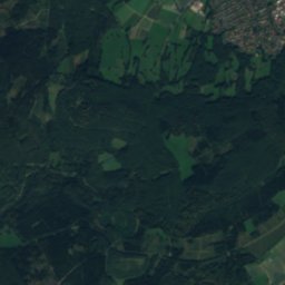
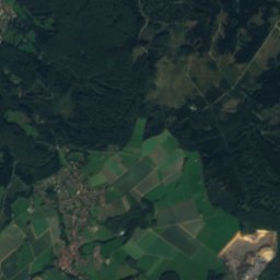
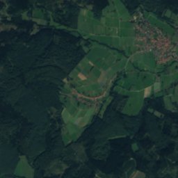
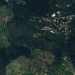
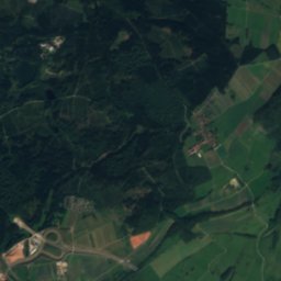
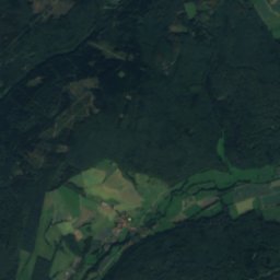
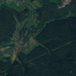
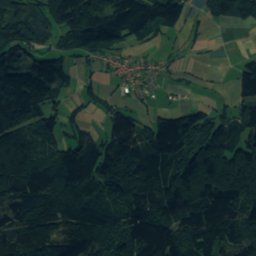
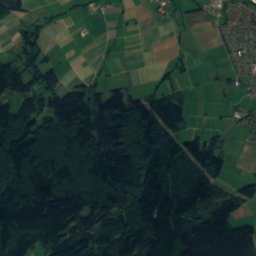
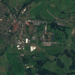
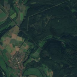
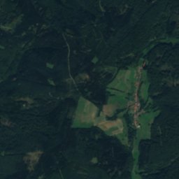
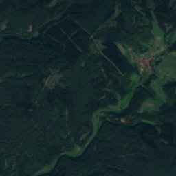
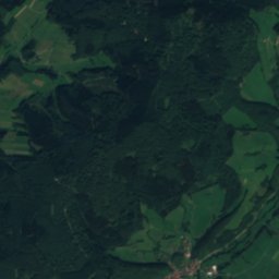
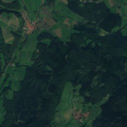
Satellite: Sentinel-2 cloudless 2016 by EOX IT Services GmbH · CC BY 4.0 · Contains modified Copernicus Sentinel data 2016
Satellite: Sentinel-2 cloudless 2016 by EOX IT Services GmbH · CC BY 4.0 · Contains modified Copernicus Sentinel data 2016
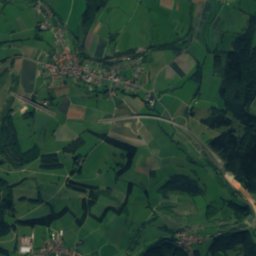
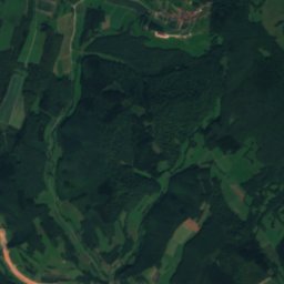
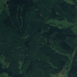
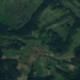
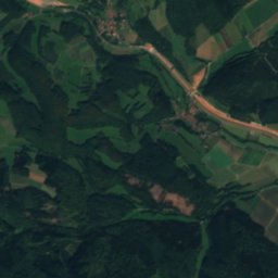
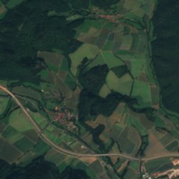
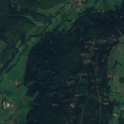
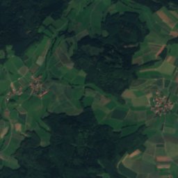
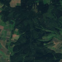
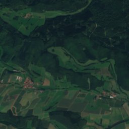
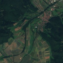
Satellite: Sentinel-2 cloudless 2016 by EOX IT Services GmbH · CC BY 4.0 · Contains modified Copernicus Sentinel data 2016


Summits nearbyMountains of Germany
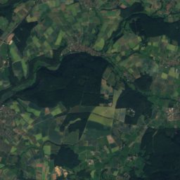
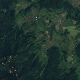
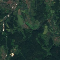
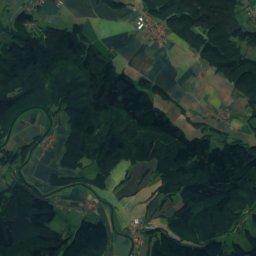
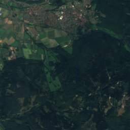
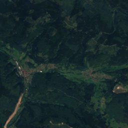
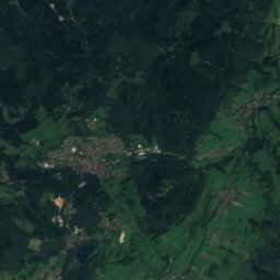
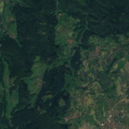
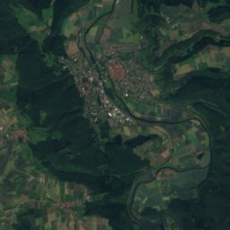
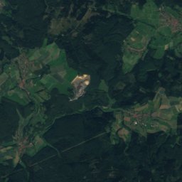
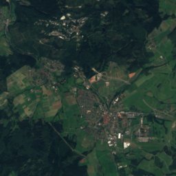
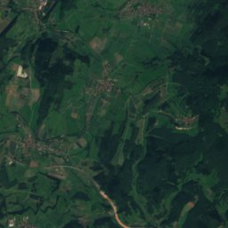
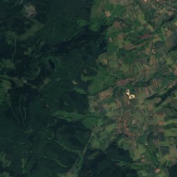
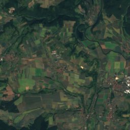
Satellite: Sentinel-2 cloudless 2016 by EOX IT Services GmbH · CC BY 4.0 · Contains modified Copernicus Sentinel data 2016

Photo: © Heinrich Stürzl / Wikimedia Commons · CC BY-SA 4.0 · Wikimedia CommonsReport this photo · linked, not stored


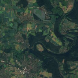
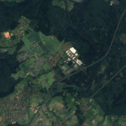
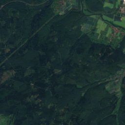
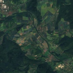
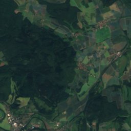
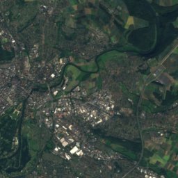
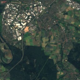
Satellite: Sentinel-2 cloudless 2016 by EOX IT Services GmbH · CC BY 4.0 · Contains modified Copernicus Sentinel data 2016
Stay nearby
Towns close by


Around here
Hessisch Lichtenau and around
Nature


Mountains
Satellite: Sentinel-2 cloudless 2016 by EOX IT Services GmbH · CC BY 4.0 · Contains modified Copernicus Sentinel data 2016
Kasseler Kuppe
754 m
Photo: © Heinrich Stürzl / Wikimedia Commons · CC BY-SA 4.0 · Wikimedia CommonsReport this photo · linked, not stored
Hoher Meissner
753 m

Heritage

Evangelische Kirche Hessisch Lichtenau
cultural heritage monument in Hesse


Chapel of the hospital St. Elisabeth in Spangenberg
cultural heritage monument in Hesse · 1341
Museums


Satellite: Sentinel-2 cloudless 2016 by EOX IT Services GmbH · CC BY 4.0 · Contains modified Copernicus Sentinel data 2016
Glas- und Keramikmuseum Großalmerode

Satellite: Sentinel-2 cloudless 2016 by EOX IT Services GmbH · CC BY 4.0 · Contains modified Copernicus Sentinel data 2016
Regionalmuseum Kaufungen


Satellite: Sentinel-2 cloudless 2016 by EOX IT Services GmbH · CC BY 4.0 · Contains modified Copernicus Sentinel data 2016