
Photo: Marcelo Páez Bermúdez · CC BY 2.0 · Wikimedia Commons
SewellReport this photo · linked, not stored
SewellReport this photo · linked, not stored
mining communityCoya, O'Higgins Region
Sewell
World Heritage Site
Typemining community
Built–
Best monthsApr · Oct–Novweather in Coya
34.09° S, 70.38° WUTC−3 · Chile Summer Time
When to goCoya · weather score
Best timeApr · Oct–Nov
October: high / low19° / 7°
iAbout
Sewell in brief
Sewell is a mining community in Coya, O'Higgins Region, Chile.
It holds the designation World Heritage Site.
For a visit, the weather in Coya is best in April, October and November; in October afternoons average 19°.
Facts
- Type
- mining community
- Designation
- World Heritage Site
- Nearest town
- Coya
- Region
- O'Higgins Region
- Coordinates
- -34.08500, -70.38250
iiLocation
Where to find it
iiiWhen to visit
Climate guideWeather in Coya
Month score for sightseeing
Best Apr · Oct–Nov81
Jan
82
Feb
89
Mar
92
Apr
79
May
55
Jun
50
Jul
64
Aug
80
Sep
92
Oct
92
Nov
90
Dec
Around here
Coya and around

Nature

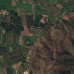
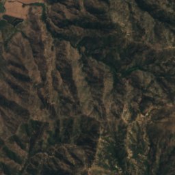
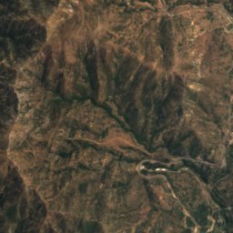
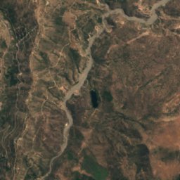
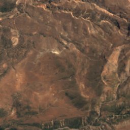
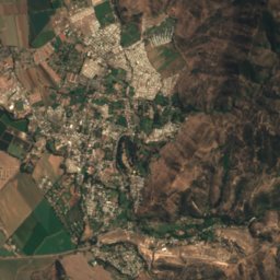
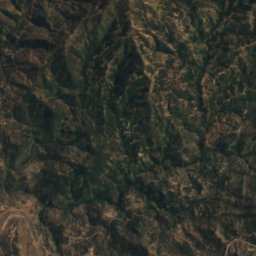
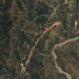
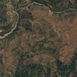
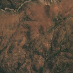
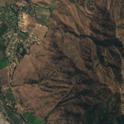
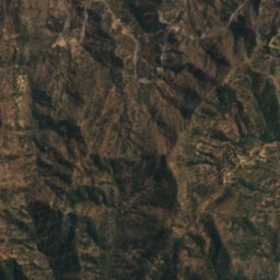
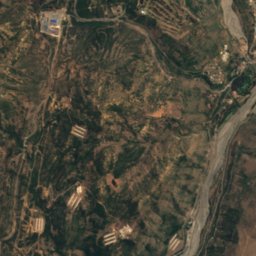
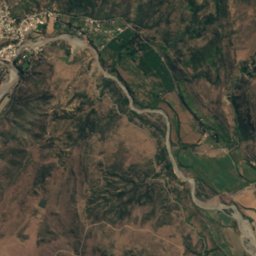
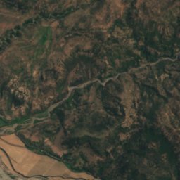
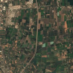
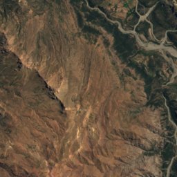
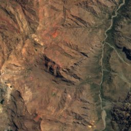
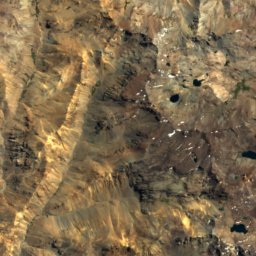
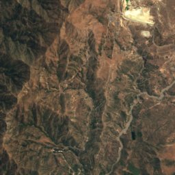
Satellite: Sentinel-2 cloudless 2016 by EOX IT Services GmbH · CC BY 4.0 · Contains modified Copernicus Sentinel data 2016
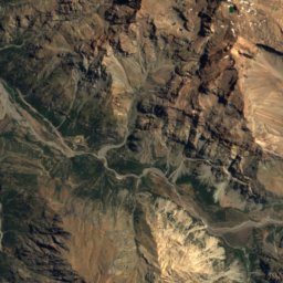
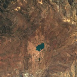
Río CoyaA
River

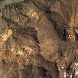
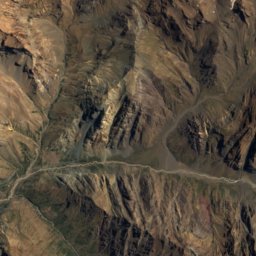
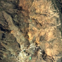
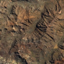
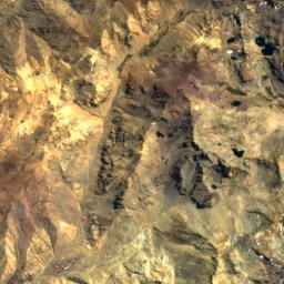
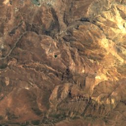
Mountains
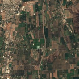
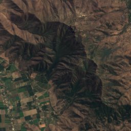
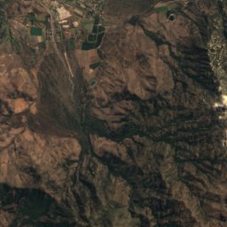
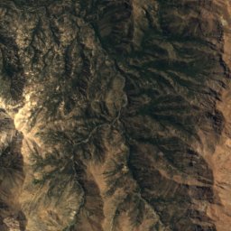
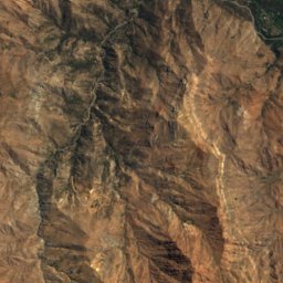
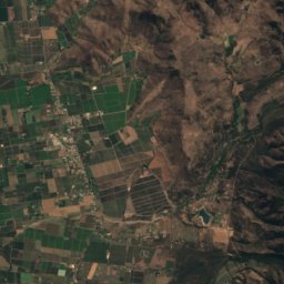
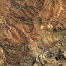
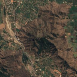
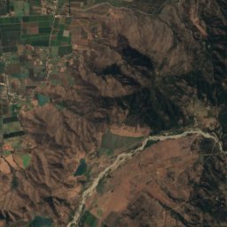
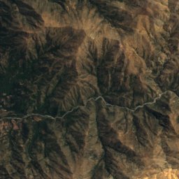
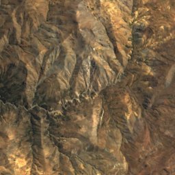
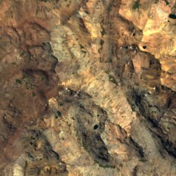
Satellite: Sentinel-2 cloudless 2016 by EOX IT Services GmbH · CC BY 4.0 · Contains modified Copernicus Sentinel data 2016
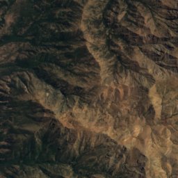
Cerro San Francisco
4,940 m
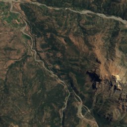
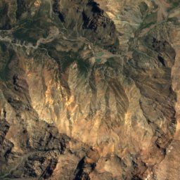
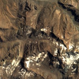
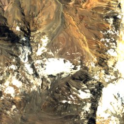
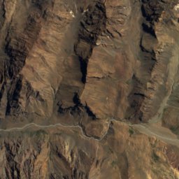
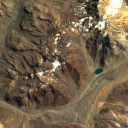
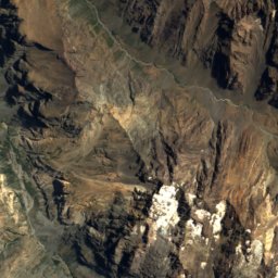
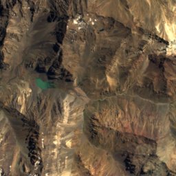
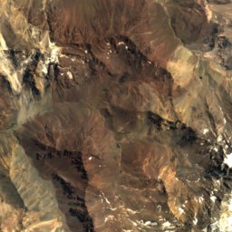
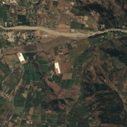
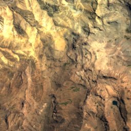
Satellite: Sentinel-2 cloudless 2016 by EOX IT Services GmbH · CC BY 4.0 · Contains modified Copernicus Sentinel data 2016
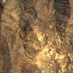
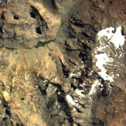
Cerro El Yeso
3,533 m
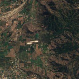
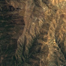
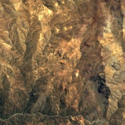
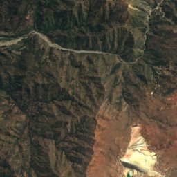
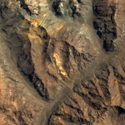
Satellite: Sentinel-2 cloudless 2016 by EOX IT Services GmbH · CC BY 4.0 · Contains modified Copernicus Sentinel data 2016
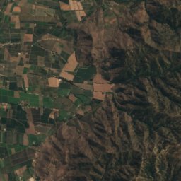
Cerro Lomas Bayas
3,363 m
Heritage

Photo: Marco Antonio Correa Flores · CC BY-SA 3.0 · Wikimedia CommonsReport this photo · linked, not stored
Población Errázuriz de Coya
Typical Zone (Chile)
Museums
Satellite: Sentinel-2 cloudless 2016 by EOX IT Services GmbH · CC BY 4.0 · Contains modified Copernicus Sentinel data 2016
Museo Comunitario Casa Uno de Coya
Archaeological museum


Satellite: Sentinel-2 cloudless 2016 by EOX IT Services GmbH · CC BY 4.0 · Contains modified Copernicus Sentinel data 2016