


Chile
O'Higgins Region
O'Higgins Region is one of the 16 regions of Chile; its largest place is Rancagua.
Best timeApr · Oct–Nov
Best weather in OctoberPichilemu 98
October: highs18° – 22°
Rain this month, on average24mm
Mean of its 20 best-known places. Best: Apr · Oct–Nov.
O'Higgins Region at a glance
The atlas follows 217 places here month by month, with 14 mountains and 29 monuments; across the most visited of them, the best months are April, October and November.
When to go to O'Higgins Region
The best places of every month here, and the average climate of the best-known ones.
| Jan | Feb | Mar | Apr | May | Jun | Jul | Aug | Sep | Oct | Nov | Dec | |
|---|---|---|---|---|---|---|---|---|---|---|---|---|
| Score | 80 | 83 | 92 | 94 | 86 | 60 | 69 | 74 | 89 | 96 | 96 | 88 |
| High | 29° | 28° | 26° | 22° | 18° | 15° | 15° | 16° | 18° | 21° | 25° | 27° |
| Low | 15° | 15° | 13° | 10° | 7° | 5° | 4° | 5° | 6° | 9° | 11° | 14° |
| Rain (mm) | 2 | 3 | 12 | 38 | 140 | 175 | 151 | 118 | 53 | 24 | 13 | 5 |
Places in O'Higgins Region
The best-known places with their score this month; every town and village is in the A to Z list below.
 96October
Rancagua
231k people
22° / 8°23 mm
98OctoberPichilemu
13k people
18° / 10°26 mm
96OctoberGraneros
36k people
22° / 9°19 mm
96OctoberRengo
38k people
22° / 9°25 mm
96OctoberColtauco
20k people
22° / 9°21 mm
 96October
Codegua
12k people
22° / 8°22 mm
 96October
Peumo
14k people
22° / 9°19 mm
 97October
Pichidegua
20k people
22° / 9°28 mm
3 districts, each with all of its towns and villages

Provincia de Cachapoal16 places · 536k · Rancagua

Provincia de Cardenal Caro6 places · 17k · Pichilemu

Provincia de Colchagua11 places · 115k · Palmilla
More towns and villages of O'Higgins Region · 184
Agua SantaÁlamoAlmahueAlto ColónAlto La CapellaníaAlto TumánAngosturaÁrbol NegroArturo PratBarrancasBellavistaCalle CadenasCallejonesCancha de MaiténCardonalCasablancaCasas ViejasCentral RapelChorrillosChumacoCochancoCoya2,493Cuesta El ParrónDeslindeEl ArrozalEl BoldoEl CajónEl CardonalEl CerrilloEl ChivatoEl CirueloEl CruceroEl EncancheEl EncantoEl EspinalilloEl FullingueEl GuindalEl GuindoEl HuingánEl Llano de La CruzEl ManzanoEl MolinoEl MonteEl NicheEl ParrónEl ParronalEl PeralEl PeralEl PeumalEl PlanchónEl PorvenirEl PotreroEl RincónEl SalvadorEl SauceEl SauceEl TropezónEl VientoFlor de ValleGuadalaoHuiqueLa AguadaLa AguadaLa AlbahacaLa ArgentinaLa CabañaLa CabreríaLa CapellaníaLa CercaLa EngordaLa Estacada AbajoLa Estacada ArribaLa GateraLa GranjaLa IglesiaLa MacarenaLa MatanzaLa Media Luna de CodeguaLa OlladaLa PalmeríaLa PimpinelaLa PitraLa PuntaLa PuntillaLa QuebradillaLa RucaLa SanchinaLa SirenaLa SoledadLa VillaLa VirgenLagunillasLas CanchillasLas DemasíaLas HijuelasLas JuntasLas PataguasLas PataguasLas PiedrasLas QuiscasLas TinajasLituecheLo BarreraLoretoLos AromosLos BoldosLos MayosLos MollesLos MorrosLos ParronesLos PeralesLos PinosLos PionerosLos PortezuelosLos PuyososLos YuyosMacarenaMal PasoMata RedondaMillacoMolinos QuemadosMollesNeuquénNilahueÑilhue del MedioPailimo GrandePalmillaParrónPaso Las ToscasPatria NuevaPidihuinco AltoPoco a PocoPunta AltaQuilamutaQuinta AltaQuinta Los RoblesRaquilResguardo CortaderalRincón de CañeténRincón del AbraRincón PolcuraRinconada de MalamboRinconada del TamboRío ClaroSagrado CorazónSalto de AguaSan AgustínSan AntonioSan CarlosSan GabrielSan GerónimoSan JoaquínSan Miguel de Los LlanasSan Miguel de VilucoSan RicardoSan RobertoSanta AmeliaSanta Ana de HuiqueSanta BlancaSanta CorneliaSanta EugeniaSanta GracielaSanta InésSanta InésSanta IreneSanta JuliaSanta LucíaSanta MargaritaSanta MatildeSanta SilvinaSanta VictoriaShangri-LaTermas del FlacoTierra ChilenaToquigua AbajoTres CaminosTunca del MedioTuncahueUcúquerVerde ValleVilla AlegreVilla Don BoscoViriviloVista Hermosa
O'Higgins Region from above
Every place scored for the month you pick: comfortable temperatures, dry days and clear skies.
OctoberMonth scores for O'Higgins Region
Photo: Carlos Figueroa Rojas · CC BY-SA 4.0 · Wikimedia CommonsReport this photo · linked, not stored


Photo: Marco Antonio Correa Flores · CC BY-SA 4.0 · Wikimedia CommonsReport this photo · linked, not stored

Photo: Marco Antonio Correa Flores · CC BY-SA 4.0 · Wikimedia CommonsReport this photo · linked, not stored


Photo: Marco Antonio Correa Flores · CC BY-SA 4.0 · Wikimedia CommonsReport this photo · linked, not stored


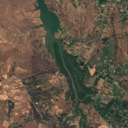
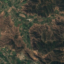
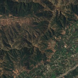
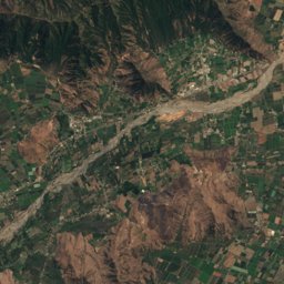
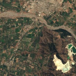
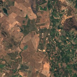
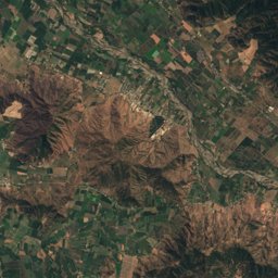
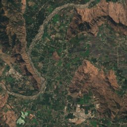
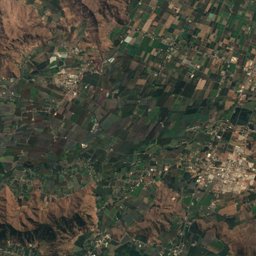
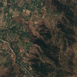
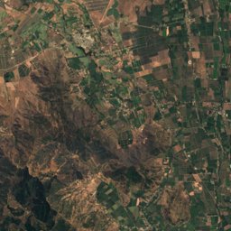
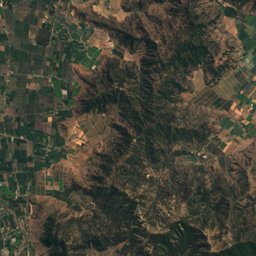
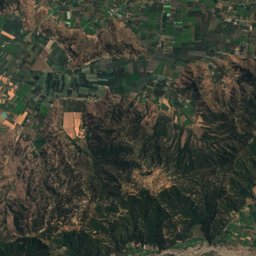
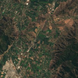
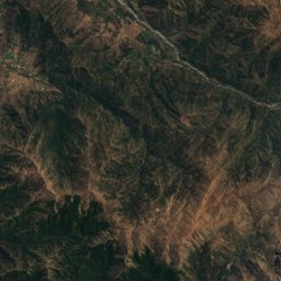
Satellite: Sentinel-2 cloudless 2016 by EOX IT Services GmbH · CC BY 4.0 · Contains modified Copernicus Sentinel data 2016


Photo: Marco Antonio Correa Flores · CC BY-SA 3.0 · Wikimedia CommonsReport this photo · linked, not stored

Photo: Gabriel Urrutia Galaz · CC BY-SA 2.0 · Wikimedia CommonsReport this photo · linked, not stored


Photo: Marco Antonio Correa Flores · CC BY-SA 4.0 · Wikimedia CommonsReport this photo · linked, not stored

Photo: Marco Antonio Correa Flores · CC BY-SA 3.0 · Wikimedia CommonsReport this photo · linked, not stored

Photo: Marco Antonio Correa Flores · CC BY-SA 3.0 · Wikimedia CommonsReport this photo · linked, not stored

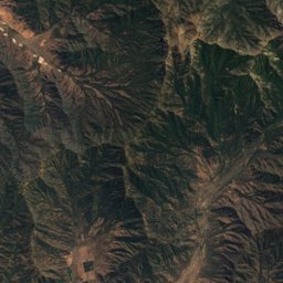
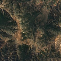
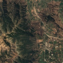
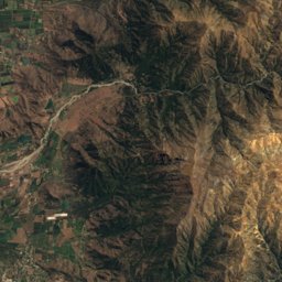
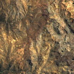
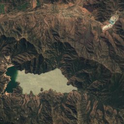
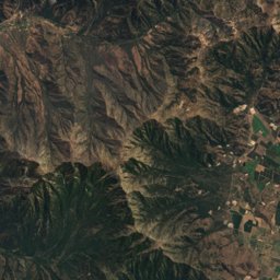
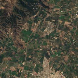
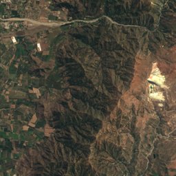
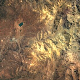
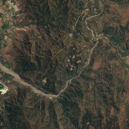
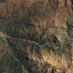
Satellite: Sentinel-2 cloudless 2016 by EOX IT Services GmbH · CC BY 4.0 · Contains modified Copernicus Sentinel data 2016


Nature in O'Higgins Region

Summit2,810 m
Cerro El Durazno (Machalí)
Summit2,409 m
Cerro Copado
River
Cachapoal River
National park
Las Palmas de Cocalán National Park
Lake
Lake Rapel
River
Estero La CadenaWildlife in October
The birds and mammals of Chile seen most this month, compared with the rest of their year.


Outdoors in O'Higgins Region
Culture in O'Higgins Region


What's on in O'Higgins Region
Getting to O'Higgins Region
Comodoro Arturo Merino Benítez International AirportSCL · Rancagua
86 kmSuboficial Ay Santiago Germano AirportAFA · Rancagua
219 kmGovernor Francisco Gabrielli International AirportMDZ · Rancagua
234 kmRancaguaRancagua
1.2 kmGranerosGraneros
0.4 kmRengoRengo
0.8 kmChimbarongoChimbarongo
0.2 kmTowns in O'Higgins Region from A to Z
The 26 main places; every village is listed on its district's page.