Skip to content
Destinations
Weather & climate
Nature
Outdoors
Culture
Events
Sky & live
Coya
Población Errázuriz de Coya
Pangal River (Cachapoal)
Embalse Barahona I
Embalse Barahona I
Cerro El Durazno (Machalí)
O'Higgins Region, Chile

Coya

Coya is a village in O'Higgins Region, Chile, 803 m above sea level. It has a population of about 2,493. The climate is classified as warm-summer Mediterranean (Köppen Csb), with dry, sunny summers and mild, wetter winters.

Now17°C
Best timeApr · Oct–Nov
Population2,493
Local time14:03
34.21° S, 70.53° WElevation 803 mUTC−3 · Chile Summer Time
The year in Coyaweather score
JanFebMarAprMayJunJulAugSepOctNovDec92October
October: high / low19° / 7°
Rain this month30mm
Best timeApr · Oct–Nov

Best: Apr · Oct–Nov. Warmth, sunshine and dry days, month by month.

Coya at a glance

Best time to visitApr · Oct–Nov

The months with the highest weather score

Warmest month27°C

Average high in January

Coolest month2°C

Average low in July

Wettest monthJune

218 mm of rain

Driest monthJanuary

6 mm of rain

Monuments nearby1+

within 0.1 km

Weather in Coya

Now and the next ten days. The 14 and 30-day outlooks are one click away.

14-day forecast
17°C

Rain · wind 1 km/h · humidity 64%

Today hour by hour
Today22 Oct17°8°26.6 mm
Fri23 Oct16°7°25.4 mm
Sat24 Oct15°6°8.4 mm
Sun25 Oct24°6°
Mon26 Oct18°14°3.4 mm
Tue27 Oct20°12°1.5 mm
Wed28 Oct23°10°1 mm
Thu29 Oct23°11°0.5 mm
Fri30 Oct25°12°
Sat31 Oct22°13°3.4 mm

When to go to Coya

Each month's weather score (warmth, sun, dry days) with its temperatures and rain.

Climate month by month
JanFebMarAprMayJunJulAugSepOctNovDec
Score818289927955506480929290
High27°27°26°22°17°13°12°14°16°19°23°26°
Low15°15°13°9°6°4°2°3°5°7°10°13°
Rain (mm)68195715821820014472302110
Wet days444367654333

What's on in Coya

Concerts, football matches, the public holidays ahead and the town's festivals through the year.

Monuments and museums in Coya

All monuments

More museums: Museo Interpretativo Reserva Río Cipreses

Outdoors around Coya

Hiking routes from the town, and what there is to do within 15 km: huts, viewpoints, climbing, camping, ski areas and dive sites.

Things to do
CañónViewpoints
0.2 km
Cerro de la BanderaViewpoints
1.2 km
Club de Campo CoyaGolf courses
1.7 km
Termas de CauquenesHot springs & thermal baths
5.3 km
Camping HuinganesCamp sites
5.9 km
Refugio de ArrierosMountain huts
11 km
Centro de Ski Chapa VerdeSki area · 26 km of pistes · 6 lifts
21 km

Nature around Coya

Nature in Chile

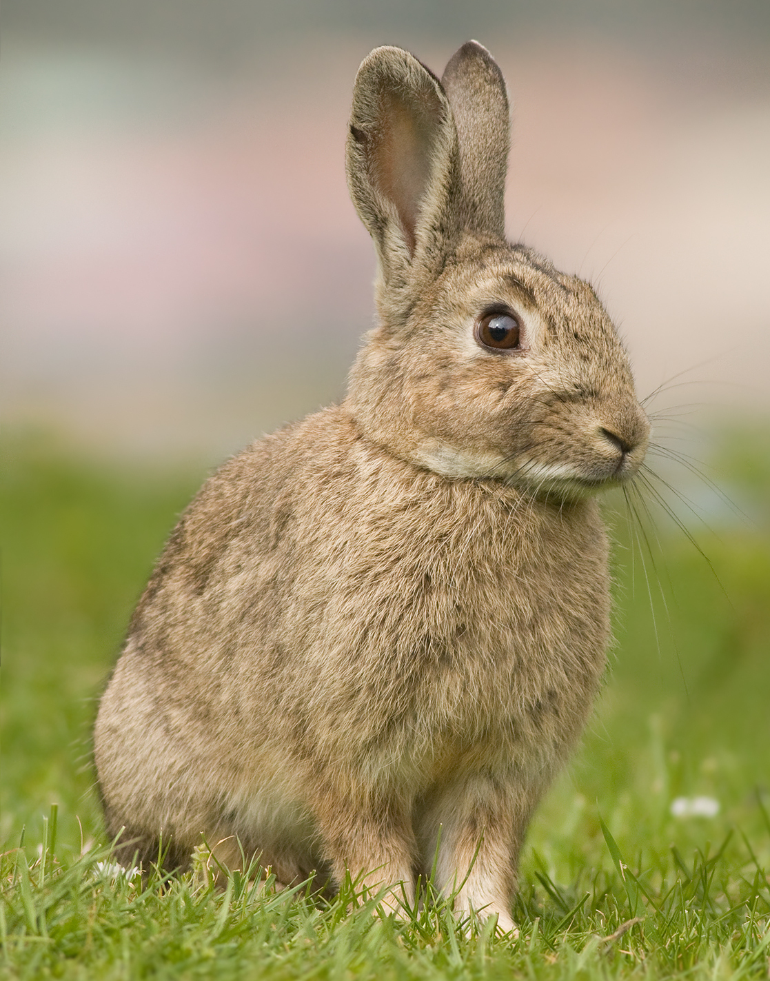
Wildlife in October

The birds and mammals of Chile seen most this month, compared with the rest of their year.
Earthquakes around Coya

The last 30 days within 300 km, and the record since 1950.

Earthquakes

Strongest nearby since 1950

7.2Marchigüe 30 km ↑1985 · 100 km
7.0Marchigüe 18 km ↖2010 · 117 km
6.9Pichilemu 14 km ↗2010 · 125 km
6.8San José de Maipo 42 km ↘1958 · 67 km

Coya from above

Getting to Coya

Comodoro Arturo Merino Benítez International AirportSCL
93 km
Suboficial Ay Santiago Germano AirportAFA
200 km
Governor Francisco Gabrielli International AirportMDZ
222 km
ColónRailway station
15 km
RancaguaRailway station
21 km
GranerosRailway station
24 km

Places near Coya

Places with a climate like Coya

Matched month by month on temperature, rain and sunshine.

Frequently asked questions

When is the best time to visit Coya?
Based on 30-year climate normals, April, October and November offer the best balance of comfortable temperatures, low rainfall and sunshine in Coya.
What is the hottest month in Coya?
January is the warmest month, with average highs of 27°C and lows of 15°C.
What is the coldest month in Coya?
July is the coldest month, with average highs of 12°C and lows of 2°C.
What is the rainiest month in Coya?
June is the wettest month with about 218 mm of precipitation on 7 wet days.