
Photo: Agência Brasília from Brasília, Brasil · CC BY 2.0 · Wikimedia Commons
Palácio do BuritiReport this photo · linked, not stored
Palácio do BuritiReport this photo · linked, not stored

Photo: Luis Dantas · Public domain · Wikimedia Commons
Dinamismo OlímpicoReport this photo · linked, not stored
Dinamismo OlímpicoDinamismo OlímpicoReport this photo · linked, not stored

Photo: Arne Müseler / www.arne-mueseler.com · CC BY-SA 3.0 de · Wikimedia Commons
Estádio Nacional de BrasíliaReport this photo · linked, not stored
Estádio Nacional de BrasíliaEstádio Nacional de BrasíliaReport this photo · linked, not stored

Photo: Lucas de Melo from Brasília , Brasil · CC BY 2.0 · Wikimedia Commons
Quartel General do Exército BrasileiroReport this photo · linked, not stored
Quartel General do Exército BrasileiroQuartel General do Exército BrasileiroReport this photo · linked, not stored
 Brasilia TV Tower
buildingBrasília, Federal District
Palácio do Buriti
asset of historic and or cultural interest
Typebuilding
Built–by Nauro Esteves
Best monthsMay–Julweather in Brasília
15.78° S, 47.91° WUTC−3 · Brasilia Standard Time
When to goBrasília · weather score
Best timeMay–Jul
October: high / low28° / 18°
iAbout
Palácio do Buriti in brief
Palácio do Buriti is a building in Brasília, Federal District, Brazil.
It holds the designation asset of historic and or cultural interest.
The building was designed by Nauro Esteves.
For a visit, the weather in Brasília is best in May, June and July; in October afternoons average 28°.
Facts
- Type
- building
- Designation
- asset of historic and or cultural interest
- Architect
- Nauro Esteves
- Nearest town
- Brasília
- Region
- Federal District
- Coordinates
- -15.78437, -47.90803
iiLocation
Where to find it
ivNearby
All monuments in BrazilMore heritage close by
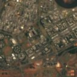
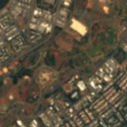
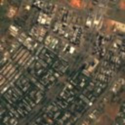
Satellite: Sentinel-2 cloudless 2016 by EOX IT Services GmbH · CC BY 4.0 · Contains modified Copernicus Sentinel data 2016
Memorial JK
0.5 km W
heritage asset listed by IPHAN
Photo: Arne Müseler / www.arne-mueseler.com · CC BY-SA 3.0 de · Wikimedia CommonsReport this photo · linked, not stored
Estádio Nacional de Brasília
0.9 km E
asset of historic and or cultural interest
Photo: Lucas de Melo from Brasília , Brasil · CC BY 2.0 · Wikimedia CommonsReport this photo · linked, not stored
Quartel General do Exército Brasileiro
1.6 km NW
heritage asset listed by IPHAN

Around here
Brasília and around

Nature


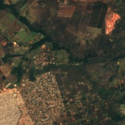
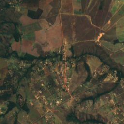
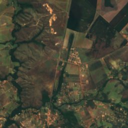
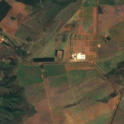
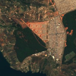
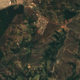
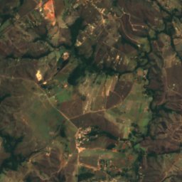
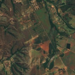
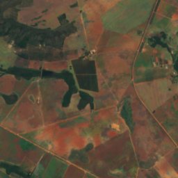
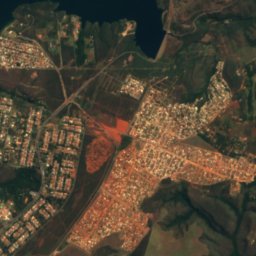
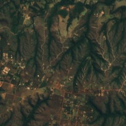
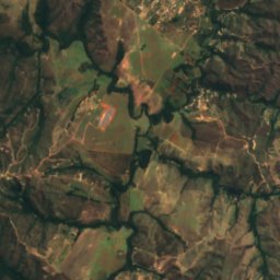
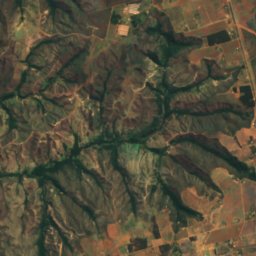
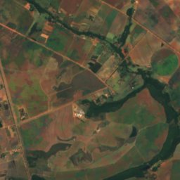
Satellite: Sentinel-2 cloudless 2016 by EOX IT Services GmbH · CC BY 4.0 · Contains modified Copernicus Sentinel data 2016
Paranoá River
River
Mountains
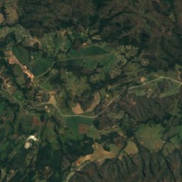
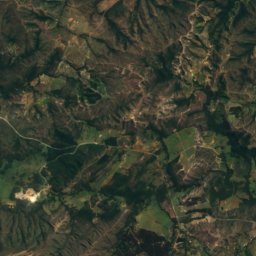
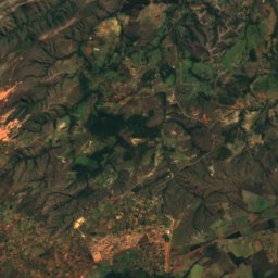
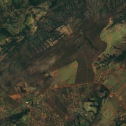
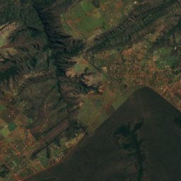
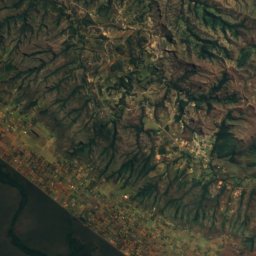
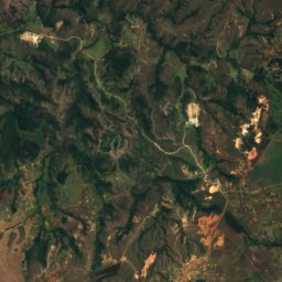
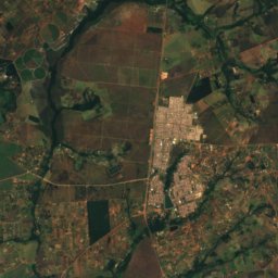
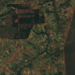
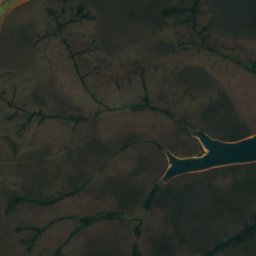
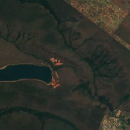
Satellite: Sentinel-2 cloudless 2016 by EOX IT Services GmbH · CC BY 4.0 · Contains modified Copernicus Sentinel data 2016
Pico do Roncador
1,341 m · Brazilian Highlands
Heritage

Catedral Militar Rainha da Paz
asset of historic and or cultural interest · 1991
Photo: Lucas de Melo from Brasília , Brasil · CC BY 2.0 · Wikimedia CommonsReport this photo · linked, not stored
Quartel General do Exército Brasileiro
heritage asset listed by IPHAN

Museums

Satellite: Sentinel-2 cloudless 2016 by EOX IT Services GmbH · CC BY 4.0 · Contains modified Copernicus Sentinel data 2016
Espaços Culturais da Câmara Legislativa do Distrito Federal
2012


