
Photo: Antônio Cruz/ABr · CC BY 3.0 br · Wikimedia Commons
Brasília National ParkReport this photo · linked, not stored
Brasília National ParkReport this photo · linked, not stored

Photo: EliasTheHorse · Public domain · Wikimedia Commons
Paranoá IslandReport this photo · linked, not stored
Paranoá IslandParanoá IslandReport this photo · linked, not stored

Photo: EliasTheHorse · Public domain · Wikimedia Commons
Retiro IslandReport this photo · linked, not stored
Retiro IslandRetiro IslandReport this photo · linked, not stored

Photo: The Gentle · CC BY-SA 2.0 · Wikimedia Commons
Paranoá LakeReport this photo · linked, not stored
Paranoá LakeParanoá LakeReport this photo · linked, not stored

Photo: EliasTheHorse · CC BY-SA 3.0 · Wikimedia Commons
Clubes IslandReport this photo · linked, not stored
Clubes IslandClubes IslandReport this photo · linked, not stored
National parkSetor Complementar de Indústria e Abastecimento, Federal District
Brasília National Park
National park1,035 m elevationBest May–Jul
Elevation1,035 mabove sea level
Area424 km²surface
Nearest townSetor Complementar de Indústria e Abastecimento7.5 km
15.72° S, 47.98° WElevation 1,035 mUTC−3 · Brasilia Standard Time
When to goSetor Complementar de Indústria e Abastecimento · weather score
Best timeMay–Jul
October: high / low28° / 18°
National park
Brasília National Park in brief
Brasília National Park is a national park in Setor Complementar de Indústria e Abastecimento, Federal District, Brazil — national park.
It lies at 1,035 m above sea level and covers about 424 km².
The nearest town in the atlas is Setor Complementar de Indústria e Abastecimento, 7.5 km to the S, where the weather is best in May, June and July.
Setor Complementar de Indústria e Abastecimento: weather and travel guide
Weather nearby now
Forecast for Setor Complementar de Indústria e Abastecimento31°
Partly cloudy now
Today
22 Oct
31°
21°
Fri
23 Oct
34°
20°
2 mm
Sat
24 Oct
33°
21°
2 mm
Sun
25 Oct
33°
21°
3 mm
Mon
26 Oct
33°
21°
7 mm
Model run 00:00 UTCRefreshed several times a day
When to go
Climate of Setor Complementar de Indústria e AbastecimentoThe best months around Brasília National Park
Month score in Setor Complementar de Indústria e Abastecimento
Comfort, dry days and sunshine · out of 10053
Jan
53
Feb
55
Mar
64
Apr
89
May
98
Jun
100
Jul
89
Aug
73
Sep
50
Oct
52
Nov
52
Dec
Map
Brasília National Park from above
Nature nearbyAll of Brazil


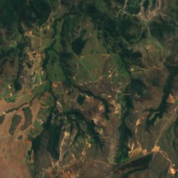
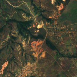
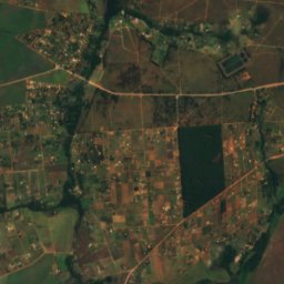
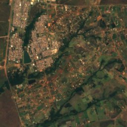
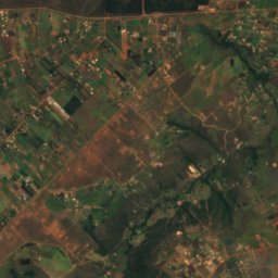
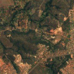
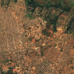
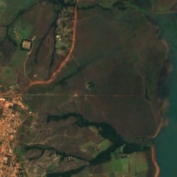
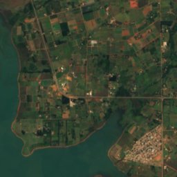
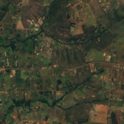
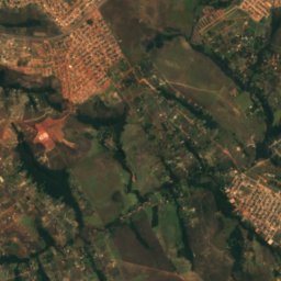
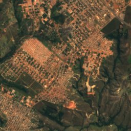
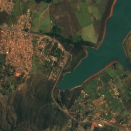
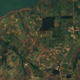
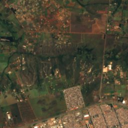
Satellite: Sentinel-2 cloudless 2016 by EOX IT Services GmbH · CC BY 4.0 · Contains modified Copernicus Sentinel data 2016
Summits nearbyMountains of Brazil
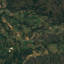
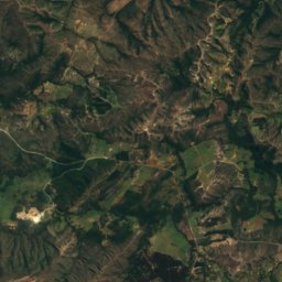
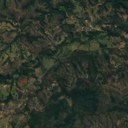
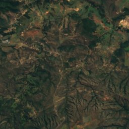
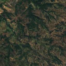
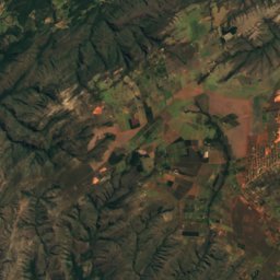
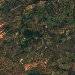
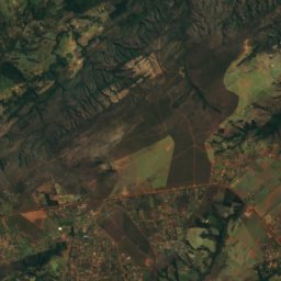
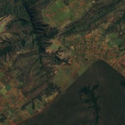
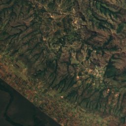
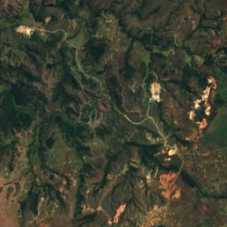
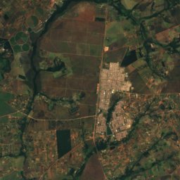
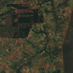
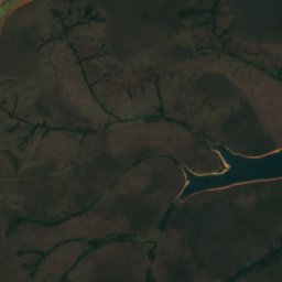
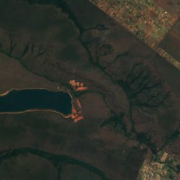
Satellite: Sentinel-2 cloudless 2016 by EOX IT Services GmbH · CC BY 4.0 · Contains modified Copernicus Sentinel data 2016
Stay nearby
Towns close by
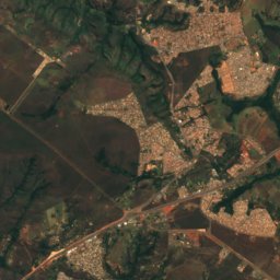
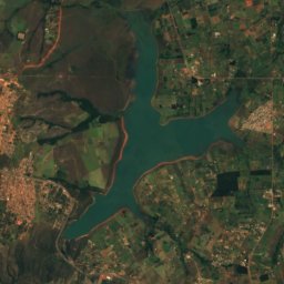
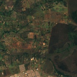
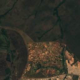
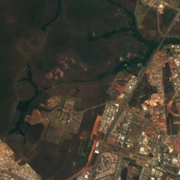
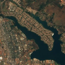
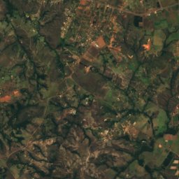
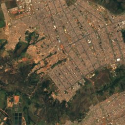
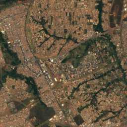
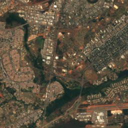
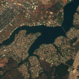
Satellite: Sentinel-2 cloudless 2016 by EOX IT Services GmbH · CC BY 4.0 · Contains modified Copernicus Sentinel data 2016
Setor Complementar de Indústria e Abastecimento
Federal District · 7.5 km S
28°Oct high
15wet days
50score

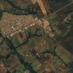
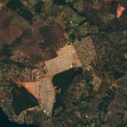
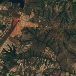
Satellite: Sentinel-2 cloudless 2016 by EOX IT Services GmbH · CC BY 4.0 · Contains modified Copernicus Sentinel data 2016
Cruzeiro
Federal District · 9.3 km SE
28°Oct high
15wet days
50score
Satellite: Sentinel-2 cloudless 2016 by EOX IT Services GmbH · CC BY 4.0 · Contains modified Copernicus Sentinel data 2016
Setor de Indústria e Abastecimiento
Federal District · 10 km S
28°Oct high
15wet days
50score
Around here
Setor Complementar de Indústria e Abastecimento and around
Satellite: Sentinel-2 cloudless 2016 by EOX IT Services GmbH · CC BY 4.0 · Contains modified Copernicus Sentinel data 2016
Setor Complementar de Indústria e Abastecimento
Federal District · Brazil
May–Julbest months
25°July high
1,139 maltitude
Nature
Satellite: Sentinel-2 cloudless 2016 by EOX IT Services GmbH · CC BY 4.0 · Contains modified Copernicus Sentinel data 2016
Represa do Descoberto
Lake · 1,029 m
Mountains
Satellite: Sentinel-2 cloudless 2016 by EOX IT Services GmbH · CC BY 4.0 · Contains modified Copernicus Sentinel data 2016
Pico do Roncador
1,341 m · Brazilian Highlands
Heritage


Photo: Mariordo (Mario Roberto Durán Ortiz) · CC BY-SA 4.0 · Wikimedia CommonsReport this photo · linked, not stored
Cathedral of Brasília
heritage asset listed by IPHAN · 1970
Museums


Photo: Agência Brasil Fotografias · CC BY 2.0 · Wikimedia CommonsReport this photo · linked, not stored

Museu Vivo da Memória Candanga
1991