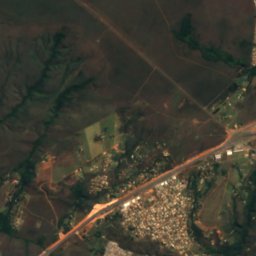
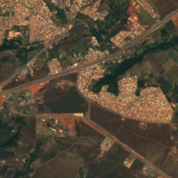
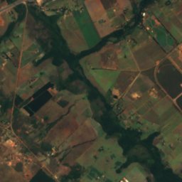
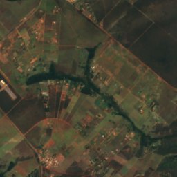
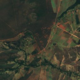
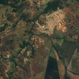
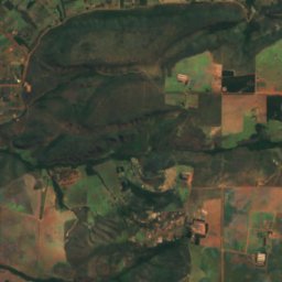
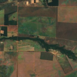
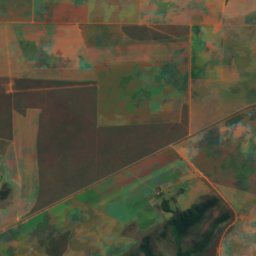
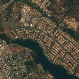
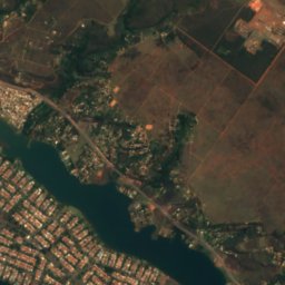
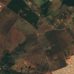
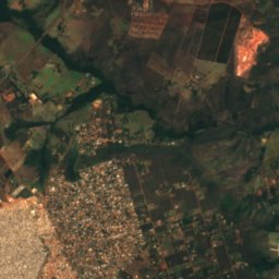
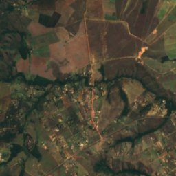
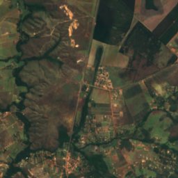
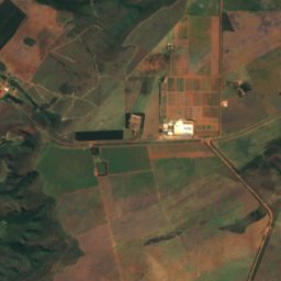
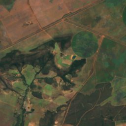
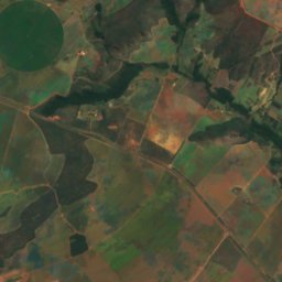
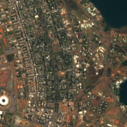
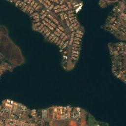
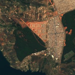
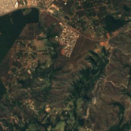
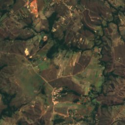
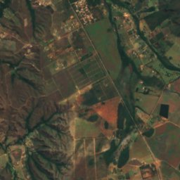
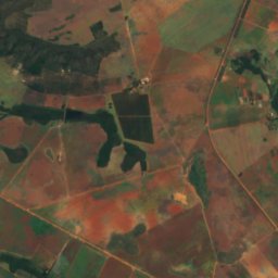
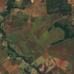
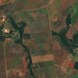
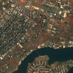
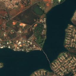
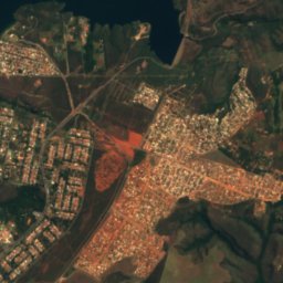
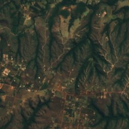
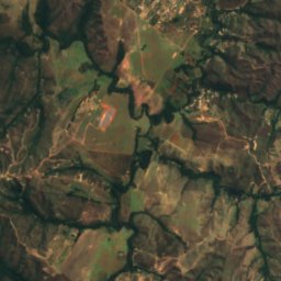
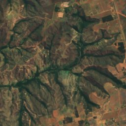
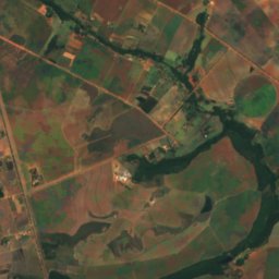
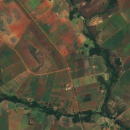
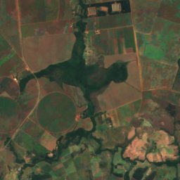
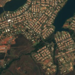
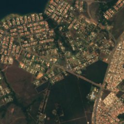
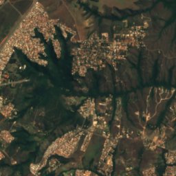
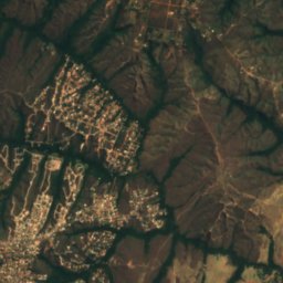
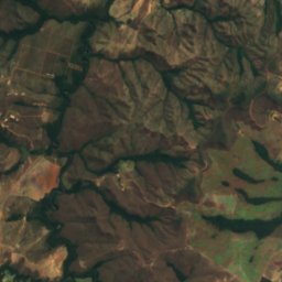
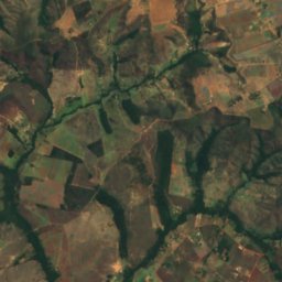
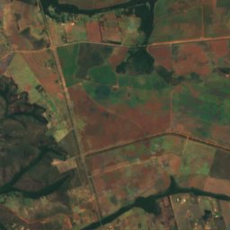
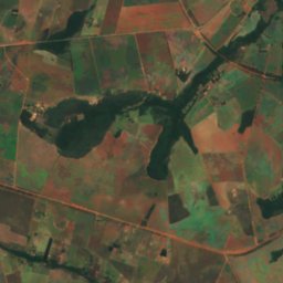
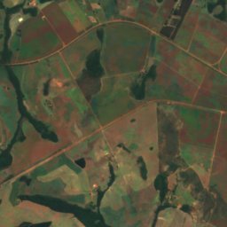
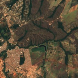
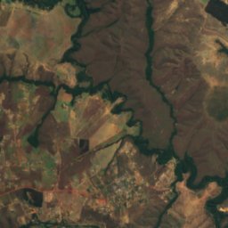
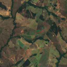
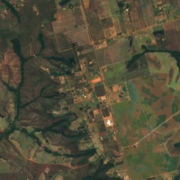
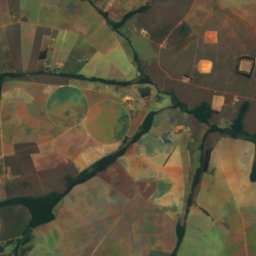
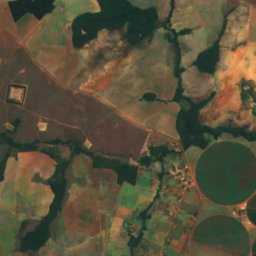
Satellite: Sentinel-2 cloudless 2016 by EOX IT Services GmbH · CC BY 4.0 · Contains modified Copernicus Sentinel data 2016

Photo: The Gentle · CC BY-SA 2.0 · Wikimedia Commons
Paranoá LakeReport this photo · linked, not stored
Paranoá LakeParanoá LakeReport this photo · linked, not stored

Photo: EliasTheHorse · Public domain · Wikimedia Commons
Retiro IslandReport this photo · linked, not stored
Retiro IslandRetiro IslandReport this photo · linked, not stored

Photo: EliasTheHorse · CC BY-SA 3.0 · Wikimedia Commons
Clubes IslandReport this photo · linked, not stored
Clubes IslandClubes IslandReport this photo · linked, not stored

Photo: EliasTheHorse · Public domain · Wikimedia Commons
Paranoá IslandReport this photo · linked, not stored
Paranoá IslandParanoá IslandReport this photo · linked, not stored
RiverItapoã, Federal District
Paranoá River
RiverBest Jun–Aug
Elevation–above sea level
Area–surface
Nearest townItapoã9.8 km
15.81° S, 47.70° WUTC−3 · Brasilia Standard Time
When to goItapoã · weather score
Best timeJun–Aug
October: high / low28° / 18°
River
Paranoá River in brief
Paranoá River is a river in Itapoã, Federal District, Brazil.
The nearest town in the atlas is Itapoã, 9.8 km to the NW, where the weather is best in June, July and August.
Weather nearby now
Forecast for Itapoã30°
Partly cloudy now
Today
22 Oct
31°
20°
Fri
23 Oct
33°
19°
2 mm
Sat
24 Oct
32°
20°
1 mm
Sun
25 Oct
32°
21°
3 mm
Mon
26 Oct
32°
21°
5 mm
Model run 00:00 UTCRefreshed several times a day
The course of the river
As mapped in OpenStreetMap, with the towns of the atlas along its banks.sourcemouth (or where the mapped line leaves the country)
Map
Paranoá River from above
Nature nearbyAll of Brazil
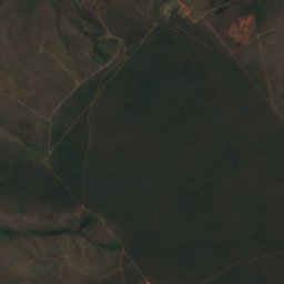
Satellite: Sentinel-2 cloudless 2016 by EOX IT Services GmbH · CC BY 4.0 · Contains modified Copernicus Sentinel data 2016


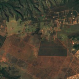
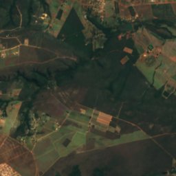
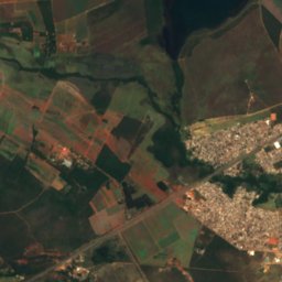
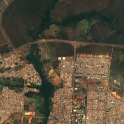
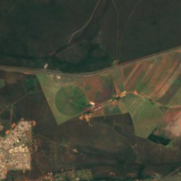
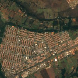
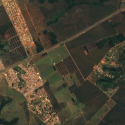
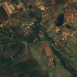
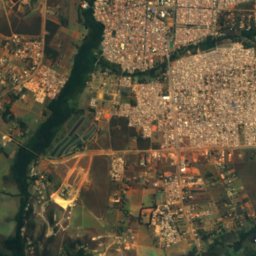
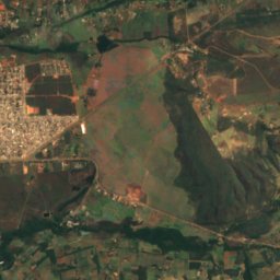
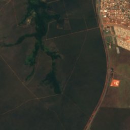
Satellite: Sentinel-2 cloudless 2016 by EOX IT Services GmbH · CC BY 4.0 · Contains modified Copernicus Sentinel data 2016

Stay nearby
Towns close by

Photo: Mercado Viagens from Brasil · CC BY 2.0 · Wikimedia CommonsReport this photo · linked, not stored
Itapoã
Federal District · 9.8 km NW
28°Oct high
15wet days
52score

Photo: Arne Müseler / www.arne-mueseler.com · CC BY-SA 3.0 de · Wikimedia CommonsReport this photo · linked, not stored
Jardim Botânico
Federal District · 14 km SW
28°Oct high
15wet days
50score
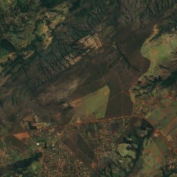
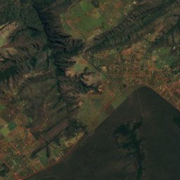
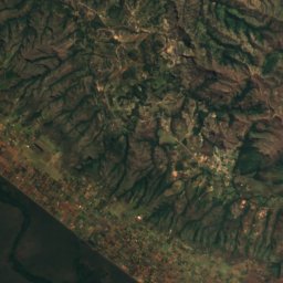
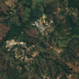
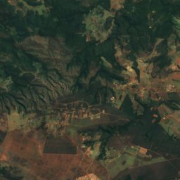
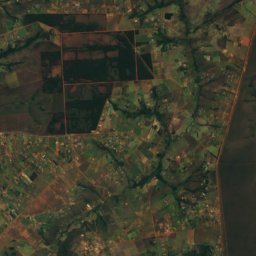
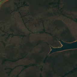
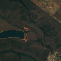
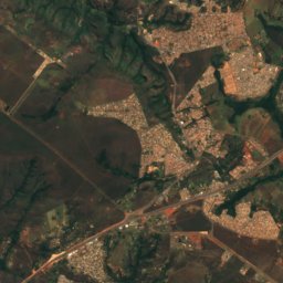
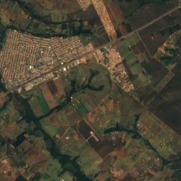
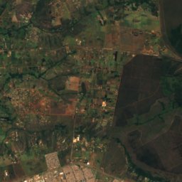
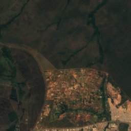
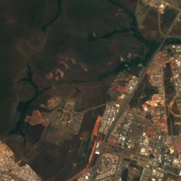
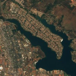
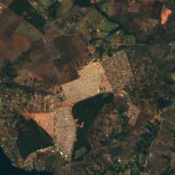
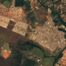
Satellite: Sentinel-2 cloudless 2016 by EOX IT Services GmbH · CC BY 4.0 · Contains modified Copernicus Sentinel data 2016
Lago Norte
Federal District · 18 km NW
28°Oct high
15wet days
49score

Around here
Itapoã and around
Photo: Mercado Viagens from Brasil · CC BY 2.0 · Wikimedia CommonsReport this photo · linked, not stored
Itapoã
Federal District · Brazil
Jun–Augbest months
24°July high
1,066 maltitude
Nature
Satellite: Sentinel-2 cloudless 2016 by EOX IT Services GmbH · CC BY 4.0 · Contains modified Copernicus Sentinel data 2016
Sobradinho Creek
River · 916 m
Satellite: Sentinel-2 cloudless 2016 by EOX IT Services GmbH · CC BY 4.0 · Contains modified Copernicus Sentinel data 2016
Pipiripau River
River · 996 m
Heritage


Photo: Mariordo (Mario Roberto Durán Ortiz) · CC BY-SA 4.0 · Wikimedia CommonsReport this photo · linked, not stored
Cathedral of Brasília
heritage asset listed by IPHAN · 1970
Museums


Photo: Eric Gaba, Wikimedia Commons user Sting · CC BY-SA 3.0 · Wikimedia CommonsReport this photo · linked, not stored

Museu da Cidade
1960