


Mexico
Morelos
Morelos is one of the 32 regions of Mexico; its largest place is Tepoztlán.
Best timeJan · Nov–Dec
Best weather in OctoberTepoztlán 65
October: highs24° – 30°
Rain this month, on average73mm
Mean of its 20 best-known places. Best: Jan · Nov–Dec.
Morelos at a glance
The atlas follows 1,770 places here month by month, with 14 mountains and 7 monuments; across the most visited of them, the best months are January, November and December.
When to go to Morelos
The best places of every month here, and the average climate of the best-known ones.
| Jan | Feb | Mar | Apr | May | Jun | Jul | Aug | Sep | Oct | Nov | Dec | |
|---|---|---|---|---|---|---|---|---|---|---|---|---|
| Score | 84 | 73 | 68 | 50 | 40 | 46 | 45 | 46 | 51 | 56 | 82 | 86 |
| High | 27° | 30° | 31° | 33° | 32° | 28° | 28° | 28° | 27° | 27° | 27° | 27° |
| Low | 12° | 14° | 15° | 17° | 18° | 18° | 16° | 17° | 16° | 15° | 14° | 13° |
| Rain (mm) | 11 | 8 | 7 | 17 | 68 | 216 | 220 | 215 | 211 | 73 | 14 | 5 |
Places in Morelos
The best-known places with their score this month; every town and village is in the A to Z list below.
 65October
Tepoztlán
15k people
25° / 13°88 mm
46OctoberTlaltizapán
11k people
30° / 19°61 mm
62OctoberTlayacapan
8,374 people
26° / 14°85 mm
57OctoberCuernavaca
341k people
27° / 14°76 mm
53OctoberTemixco
104k people
28° / 17°70 mm
56October
Cuautla
157k people
28° / 16°76 mm
 62October
Atlatlahucan
9,018 people
26° / 13°80 mm
55October
Jiutepec
175k people
28° / 16°78 mm
33 districts, each with all of its towns and villages
Amacuzac41 places · 17k · Amacuzac

Atlatlahucan47 places · 20k · Atlatlahucan
Axochiapan56 places · 38k · Axochiapan

Ayala134 places · 78k · Anenecuilco

Coatlán del Río24 places · 22k · Coatlán del Río
Cuautla52 places · 179k · Cuautla

Cuernavaca60 places · 375k · Cuernavaca

Emiliano Zapata32 places · 98k · Tres de Mayo
Huitzilac73 places · 18k · Huitzilac

Jantetelco39 places · 17k · Jantetelco
Jiutepec28 places · 214k · Jiutepec

Jojutla72 places · 54k · Jojutla

Jonacatepec26 places · 15k · Jonacatepec de Leandro Valle

Mazatepec24 places · 9,090 · Mazatepec

Miacatlán46 places · 25k · Miacatlán
Ocuituco48 places · 19k · Ocuituco
Puente de Ixtla110 places · 64k · Xoxocotla

Temixco36 places · 116k · Temixco

Temoac18 places · 16k · Temoac
Tepalcingo43 places · 23k · Tepalcingo

Tepoztlán76 places · 49k · Tepoztlán
Tetecala19 places · 7,231 · Tetecala

Tetela del Volcán39 places · 20k · Barrio de San Miguel
Tlalnepantla19 places · 7,584 · Tlalnepantla

Tlaltizapán de Zapata79 places · 49k · Tlaltizapán
Tlaquiltenango59 places · 31k · Tlaquiltenango

Tlayacapan43 places · 16k · Tlayacapan
Totolapan29 places · 11k · Totolapan

Xochitepec79 places · 65k · Xochitepec

Yautepec103 places · 104k · Oaxtepec
Yecapixtla81 places · 52k · Yecapixtla
Zacatepec21 places · 35k · Zacatepec de Hidalgo

Zacualpan18 places · 9,929 · Zacualpan de Amilpas
More towns and villages of Morelos · 96
Agua FríaAmpliación Dos de la Tres de MayoAxochiapaBonanzaBuenavista295Coajomulco2,089Colinas del ParaísoColonia 19 de Febrero de 1812Colonia Constitución del Cincuenta y SieteColonia del ValleColonia el Crucero de Atlacholoaya180Colonia Guadalupe VictoriaColonia la Joya600Colonia la Libertad93Colonia los CortésColonia NativitasColonia Tierra ColoradaColonia Tres de MayoColorinesCrucero TezoyucaCuanlotlaCurva La PeraDon PanchoEl BosqueEl DiqueEl MuertoEl PlatanarEl PotreroEl RemolinoEl RolloEl Vado de OacalcoEl ZapoteFierro del Toro125Finca GuadalupeFraccionamiento BugambiliasFraccionamiento Lomas de CocoyocFraccionamiento Paraíso TlahuicaGarcíaHermosaHuascuautlaHuertas el MiradorIguasuJardines de Tlayacapan129Kilómetro 107Kilómetro 14Kilómetro QuinceLa AbejaLa BugambiliaLa Estación de YecapixtlaLa EstradaLa FeLa PintoraLa ProvidenciaLas Fincas TequesquitengoLas MinasLoma del CarrilLos AlacranesLos AmatesLos CuartosLos LaurelesLos ParedonesLos PinosLos Ranchos de San José623Palo GrandePeñón de los BañosPotrerosPueblo Nuevo de Morelos4,440Rafael MerinoRancho Casa ColoradaRancho el RosedalRancho la Piedra ColoradaRancho Puente ChiquitoRancho San NicolásRancho TemecatitlaRancho ViejoSan Antonio Ometusco442San Diego1,463San Diego Linares2,914San José Ixtapa294San Vicente Solís264Santa Bárbara9Santa Elena de la CruzSanta ÚrsulaTelmincaTemilpa Viejo963TepetatesTepetomayoTinajasTlacotencoTres de MayoUnidad Jardines de XochitepecVeinticuatro de FebreroVergeles de OaxtepecYautepecYecapixteca1,110Zempoala
Morelos from above
Every place scored for the month you pick: comfortable temperatures, dry days and clear skies.
OctoberMonth scores for Morelos
Photo: AlejandroLinaresGarcia · CC BY-SA 4.0 · Wikimedia CommonsReport this photo · linked, not stored
Photo: Mirador del Cerro de las 3 Cruces · CC BY-SA 4.0 · Wikimedia CommonsReport this photo · linked, not stored
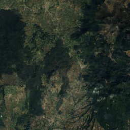
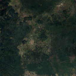
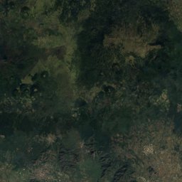
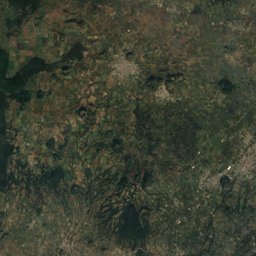
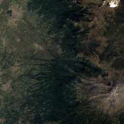
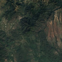
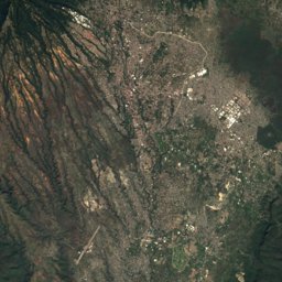
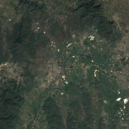
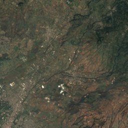
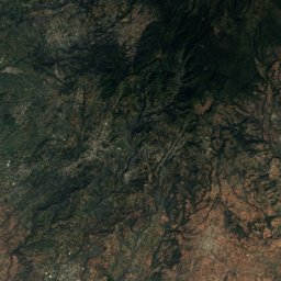
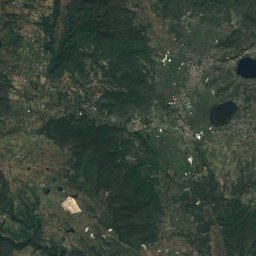
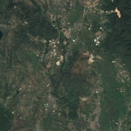
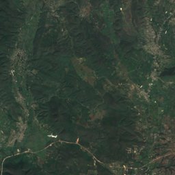
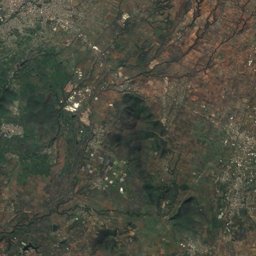
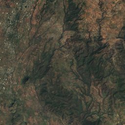
Satellite: Sentinel-2 cloudless 2016 by EOX IT Services GmbH · CC BY 4.0 · Contains modified Copernicus Sentinel data 2016
Photo: Anhuar Von Uckermann · CC BY-SA 3.0 · Wikimedia CommonsReport this photo · linked, not stored
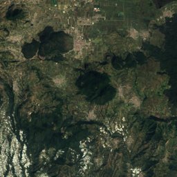
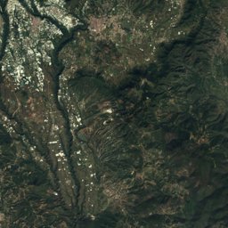
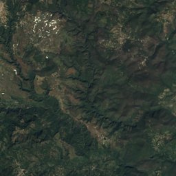
Satellite: Sentinel-2 cloudless 2016 by EOX IT Services GmbH · CC BY 4.0 · Contains modified Copernicus Sentinel data 2016

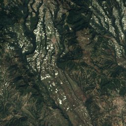
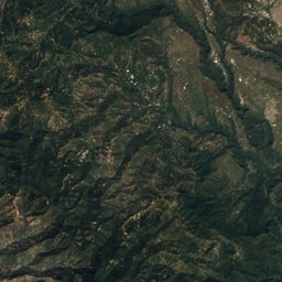
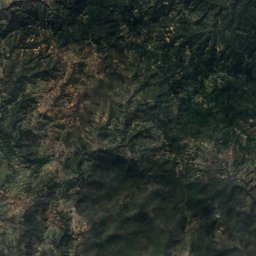
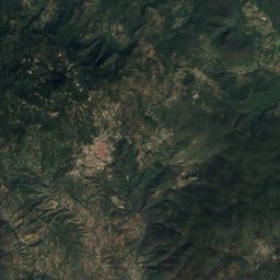
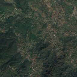
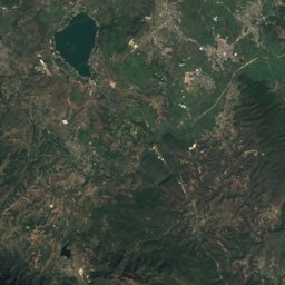
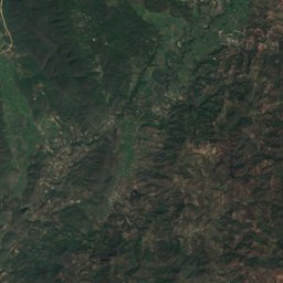
Satellite: Sentinel-2 cloudless 2016 by EOX IT Services GmbH · CC BY 4.0 · Contains modified Copernicus Sentinel data 2016
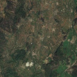
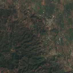
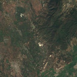
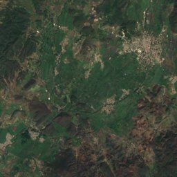
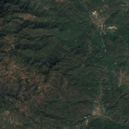
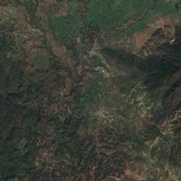
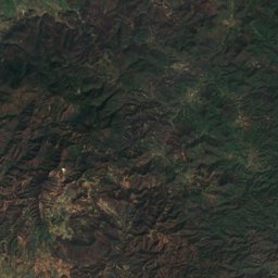
Satellite: Sentinel-2 cloudless 2016 by EOX IT Services GmbH · CC BY 4.0 · Contains modified Copernicus Sentinel data 2016
Photo: AlejandroLinaresGarcia · CC BY-SA 4.0 · Wikimedia CommonsReport this photo · linked, not stored
Satellite: Sentinel-2 cloudless 2016 by EOX IT Services GmbH · CC BY 4.0 · Contains modified Copernicus Sentinel data 2016
Satellite: Sentinel-2 cloudless 2016 by EOX IT Services GmbH · CC BY 4.0 · Contains modified Copernicus Sentinel data 2016
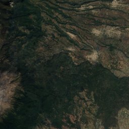
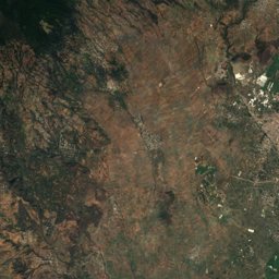
Satellite: Sentinel-2 cloudless 2016 by EOX IT Services GmbH · CC BY 4.0 · Contains modified Copernicus Sentinel data 2016
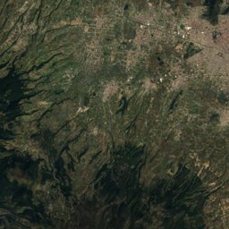
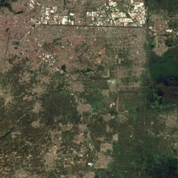
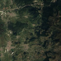
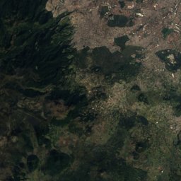
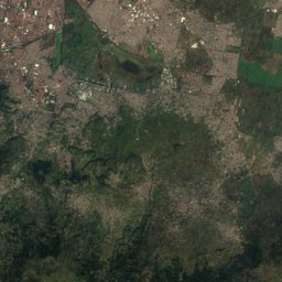
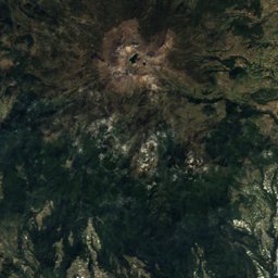
Satellite: Sentinel-2 cloudless 2016 by EOX IT Services GmbH · CC BY 4.0 · Contains modified Copernicus Sentinel data 2016
Satellite: Sentinel-2 cloudless 2016 by EOX IT Services GmbH · CC BY 4.0 · Contains modified Copernicus Sentinel data 2016
Satellite: Sentinel-2 cloudless 2016 by EOX IT Services GmbH · CC BY 4.0 · Contains modified Copernicus Sentinel data 2016

Nature in Morelos
Summit3,231 m
Volcán MantecaSummit3,225 m
Volcán PajonalSummit3,209 m
Volcán El Caballito
National park
Lagunas de Zempoala National Park
National park
El Tepozteco National ParkWildlife in October
The birds and mammals of Mexico seen most this month, compared with the rest of their year.


Outdoors in Morelos
Culture in Morelos


What's on in Morelos
Getting to Morelos
Mexico City Benito Juárez International AirportMEX · Tepoztlán
50 kmAdolfo López Mateos International AirportTLC · Tepoztlán
63 kmHermanos Serdán International AirportPBC · Tepoztlán
79 kmTowns in Morelos from A to Z
The 120 main places; every village is listed on its district's page.
A
C
- Calderón
- Calera Chica
- Campo Sotelo
- Cerritos de García
- Chiconcuac
- Ciudad Ayala
- Coajomulco
- Coatetelco
- Coatlán del Río
- Cocoyoc
- Colonia Ángel Bocanegra (Adolfo López Mateos)
- Colonia el Naranjo
- Colonia Loma Esmeralda
- Colonia los Cerritos
- Colonia Milpillas
- Colonia Obrera
- Colonia Palo Prieto (Chipitongo)
- Colonia San Francisco
- Colonia Santa Úrsula
- Colonia Unidad Deportiva
- Corral Grande
- Cuauhtempan (San Andrés Cuauhtempan)
- Cuautla
- Cuentepec
- Cuernavaca
L
S
T
Other regions of Mexico
Aguascalientes2,684Baja California3,642Baja California Sur3,331Campeche5,899Chiapas21,442Chihuahua20,623Coahuila11,661Colima1,292Durango10,272Guanajuato11,366Guerrero8,914Hidalgo5,618Jalisco16,403México5,855Mexico City489Michoacán14,393Nayarit3,340Nuevo León11,323Oaxaca11,601Puebla6,695Querétaro3,650Quintana Roo1,924San Luis Potosí7,353Sinaloa8,385Sonora11,934Tabasco3,341Tamaulipas13,544Tlaxcala1,226Veracruz20,124Yucatán4,889Zacatecas6,711