
Photo: José Luis Tristán Espino · CC BY-SA 3.0 · Wikimedia Commons
Cuernavaca CathedralReport this photo · linked, not stored
Cuernavaca CathedralReport this photo · linked, not stored
cathedralCuernavaca, Morelos
Cuernavaca Cathedral
part of UNESCO World Heritage SiteBuilt 1534
Typecathedralbaroque
Built1534
Best monthsJan · Nov–Decweather in Cuernavaca
18.92° N, 99.24° WUTC−6 · Central Standard Time
Standing for492 years
built 1534today 2026
When to goCuernavaca · weather score
Best timeJan · Nov–Dec
October: high / low27° / 14°
iAbout
Cuernavaca Cathedral in brief
Cuernavaca Cathedral is a cathedral in Cuernavaca, Morelos, Mexico.
It holds the designation part of UNESCO World Heritage Site.
The cathedral dates from 1534 and is built in the baroque style.
For a visit, the weather in Cuernavaca is best in January, November and December; in October afternoons average 27°.
Facts
- Type
- cathedral
- Designation
- part of UNESCO World Heritage Site
- Built
- 1534
- Style
- baroque
- Nearest town
- Cuernavaca
- Region
- Morelos
- Coordinates
- 18.92021, -99.23678
iiLocation
Where to find it
Around here
Cuernavaca and around

Nature


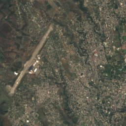
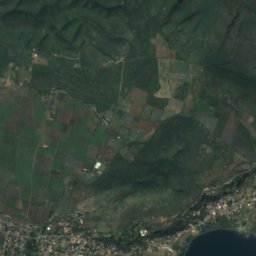
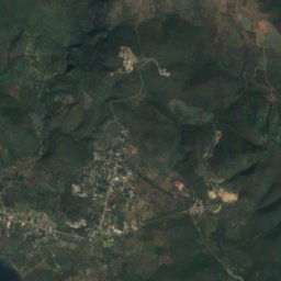
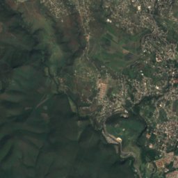
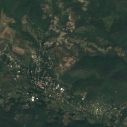
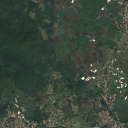
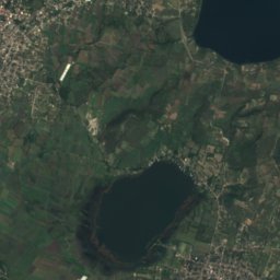
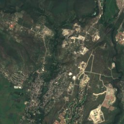
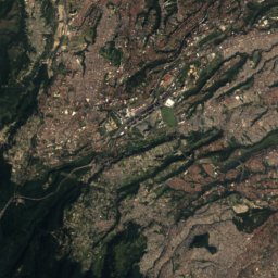
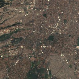
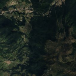
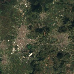
Satellite: Sentinel-2 cloudless 2016 by EOX IT Services GmbH · CC BY 4.0 · Contains modified Copernicus Sentinel data 2016
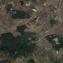
Laguna El Rodeo
Lake · 1,078 m
Mountains
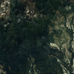
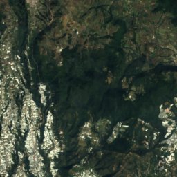
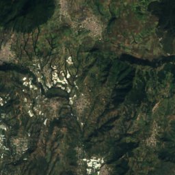
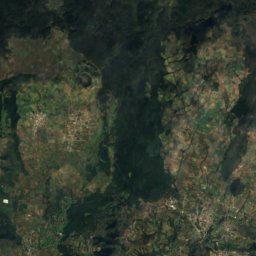
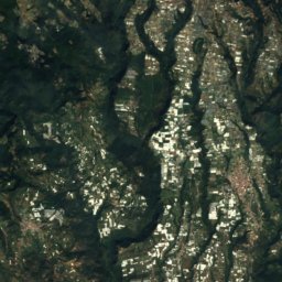
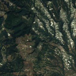
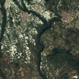
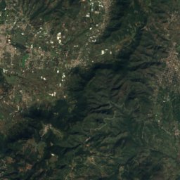
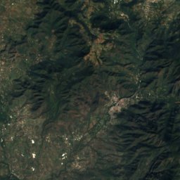
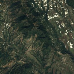
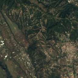
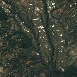
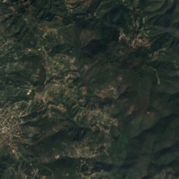
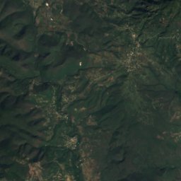
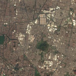
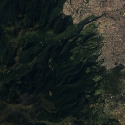
Satellite: Sentinel-2 cloudless 2016 by EOX IT Services GmbH · CC BY 4.0 · Contains modified Copernicus Sentinel data 2016
La Malinche
4,462 m

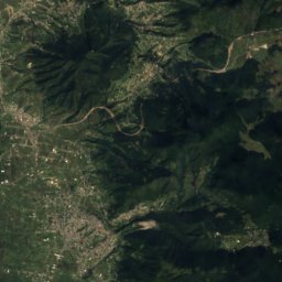
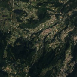
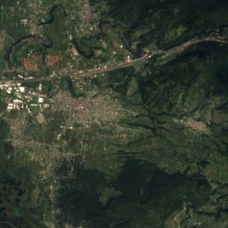
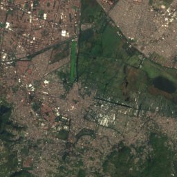
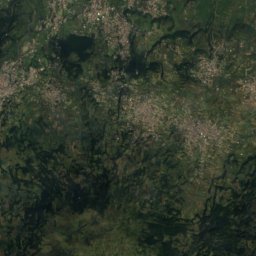
Satellite: Sentinel-2 cloudless 2016 by EOX IT Services GmbH · CC BY 4.0 · Contains modified Copernicus Sentinel data 2016
Pico El Aguila
3,839 m


