


























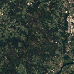
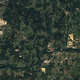
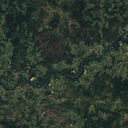
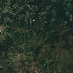














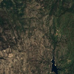







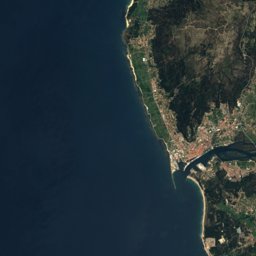
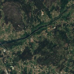
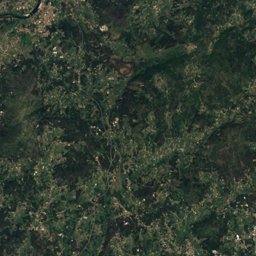
Stage 6: A Guarda – Mougás


Stage 6 in brief
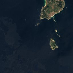
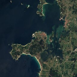
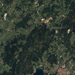
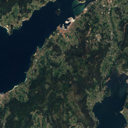
Stage 6 of the Caminho Português da Costa covers 19.1 km from A Guarda to Mougás, Galicia, Spain.
It climbs 220 m and descends 233 m, topping out at 52 m; it starts at 49 m and ends at 35 m.
The DIN 33466 walking time is 5 h 20 min without breaks (4 km an hour on the level, 300 m an hour uphill, 500 m downhill).
In terms of effort it counts as demanding.
18% of the route runs through forest.
The best months are March and May–September, judged by temperature and rain at the highest point.
At the high point the warmest month, August, averages 25° by day.
A bus stop or station lies within 800 m of the start or the finish. There is a car park near the start.
This is a suggested stage: it ends in a village or town with beds (albergue, hostel or a town with places to stay) and keeps the day lengths even. The way itself has no fixed daily stages.
Facts
- Distance
- 19.1 km
- Ascent / descent
- 220 m / 233 m
- Highest / lowest point
- 52 m / 2 m
- Walking time
- 5 h 20 min
- Effort
- demanding
- Steepest kilometre
- 5 %
- In forest
- 18 %
- Best months
- Mar · May–Sep
- Start
- A Guarda
- Network
- National route · CPC
- Stages
- 6 / 12
The line on the ground
Elevation profile
Height every 20 mThe year month by month
- Jangood, wetter
- Febgood, wetter
- Margood
- Aprgood, wetter
- Maygood
- Jungood
- Julgood
- Auggood
- Sepgood
- Octgood, wetter
- Novgood, wetter
- Decgood, wetter
Climate at the high point (52 m)
Averages 1981–2010 adjusted to the height with 6.5 °C per km; daylight at the start| Month | Jan | Feb | Mar | Apr | May | Jun | Jul | Aug | Sep | Oct | Nov | Dec |
|---|---|---|---|---|---|---|---|---|---|---|---|---|
| Average high | 14° | 15° | 17° | 18° | 21° | 23° | 25° | 25° | 24° | 21° | 16° | 14° |
| Average low | 7° | 7° | 8° | 10° | 12° | 14° | 15° | 15° | 14° | 12° | 9° | 7° |
| Precipitation | 209 mm | 167 mm | 151 mm | 160 mm | 131 mm | 64 mm | 39 mm | 48 mm | 121 mm | 243 mm | 256 mm | 281 mm |
| Daylight | 9 h 28 min | 10 h 36 min | 11 h 53 min | 13 h 20 min | 14 h 33 min | 15 h 13 min | 14 h 56 min | 13 h 54 min | 12 h 31 min | 11 h 08 min | 9 h 51 min | 9 h 09 min |
This week on the route
Loading the latest forecast…
Loading the latest forecast…
Loading the latest forecast…
Kilometre by kilometre
| km | What | Name | Elevation |
|---|---|---|---|
| 0.0 | Drinking water | – | – |
| 0.8 | Town or village | A Guarda | 39 m |
| 0.9 | Pilgrim hostel | Albergue de Peregrinos | – |
| 1.0 | Hostel | O Peirao | – |
| 3.4 | Viewpoint | Miradoiro do Aty | – |
| 7.4 | Viewpoint | – | – |
| 13.0 | Drinking water | Fonte do Río da Aguieira | – |
| 13.7 | Town or village | Oia · 0.9 km off the route | 205 m |
| 13.7 | Sight | Royal Monastery of Santa María de Oia | – |
| 17.3 | Hostel | Alojamiento Camino Portugués | – |
| 17.5 | Pilgrim hostel | Albergue da Estrela | – |
Surface, shade and gradients
Seen along the route


Start, stops and airports
- Start
- 41.90269° N, 8.86438° W · 49 m
- Finish
- 42.04556° N, 8.88045° W · 35 m
- Car park at the start
- yes · 8 m
- Stop at the start
- Atsa · Bus stop · 8 m
- Stop at the finish
- ATSA / Lugove · Bus stop · 327 m
- Nearest airport
- Vigo Airport (VGO) · 41.5 km
- Nearest airport
- Francisco de Sá Carneiro Airport (OPO) · 74.3 km
Conditions change: check the official sources, the signposts and the weather before you set off. Walking times follow DIN 33466 and do not include breaks. Route data as of 2026-10-16. Report an error