Skip to content
Destinations
Weather & climate
Nature
Outdoors
Culture
Events
Sky & live
Karatsu Kunchi
Photo: Unknown author · CC BY-SA 2.5 · Wikimedia CommonsReport this photo · linked, not stored
Food and wineKaratsu, Saga, Japan

Karatsu Kunchi

November
MonthsNovember
How oftenEvery year
TypeFood and wine
TownKaratsuSaga
33.45° N, 129.97° EUTC+9 · Japan Standard Time
When to goKaratsu · weather score
JanFebMarAprMayJunJulAugSepOctNovDec79October
Best timeApr · Oct–Nov
October: high / low21° / 17°
Food and wine

Karatsu Kunchi in brief

Karatsu Kunchi takes place every year in November in Karatsu (Saga, Japan).

In November, Karatsu averages daytime highs of 16° and night-time lows of 12° — cool weather by day. Expect around 112 mm of precipitation spread over about 7 wet days, with average cloud cover near 35%.

Only the month is given: the exact dates change from year to year.

Karatsu · November

Weather nearby now

Karatsu
19°
Cloudy now
Wind21 km/h
Humidity70%
Cloud cover100%
Today
22 Oct
21°
18°
Fri
23 Oct
21°
17°
37 mm
Sat
24 Oct
23°
19°
48 mm
Sun
25 Oct
25°
22°
68 mm
Mon
26 Oct
25°
23°
42 mm

Model run 00:00 UTCRefreshed several times a day

Weather in Karatsu in November

MonthHigh / lowWet days (≥1 mm)PrecipitationScore
November16° / 12°7112 mm73/100 · good

Also around this time nearby

Only the month is given: the exact dates change from year to year.

Around here

Karatsu and around

Karatsu
Photo: ascesis · CC BY-SA 3.0 · Wikimedia CommonsReport this photo · linked, not stored

Karatsu

Saga · Japan
Apr · Oct–Novbest months
28°July high
7 maltitude
Karatsu

Nature

Matsuura River
Photo: そらみみ · CC BY-SA 4.0 · Wikimedia CommonsReport this photo · linked, not stored
1.5 km NE

Matsuura River

River
Matsuura River
Tokusue River
Photo: そらみみ (Soramimi) · CC BY-SA 4.0 · Wikimedia CommonsReport this photo · linked, not stored
3.9 km S

Tokusue River

River
Tokusue River
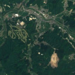
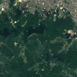
Satellite: Sentinel-2 cloudless 2016 by EOX IT Services GmbH · CC BY 4.0 · Contains modified Copernicus Sentinel data 2016
11 km SE

Mikaeri Falls

Waterfall
Mikaeri Falls

Mountains

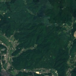
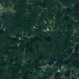
Satellite: Sentinel-2 cloudless 2016 by EOX IT Services GmbH · CC BY 4.0 · Contains modified Copernicus Sentinel data 2016
37 km E

Mount Sefuri

1,055 m · Sefuri Mountains
Mount Sefuri
Mount Ten
Photo: Pekachu · CC BY-SA 4.0 · Wikimedia CommonsReport this photo · linked, not stored
20 km SE

Mount Ten

1,046 m
Mount Ten
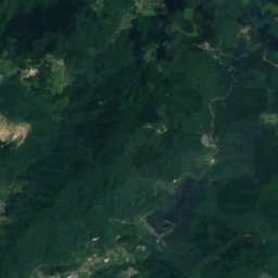
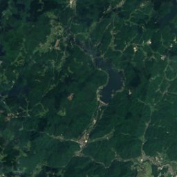
Satellite: Sentinel-2 cloudless 2016 by EOX IT Services GmbH · CC BY 4.0 · Contains modified Copernicus Sentinel data 2016
31 km E

Kana Yama

967 m
Kana Yama

Heritage

Nabatake Site
Photo: Pekachu · CC BY-SA 4.0 · Wikimedia CommonsReport this photo · linked, not stored
1.3 km NW

Nabatake Site

Historic Site of Japan
Nabatake Site
Old Takatori Family Residence
Photo: STA3816 · CC BY-SA 4.0 · Wikimedia CommonsReport this photo · linked, not stored
1.3 km N

Old Takatori Family Residence

Important Cultural Property of Japan
Old Takatori Family Residence
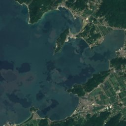
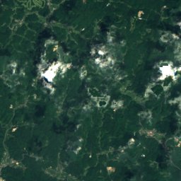
Satellite: Sentinel-2 cloudless 2016 by EOX IT Services GmbH · CC BY 4.0 · Contains modified Copernicus Sentinel data 2016
0.7 km N

Former Karatsu Bank Head Office

Prefectural Tangible Cultural Property · 1912
Former Karatsu Bank Head Office

Museums

Matsurokan
Photo: Pekachu · CC BY-SA 4.0 · Wikimedia CommonsReport this photo · linked, not stored
1.3 km NW

Matsurokan

Archaeological museum
Matsurokan
Kawamura Art Museum
Photo: ハポニアラ · CC BY 4.0 · Wikimedia CommonsReport this photo · linked, not stored
1.2 km N

Kawamura Art Museum

Art museum
Kawamura Art Museum
旧三菱合資会社唐津支店本館
Photo: STA3816 · CC BY-SA 4.0 · Wikimedia CommonsReport this photo · linked, not stored
3.5 km NW

旧三菱合資会社唐津支店本館

Folk museum · 1908
旧三菱合資会社唐津支店本館