
 Torishima, Saga

Photo: Hamasaki gion higashi (talk) · CC BY-SA 3.0 · Wikimedia Commons
Takashima, KaratsuReport this photo · linked, not stored
Takashima, KaratsuTakashima, KaratsuReport this photo · linked, not stored

Photo: そらみみ (Soramimi) · CC BY-SA 4.0 · Wikimedia Commons
Tokusue RiverReport this photo · linked, not stored
Tokusue RiverTokusue RiverReport this photo · linked, not stored
 Mount Ten
RiverKaratsu, Saga
Matsuura River
RiverBest Apr · Oct–Nov
Elevation–above sea level
Length46 kmsource to mouth
Nearest townKaratsu1.5 km
33.45° N, 129.98° EUTC+9 · Japan Standard Time
When to goKaratsu · weather score
Best timeApr · Oct–Nov
October: high / low21° / 17°
River
Matsuura River in brief
Matsuura River is a river in Karatsu, Saga, Japan.
The nearest town in the atlas is Karatsu, 1.5 km to the SW, where the weather is best in April, October and November.
Matsuura River is 46 km long.
Weather nearby now
Forecast for Karatsu18°
Cloudy now
Today
22 Oct
21°
18°
Fri
23 Oct
21°
17°
37 mm
Sat
24 Oct
23°
19°
48 mm
Sun
25 Oct
25°
22°
68 mm
Mon
26 Oct
25°
23°
42 mm
Model run 00:00 UTCRefreshed several times a day
The course of the river
As mapped in OpenStreetMap, with the towns of the atlas along its banks.- 1Karatsu7 m
sourcemouth (or where the mapped line leaves the country)
Map
Matsuura River from above
Nature nearbyAll of Japan


Photo: Hamasaki gion higashi (talk) · CC BY-SA 3.0 · Wikimedia CommonsReport this photo · linked, not stored
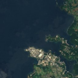
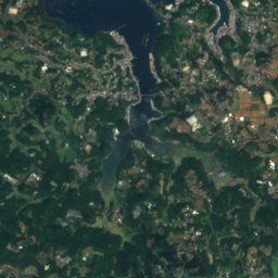
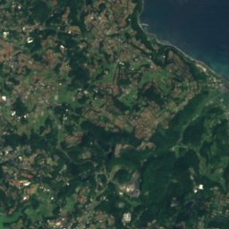
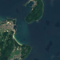
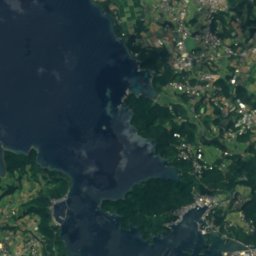
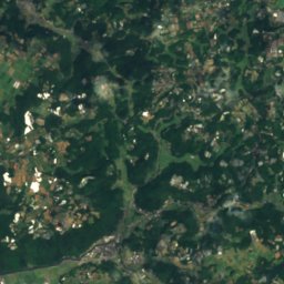
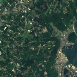
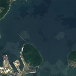
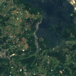
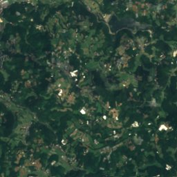
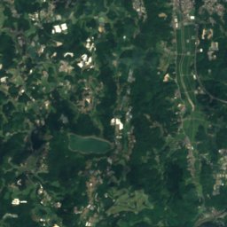
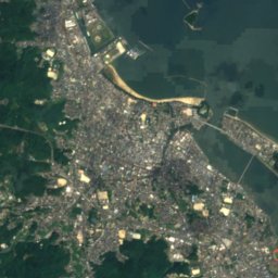
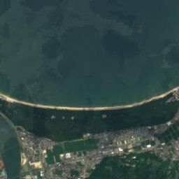
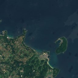
Satellite: Sentinel-2 cloudless 2016 by EOX IT Services GmbH · CC BY 4.0 · Contains modified Copernicus Sentinel data 2016
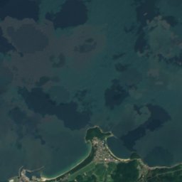
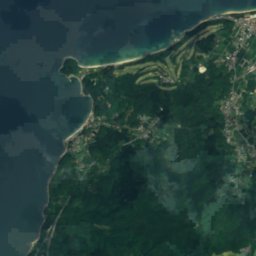
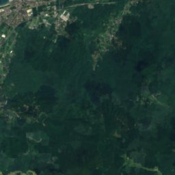
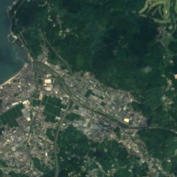
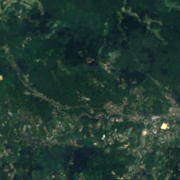
Satellite: Sentinel-2 cloudless 2016 by EOX IT Services GmbH · CC BY 4.0 · Contains modified Copernicus Sentinel data 2016

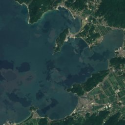
Satellite: Sentinel-2 cloudless 2016 by EOX IT Services GmbH · CC BY 4.0 · Contains modified Copernicus Sentinel data 2016
Summits nearbyMountains of Japan


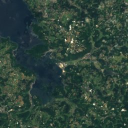
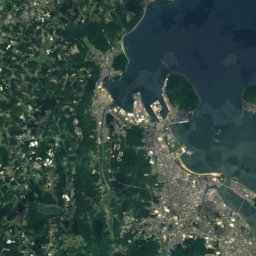
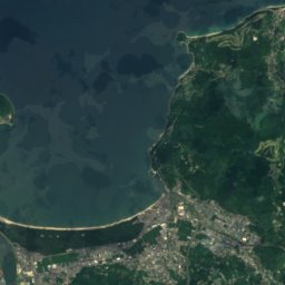
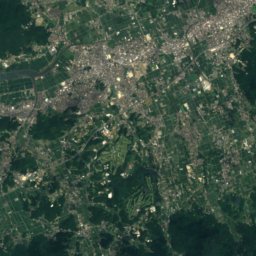
Satellite: Sentinel-2 cloudless 2016 by EOX IT Services GmbH · CC BY 4.0 · Contains modified Copernicus Sentinel data 2016
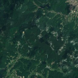
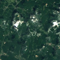
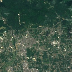
Satellite: Sentinel-2 cloudless 2016 by EOX IT Services GmbH · CC BY 4.0 · Contains modified Copernicus Sentinel data 2016
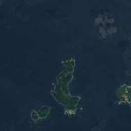

Stay nearby
Towns close by


Around here
Karatsu and around
Nature
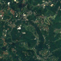
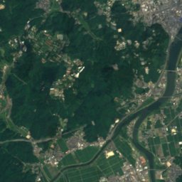
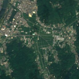
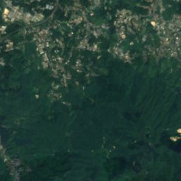
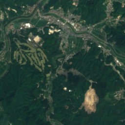
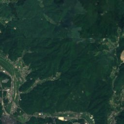
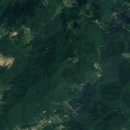
Satellite: Sentinel-2 cloudless 2016 by EOX IT Services GmbH · CC BY 4.0 · Contains modified Copernicus Sentinel data 2016
Mikaeri Falls
Waterfall
Satellite: Sentinel-2 cloudless 2016 by EOX IT Services GmbH · CC BY 4.0 · Contains modified Copernicus Sentinel data 2016
Tamashima Gawa
River
Mountains
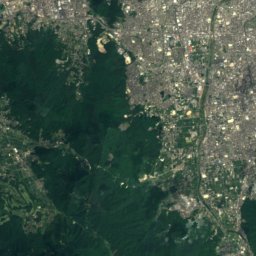
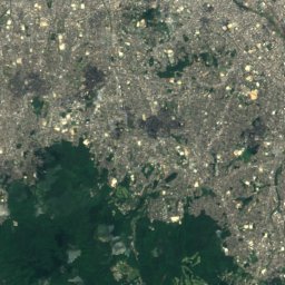
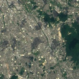
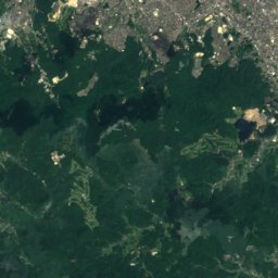
Satellite: Sentinel-2 cloudless 2016 by EOX IT Services GmbH · CC BY 4.0 · Contains modified Copernicus Sentinel data 2016
Mount Sefuri
1,055 m · Sefuri Mountains
Heritage


Old Takatori Family Residence
Important Cultural Property of Japan
Satellite: Sentinel-2 cloudless 2016 by EOX IT Services GmbH · CC BY 4.0 · Contains modified Copernicus Sentinel data 2016
Former Karatsu Bank Head Office
Prefectural Tangible Cultural Property · 1912


