Skip to content
Destinations
Weather & climate
Nature
Outdoors
Culture
Events
Sky & live
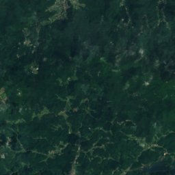
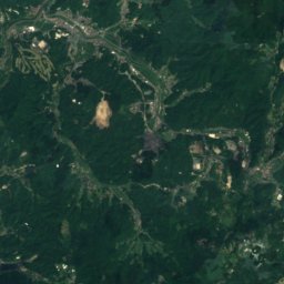
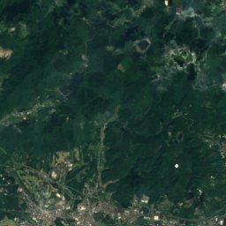
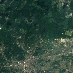
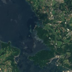
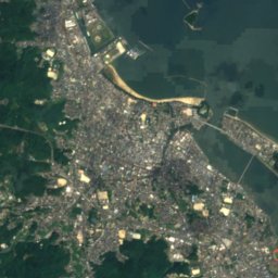
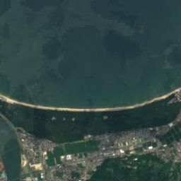
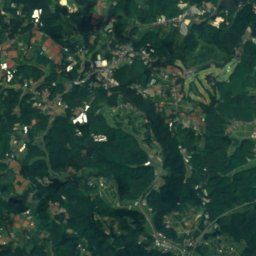
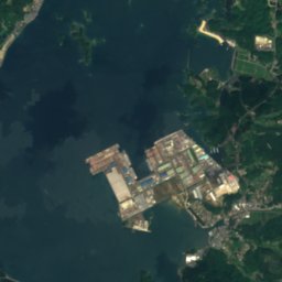
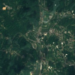
Satellite: Sentinel-2 cloudless 2016 by EOX IT Services GmbH · CC BY 4.0 · Contains modified Copernicus Sentinel data 2016
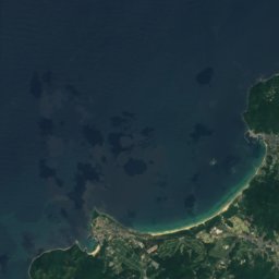
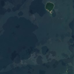
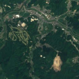
Tokusue River
Photo: そらみみ (Soramimi) · CC BY-SA 4.0 · Wikimedia Commons
Tokusue RiverReport this photo · linked, not stored
Tokusue River
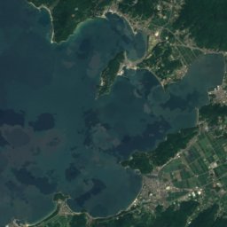
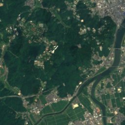
Matsuura River
Photo: そらみみ · CC BY-SA 4.0 · Wikimedia Commons
Matsuura RiverReport this photo · linked, not stored
Matsuura River
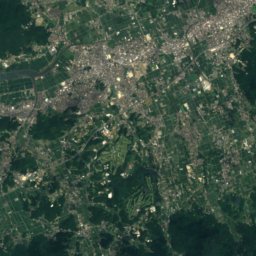
Mount Ten
Photo: Pekachu · CC BY-SA 4.0 · Wikimedia Commons
Mount TenReport this photo · linked, not stored
Mount Ten
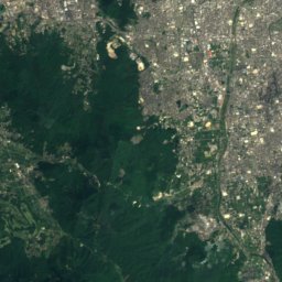
Mount Rai
Photo: そらみみ (Soramimi) · CC BY-SA 4.0 · Wikimedia Commons
Mount RaiReport this photo · linked, not stored
Mount Rai
WaterfallKaratsu, Saga

Mikaeri Falls

WaterfallBest Apr · Oct–Nov
Elevation–above sea level
Height100 mof the falls
Nearest townKaratsu11 km
33.37° N, 130.04° EUTC+9 · Japan Standard Time
When to goKaratsu · weather score
JanFebMarAprMayJunJulAugSepOctNovDec79October
Best timeApr · Oct–Nov
October: high / low21° / 17°
Waterfall

Mikaeri Falls in brief

Mikaeri Falls is a waterfall in Karatsu, Saga, Japan.

It drops 100 m.

The nearest town in the atlas is Karatsu, 11 km to the NW, where the weather is best in April, October and November.

Karatsu: weather and travel guide

Weather nearby now

Forecast for Karatsu
18°
Cloudy now
Wind20 km/h
Humidity72%
Cloud cover100%
Today
22 Oct
21°
18°
Fri
23 Oct
21°
17°
37 mm
Sat
24 Oct
23°
19°
48 mm
Sun
25 Oct
25°
22°
68 mm
Mon
26 Oct
25°
23°
42 mm

Model run 00:00 UTCRefreshed several times a day

When to go

The best months around Mikaeri Falls

Climate of Karatsu

Month score in Karatsu

Comfort, dry days and sunshine · out of 100
Map

Mikaeri Falls from above

Nature nearbyAll of Japan
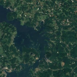
Satellite: Sentinel-2 cloudless 2016 by EOX IT Services GmbH · CC BY 4.0 · Contains modified Copernicus Sentinel data 2016
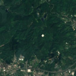
Kyūragi RiverRiver3.6 kmSWKyūragi River
Photo: そらみみ (Soramimi) · CC BY-SA 4.0 · Wikimedia CommonsReport this photo · linked, not stored
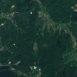
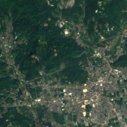
Tokusue RiverRiver7.2 kmNWTokusue River
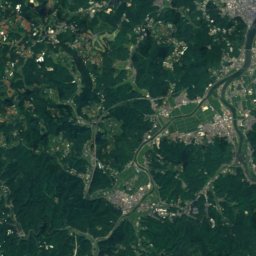
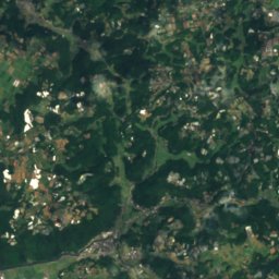
Satellite: Sentinel-2 cloudless 2016 by EOX IT Services GmbH · CC BY 4.0 · Contains modified Copernicus Sentinel data 2016
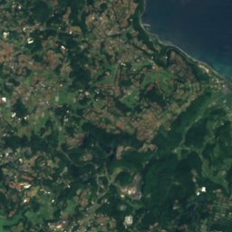
Tamashima GawaRiver9.7 kmNTamashima Gawa
Photo: そらみみ · CC BY-SA 4.0 · Wikimedia CommonsReport this photo · linked, not stored
Matsuura RiverRiver11 kmNWMatsuura River
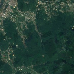
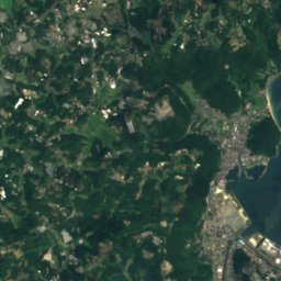
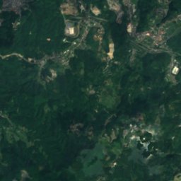
Satellite: Sentinel-2 cloudless 2016 by EOX IT Services GmbH · CC BY 4.0 · Contains modified Copernicus Sentinel data 2016
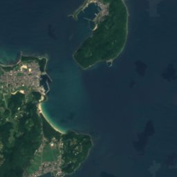
Kannon FallsWaterfall11 kmNEKannon Falls
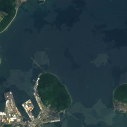
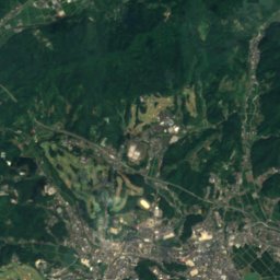
Satellite: Sentinel-2 cloudless 2016 by EOX IT Services GmbH · CC BY 4.0 · Contains modified Copernicus Sentinel data 2016

Matsuura-seIsland11 kmNMatsuura-se
Summits nearbyMountains of Japan
Photo: Pekachu · CC BY-SA 4.0 · Wikimedia CommonsReport this photo · linked, not stored
Mount Ten10 km E1,046 mJuly 25°Mount Ten
Photo: そらみみ (Soramimi) · CC BY-SA 4.0 · Wikimedia CommonsReport this photo · linked, not stored
Mount Rai21 km NE955 mJuly 25°Mount Rai
Photo: Pekachu · CC BY-SA 4.0 · Wikimedia CommonsReport this photo · linked, not stored
Hagane Yama17 km NE900 mJuly 25°Hagane Yama
Satellite: Sentinel-2 cloudless 2016 by EOX IT Services GmbH · CC BY 4.0 · Contains modified Copernicus Sentinel data 2016

Sakurei Zan2.7 km SE887 mJuly 26°Sakurei Zan
Satellite: Sentinel-2 cloudless 2016 by EOX IT Services GmbH · CC BY 4.0 · Contains modified Copernicus Sentinel data 2016
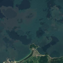
Mount Hiko, Saga15 km E845 mJuly 26°Mount Hiko, Saga
Satellite: Sentinel-2 cloudless 2016 by EOX IT Services GmbH · CC BY 4.0 · Contains modified Copernicus Sentinel data 2016
Mount Uki13 km NE805 mJuly 25°Mount Uki
Stay nearby

Towns close by

Karatsu
Photo: ascesis · CC BY-SA 3.0 · Wikimedia CommonsReport this photo · linked, not stored

Karatsu

Saga · 11 km NW
21°Oct high
9wet days
79score
Karatsu
Taku
Photo: STA3816 · CC BY-SA 3.0 · Wikimedia CommonsReport this photo · linked, not stored

Taku

Saga · 12 km SE
22°Oct high
9wet days
80score
Taku
Ogi
Photo: そらみみ · CC BY-SA 4.0 · Wikimedia CommonsReport this photo · linked, not stored

Ogi

Saga · 17 km SE
22°Oct high
9wet days
80score
Ogi
Omachi
Photo: Muyo · CC BY-SA 3.0 · Wikimedia CommonsReport this photo · linked, not stored

Omachi

Saga · 18 km SE
22°Oct high
9wet days
80score
Omachi
Around here

Karatsu and around

Karatsu
Photo: ascesis · CC BY-SA 3.0 · Wikimedia CommonsReport this photo · linked, not stored

Karatsu

Saga · Japan
Apr · Oct–Novbest months
28°July high
7 maltitude
Karatsu

Nature

Matsuura River
Photo: そらみみ · CC BY-SA 4.0 · Wikimedia CommonsReport this photo · linked, not stored
1.5 km NE

Matsuura River

River
Matsuura River
Tokusue River
Photo: そらみみ (Soramimi) · CC BY-SA 4.0 · Wikimedia CommonsReport this photo · linked, not stored
3.9 km S

Tokusue River

River
Tokusue River
Satellite: Sentinel-2 cloudless 2016 by EOX IT Services GmbH · CC BY 4.0 · Contains modified Copernicus Sentinel data 2016
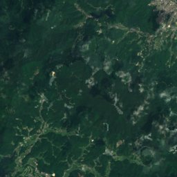
6.8 km E

Tamashima Gawa

River
Tamashima Gawa

Mountains

Satellite: Sentinel-2 cloudless 2016 by EOX IT Services GmbH · CC BY 4.0 · Contains modified Copernicus Sentinel data 2016
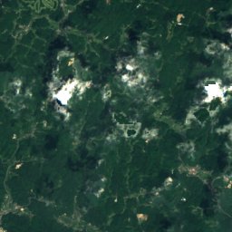
37 km E

Mount Sefuri

1,055 m · Sefuri Mountains
Mount Sefuri
Mount Ten
Photo: Pekachu · CC BY-SA 4.0 · Wikimedia CommonsReport this photo · linked, not stored
20 km SE

Mount Ten

1,046 m
Mount Ten
Satellite: Sentinel-2 cloudless 2016 by EOX IT Services GmbH · CC BY 4.0 · Contains modified Copernicus Sentinel data 2016
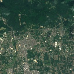
31 km E

Kana Yama

967 m
Kana Yama

Heritage

Nabatake Site
Photo: Pekachu · CC BY-SA 4.0 · Wikimedia CommonsReport this photo · linked, not stored
1.3 km NW

Nabatake Site

Historic Site of Japan
Nabatake Site
Old Takatori Family Residence
Photo: STA3816 · CC BY-SA 4.0 · Wikimedia CommonsReport this photo · linked, not stored
1.3 km N

Old Takatori Family Residence

Important Cultural Property of Japan
Old Takatori Family Residence
Satellite: Sentinel-2 cloudless 2016 by EOX IT Services GmbH · CC BY 4.0 · Contains modified Copernicus Sentinel data 2016
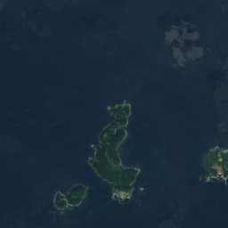
0.7 km N

Former Karatsu Bank Head Office

Prefectural Tangible Cultural Property · 1912
Former Karatsu Bank Head Office

Museums

Matsurokan
Photo: Pekachu · CC BY-SA 4.0 · Wikimedia CommonsReport this photo · linked, not stored
1.3 km NW

Matsurokan

Archaeological museum
Matsurokan
Kawamura Art Museum
Photo: ハポニアラ · CC BY 4.0 · Wikimedia CommonsReport this photo · linked, not stored
1.2 km N

Kawamura Art Museum

Art museum
Kawamura Art Museum
旧三菱合資会社唐津支店本館
Photo: STA3816 · CC BY-SA 4.0 · Wikimedia CommonsReport this photo · linked, not stored
3.5 km NW

旧三菱合資会社唐津支店本館

Folk museum · 1908
旧三菱合資会社唐津支店本館