


Ecuador
Napo
Napo is one of the 24 regions of Ecuador; its largest place is Tena.
Best timeJun–Aug
Best weather in OctoberBaeza 57
October: highs14° – 28°
Rain this month, on average296mm
Mean of its 4 best-known places. Best: Jun–Aug.
Napo at a glance
The atlas follows 72 places here month by month, with 4 mountains and 0 monuments; across the most visited of them, the best months are June, July and August.
When to go to Napo
The best places of every month here, and the average climate of the best-known ones.
| Jan | Feb | Mar | Apr | May | Jun | Jul | Aug | Sep | Oct | Nov | Dec | |
|---|---|---|---|---|---|---|---|---|---|---|---|---|
| Score | 46 | 44 | 42 | 42 | 45 | 48 | 49 | 49 | 47 | 45 | 45 | 47 |
| High | 22° | 22° | 22° | 22° | 22° | 21° | 21° | 21° | 22° | 22° | 22° | 22° |
| Low | 15° | 15° | 16° | 16° | 15° | 15° | 14° | 14° | 14° | 15° | 15° | 15° |
| Rain (mm) | 285 | 280 | 323 | 363 | 328 | 309 | 273 | 212 | 237 | 296 | 330 | 335 |
Places in Napo
The best-known places with their score this month; every town and village is in the A to Z list below.
46October
Tena
30k people
28° / 21°358 mm
 48October
Archidona
7,353 people
28° / 20°369 mm
57OctoberBaeza
1,691 people
21° / 12°277 mm
29OctoberPapallacta
Jan · Sep · Dec
14° / 6°181 mm
5 districts, each with all of its towns and villages

Archidona24 places · 7,353 · Archidona
Carlos Julio Arosemena Tola3 places · Carlos Julio Arosemena Tola
El Chaco8 places · Sardinas

Quijos12 places · 1,691 · Baeza
Tena16 places · 30k · Tena
More towns and villages of Napo · 9
Napo from above
Every place scored for the month you pick: comfortable temperatures, dry days and clear skies.
OctoberMonth scores for Napo


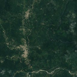
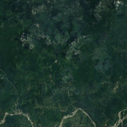
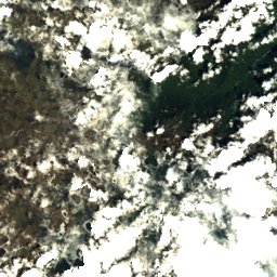
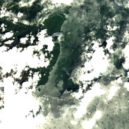
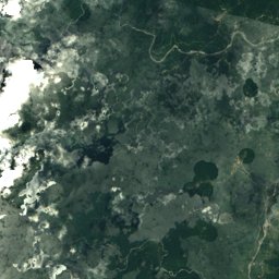
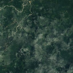
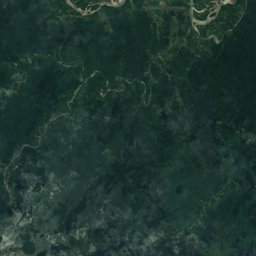
Satellite: Sentinel-2 cloudless 2016 by EOX IT Services GmbH · CC BY 4.0 · Contains modified Copernicus Sentinel data 2016

Nature in Napo

Summit5,758 m
Antisana volcano
Summit3,990 m
Sumaco
National park
Antisana National Park
Lake
Papallacta LakeWildlife in October
The birds and mammals of Ecuador seen most this month, compared with the rest of their year.


Outdoors in Napo
What's on in Napo
Getting to Napo
Cotopaxi International AirportLTX · Tena
90 kmFrancisco De Orellana AirportOCC · Tena
109 kmMariscal Sucre International AirportUIO · Tena
114 kmTowns in Napo from A to Z
The 4 main places; every village is listed on its district's page.
Other regions of Ecuador
Azuay941Bolívar61Canar277Carchi374Chimborazo Province217Cotopaxi327El Oro526Esmeraldas841Galápagos31Guayas1,262Imbabura300Loja2,244Los Ríos279Manabí372Morona-Santiago Province229Orellana Province81Pastaza Province90Pichincha993Santa Elena16Santo Domingo de los Tsáchilas113Sucumbíos352Tungurahua Province280Zamora Chinchipe300