Nature
Waters, ice and wild places of Ecuador
Lakes, waterfalls, glaciers, national parks and mountain huts, each with its location, its size and the weather of the towns around it.
Lakes13with a page
Waterfalls5with a page
Glaciers3with a page
National parks8with a page

Lakes
Lakes of Ecuador


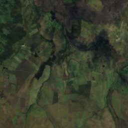
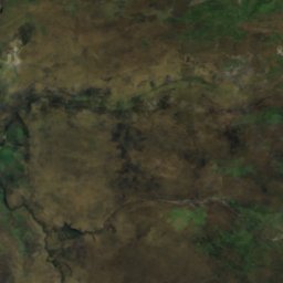
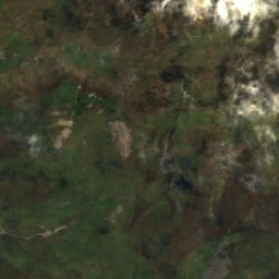
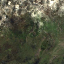
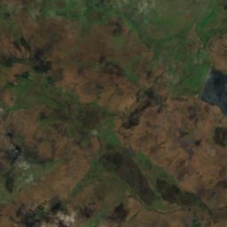
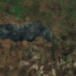
Satellite: Sentinel-2 cloudless 2016 by EOX IT Services GmbH · CC BY 4.0 · Contains modified Copernicus Sentinel data 2016
Mikakucha
Papallacta, Napo
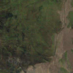
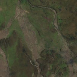
Satellite: Sentinel-2 cloudless 2016 by EOX IT Services GmbH · CC BY 4.0 · Contains modified Copernicus Sentinel data 2016
Lagos de Cajas
Machachi, Pichincha
4,035 m
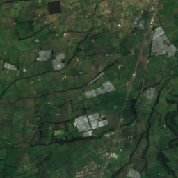
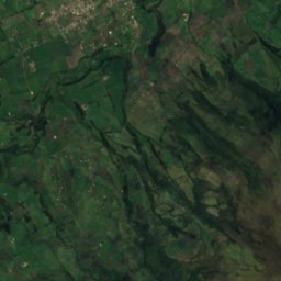
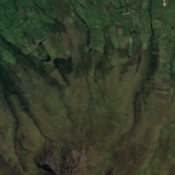
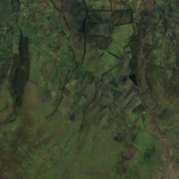
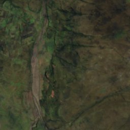
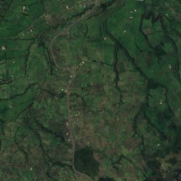
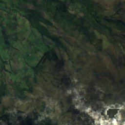
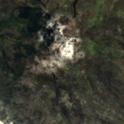
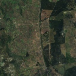
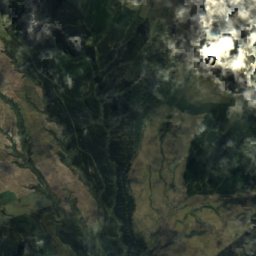
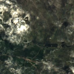
Satellite: Sentinel-2 cloudless 2016 by EOX IT Services GmbH · CC BY 4.0 · Contains modified Copernicus Sentinel data 2016
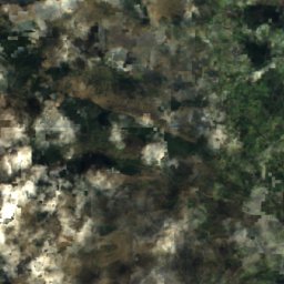
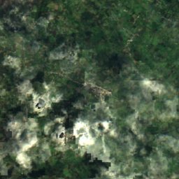
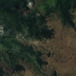
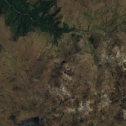
Laguna de Limpiopungu
Machachi, Pichincha
3,857 m
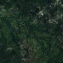
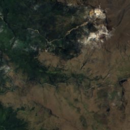
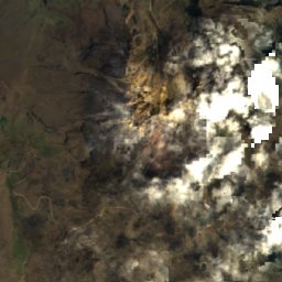
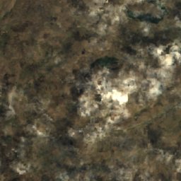
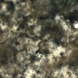
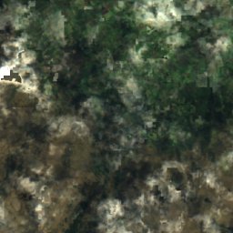
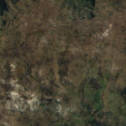
Satellite: Sentinel-2 cloudless 2016 by EOX IT Services GmbH · CC BY 4.0 · Contains modified Copernicus Sentinel data 2016
Lagunas Los Violines
El Ángel, Carchi
3,869 m
Satellite: Sentinel-2 cloudless 2016 by EOX IT Services GmbH · CC BY 4.0 · Contains modified Copernicus Sentinel data 2016
Lagunas Verdecochas
Papallacta, Napo
3,442 m
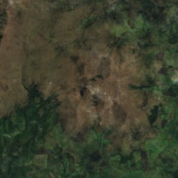
Satellite: Sentinel-2 cloudless 2016 by EOX IT Services GmbH · CC BY 4.0 · Contains modified Copernicus Sentinel data 2016
Lagunas del Crespo
El Ángel, Carchi
3,820 m
Waterfalls
Waterfalls of Ecuador


Cascada el Pailón del Diablo(dueño el walter)
Agoyán, Tungurahua Province


Glaciers
Glaciers of Ecuador
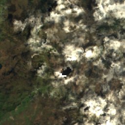
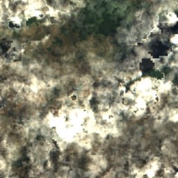
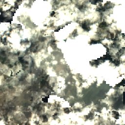
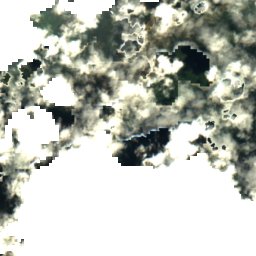
Satellite: Sentinel-2 cloudless 2016 by EOX IT Services GmbH · CC BY 4.0 · Contains modified Copernicus Sentinel data 2016
Antizana 15 Alpha Glacier
Papallacta, Napo
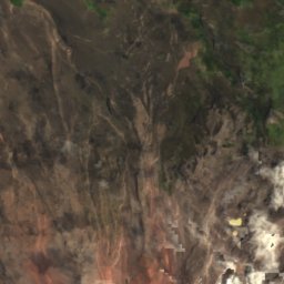
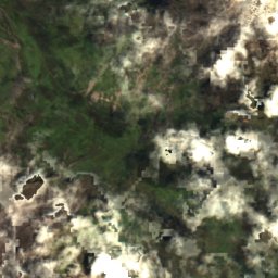
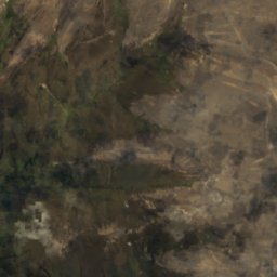
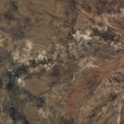
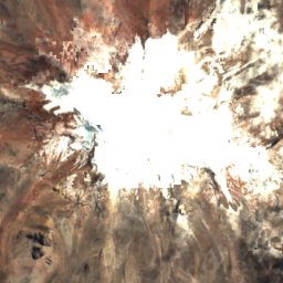
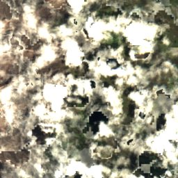
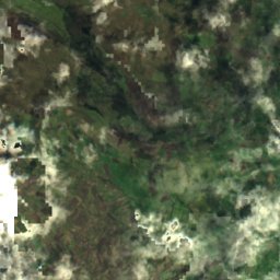
Satellite: Sentinel-2 cloudless 2016 by EOX IT Services GmbH · CC BY 4.0 · Contains modified Copernicus Sentinel data 2016
Chimborazo
Cevallos, Tungurahua Province
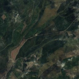
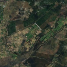
Satellite: Sentinel-2 cloudless 2016 by EOX IT Services GmbH · CC BY 4.0 · Contains modified Copernicus Sentinel data 2016
Volcán Cotopaxi
Machachi, Pichincha
National parks
National parks of Ecuador

Photo: amalavida.tv from Ecuador · CC BY-SA 2.0 · Wikimedia CommonsReport this photo · linked, not stored
Llanganates National Park
Agoyán, Tungurahua Province
2,199 km²

Photo: Delphine Ménard (notafish }<';>) · CC BY-SA 2.0 fr · Wikimedia CommonsReport this photo · linked, not stored
El Cajas National Park
Sayausi, Azuay
3,615 m

Photo: Ecuador planeta magico · CC BY-SA 4.0 · Wikimedia CommonsReport this photo · linked, not stored
Machalilla National Park
Puerto López, Manabí
3 m

Satellite: Sentinel-2 cloudless 2016 by EOX IT Services GmbH · CC BY 4.0 · Contains modified Copernicus Sentinel data 2016
Cotopaxi National Park
Machachi, Pichincha
226 m
Satellite: Sentinel-2 cloudless 2016 by EOX IT Services GmbH · CC BY 4.0 · Contains modified Copernicus Sentinel data 2016
Siete Iglesias Municipal Ecological Conservation Area
Principal, Azuay
160 km²
Satellite: Sentinel-2 cloudless 2016 by EOX IT Services GmbH · CC BY 4.0 · Contains modified Copernicus Sentinel data 2016
Podocarpus National Park
Vilcabamba, Loja
2,583 m
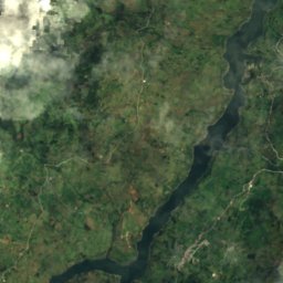
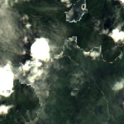
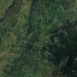
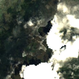
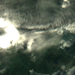
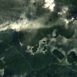
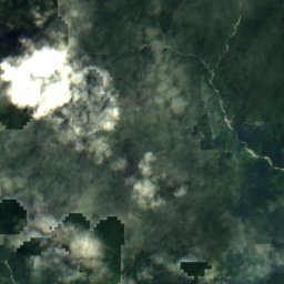
Satellite: Sentinel-2 cloudless 2016 by EOX IT Services GmbH · CC BY 4.0 · Contains modified Copernicus Sentinel data 2016
Rio Negro Sopladora National Park
La Unión, Azuay
659 km²
Beaches
Beaches of Ecuador


Photo: prilfish from Vienna, Austria · CC BY 2.0 · Wikimedia CommonsReport this photo · linked, not stored
Muisne Beach
Muisne, Esmeraldas



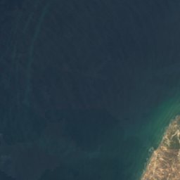
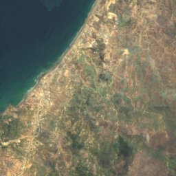


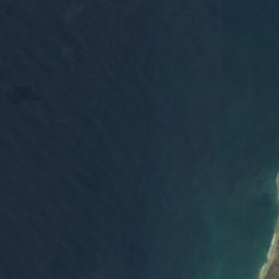
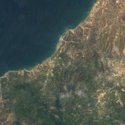

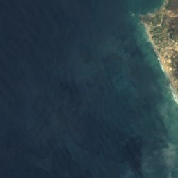
Satellite: Sentinel-2 cloudless 2016 by EOX IT Services GmbH · CC BY 4.0 · Contains modified Copernicus Sentinel data 2016
Playa San Lorenzo
Manta, Manabí
Islands
Islands of Ecuador


Photo: Pesca Deportiva Ecuador · CC BY-SA 4.0 · Wikimedia CommonsReport this photo · linked, not stored
Puná Island
Posorja, Guayas
35 m


Photo: amalavida.tv from Ecuador · CC BY-SA 2.0 · Wikimedia CommonsReport this photo · linked, not stored
Santay Island
Guayaquil, Guayas
10 m


All 90 islands
- Arrecife Atacames
- Arrecife de Atacames
- Arrecife Schiavoni
- Bajo Columbia
- Bajo de Afuera
- Bajo de Ballenita
- Bajo Mondragón
- Banco Copé
- Bar Discoteca Julián Matadero
- Bar Discoteca May Day
- Cuatro Hermanos 2 Island
- Cuatro Hermanos Este Island
- Cuatro Hermanos Oeste Island
- Cuatro Hermanos Sur Island
- Discoteca Yoko
- El Islote
- Isabela Island
- Isla Ahorcados
- Isla Barbascal
- Isla Bartola
- Isla Boca Tenguel
- Isla Cabeza de Mate
- Isla Callejones
- Isla Cayo
- Isla Centinela
- Isla Churutillo
- Isla Cojimíes, Esmeraldas
- Isla Cojimíes, Esmeraldas
- Isla Corazón
- Isla de Flores
- Isla de La Campana
- Isla de La Esperanza
- Isla de la Providencia
- Isla de La Tola
- Isla de los Ingleses
- Isla de Pongal
- Isla El Gallo
- Isla El Sucre
- Isla Escalante, Guayas
- Isla Gato
- Isla Gavilán
- Isla La Barca
- Isla La Bocanita
- Isla La Orosco
- Isla Las Cojas
- Isla Lobos
- Isla Malabrigo
- Isla Manglecito Chico
- Isla Manglecito Grande
- Isla Masa
- Isla Mocolí
- Isla Mondragón
- Isla Nueva
- Isla Palma Real
- Isla Palo Santo
- Isla Patria
- Isla Pollos
- Isla Puercos
- Isla Puna Vieja Chico
- Isla Robato
- Isla Salango
- Isla San Antonio
- Isla San Ignacio, Guayas
- Isla San Ignacio, Guayas
- Isla San Pedro
- Isla Santa Ana
- Isla Santa Rosa
- Isla Silva
- Isla Sombrero
- Isla Tembleque
- Isla Zapatero
- Isla Zapotal
- Islas Los Ahorcados
- Islote La Viuda
- Jambeli Archipelago
- Las Tintoreras Islet
- León Dormido
- Limones Island
- Lobos Island
- Local de Recepciones Rancho Grande
- Los Bajos de Payana
- Malabrigo
- Matapalo Island
- Puná Island
- San Cristóbal Island
- Santa Cruz Island
- Santa Fe Island
- Santay Island
- South Plaza Island
- Tortuga Island
Rivers
Rivers of Ecuador


Photo: Ministerio de Turismo Ecuador from Ecuador · CC BY-SA 2.0 · Wikimedia CommonsReport this photo · linked, not stored
Esmeraldas River
Esmeraldas, Esmeraldas


Photo: StarbucksFreak at the English-language Wikipedia · CC BY-SA 3.0 · Wikimedia CommonsReport this photo · linked, not stored
Zarumilla River
Huaquillas, El Oro

Photo: Agencia de Noticias ANDES · CC BY-SA 2.0 · Wikimedia CommonsReport this photo · linked, not stored
Babahoyo River
Guayaquil, Guayas


All 40 rivers
- Ambato River
- Arenillas River
- Ayampe River
- Babahoyo River
- Balao River
- Cañar River
- Catamayo River
- Chone River
- Coaque River
- Coca River
- Cojimies River
- Daule River
- Esmeraldas River
- Guayllabamba River
- Jipijapa River
- Jubones River
- Machángara River
- Mache River
- Magro River
- Matadero River
- Mataje River
- Monjas River
- Muisne River
- Napo River
- Palora River
- Pastaza River
- Patate River
- Paute River
- Payamino River
- Portoviejo River
- Puca River
- Tarqui River
- Taura River
- Tomebamba River
- Tumbes River
- Upano River
- Vinces River
- Yaguachi River
- Yanuncay River
- Zarumilla River