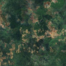
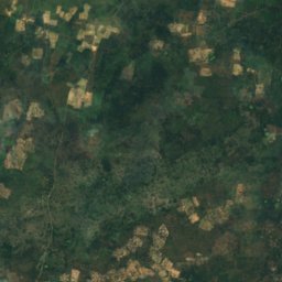
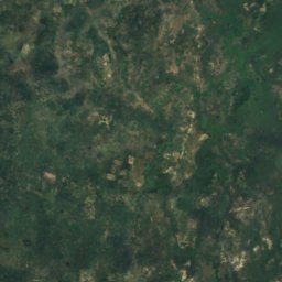
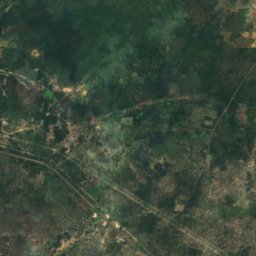
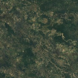
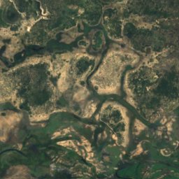
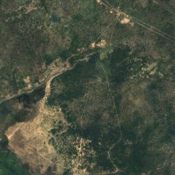
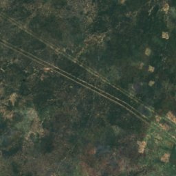
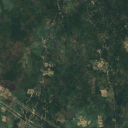
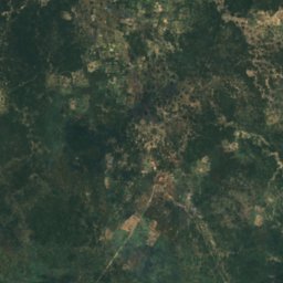
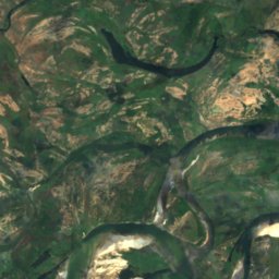
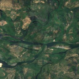
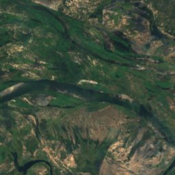
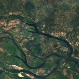
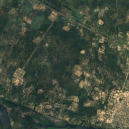
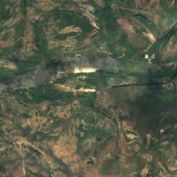
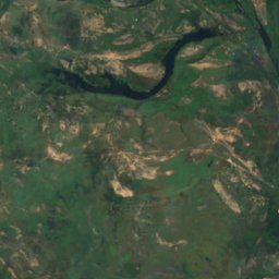
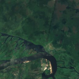
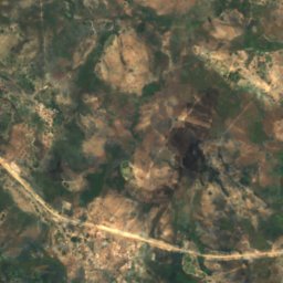
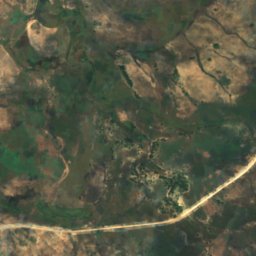
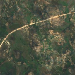
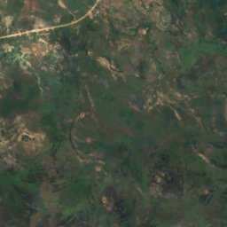
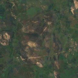
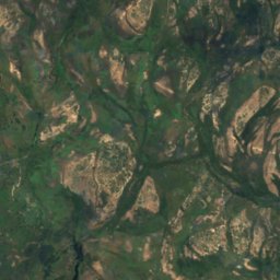
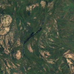
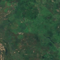
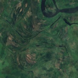
Satellit: Sentinel-2 cloudless 2016 by EOX IT Services GmbH · CC BY 4.0 · Contains modified Copernicus Sentinel data 2016
InselLuhonono, Zambezi Region
Mutonga
Insel941 m HöheAm besten Mai–Juli
Höhe941 müber dem Meer
Fläche–Gesamtfläche
Nächster OrtLuhonono7,7 km
17,50° S, 24,78° OHöhe 941 mUTC+2 · Zentralafrikanische Zeit
ReisezeitLuhonono · Wetterwertung
Beste ZeitMai–Juli
Oktober: Max. / Min.34° / 21°
Insel
Mutonga in Kürze
Mutonga ist eine Insel in Luhonono, Zambezi Region, Namibia.
Sie liegt 941 m über dem Meer.
Der nächste Ort ist Luhonono, 7,7 km südöstlich; dort ist das Wetter im Mai, Juni und Juli am besten.
Wetter in der Nähe
Vorhersage für Luhonono33°
Teils bewölkt – jetzt
Heute
25. Okt.
35°
23°
Mo
26. Okt.
36°
21°
Di
27. Okt.
37°
21°
Mi
28. Okt.
37°
24°
Do
29. Okt.
36°
23°
Modelllauf 00:00 UTCMehrmals täglich aktualisiert
Reisezeit
Klima in LuhononoDie besten Monate rund um Mutonga
Monats-Score in Luhonono
Komfort, trockene Tage und Sonne · von 10039
Jan.
44
Feb.
46
März
66
Apr.
87
Mai
98
Juni
100
Juli
85
Aug.
66
Sep.
54
Okt.
31
Nov.
36
Dez.
Karte
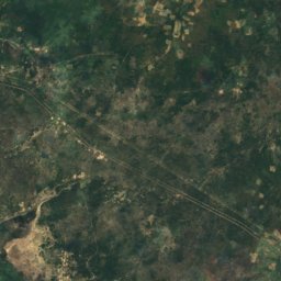
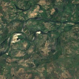
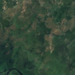
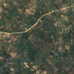
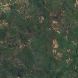
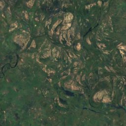
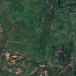
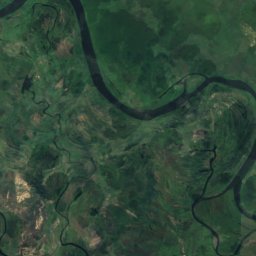
Mutonga von oben
Natur in der NäheAlles in Namibia
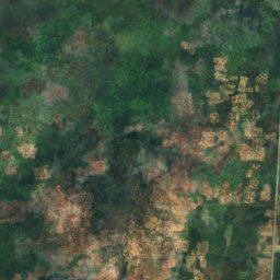
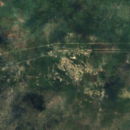
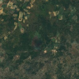
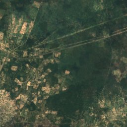
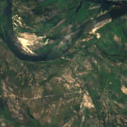
Satellit: Sentinel-2 cloudless 2016 by EOX IT Services GmbH · CC BY 4.0 · Contains modified Copernicus Sentinel data 2016
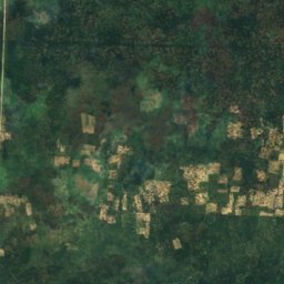
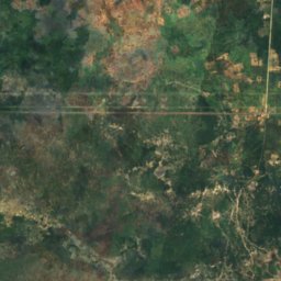
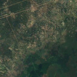
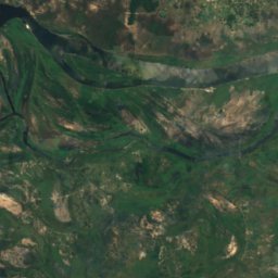
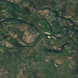
Satellit: Sentinel-2 cloudless 2016 by EOX IT Services GmbH · CC BY 4.0 · Contains modified Copernicus Sentinel data 2016
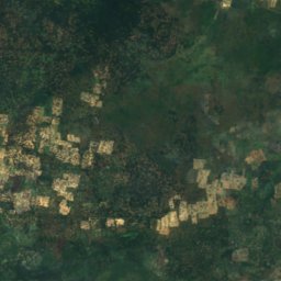
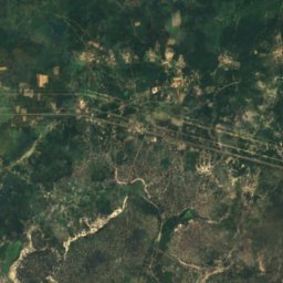
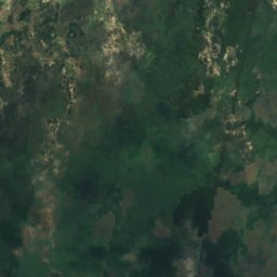
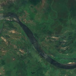
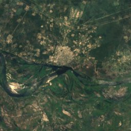
Satellit: Sentinel-2 cloudless 2016 by EOX IT Services GmbH · CC BY 4.0 · Contains modified Copernicus Sentinel data 2016
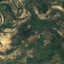
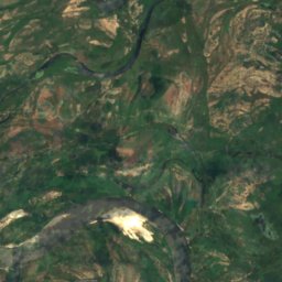
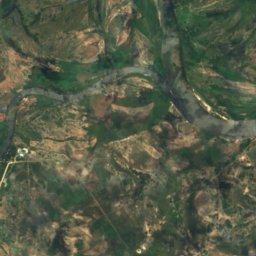
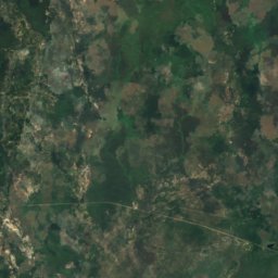
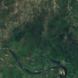
Satellit: Sentinel-2 cloudless 2016 by EOX IT Services GmbH · CC BY 4.0 · Contains modified Copernicus Sentinel data 2016
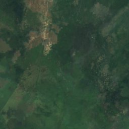
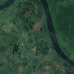
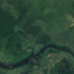
In der Umgebung
Luhonono und Umgebung
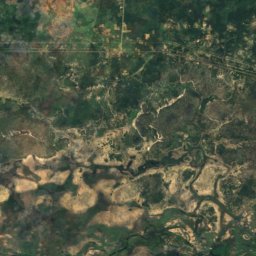
Natur
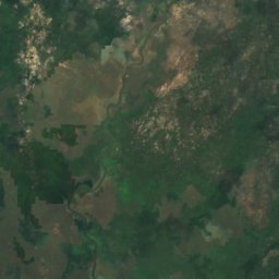
Satellit: Sentinel-2 cloudless 2016 by EOX IT Services GmbH · CC BY 4.0 · Contains modified Copernicus Sentinel data 2016
Silombe
Insel · 945 m
Satellit: Sentinel-2 cloudless 2016 by EOX IT Services GmbH · CC BY 4.0 · Contains modified Copernicus Sentinel data 2016
Kambili Muliata
Insel · 934 m