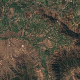
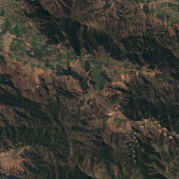
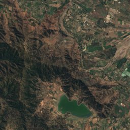
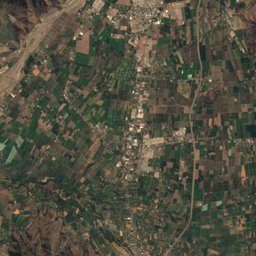
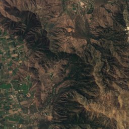
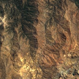
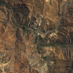
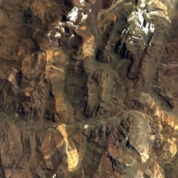
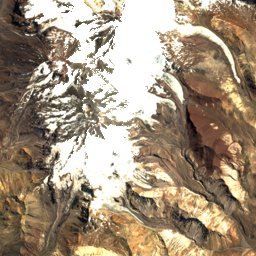
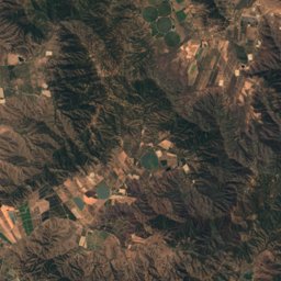
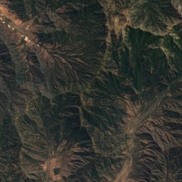
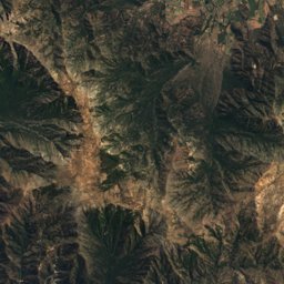
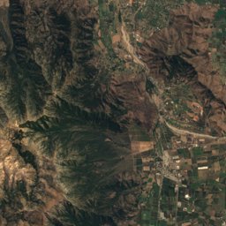
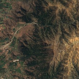
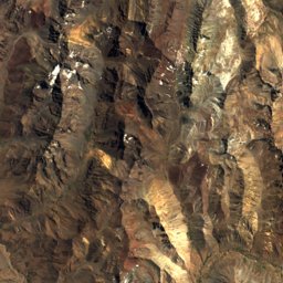
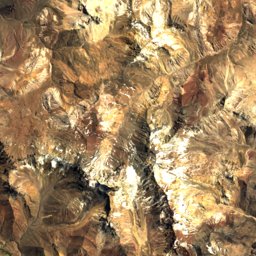
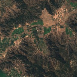
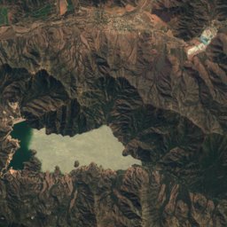
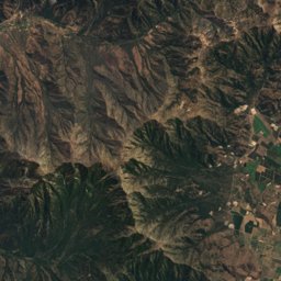
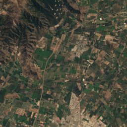
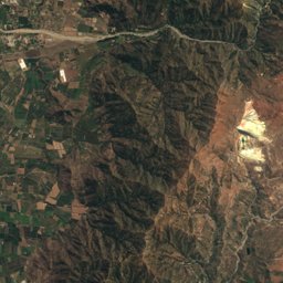
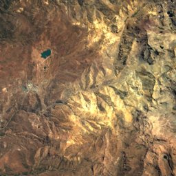
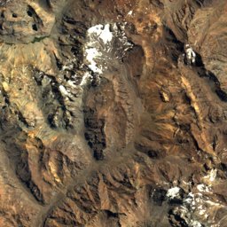
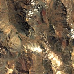
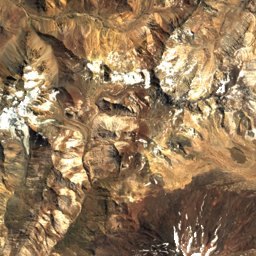
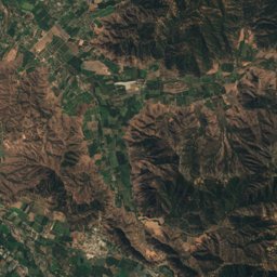
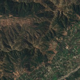
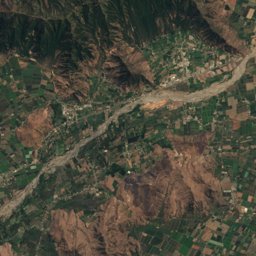
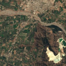
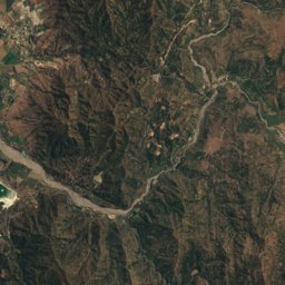
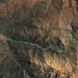
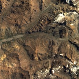
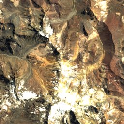
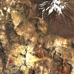
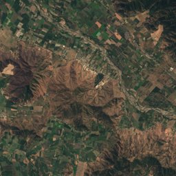
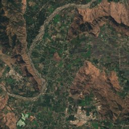
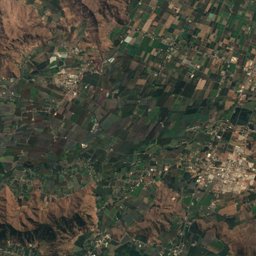
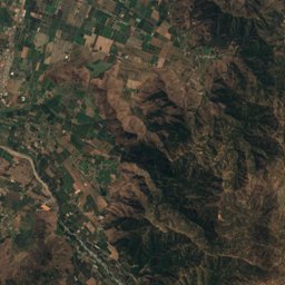
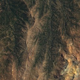
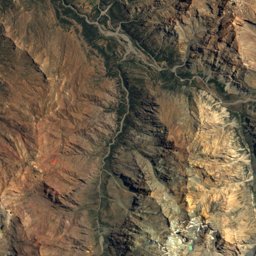
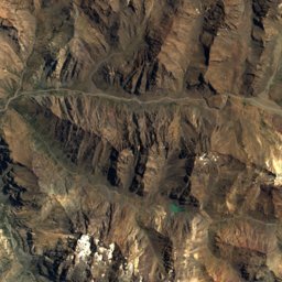
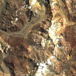
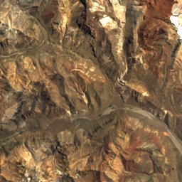
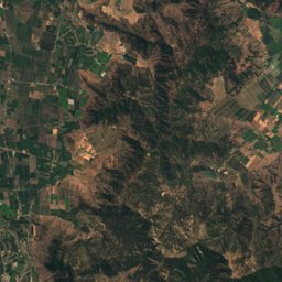
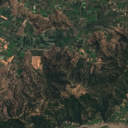
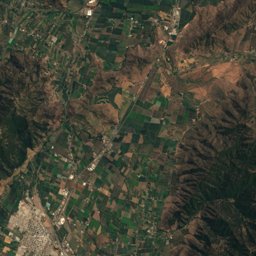
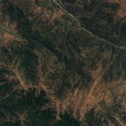
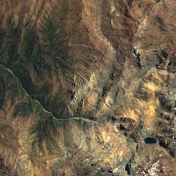
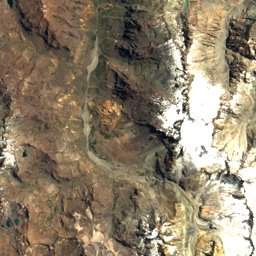
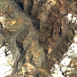
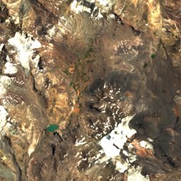
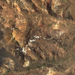
Satellite: Sentinel-2 cloudless 2016 by EOX IT Services GmbH · CC BY 4.0 · Contains modified Copernicus Sentinel data 2016
Outdoor activitiesCoya, Chile
Outdoors near Coya
within 15 km19places
Viewpoints8
Camp sites7
34.21° S, 70.53° WElevation 803 mUTC−3 · Chile Summer Time
When to goCoya · weather score
Best timeApr · Oct–Nov
October: high / low19° / 7°
Viewpoints
| Name | Nearby | Details |
|---|---|---|
| Cañón | 0.2 km | |
| Cerro de la Bandera | 1.2 km | |
| Quebrada de los Bosques | 4.5 km | |
| Sector Junta de los Ríos Chacayes | 5.6 km | |
| Mirador Cerro San Juan | 9.9 km | |
| Cañón Cachapoal | 12.8 km | |
| Cuesta Caracolitos | 13.4 km | |
| Mirador La Guardia | 13.8 km |
Viewpoints in O'Higgins Region
Camp sites
| Name | Nearby | Details |
|---|---|---|
| Camping Huinganes | 5.9 km | Website |
| Camping Ranchillo | 13.2 km | |
| Camping Tricahues | 12.5 km | |
| Camping Los Peumos | 13.5 km | |
| Camping El Manzanobackcountry | 13.6 km | |
| Cal y Canto | 8.8 km | |
| El Refugio | 8.8 km |
Camp sites in O'Higgins Region
Mountain huts
| Name | Nearby | Details |
|---|---|---|
| Refugio El Clonquistaffed | 14.5 km | |
| Refugio de Arrierosstaffed | 10.7 km |
Hot springs & thermal baths
| Name | Nearby | Details |
|---|---|---|
| Termas de Cauquenesnatural spring | 5.3 km | Website |
Golf courses
| Name | Nearby | Details |
|---|---|---|
| Club de Campo Coya | 1.7 km |
Ski areas
Places come from an open map made by volunteers: well-known sites are there, small or new ones may be missing. Opening times and prices change, so check before you go.