


S-charl
S-charl is a locality in Grisons, Switzerland, 1,810 m above sea level. The climate is classified as subarctic (Köppen Dfc), with warm summers, cold winters and precipitation in every season.
Best: Jun–Aug. Warmth, sunshine and dry days, month by month.
S-charl at a glance
The months with the highest weather score
Average high in July
Average low in January
133 mm of rain
42 mm of rain
1 of them World Heritage
Weather in S-charl
Now and the next ten days. The 14 and 30-day outlooks are one click away.
Partly cloudy · wind 1 km/h · humidity 51%
When to go to S-charl
Each month's weather score (warmth, sun, dry days) with its temperatures and rain.
| Jan | Feb | Mar | Apr | May | Jun | Jul | Aug | Sep | Oct | Nov | Dec | |
|---|---|---|---|---|---|---|---|---|---|---|---|---|
| Score | 21 | 24 | 18 | 19 | 24 | 48 | 63 | 60 | 36 | 22 | 20 | 19 |
| High | -2° | -1° | 3° | 6° | 11° | 15° | 18° | 18° | 13° | 9° | 3° | -1° |
| Low | -13° | -12° | -8° | -4° | 1° | 4° | 6° | 6° | 3° | -1° | -7° | -11° |
| Rain (mm) | 52 | 42 | 55 | 61 | 97 | 109 | 133 | 131 | 90 | 90 | 80 | 59 |
| Wet days | 13 | 12 | 15 | 15 | 21 | 21 | 21 | 21 | 16 | 13 | 13 | 13 |
What's on in S-charl
Concerts, football matches, the public holidays ahead and the town's festivals through the year.
Monuments and museums in S-charl


Outdoors around S-charl
Hiking routes from the town, and what there is to do within 15 km: huts, viewpoints, climbing, camping, ski areas and dive sites.
 T2
Way of Saint James
 T2
Nationalpark-Panoramaweg
Senda dal muglin
Nature around S-charl


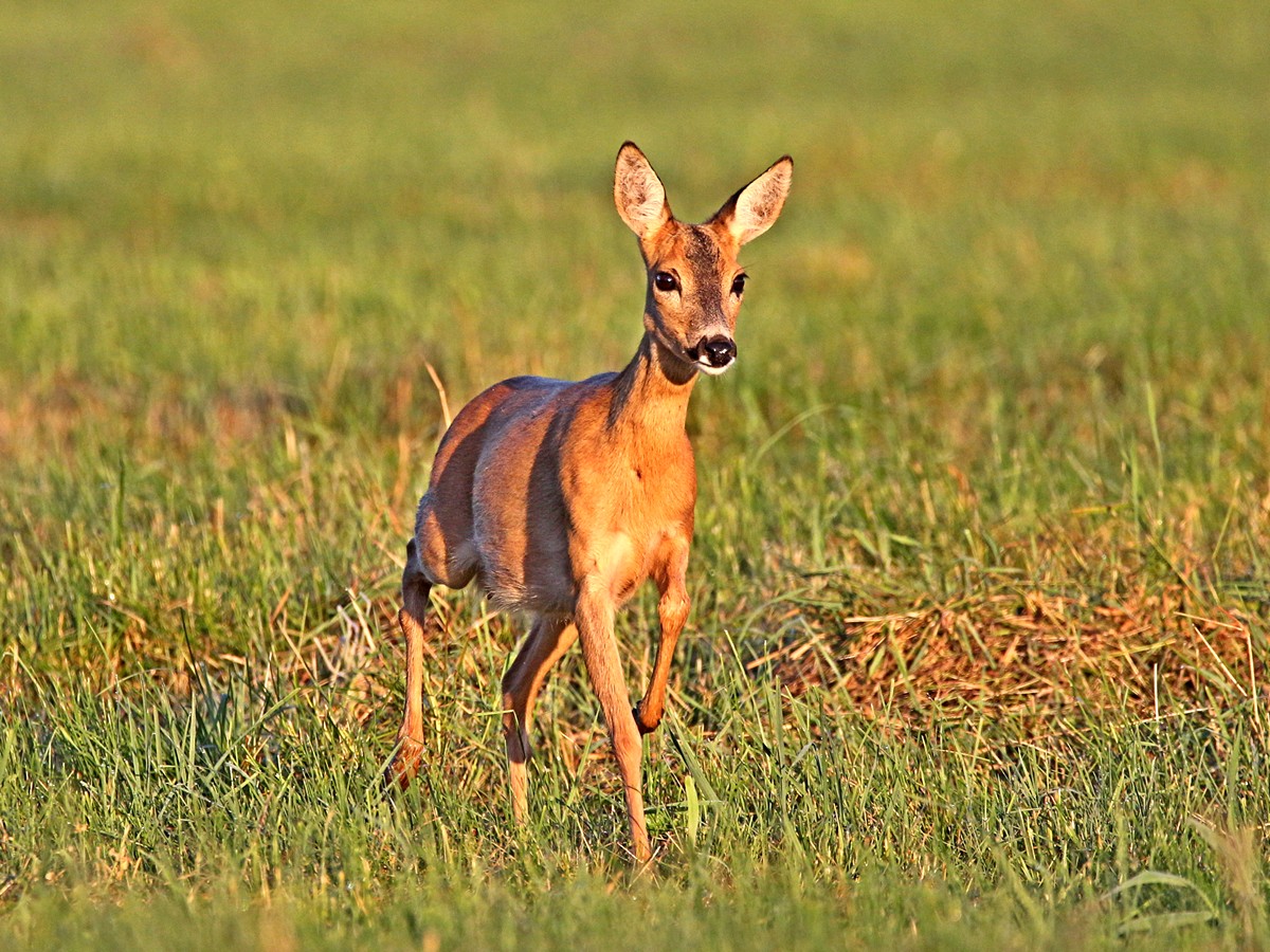
Wildlife in October
The birds and mammals of Switzerland seen most this month, compared with the rest of their year.



The sky over S-charl
Earthquakes around S-charl
The last 30 days within 300 km, and the record since 1950.
Strongest nearby since 1950
Towns and villages around S-charl
Each with its own page: weather, climate and the best time to visit.
S-charl from above
Getting to S-charl
Places near S-charl


Places with a climate like S-charl
Matched month by month on temperature, rain and sunshine.


