


Satellite: Sentinel-2 cloudless 2016 by EOX IT Services GmbH · CC BY 4.0 · Contains modified Copernicus Sentinel data 2016
SkiingBellevue, Alberta
Castle Mountain Resort
Ski area78 kmSnow Jan–May · Oct–Dec
Pistes78 kmdownhill
Lifts9in the area
Snow seasonJan–May · Oct–DecMount Haig
Nearest town–
49.31° N, 114.43° WUTC−6 · Mountain Daylight Time
When to goBellevue · weather score
Best timeJul–Sep
October: high / low10° / -1°
Skiing
Castle Mountain Resort in brief
Castle Mountain Resort is a ski area in Bellevue, Alberta, Canada with about 78 km of downhill pistes and 9 lifts.
At Mount Haig (2,610 m), the nearest summit, precipitation falls mostly as snow in Jan–May · Oct–Dec.
Weather nearby now
–
Pistes by difficulty
Kilometres of downhill piste, as mappedLifts
9- Chairlifts6
- T-bars2
- Moving carpets1
Snow through the year
Mount Haig · 2,610 mJan❄-13°
Feb❄-12°
Mar❄-8°
Apr❄-4°
May❄1°
Jun·6°
Jul·10°
Aug·10°
Sep·4°
Oct❄-2°
Nov❄-10°
Dec❄-15°
Snow: months when the mean temperature at the summit is at most +1 °C and at least 10 mm falls. Below: mean temperature at the summit.
Around here
Bellevue and around

Photo: dave_7 from Lethbridge, Canada · CC BY 2.0 · Wikimedia CommonsReport this photo · linked, not stored
Bellevue
Alberta · Canada
Jul–Sepbest months
24°July high
1,293 maltitude
Nature

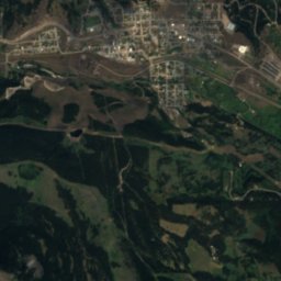
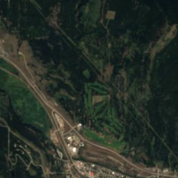
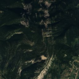
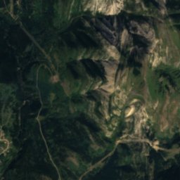
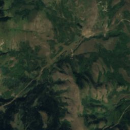
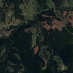
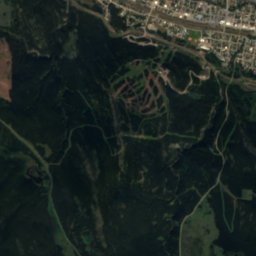
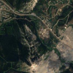
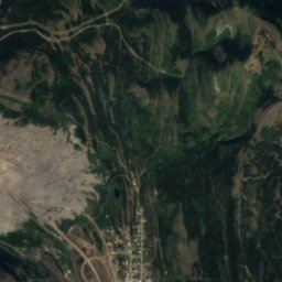
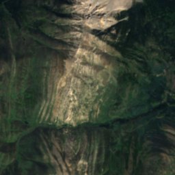
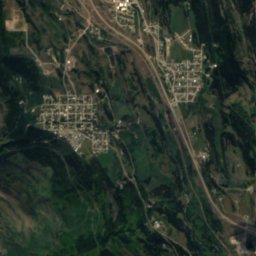
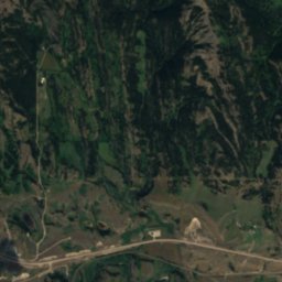
Satellite: Sentinel-2 cloudless 2016 by EOX IT Services GmbH · CC BY 4.0 · Contains modified Copernicus Sentinel data 2016
Frank Lake, Bellevue
Lake
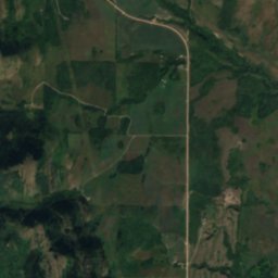
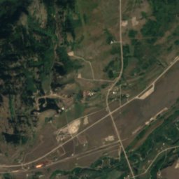
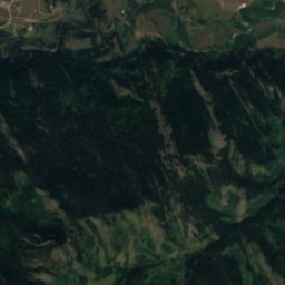
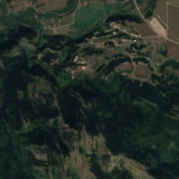
Satellite: Sentinel-2 cloudless 2016 by EOX IT Services GmbH · CC BY 4.0 · Contains modified Copernicus Sentinel data 2016
Redfern Lake, Alberta
Lake
Mountains
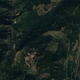
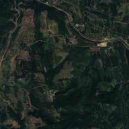
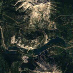
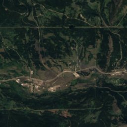
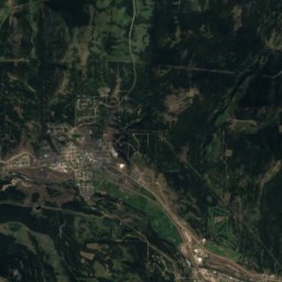
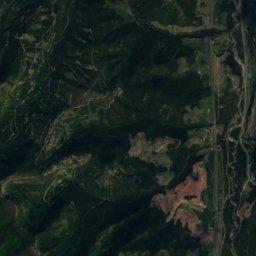
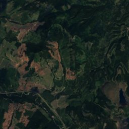
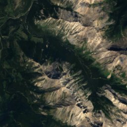
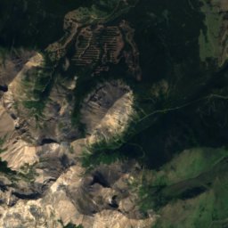
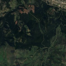
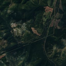
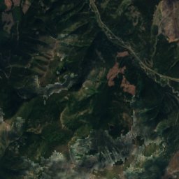
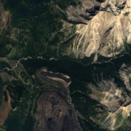
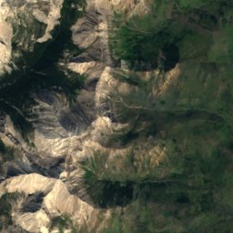
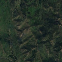
Satellite: Sentinel-2 cloudless 2016 by EOX IT Services GmbH · CC BY 4.0 · Contains modified Copernicus Sentinel data 2016
Mount Ptolemy
2,813 m · Crowsnest Range

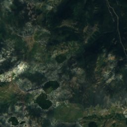
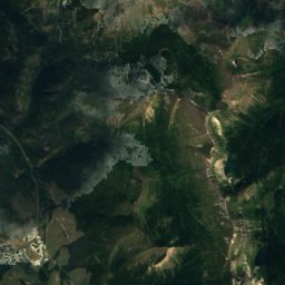
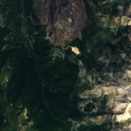
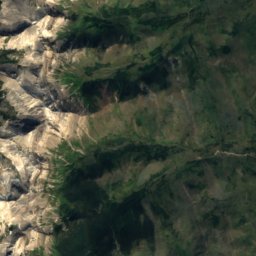
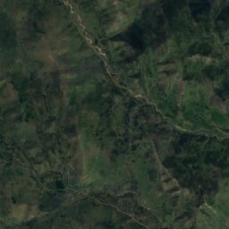
Satellite: Sentinel-2 cloudless 2016 by EOX IT Services GmbH · CC BY 4.0 · Contains modified Copernicus Sentinel data 2016
Mount Darrah
2,758 m · Flathead Range
Heritage


Museums

Satellite: Sentinel-2 cloudless 2016 by EOX IT Services GmbH · CC BY 4.0 · Contains modified Copernicus Sentinel data 2016
Frank Slide Interpretive Centre
Interpretation centre


