
ghost townBlairmore, Alberta
Lille
provincial historic resource
Typeghost town
Built–
Best monthsJul–Sepweather in Blairmore
49.65° N, 114.40° WUTC−6 · Mountain Daylight Time
When to goBlairmore · weather score
Best timeJul–Sep
October: high / low10° / -1°
iAbout
Lille in brief
Lille is a ghost town in Blairmore, Alberta, Canada.
It holds the designation provincial historic resource.
For a visit, the weather in Blairmore is best in July, August and September; in October afternoons average 10°.
iiLocation
Where to find it
iiiWhen to visit
Climate guideWeather in Blairmore
Month score for sightseeing
Best Jul–Sep37
Jan
27
Feb
23
Mar
21
Apr
47
May
66
Jun
73
Jul
75
Aug
77
Sep
33
Oct
20
Nov
23
Dec
Around here
Blairmore and around

Photo: Darren Kirby from Nanaimo, Canada · CC BY-SA 2.0 · Wikimedia CommonsReport this photo · linked, not stored
Blairmore
Alberta · Canada
Jul–Sepbest months
24°July high
1,344 maltitude
Nature
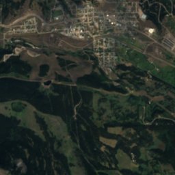
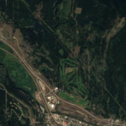
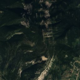
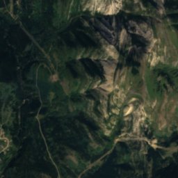
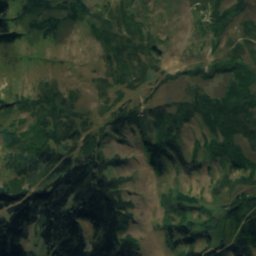
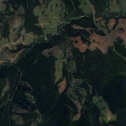
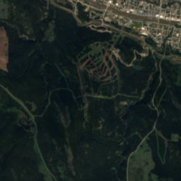
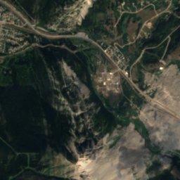
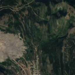
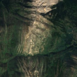
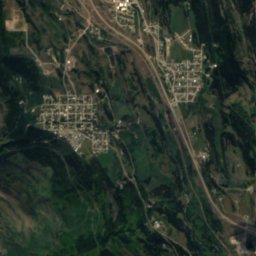
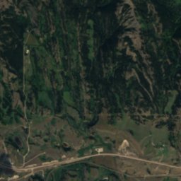
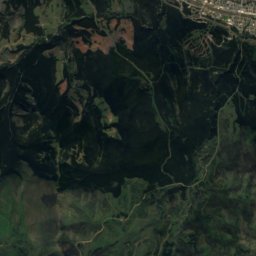
Satellite: Sentinel-2 cloudless 2016 by EOX IT Services GmbH · CC BY 4.0 · Contains modified Copernicus Sentinel data 2016
Frank Lake, Bellevue
Lake
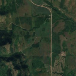
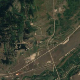
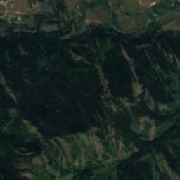
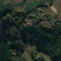
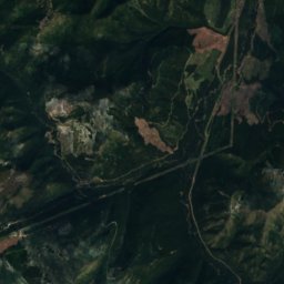
Satellite: Sentinel-2 cloudless 2016 by EOX IT Services GmbH · CC BY 4.0 · Contains modified Copernicus Sentinel data 2016
Redfern Lake, Alberta
Lake
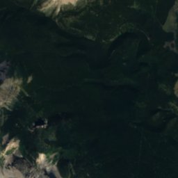
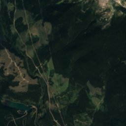
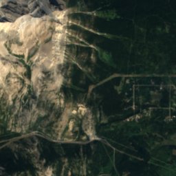
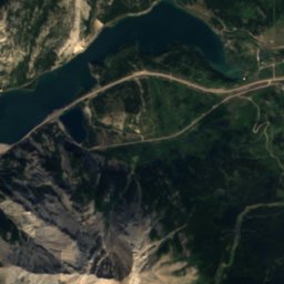
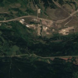
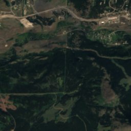
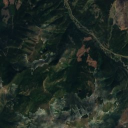
Satellite: Sentinel-2 cloudless 2016 by EOX IT Services GmbH · CC BY 4.0 · Contains modified Copernicus Sentinel data 2016
Star Creek Falls
Waterfall
Mountains
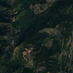
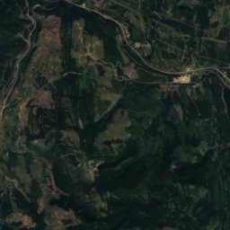
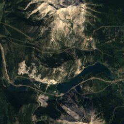
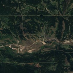
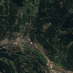
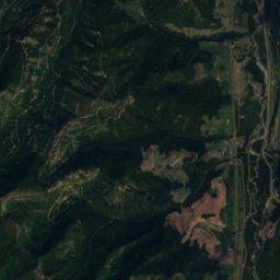
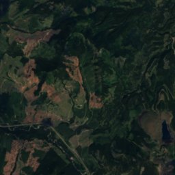
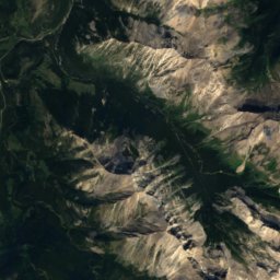
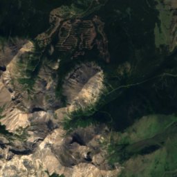
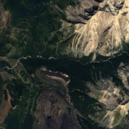
Satellite: Sentinel-2 cloudless 2016 by EOX IT Services GmbH · CC BY 4.0 · Contains modified Copernicus Sentinel data 2016
Mount Ptolemy
2,813 m · Crowsnest Range

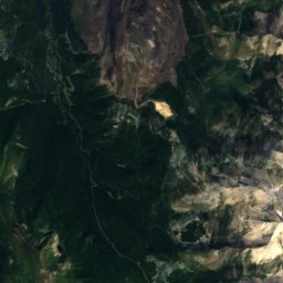
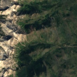
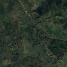
Satellite: Sentinel-2 cloudless 2016 by EOX IT Services GmbH · CC BY 4.0 · Contains modified Copernicus Sentinel data 2016
Mount Darrah
2,758 m · Flathead Range
Heritage


Museums





Satellite: Sentinel-2 cloudless 2016 by EOX IT Services GmbH · CC BY 4.0 · Contains modified Copernicus Sentinel data 2016
Frank Slide Interpretive Centre
Interpretation centre


